Caldwell Law

Hill, Mountain in Renfrewshire

Scotland

Caldwell Law

Uplawmoor Hotel
Uplawmoor Hotel Credit: Josie Campbell

Caldwell Law is a prominent hill located in Renfrewshire, Scotland. Standing at an impressive height of 180 meters (590 feet), it offers stunning panoramic views of the surrounding countryside and beyond. The hill is situated near the village of Uplawmoor, approximately 14 kilometers (8.7 miles) southwest of the town of Paisley.

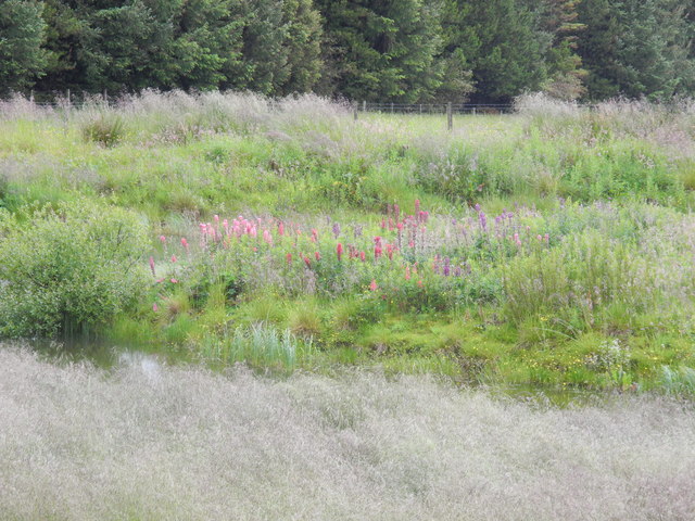
Known for its distinctive conical shape, Caldwell Law is a popular destination for hikers and nature enthusiasts. The hill is covered in lush greenery, with a rich variety of plant and animal species inhabiting its slopes. It is also home to several walking trails, making it an ideal spot for outdoor activities such as walking, running, and birdwatching.

At the summit of Caldwell Law, visitors are rewarded with breathtaking views of Renfrewshire and the neighboring counties of Ayrshire and Lanarkshire. On clear days, it is even possible to see as far as the Isle of Arran and the Firth of Clyde.

Caldwell Law holds historical significance as well. The remains of a hillfort, believed to date back to the Iron Age, can be found on its slopes. This ancient structure adds an extra layer of intrigue to the hill, attracting history enthusiasts keen to explore its past.

Overall, Caldwell Law is a picturesque hill offering both natural beauty and historical interest. Its accessibility and stunning vistas make it a popular destination for locals and tourists alike, seeking to immerse themselves in the tranquility of the Scottish countryside.

If you have any feedback on the listing, please let us know in the comments section below.
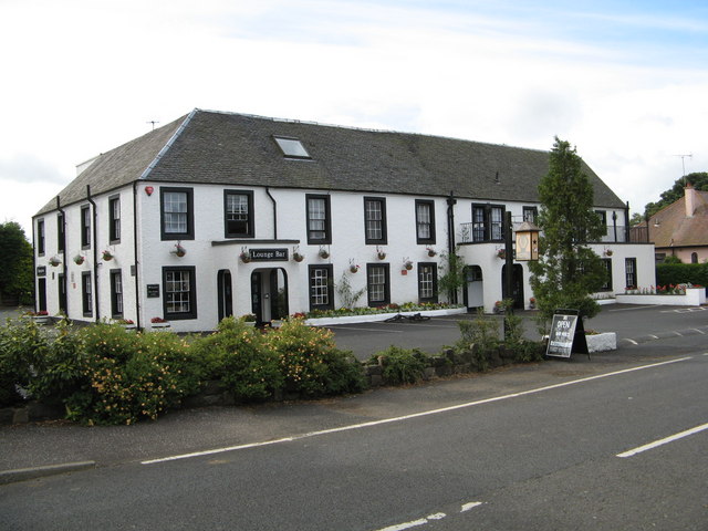
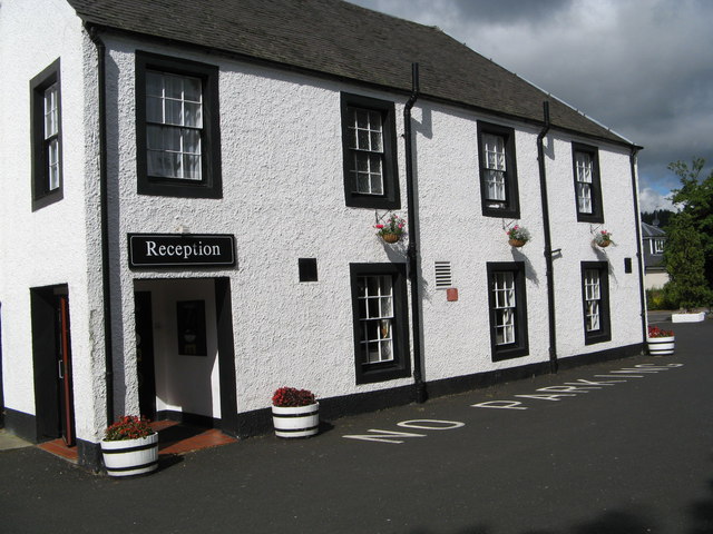
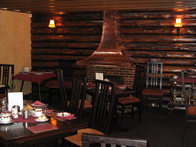
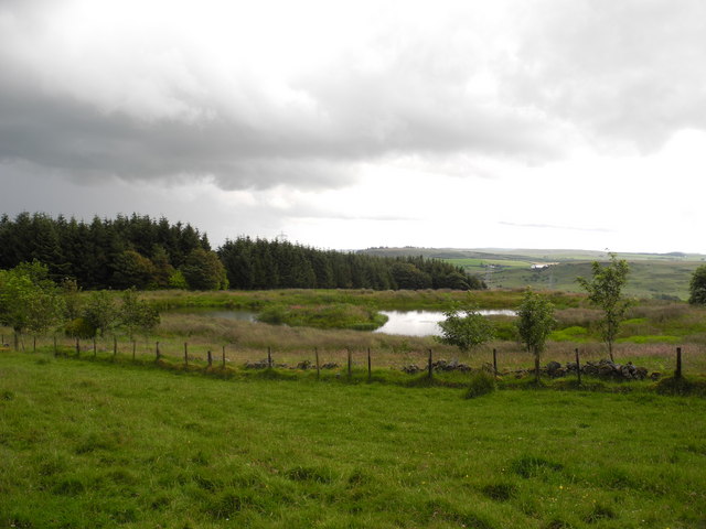
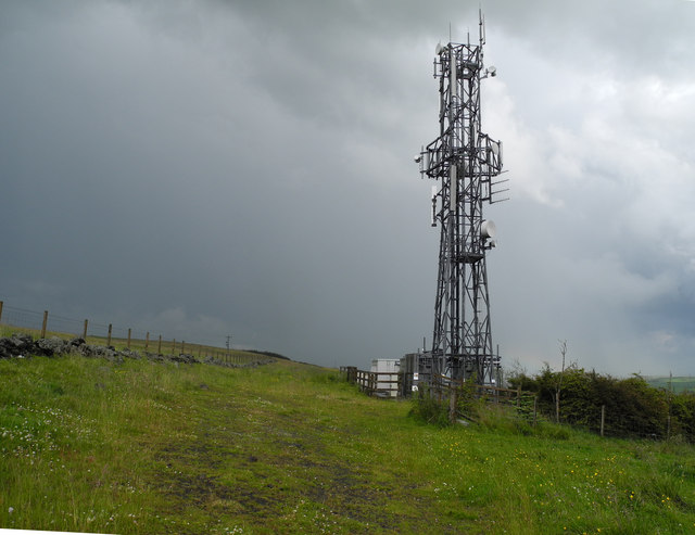
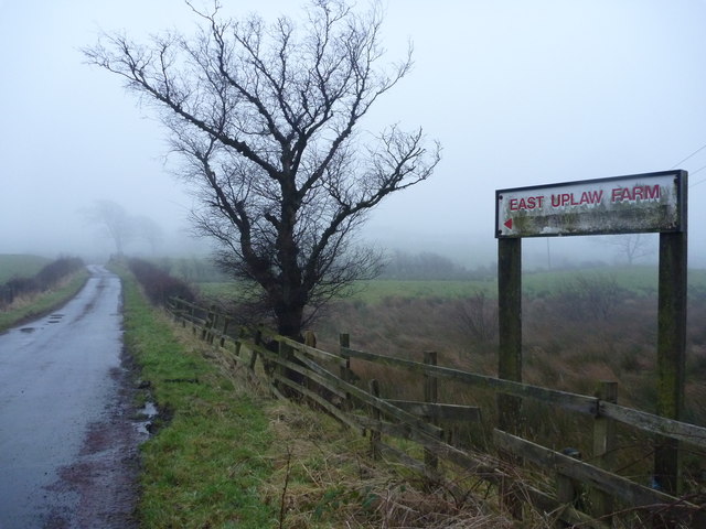
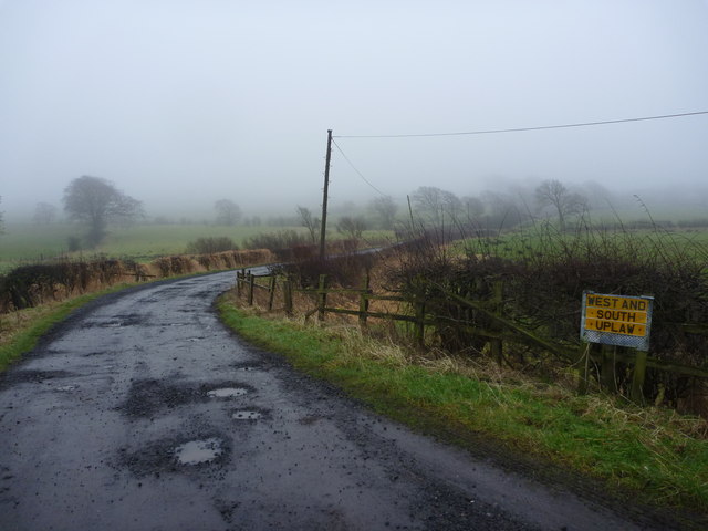
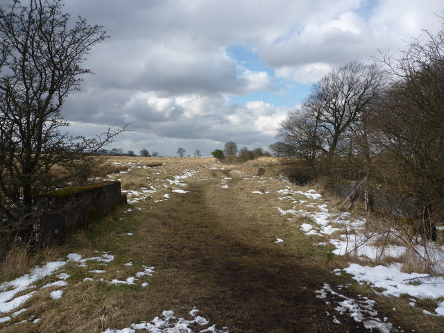
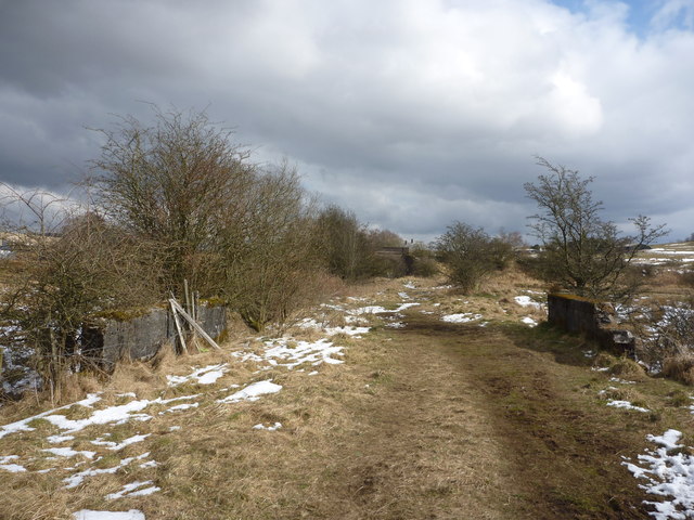
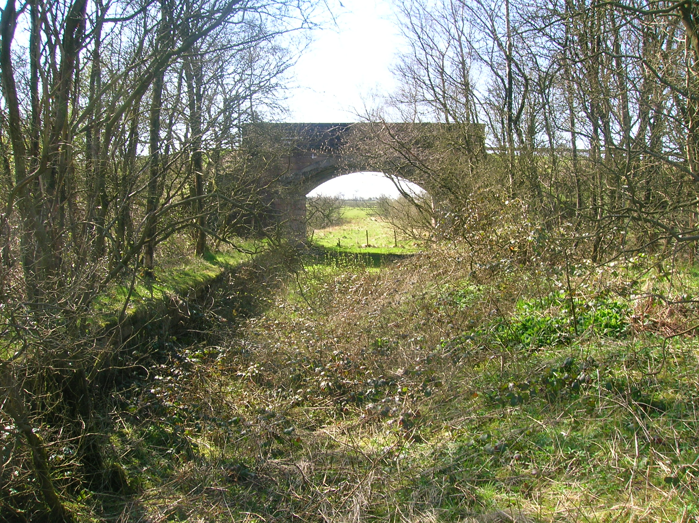
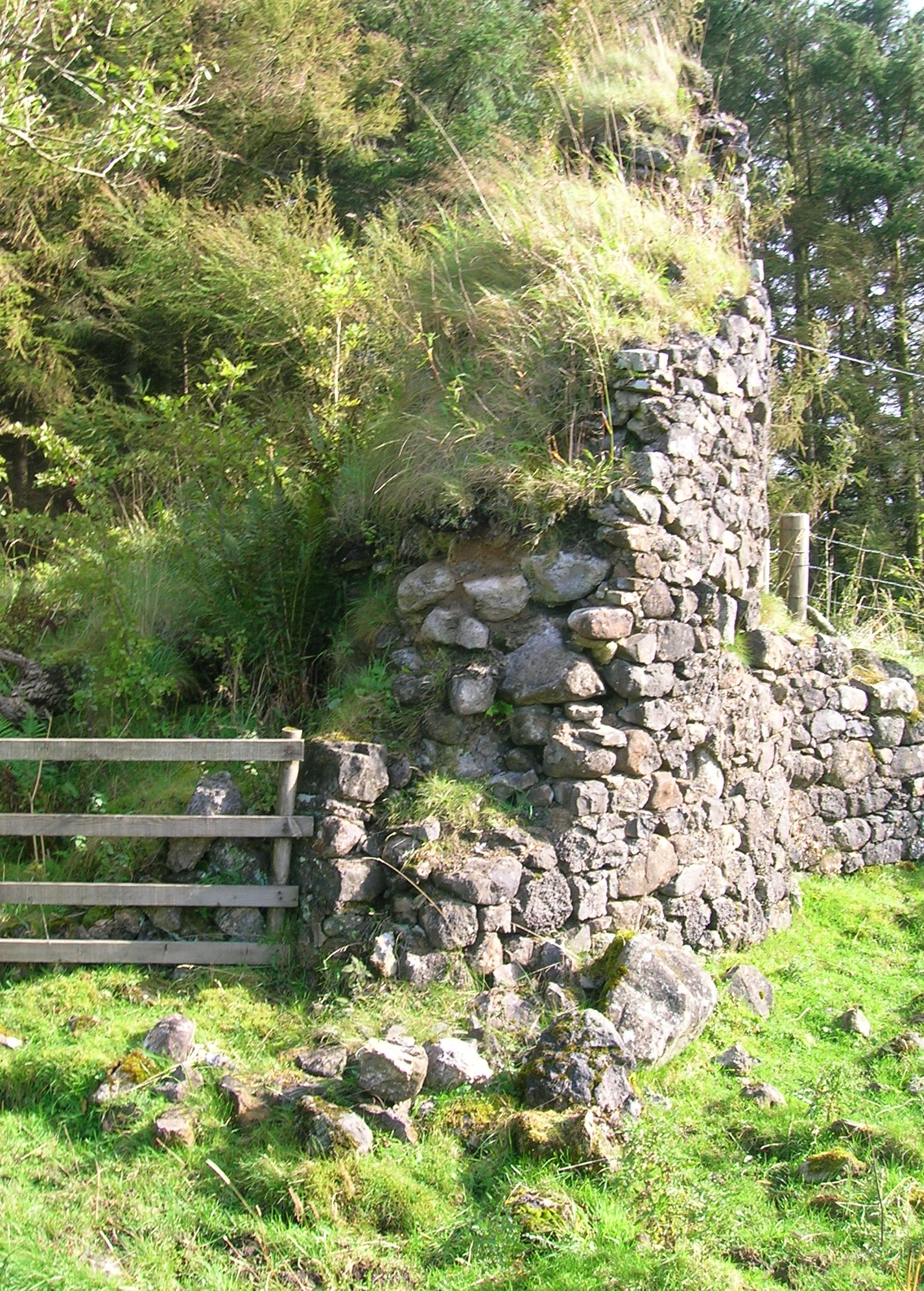
Caldwell Law Images

Images are sourced within 2km of 55.771535/-4.5060415 or Grid Reference NS4255. Thanks to Geograph Open Source API. All images are credited.

Uplawmoor Hotel
Uplawmoor Hotel
Uplawmoor Hotel Side view of reception area
Uplawmoor Hotel
Side view of reception area
Uplawmoor Hotel The restaurant
Uplawmoor Hotel
The restaurant
Lochan beside Corkindale Law A summer view of the lochan, though on a miserable day.
Lochan beside Corkindale Law
A summer view of the lochan, though on a miserable day.
Island in lochan Wondered what the flowers were on island in lochan - zoomed in - they turned out to be lupins!
Island in lochan
Wondered what the flowers were on island in lochan - zoomed in - they turned out to be lupins!
Communications mast above Finniebrae
Rural East Renfrewshire : East Uplaw Road-end A dreich morning near Uplawmoor.
Rural East Renfrewshire : East Uplaw Road-end
A dreich morning near Uplawmoor.
Rural East Renfrewshire : West and South Uplaw Road-end East Renfrewshire may have some excellent schools but many of the roads in this rural district are in an appalling condition.
Rural East Renfrewshire : West and South Uplaw Road-end
East Renfrewshire may have some excellent schools but many of the roads in this rural district are in an appalling condition.
Northern East Ayrshire : Spunkie Cottage near Uplawmoor
Rural East Renfrewshire : Uplawmoor Station
Site of Caldwell - later Uplawmoor, station This is the former Glasgow, Barrhead & Kilmarnock (later Glasgow & South-Western) line from Glasgow St Enoch, later from Glasgow Central - and by 1986 single-track, to Kilmarnock and Carlisle. Until 2/4/62 Caldwell was named 'Uplawmoor'; it was closed on 7/11/66 - after having been portrayed on TV as 'Tannochbrae' in 'Dr Finlay's Casebook'. The water ahead is Loch Libo.
Site of Caldwell - later Uplawmoor, station
This is the former Glasgow, Barrhead & Kilmarnock (later Glasgow & South-Western) line from Glasgow St Enoch, later from Glasgow Central - and by 1986 single-track, to Kilmarnock and Carlisle. Until 2/4/62 Caldwell was named 'Uplawmoor'; it was closed on 7/11/66 - after having been portrayed on TV as 'Tannochbrae' in 'Dr Finlay's Casebook'. The water ahead is Loch Libo.
Rural East Renfrewshire : Gates On The Castburn Path, Uplawmoor
Rural East Renfrewshire : Aged And Worn Sign On The Castburn Path, Uplawmoor This sign appears to date from the late 1980's and describes the "Glasgow and Irvine Railway Path and Cycleroute", a route that is a good few miles to the west of this location.
Rural East Renfrewshire : Aged And Worn Sign On The Castburn Path, Uplawmoor
This sign appears to date from the late 1980's and describes the "Glasgow and Irvine Railway Path and Cycleroute", a route that is a good few miles to the west of this location.
Rural East Renfrewshire : Tannoch Road Railway Bridge, Uplawmoor Station This bridge, at the southern end of the derelict platforms of the long-closed Uplawmoor station, carries Tannoch Road over the former Caledonian Railway line from Glasgow and Lanarkshire to the Ayrshire port of Ardrossan.
Rural East Renfrewshire : Tannoch Road Railway Bridge, Uplawmoor Station
This bridge, at the southern end of the derelict platforms of the long-closed Uplawmoor station, carries Tannoch Road over the former Caledonian Railway line from Glasgow and Lanarkshire to the Ayrshire port of Ardrossan.
Rural East Renfrewshire : South From Uplawmoor Station Standing underneath the Tannoch Road bridge, looking SW along the trackbed of the ex-Caledonian Railway line from Glasgow and Lanarkshire to the Ayrshire port of Ardrossan.
Rural East Renfrewshire : South From Uplawmoor Station
Standing underneath the Tannoch Road bridge, looking SW along the trackbed of the ex-Caledonian Railway line from Glasgow and Lanarkshire to the Ayrshire port of Ardrossan.
Rural East Renfrewshire : Tannoch Road Bridge and Uplawmoor Station Standing on the trackbed of the former Caledonian Railway line to Ardrossan, looking under the Tannoch Road bridge to the platform ends of the long demolished station at Uplawmoor.
Rural East Renfrewshire : Tannoch Road Bridge and Uplawmoor Station
Standing on the trackbed of the former Caledonian Railway line to Ardrossan, looking under the Tannoch Road bridge to the platform ends of the long demolished station at Uplawmoor.
Northern East Ayrshire : Small Parapets South of Uplawmoor Heading southwest from Uplawmoor on the old Caledonian Railway line.
Northern East Ayrshire : Small Parapets South of Uplawmoor
Heading southwest from Uplawmoor on the old Caledonian Railway line.
Northern East Ayrshire : Approaching The Boundary The narrow stream that flows under the trackbed between those parapets forms the boundary between East Ayrshire and East Renfrewshire.

The bridge in the distance is at the old Uplawmoor station in East Renfrewshire.
Northern East Ayrshire : Approaching The Boundary
The narrow stream that flows under the trackbed between those parapets forms the boundary between East Ayrshire and East Renfrewshire. The bridge in the distance is at the old Uplawmoor station in East Renfrewshire.
Show me another place!

Caldwell Law is located at Grid Ref: NS4255 (Lat: 55.771535, Lng: -4.5060415)

Unitary Authority: East Renfrewshire

Police Authority: Greater Glasgow

What 3 Words

///skim.forecast.repayment. Near Neilston, East Renfrewshire

Related Wikis

Loch Libo

Loch Libo is a freshwater loch in East Renfrewshire, Parish of Neilston, Scotland. The Lugton Water has its source from the southern end of loch, running...

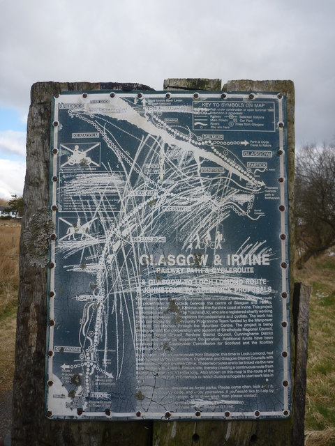
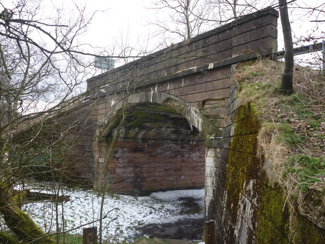
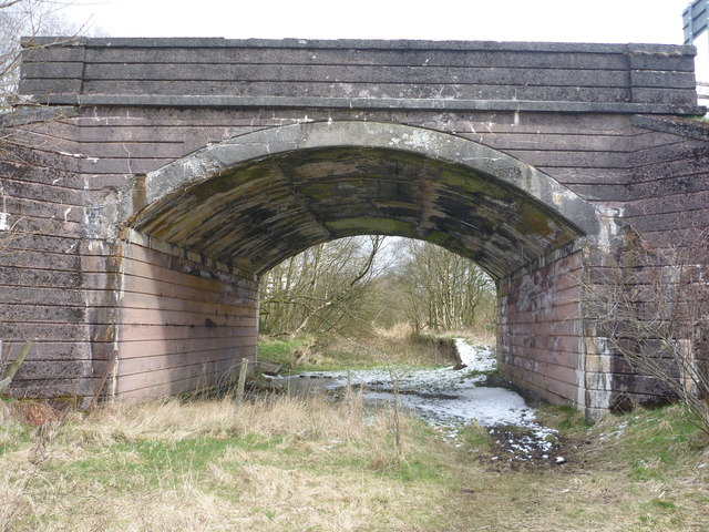
Uplawmoor (GB&K) railway station

Uplawmoor railway station was a railway station near the village of Uplawmoor, East Renfrewshire, Scotland. The station was originally part of the Glasgow...

Uplawmoor

Uplawmoor is a village in East Renfrewshire, Scotland. Its population was 700 as of 2016. Historic Uplawmoor, associated for centuries with the Barony...

Uplawmoor (L&A) railway station

Uplawmoor railway station was a railway station serving the village of Uplawmoor, East Renfrewshire, Scotland as part of the Lanarkshire and Ayrshire Railway...

Shillford

Shillford or Shilford is a hamlet to the south-west of Barrhead on the Lochlibo Road in East Renfrewshire near Uplawmoor, Scotland in the parish of Neilston...

Caldwell, East Renfrewshire

Caldwell is a mansion and old estate with the remains of a castle nearby. These lands lie close to the Lugton Water and the villages of Uplawmoor in East...

Auchenbathie Tower

Auchenbathie, Auchinbathie Tower or rarely Barcraigs Tower is a ruined fortification, a tower house, once held by the Wallace Clan of Elderslie, situated...

Lugton

Lugton is a small village or hamlet in East Ayrshire, Scotland with a population of 80 people. The A736 road runs through on its way from Glasgow, 15 miles...

Related Videos

VANDUARA - Renfrewshire's Capital of the Damnonii

In the middle of a wet marshy moor not far from Howwood in Renfrewshire, by the ruins of North Castlewalls, sits Walls Hill, site of ...

exploring abandoned Caldwell house Glasgow

I posted it again because the last one the camera angle needed fixed.

Nearby Amenities

Located within 500m of 55.771535,-4.5060415
Power: pole
Lat/Long: 55.7694796/-4.5094685
Power: pole
Lat/Long: 55.7700889/-4.509746
Power: pole
Lat/Long: 55.7708308/-4.5100862
Power: pole
Lat/Long: 55.7688727/-4.5117473
Power: pole
Lat/Long: 55.769219/-4.510466
Power: pole
Lat/Long: 55.769705/-4.5086003
Power: pole
Lat/Long: 55.7699645/-4.5076362
Power: pole
Lat/Long: 55.7702368/-4.5065907
The data included in this document is from www.openstreetmap.org. The data is made available under ODbL.

Have you been to Caldwell Law?

Leave your review of Caldwell Law below (or comments, questions and feedback).