Mountpleasant Plantation

Wood, Forest in Kirkcudbrightshire

Scotland

Mountpleasant Plantation

Woodland Path, Blairmount Park Part of the Newton Stewart Walks (walk 5).
Woodland Path, Blairmount Park Credit: Billy McCrorie

Mountpleasant Plantation is a picturesque woodland located in Kirkcudbrightshire, Scotland. Covering an area of approximately 500 acres, it is a haven for nature enthusiasts and offers a unique experience for visitors seeking tranquility and natural beauty.

The plantation is predominantly made up of dense forest, characterized by a mix of deciduous and coniferous trees. Towering oak, beech, and pine trees create a captivating landscape, while a variety of native plants and wildflowers flourish beneath their canopies. The diverse flora provides a habitat for numerous species of birds, mammals, and insects, making it a popular destination for wildlife enthusiasts and birdwatchers.

Several well-maintained walking trails wind their way through the plantation, offering visitors the opportunity to explore its enchanting surroundings. These trails vary in difficulty and length, catering to both casual strollers and more adventurous hikers. Along the paths, visitors may stumble upon charming streams and small ponds, adding to the idyllic ambiance of the plantation.

Mountpleasant Plantation also boasts a rich history. It is believed to have been established in the late 18th century, and remnants of old structures, such as stone walls and ruins, can still be found throughout the woodland. These historical elements serve as a reminder of the area's past and add an intriguing layer to the overall experience.

Overall, Mountpleasant Plantation in Kirkcudbrightshire offers visitors a chance to immerse themselves in the beauty of nature. Its lush forests, diverse wildlife, and historical remnants make it a must-visit destination for those seeking a peaceful and captivating outdoor experience.

If you have any feedback on the listing, please let us know in the comments section below.

Mountpleasant Plantation Images

Images are sourced within 2km of 54.958097/-4.4700332 or Grid Reference NX4165. Thanks to Geograph Open Source API. All images are credited.

Woodland Path, Blairmount Park Part of the Newton Stewart Walks (walk 5).
Woodland Path, Blairmount Park
Part of the Newton Stewart Walks (walk 5).
Moss Covered Dry Stane Dyke
Woodland Path meets Road Part of the Newton Stewart Walks (walk 5).
Woodland Path meets Road
Part of the Newton Stewart Walks (walk 5).
Woodland Path, Blairmount Park Part of the Newton Stewart Walks (walk 5).
Woodland Path, Blairmount Park
Part of the Newton Stewart Walks (walk 5).
Old Turnstile, Blairmount Park
By-Pass Road, Newton Stewart
Path Sign, Blairmount Park
Woodland Path, Blairmount Park Part of the Newton Stewart Walks (walk 5). You can just make out the old turnstile in the centre.
Woodland Path, Blairmount Park
Part of the Newton Stewart Walks (walk 5). You can just make out the old turnstile in the centre.
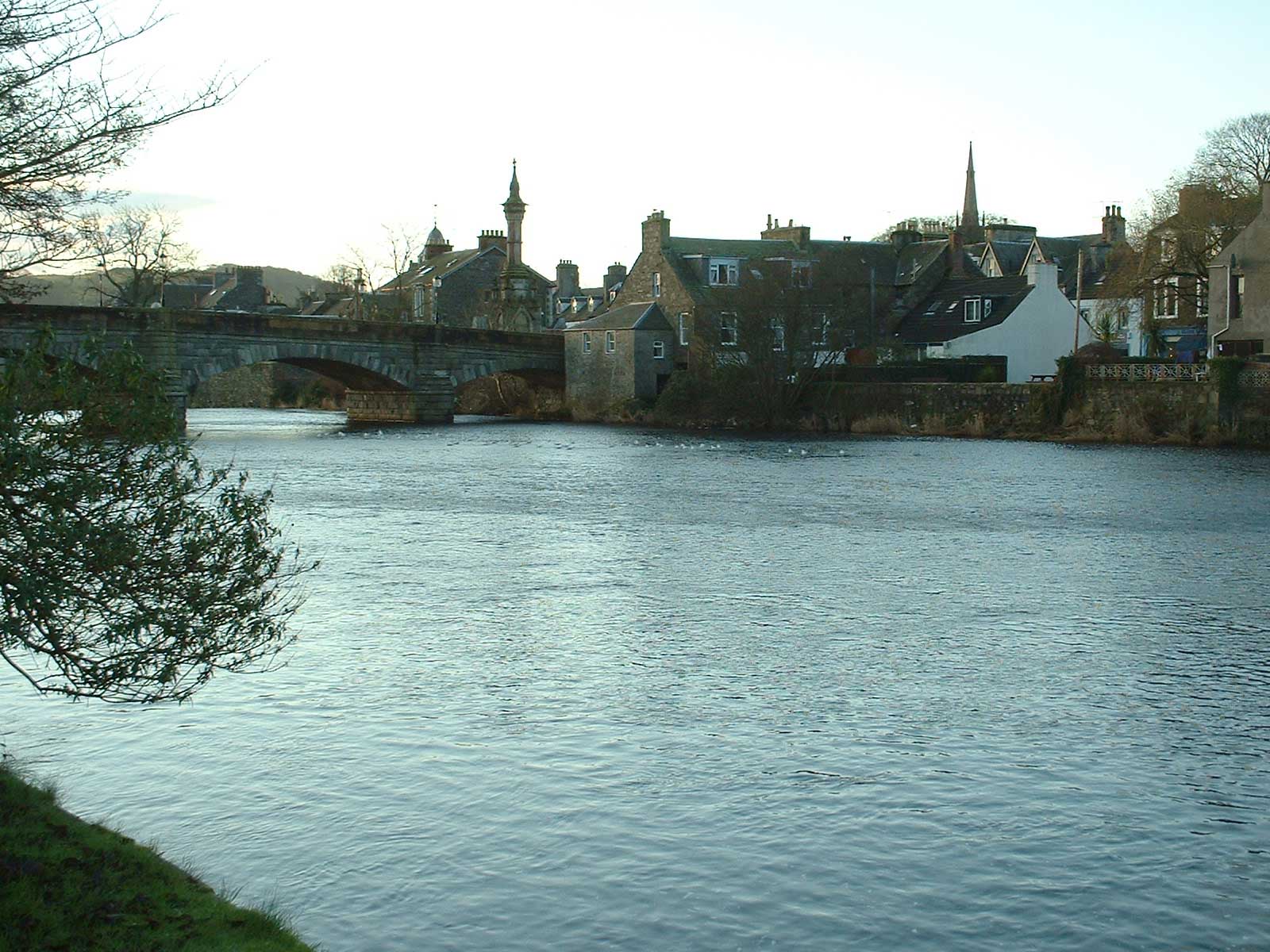
The River Cree at Newton Stewart
Buildings on the west side of Victoria Street Victoria Street in Newton Stewart with the Central Bar at the junction with Church Lane.
Buildings on the west side of Victoria Street
Victoria Street in Newton Stewart with the Central Bar at the junction with Church Lane.
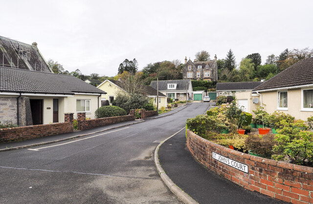
St. John's Court in Newton Stewart St. John's Court is a short, residential street branching to the west from York Road in Newton Stewart.
St. John's Court in Newton Stewart
St. John's Court is a short, residential street branching to the west from York Road in Newton Stewart.
Cree Valley Community Woodlands Trust At Blairmount Park in Newton Stewart.
Cree Valley Community Woodlands Trust
At Blairmount Park in Newton Stewart.
Welcome to Blairmount Park Map and History of the park at Newton Stewart.
Welcome to Blairmount Park
Map and History of the park at Newton Stewart.
Boardwalk at the Pond In Blairmount Park, Newton Stewart.
Boardwalk at the Pond
In Blairmount Park, Newton Stewart.
Synchronized Ducks At the Pond in Blairmount Park, Newton Stewart
Synchronized Ducks
At the Pond in Blairmount Park, Newton Stewart
Pond, Blairmount Park At Newton Stewart.
Pond, Blairmount Park
At Newton Stewart.
Show me another place!

Mountpleasant Plantation is located at Grid Ref: NX4165 (Lat: 54.958097, Lng: -4.4700332)

Unitary Authority: Dumfries and Galloway

Police Authority: Dumfries and Galloway

What 3 Words

///offer.expansion.ooze. Near Newton Stewart, Dumfries & Galloway

Related Wikis

Kirroughtree House

Kirroughtree House is the heritage-listed mansion house (Category B listing.) of the Kirroughtree estate. It occupies a prominent position 1 mile (1.6...

McMillan Hall, Newton Stewart

The McMillan Hall is a municipal building in Dashwood Square in Newton Stewart, Dumfries and Galloway, Scotland. The structure, which is used as a community...

Penninghame

Penninghame in Wigtownshire, Dumfries and Galloway, Scotland, is a civil parish area, 8 miles (N. W.) from Wigtown. The area is approx 16 miles in length...

Douglas Ewart High School

Douglas Ewart High School was opened in 1922 in Newton Stewart, Scotland. It was formed by the amalgamation of the Douglas Free School opened in 1834...

Minnigaff

Minnigaff is a village and civil parish in the historic county of Kirkcudbrightshire in Dumfries and Galloway, Scotland. Lead was discovered there in...

Newton Stewart

Newton Stewart (Gd: Baile Ùr nan Stiùbhartach) is a former burgh town in the historical county of Wigtownshire in Dumfries and Galloway, southwest Scotland...

Newton Stewart railway station

Newton Stewart railway station served the town of Newton Stewart, Dumfries and Galloway, Scotland from 1861 to 1965 on the Portpatrick and Wigtownshire...

Newton Stewart Hospital

Newton Stewart Hospital is a health facility in Newton Stewart, Dumfries and Galloway, Scotland. It is managed by NHS Dumfries and Galloway. == History... ==

Nearby Amenities

Located within 500m of 54.958097,-4.4700332
Bus Stop
Dunkitterick Drive
Naptan AtcoCode: 680000329222
Naptan Bearing: SW
Naptan CommonName: Dunkitterick Drive
Naptan Indicator: no 1
Naptan Landmark: Murray Place
Naptan NaptanCode: 34236793
Naptan Notes: none
Naptan Street: Dunkitterick Place
Naptan Verified: no
Source: naptan_import
Lat/Long: 54.9601766/-4.4711051
Heron Way
Naptan AtcoCode: 680000337222
Naptan Bearing: S
Naptan BusStopType: CUS
Naptan CommonName: Heron Way
Naptan Indicator: no 20
Naptan Landmark: Minnigaff
Naptan NaptanCode: 34236792
Naptan Notes: none
Naptan Street: Heron Way
Naptan Verified: no
Source: naptan_import
Lat/Long: 54.9618289/-4.4680732
Bus Stop
McGregor Drive
Naptan AtcoCode: 680000338111
Naptan Bearing: NW
Naptan BusStopType: CUS
Naptan CommonName: McGregor Drive
Naptan Indicator: no 14
Naptan Landmark: Primary School
Naptan NaptanCode: 34236786
Naptan Notes: none
Naptan Street: McGregor Drive
Naptan Verified: no
Source: naptan_import
Lat/Long: 54.9611803/-4.4747912
Bus Stop
New Galloway Rd
Naptan AtcoCode: 680000501333
Naptan Bearing: NW
Naptan CommonName: New Galloway Rd
Naptan Indicator: opp racegreen
Naptan Landmark: Racegreen Avenue
Naptan NaptanCode: 34235273
Naptan Notes: none
Naptan Street: New Galloway Road
Naptan Verified: no
Source: naptan_import
Lat/Long: 54.9590616/-4.4706774
Bus Stop
New Galloway Rd
Naptan AtcoCode: 680000501444
Naptan Bearing: SE
Naptan CommonName: New Galloway Rd
Naptan Indicator: Racegreen
Naptan Landmark: Racegreen Avenue
Naptan NaptanCode: 34235272
Naptan Notes: none
Naptan Street: New Galloway Road
Naptan Verified: no
Source: naptan_import
Lat/Long: 54.9591514/-4.4706829
Bus Stop
Hole-in-the-wall
Naptan AtcoCode: 680000910333
Naptan Bearing: NW
Naptan CommonName: Hole-in-the-wall
Naptan Indicator: opp Shelter
Naptan Landmark: McGregor Drive
Naptan NaptanCode: 34235269
Naptan Notes: none
Naptan Street: New Galloway Road
Naptan Verified: no
Source: naptan_import
Lat/Long: 54.9600882/-4.4745678
Bus Stop
Hole-in-the-Wall
Naptan AtcoCode: 680000910444
Naptan Bearing: SE
Naptan CommonName: Hole-in-the-Wall
Naptan Indicator: Shelter
Naptan Landmark: McGregor Drive
Naptan NaptanCode: 34235268
Naptan Notes: none
Naptan ShortCommonName: Minnigaff
Naptan Street: New Galloway Road
Naptan Verified: no
Source: naptan_import
Lat/Long: 54.9602565/-4.4746875
Power: pole
Lat/Long: 54.9560237/-4.4641292
Power: pole
Lat/Long: 54.9556109/-4.4654489
Power: pole
Lat/Long: 54.9552074/-4.4667417
Power: pole
Lat/Long: 54.9544773/-4.4691449
Power: pole
Lat/Long: 54.9537072/-4.4716555
Power: pole
Lat/Long: 54.9550502/-4.4756457
Post Box
Collection Times: Mo-Fr 09:00; Sa 07:00
Operator: Royal Mail
Post Box Type: lamp
Ref: DG8 62D
Royal Cypher: scottish_crown
Lat/Long: 54.9606446/-4.4761126
Generator Method: photovoltaic
Generator Output Electricity: yes
Generator Source: solar
Generator Type: solar_photovoltaic_panel
Location: roof
Power: generator
Source: bing
Lat/Long: 54.9590869/-4.4713068
Generator Method: photovoltaic
Generator Output Electricity: yes
Generator Source: solar
Generator Type: solar_photovoltaic_panel
Location: roof
Power: generator
Lat/Long: 54.9574852/-4.4768348
Generator Method: photovoltaic
Generator Output Electricity: yes
Generator Source: solar
Generator Type: solar_photovoltaic_panel
Location: roof
Power: generator
Lat/Long: 54.9581567/-4.4768643
Generator Method: photovoltaic
Generator Output Electricity: yes
Generator Source: solar
Generator Type: solar_photovoltaic_panel
Location: roof
Power: generator
Lat/Long: 54.960978/-4.4711217
Shower
Access: customers
Fee: yes
Hot Water: yes
Lat/Long: 54.9589285/-4.4766886
Toilets
Access: customers
Lat/Long: 54.9589479/-4.4768198
Leisure: playground
Lat/Long: 54.9596304/-4.4769196
Leisure: picnic_table
Lat/Long: 54.9594895/-4.4759999
Reception Desk
Lat/Long: 54.9597766/-4.4767135
The data included in this document is from www.openstreetmap.org. The data is made available under ODbL.

Have you been to Mountpleasant Plantation?

Leave your review of Mountpleasant Plantation below (or comments, questions and feedback).