Crosslee Strip

Wood, Forest in Renfrewshire

Scotland

Crosslee Strip

East Fulton Primary School, Linwood The car park and nursery building are in the foreground.
East Fulton Primary School, Linwood Credit: G McK

Crosslee Strip is a woodland area located in Renfrewshire, Scotland. Situated near the village of Crosslee, it covers an approximate area of x square kilometers. The strip is part of a larger forested region known for its scenic beauty and diverse wildlife.

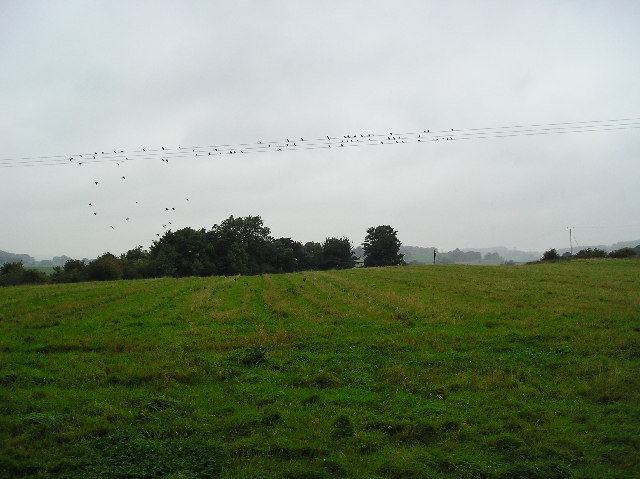
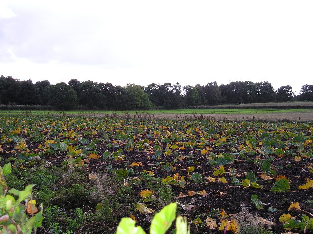
The woodlands of Crosslee Strip are predominantly composed of native tree species, including oak, birch, and Scots pine. These trees form a dense canopy, creating a tranquil and shaded environment for visitors to explore. The forest floor is covered in a rich carpet of mosses, ferns, and wildflowers, adding to the area's natural charm.

The strip is intersected by several walking trails, allowing visitors to fully immerse themselves in the beauty of the woodlands. These pathways vary in difficulty, catering to both casual strollers and experienced hikers. Along the trails, there are informational signs highlighting the flora and fauna found in the area, providing educational opportunities for nature enthusiasts.

Crosslee Strip is home to a diverse range of wildlife, including various bird species, small mammals, and insects. Nature lovers may spot red squirrels, roe deer, and a variety of woodland birds such as woodpeckers and song thrushes. The area also serves as an important habitat for a number of rare or endangered species.

In addition to its natural beauty, Crosslee Strip offers recreational activities such as picnicking and wildlife photography. The tranquility and seclusion of this woodland make it an ideal destination for those seeking a peaceful retreat away from the hustle and bustle of urban life.

If you have any feedback on the listing, please let us know in the comments section below.

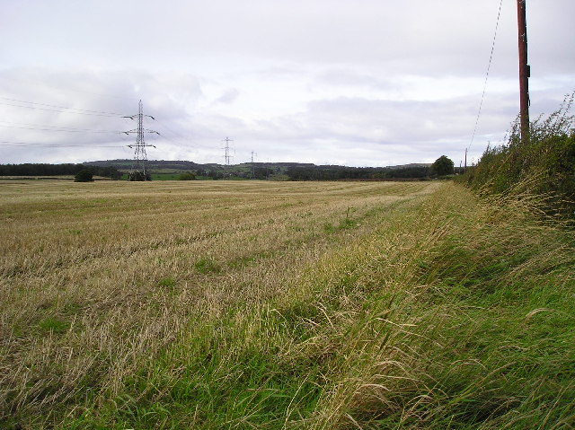
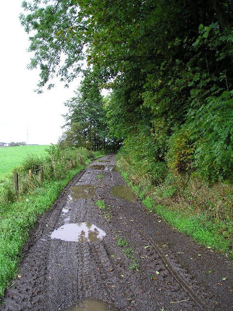
Crosslee Strip Images

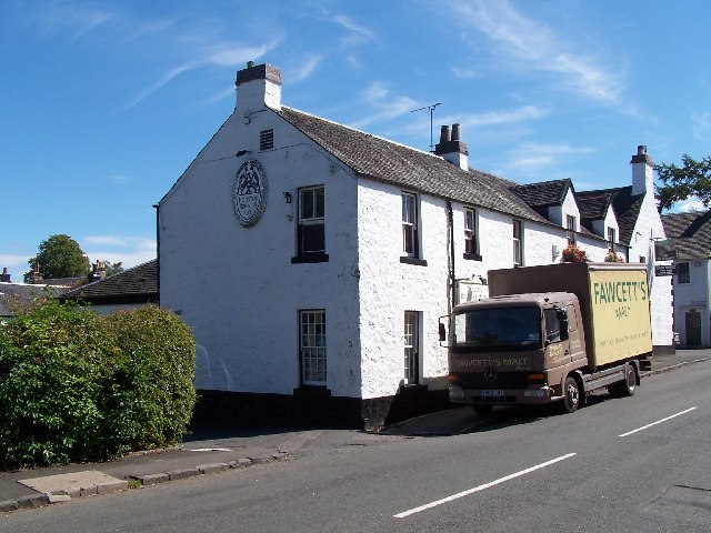
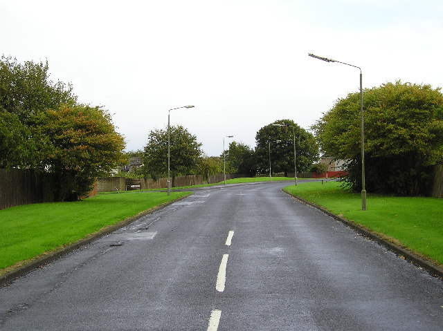
Images are sourced within 2km of 55.863253/-4.5304233 or Grid Reference NS4166. Thanks to Geograph Open Source API. All images are credited.

East Fulton Primary School, Linwood The car park and nursery building are in the foreground.
East Fulton Primary School, Linwood
The car park and nursery building are in the foreground.
The Houston brewing company Real ale on draught at the Fox and Hounds, same building.
The Houston brewing company
Real ale on draught at the Fox and Hounds, same building.
End of Summer Farmland note the old crop marks, and the Swallows (Maybe house Martins?) getting ready to head south.
End of Summer
Farmland note the old crop marks, and the Swallows (Maybe house Martins?) getting ready to head south.
Rising Ground Small hill Spot Height 24mtr to the west of Linwood Moss.
Rising Ground
Small hill Spot Height 24mtr to the west of Linwood Moss.
Linwoodmoss Wood Woodland area at the western edge of Linwoodmoss.
Linwoodmoss Wood
Woodland area at the western edge of Linwoodmoss.
Ardgryfe Crescent Road at a leafy housing estate at Houston Renfrewshire.The road taking its name in part from the River Gryfe which bounds the estate to the south.
Ardgryfe Crescent
Road at a leafy housing estate at Houston Renfrewshire.The road taking its name in part from the River Gryfe which bounds the estate to the south.
River Gryfe River Gryfe swollen by recent rain photographed from Crosslee Bridge.
River Gryfe
River Gryfe swollen by recent rain photographed from Crosslee Bridge.
Rhubarb Patch Rhubarb plants are perennial and are grown for their edible leaf stalks, although classed as a vegetable rhubarb is more usually eaten in desserts.
In this picture the plants are now dying back for the winter.
Rhubarb Patch
Rhubarb plants are perennial and are grown for their edible leaf stalks, although classed as a vegetable rhubarb is more usually eaten in desserts. In this picture the plants are now dying back for the winter.
Stubble Field of stubble at Turningshaw farm.
Stubble
Field of stubble at Turningshaw farm.
Farm track Farm Track bordering Chapel Farm and woodland surrounding Houston House.
Farm track
Farm Track bordering Chapel Farm and woodland surrounding Houston House.
St Fillan's Primary School, Houston
Kaimhill Farm
Kaimhill Farm
Winter Field
Winter Field
Kaimhill Farm Kilpatrick Hills in the distance.
Kaimhill Farm
Kilpatrick Hills in the distance.
National Cycle Route 75 milepost Route 75 has rather a lot of these posts, probably due to it being one of the early routes.
National Cycle Route 75 milepost
Route 75 has rather a lot of these posts, probably due to it being one of the early routes.
Grassland, Brookfield The old railway, which closed around 1983, prevented northern expansion of Brookfield. There are houses on the opposite side of the trackbed.
Grassland, Brookfield
The old railway, which closed around 1983, prevented northern expansion of Brookfield. There are houses on the opposite side of the trackbed.
Passing Brookfield The Bridge of Weir railway trackbed north of Brookfield. Now National Cycle Route 75.
Passing Brookfield
The Bridge of Weir railway trackbed north of Brookfield. Now National Cycle Route 75.
Bridge of Weir Railway The trackbed of the railway is now a cycle path (NCN 75). The railway was closed in 1983 after a lengthy campaign to keep it open. There is growing demand for reconstruction and development such as housing on the trackbed has so far been prevented.
Bridge of Weir Railway
The trackbed of the railway is now a cycle path (NCN 75). The railway was closed in 1983 after a lengthy campaign to keep it open. There is growing demand for reconstruction and development such as housing on the trackbed has so far been prevented.
Show me another place!

Crosslee Strip is located at Grid Ref: NS4166 (Lat: 55.863253, Lng: -4.5304233)

Unitary Authority: Renfrewshire

Police Authority: Renfrewshire and Inverclyde

What 3 Words

///popped.following.briefer. Near Houston, Renfrewshire

Nearby Locations

Craigends Crosslee Strip

Related Wikis

Craigends Yew

The Craigends Yew (NS4199566134) is an ancient European layering yew (Taxus baccata) growing next to the River Gryffe in what were the grounds of the Craigends...

Craigends

Craigends is a residential area in the civil parish of Houston and Killellan in Renfrewshire, Scotland lying south of the River Gryffe and on the banks...

Crosslee

Crosslee is a small village lying on the bank of the River Gryffe in the civil parish of Houston and Killellan, Renfrewshire, in Scotland. It lies around...

Houston House, Renfrewshire

Houston House is an 18th-century mansion, about 1 mile (1.6 km) north and east of Bridge of Weir, Renfrewshire, Scotland, north of the village of Houston...

Nearby Amenities

Located within 500m of 55.863253,-4.5304233
Turning Circle
Lat/Long: 55.8618143/-4.530541
Turning Circle
Lat/Long: 55.8619949/-4.5316192
Craigends
Place: quarter
Wikidata: Q5181664
Wikipedia: en:Craigends
Lat/Long: 55.8600587/-4.5291255
SWB Sports Therapy / Shiny Vinyl Record Cleaning
Start Date: 2020-10-01
Lat/Long: 55.8649408/-4.5364074
Bus Stop
Gryfebank Avenue
Bus: yes
Naptan AtcoCode: 61401000
Naptan NaptanCode: 73926232
Public Transport: platform
Lat/Long: 55.8610946/-4.5253741
Bus Stop
Gryfebank Avenue
Bus: yes
Naptan AtcoCode: 6140999
Naptan NaptanCode: 73925738
Public Transport: platform
Lat/Long: 55.8609971/-4.5251037
Bus Stop
Leman Drive
Bus: yes
Public Transport: platform
Lat/Long: 55.8599506/-4.53082
Bus Stop
Leman Drive
Bus: yes
Naptan AtcoCode: 61401001
Naptan NaptanCode: 73926298
Public Transport: platform
Lat/Long: 55.8599879/-4.5306183
The data included in this document is from www.openstreetmap.org. The data is made available under ODbL.

Have you been to Crosslee Strip?

Leave your review of Crosslee Strip below (or comments, questions and feedback).