Craigends

Settlement in Renfrewshire

Scotland

Craigends

East Fulton Primary School, Linwood The car park and nursery building are in the foreground.
East Fulton Primary School, Linwood Credit: G McK

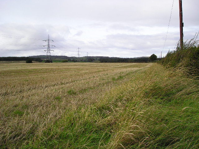
Craigends is a small village located in the historic county of Renfrewshire, Scotland. Situated approximately 8 miles west of the city of Glasgow, Craigends is nestled between the towns of Houston and Bridge of Weir. The village is set amidst picturesque rolling hills and offers a tranquil setting for its residents.

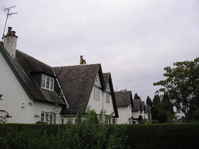
Craigends has a rich history dating back centuries, with evidence of early settlements in the area. The village is primarily residential, with a mix of traditional stone cottages and more modern houses. The community is tight-knit and close, fostering a strong sense of belonging among its residents.

The village is well-connected to surrounding areas by road, with the A761 road passing through Craigends. This allows for convenient commuting and easy access to nearby amenities. The village is also served by a regular bus service, providing further transportation options.

Despite its small size, Craigends offers a range of facilities and services for its residents. These include a primary school, a community center, and a local shop for everyday necessities. The village is also within close proximity to a variety of recreational activities, including golf courses and nature trails, making it an ideal location for outdoor enthusiasts.

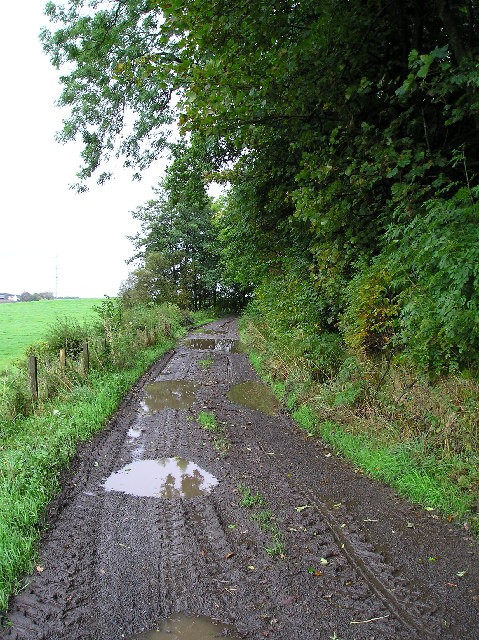
Craigends is surrounded by beautiful countryside and offers stunning views of the surrounding landscape. The nearby Gryffe Reservoir is a popular spot for fishing and walking, providing a peaceful retreat for nature lovers.

Overall, Craigends is a charming village that combines a sense of history with modern amenities, making it an attractive place to live for those seeking a peaceful and close-knit community.

If you have any feedback on the listing, please let us know in the comments section below.
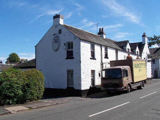
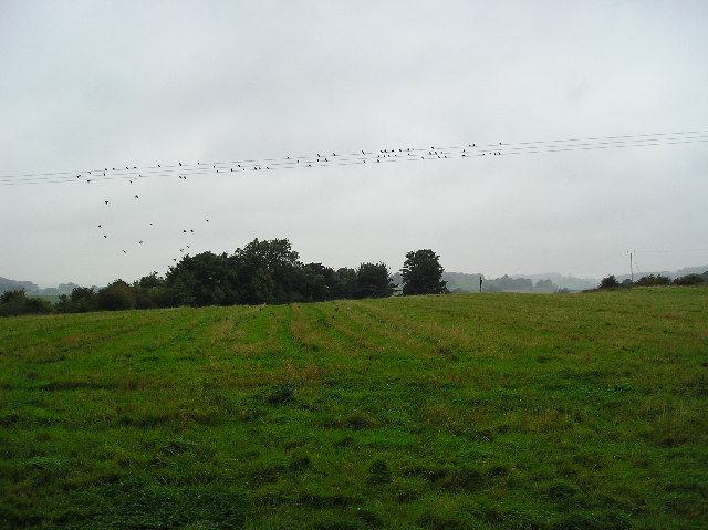
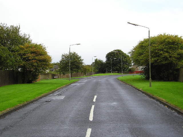
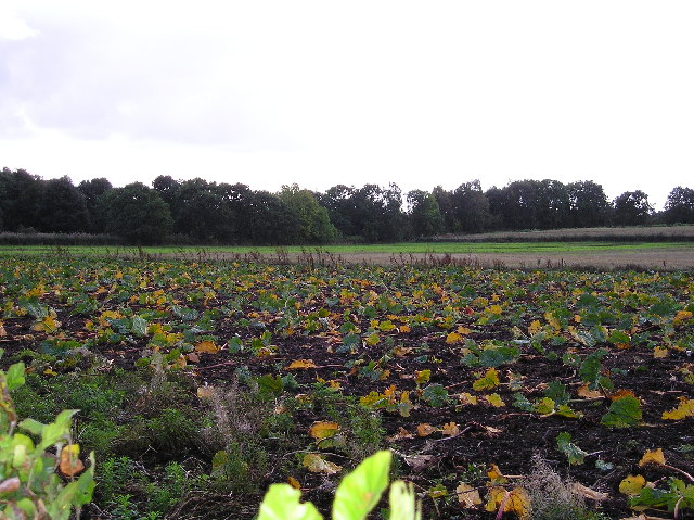
Craigends Images

Images are sourced within 2km of 55.861255/-4.529777 or Grid Reference NS4166. Thanks to Geograph Open Source API. All images are credited.

East Fulton Primary School, Linwood The car park and nursery building are in the foreground.
East Fulton Primary School, Linwood
The car park and nursery building are in the foreground.
The Houston brewing company Real ale on draught at the Fox and Hounds, same building.
The Houston brewing company
Real ale on draught at the Fox and Hounds, same building.
End of Summer Farmland note the old crop marks, and the Swallows (Maybe house Martins?) getting ready to head south.
End of Summer
Farmland note the old crop marks, and the Swallows (Maybe house Martins?) getting ready to head south.
Rising Ground Small hill Spot Height 24mtr to the west of Linwood Moss.
Rising Ground
Small hill Spot Height 24mtr to the west of Linwood Moss.
Linwoodmoss Wood Woodland area at the western edge of Linwoodmoss.
Linwoodmoss Wood
Woodland area at the western edge of Linwoodmoss.
Ardgryfe Crescent Road at a leafy housing estate at Houston Renfrewshire.The road taking its name in part from the River Gryfe which bounds the estate to the south.
Ardgryfe Crescent
Road at a leafy housing estate at Houston Renfrewshire.The road taking its name in part from the River Gryfe which bounds the estate to the south.
River Gryfe River Gryfe swollen by recent rain photographed from Crosslee Bridge.
River Gryfe
River Gryfe swollen by recent rain photographed from Crosslee Bridge.
Rhubarb Patch Rhubarb plants are perennial and are grown for their edible leaf stalks, although classed as a vegetable rhubarb is more usually eaten in desserts.
In this picture the plants are now dying back for the winter.
Rhubarb Patch
Rhubarb plants are perennial and are grown for their edible leaf stalks, although classed as a vegetable rhubarb is more usually eaten in desserts. In this picture the plants are now dying back for the winter.
Stubble Field of stubble at Turningshaw farm.
Stubble
Field of stubble at Turningshaw farm.
Farm track Farm Track bordering Chapel Farm and woodland surrounding Houston House.
Farm track
Farm Track bordering Chapel Farm and woodland surrounding Houston House.
Black & White Brookfield Village houses Renfrewshire.
Black & White
Brookfield Village houses Renfrewshire.
St Fillan's Primary School, Houston
Kaimhill Farm
Kaimhill Farm
Crosslee Road Passing under the dismantled Johnstone/Bridge of Weir railway line.
Crosslee Road
Passing under the dismantled Johnstone/Bridge of Weir railway line.
Winter Field
Winter Field
Kaimhill Farm Kilpatrick Hills in the distance.
Kaimhill Farm
Kilpatrick Hills in the distance.
Sports field, Linwood High School All weather surface. Approximately on the site of a triangulation pillar, long since destroyed.
Sports field, Linwood High School
All weather surface. Approximately on the site of a triangulation pillar, long since destroyed.
Concrete pillars, Linwood High School Near the school, what appears to be foundations for a temporary building.
Concrete pillars, Linwood High School
Near the school, what appears to be foundations for a temporary building.
Show me another place!

Craigends is located at Grid Ref: NS4166 (Lat: 55.861255, Lng: -4.529777)

Unitary Authority: Renfrewshire

Police Authority: Renfrewshire and Inverclyde

What 3 Words

///unwraps.joined.premiums. Near Houston, Renfrewshire

Nearby Locations

Craigends Crosslee Strip

Related Wikis

Craigends Yew

The Craigends Yew (NS4199566134) is an ancient European layering yew (Taxus baccata) growing next to the River Gryffe in what were the grounds of the Craigends...

Craigends

Craigends is a residential area in the civil parish of Houston and Killellan in Renfrewshire, Scotland lying south of the River Gryffe and on the banks...

Crosslee

Crosslee is a small village lying on the bank of the River Gryffe in the civil parish of Houston and Killellan, Renfrewshire, in Scotland. It lies around...

Houston House, Renfrewshire

Houston House is an 18th-century mansion, about 1 mile (1.6 km) north and east of Bridge of Weir, Renfrewshire, Scotland, north of the village of Houston...

Related Videos

spirit orb comes straight at the camera

spirit orb moves down the hallway straight towards the camera.

hallway orbs and dark shadow

busy with orb activity after hours of nothing being seen.

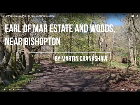
Earl of Mar Estate and Woods, near Bishopton Scotland

Distance: 4.54 miles (7.3km) Description: This walk takes you on a journey through the woodland and footpaths that run alongside ...

Nearby Amenities

Located within 500m of 55.861255,-4.529777
Turning Circle
Lat/Long: 55.859967/-4.5246745
Turning Circle
Lat/Long: 55.8618143/-4.530541
Turning Circle
Lat/Long: 55.8619949/-4.5316192
Turning Circle
Lat/Long: 55.8599443/-4.5232514
Turning Circle
Lat/Long: 55.8575642/-4.5258455
Turning Circle
Lat/Long: 55.8578141/-4.5258422
Post Box
Ref: PA6 254
Lat/Long: 55.8586095/-4.53366
Craigends
Place: quarter
Wikidata: Q5181664
Wikipedia: en:Craigends
Lat/Long: 55.8600587/-4.5291255
Bus Stop
Gryfebank Avenue
Bus: yes
Naptan AtcoCode: 61401000
Naptan NaptanCode: 73926232
Public Transport: platform
Lat/Long: 55.8610946/-4.5253741
Bus Stop
Gryfebank Avenue
Bus: yes
Naptan AtcoCode: 6140999
Naptan NaptanCode: 73925738
Public Transport: platform
Lat/Long: 55.8609971/-4.5251037
Bus Stop
Leman Drive
Bus: yes
Public Transport: platform
Lat/Long: 55.8599506/-4.53082
Bus Stop
Leman Drive
Bus: yes
Naptan AtcoCode: 61401001
Naptan NaptanCode: 73926298
Public Transport: platform
Lat/Long: 55.8599879/-4.5306183
Bus Stop
Piper Road
Bus: yes
Naptan AtcoCode: 61401004
Naptan NaptanCode: 73935245
Public Transport: platform
Lat/Long: 55.8583188/-4.5353798
Bus Stop
Forties Road
Bus: yes
Naptan AtcoCode: 61401003
Naptan NaptanCode: 73925783
Public Transport: platform
Lat/Long: 55.8582429/-4.5352403
The data included in this document is from www.openstreetmap.org. The data is made available under ODbL.

Have you been to Craigends?

Leave your review of Craigends below (or comments, questions and feedback).