Alrewas
Settlement in Staffordshire Lichfield
England
Alrewas
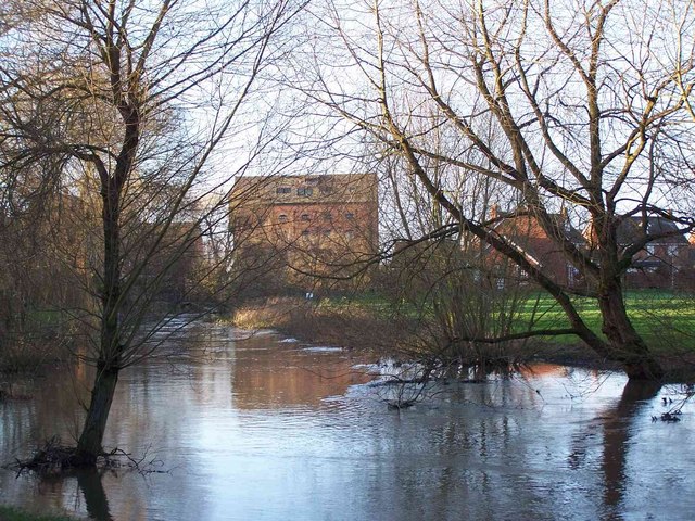
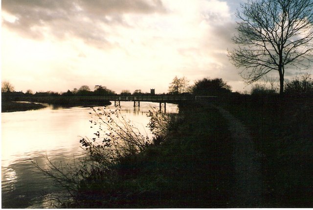
Alrewas is a small village located in Staffordshire, England. Situated approximately 8 miles southeast of Burton upon Trent and 5 miles north of Lichfield, it lies on the banks of the River Trent. With a population of around 2,500 residents, it is a close-knit community that offers a peaceful and picturesque setting.
The village is steeped in history, dating back to the Roman times, and is known for its rich heritage. Alrewas is home to the National Memorial Arboretum, a vast and stunning site dedicated to honoring the fallen servicemen and women of the British Armed Forces. The Arboretum spans over 150 acres and features beautiful landscaped grounds, thousands of trees, and various memorials, making it a popular destination for visitors from around the world.
In addition to its historical significance, Alrewas boasts a range of amenities and facilities. The village center has a selection of local shops, including a post office, convenience stores, and a few charming pubs. There is also a primary school, a community center, and a village hall, which hosts various events throughout the year.
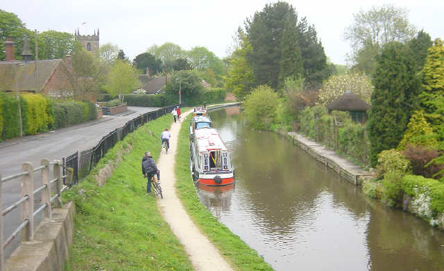
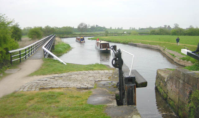
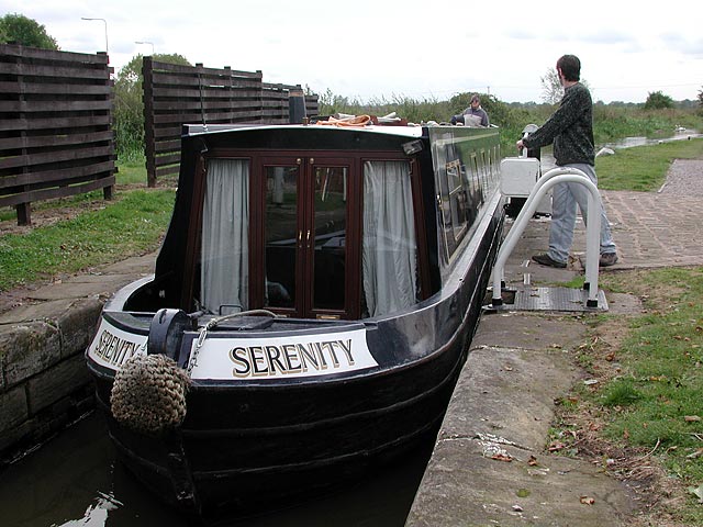
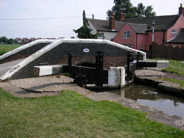
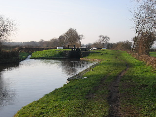
The surrounding countryside offers plenty of opportunities for outdoor activities, including walking, cycling, and fishing. The Trent and Mersey Canal runs nearby, providing picturesque waterside walks and boat trips. For those seeking a more urban experience, the nearby cities of Burton upon Trent and Lichfield offer a wider range of shopping, leisure, and entertainment options.
Overall, Alrewas is a quaint and historically significant village, offering a peaceful and friendly community atmosphere, while also providing easy access to the amenities of nearby towns and cities.
If you have any feedback on the listing, please let us know in the comments section below.
Alrewas Images
Images are sourced within 2km of 52.732726/-1.749377 or Grid Reference SK1715. Thanks to Geograph Open Source API. All images are credited.


Alrewas is located at Grid Ref: SK1715 (Lat: 52.732726, Lng: -1.749377)
Administrative County: Staffordshire
District: Lichfield
Police Authority: Staffordshire
What 3 Words
///mimed.triathlon.pupils. Near Alrewas, Staffordshire
Nearby Locations
Related Wikis

Alrewas
Alrewas ( AWL-ri-wəs) is a village and civil parish in the Lichfield District of Staffordshire, England. == Geography == The village is beside the River...

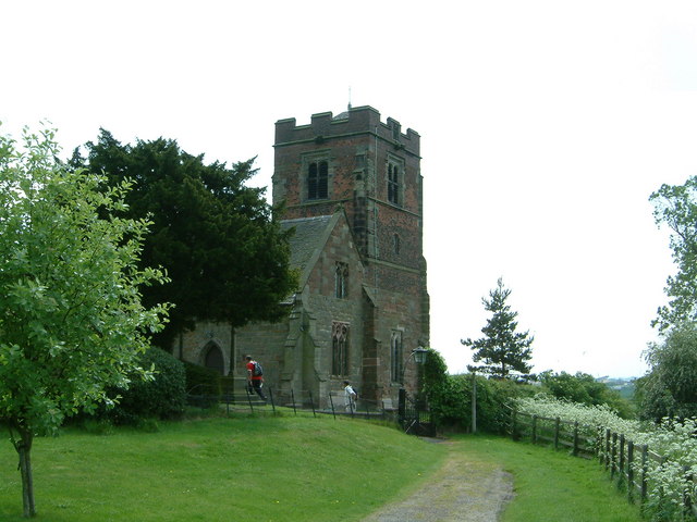
All Saints Church, Alrewas
All Saints Church, Alrewas is a parish church in the village of Alrewas, Staffordshire in England. The church is situated in the north west of the village...

Alrewas railway station
Alrewas railway station was a station on the South Staffordshire Railway, which served the village of Alrewas, Staffordshire. The station was located next...
Alrewas and Fradley
Alrewas and Fradley, was a large civil parish in the Lichfield district of Staffordshire, England. The parish included the villages of Alrewas, Fradley...

River Swarbourn
The River Swarbourn is a minor tributary of the River Trent that flows for 10 miles (16 km) in Staffordshire, England. == Geography == Its catchment lies...

Wychnor
Wychnor (or Wichnor, ) is a village and civil parish in Staffordshire, England. It is situated in the East Staffordshire local government district, adjoining...

National Memorial Arboretum
The National Memorial Arboretum is a British site of national remembrance at Alrewas, near Lichfield, Staffordshire. Its objective is to honour the fallen...
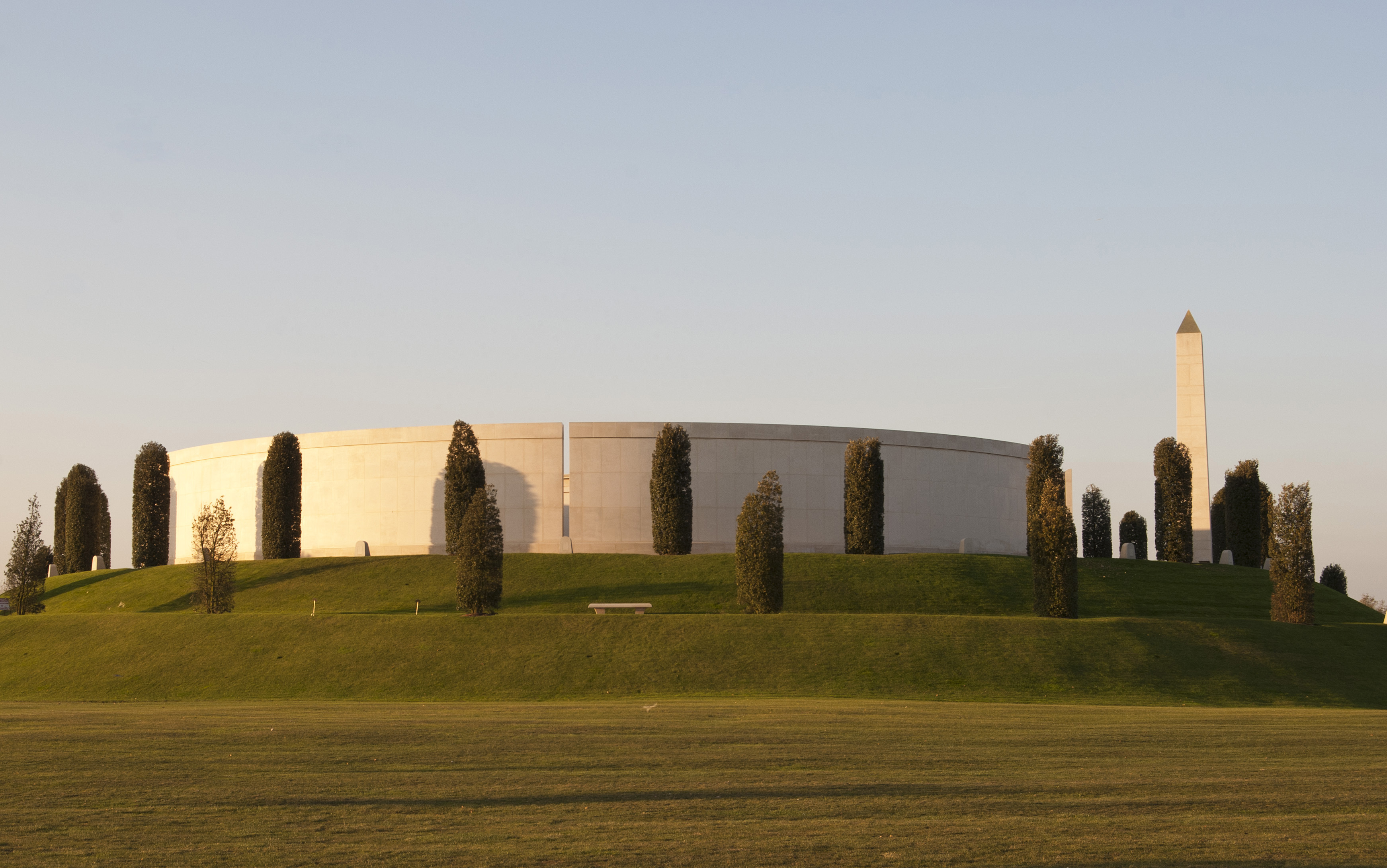
Armed Forces Memorial
The Armed Forces Memorial is a national memorial in the United Kingdom, dedicated to the 16,000 servicemen and women of the British Armed Forces killed...
Nearby Amenities
Located within 500m of 52.732726,-1.749377Have you been to Alrewas?
Leave your review of Alrewas below (or comments, questions and feedback).