Castlehill Plantation
Wood, Forest in Renfrewshire
Scotland
Castlehill Plantation
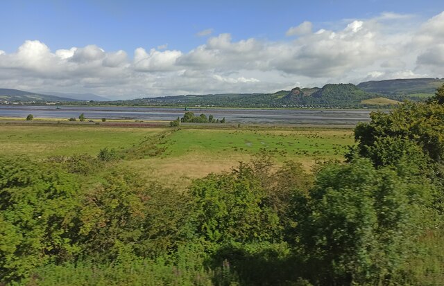
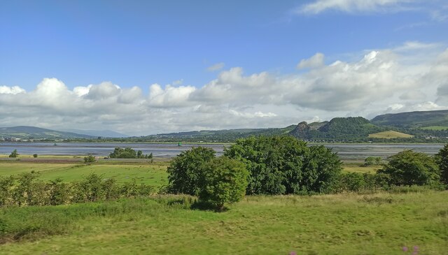
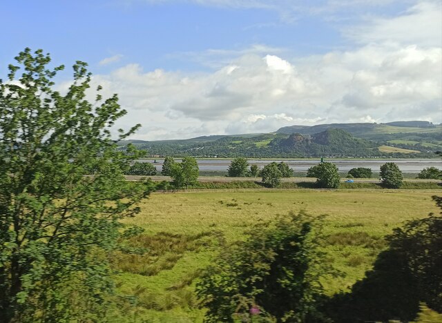
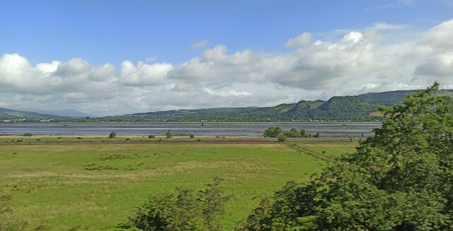
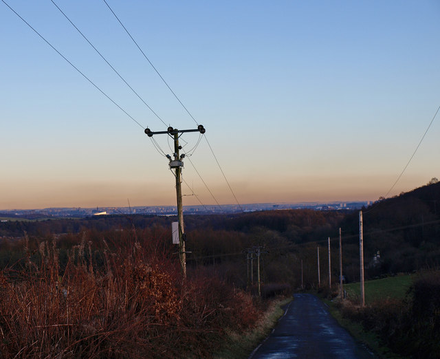
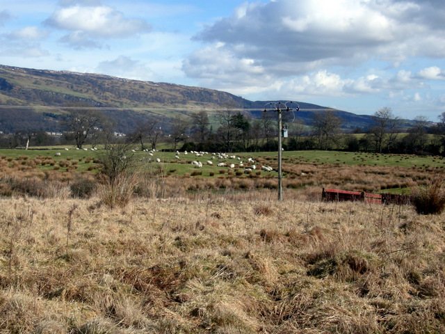
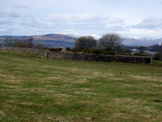
Castlehill Plantation is a lush woodland located in Renfrewshire, Scotland. Covering a vast area of approximately 500 acres, this plantation is renowned for its diverse and abundant flora and fauna. The plantation is situated on the Castlehill estate, which dates back to the 17th century and is steeped in history.
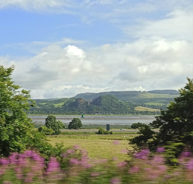
The woodland is primarily composed of native trees such as oak, birch, and holly, which create a picturesque landscape throughout the year. The dense canopy of these trees provides a habitat for a wide range of wildlife, including red squirrels, roe deer, and various bird species.
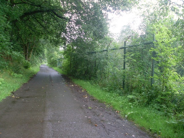
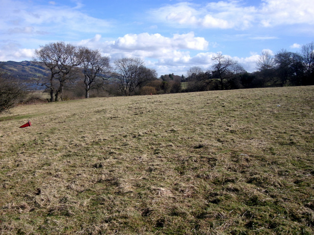
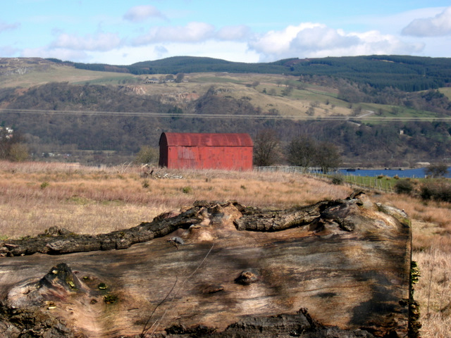
Castlehill Plantation offers a network of well-maintained walking trails, allowing visitors to explore the natural beauty of the woodland. These paths wind through the plantation, leading to scenic viewpoints and tranquil spots where visitors can relax and enjoy the peaceful surroundings. The plantation is particularly popular among nature enthusiasts, hikers, and photographers due to its breathtaking vistas and abundant wildlife.
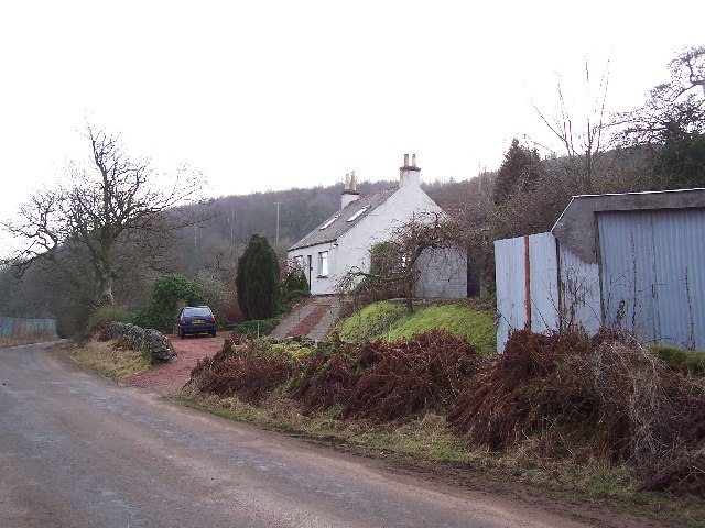
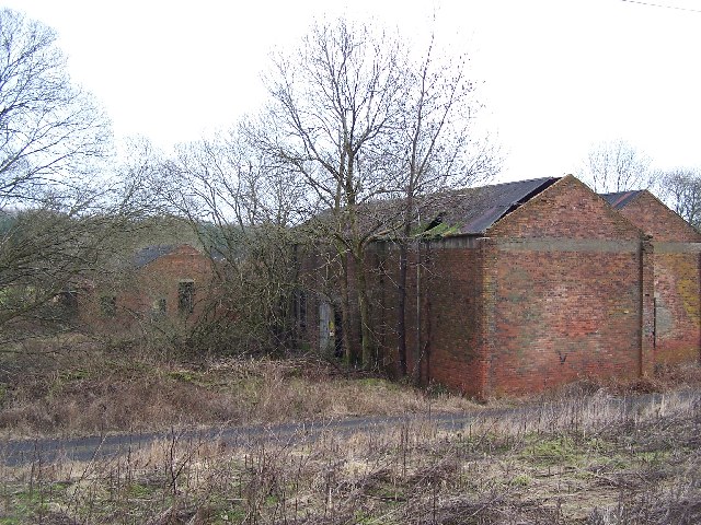
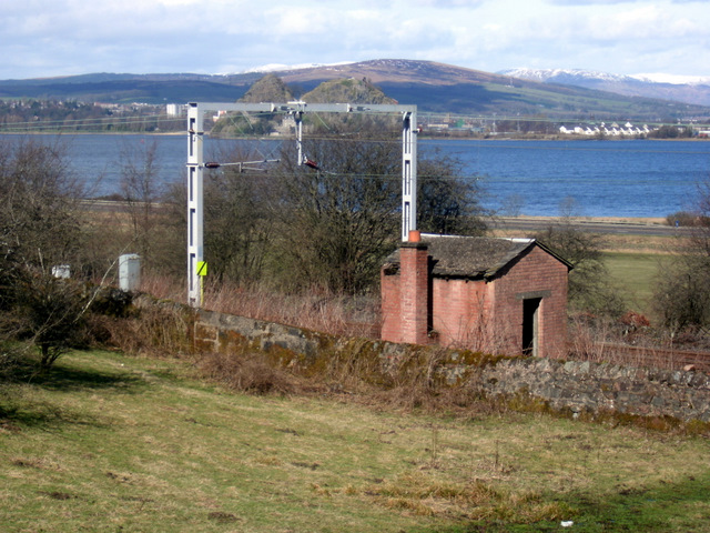
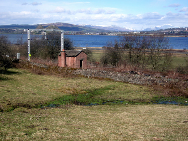
In addition to its natural beauty, Castlehill Plantation also holds historical significance. The estate features the ruins of Castlehill House, a grand mansion that was once the residence of the estate's owners. These ruins serve as a reminder of the area's rich past and attract history enthusiasts keen to learn about the estate's former glory.
Overall, Castlehill Plantation in Renfrewshire offers a captivating blend of natural beauty and historical significance. Its diverse woodland, scenic trails, and historic ruins make it a must-visit destination for those seeking a tranquil escape into nature.
If you have any feedback on the listing, please let us know in the comments section below.
Castlehill Plantation Images
Images are sourced within 2km of 55.911907/-4.5408424 or Grid Reference NS4171. Thanks to Geograph Open Source API. All images are credited.
Castlehill Plantation is located at Grid Ref: NS4171 (Lat: 55.911907, Lng: -4.5408424)
Unitary Authority: Renfrewshire
Police Authority: Renfrewshire and Inverclyde
What 3 Words
///printout.flipper.baseless. Near Bishopton, Renfrewshire
Nearby Locations
Related Wikis

Formakin House
Formakin House is an early 20th-century mansion and estate in Renfrewshire, Scotland. It is located 2 kilometres (1.2 mi) south of the Firth of Clyde,...
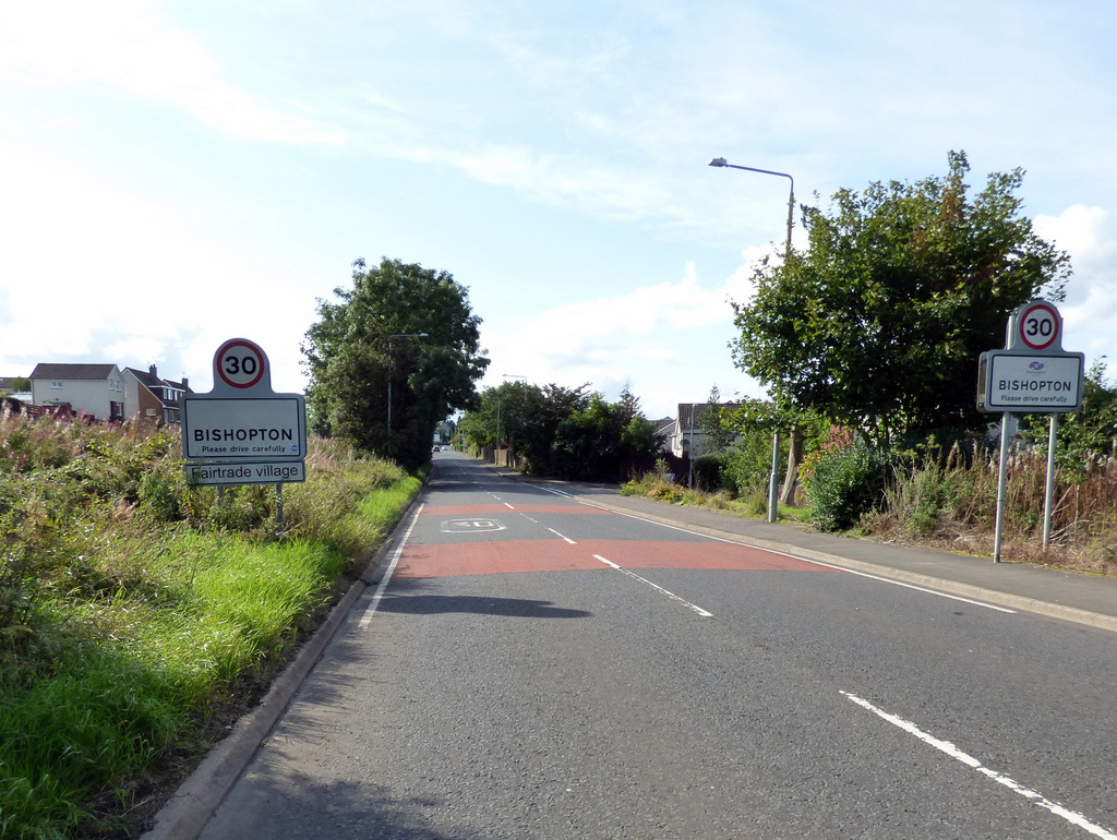
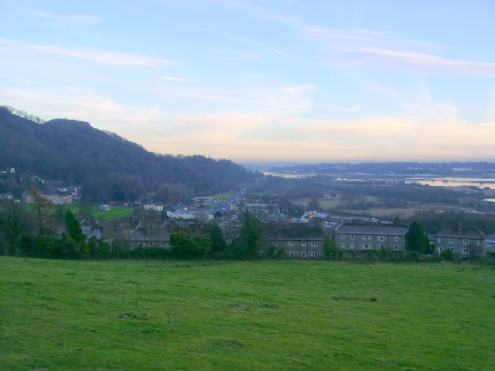
Bishopton, Renfrewshire
Bishopton (/bɪʃəptən/) (Scots: Bishoptoun; Scottish Gaelic: Baile an Easbaig) is a village in Renfrewshire, Scotland. It is located around 2 miles (3 km...
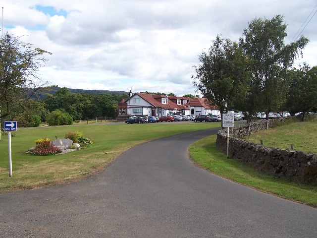
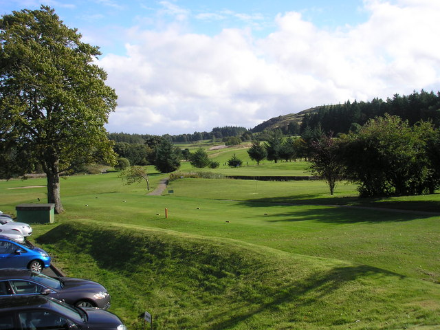
Erskine Golf Club
Erskine Golf Club is on the banks of the River Clyde at Erskine, Renfrewshire. It sits on the border between Erskine and Bishopton. The club takes its...

ROF Bishopton
The Royal Ordnance Factory was a WW2 Ministry of Supply Explosive Factory. It is sited adjacent to the village of Bishopton in Renfrewshire, Scotland....

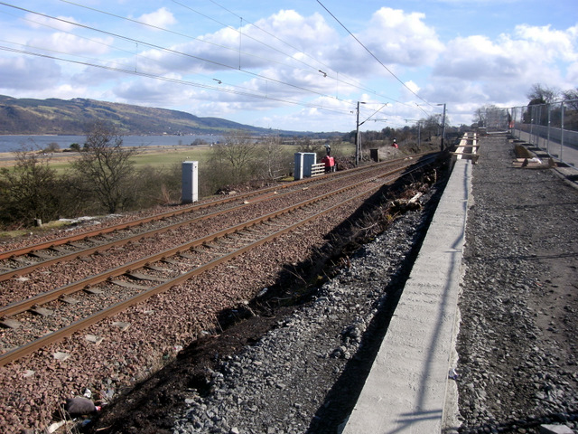
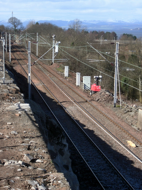
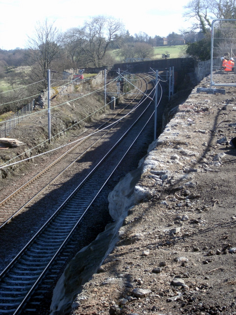
Bishopton railway station
Bishopton railway station serves the village of Bishopton in Renfrewshire, Scotland. The station is on the Inverclyde line, 13 miles (21 km) west of Glasgow...
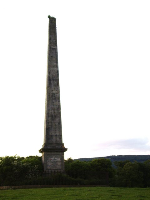
Blantyre Monument
Blantyre Monument is a commemorative stone in Erskine, Renfrewshire. The monument is in the obelisk style. It is situated adjacent to the B815 road; in...
Gleddoch House Hotel & Golf Club
Gleddoch House Hotel & Golf Club is situated in a 360-acre estate in Langbank, Renfrewshire. == Hotel == Gleddoch House is a Victorian mansion built by...
Milton, West Dunbartonshire
Milton (historically Milton of Colquhoun) is a village in West Dunbartonshire, Scotland. It lies about one mile (two kilometres) east of Dumbarton, on...
Nearby Amenities
Located within 500m of 55.911907,-4.5408424Have you been to Castlehill Plantation?
Leave your review of Castlehill Plantation below (or comments, questions and feedback).