Oakbelt Plantation

Wood, Forest in Renfrewshire

Scotland

Oakbelt Plantation

Minor road near Shovelboard Broom and gorse lining a minor road near Shovelboard. This is a quiet road, popular with cyclists.
Minor road near Shovelboard Credit: William Starkey

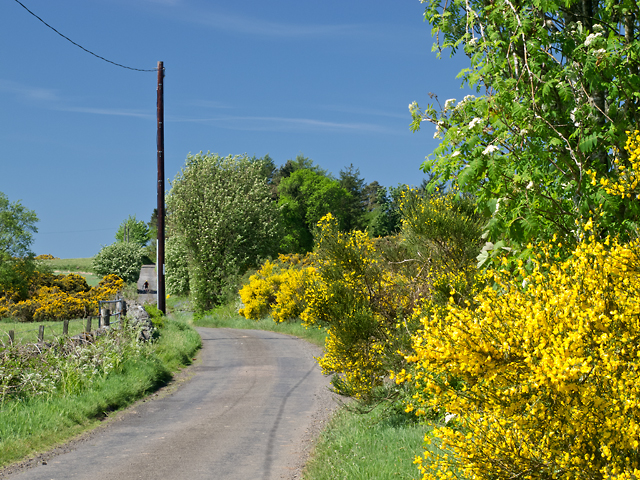
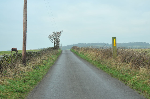
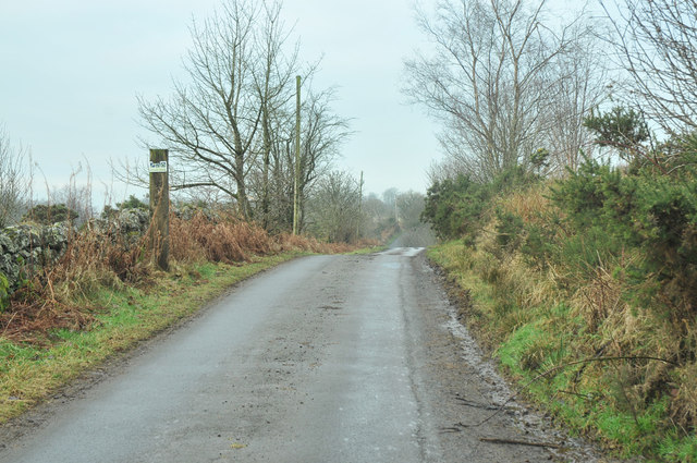
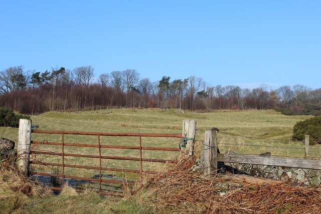
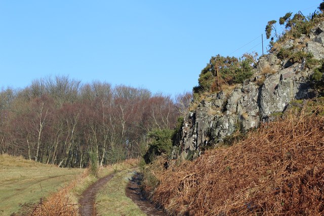
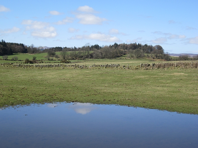
Oakbelt Plantation is a picturesque woodland located in Renfrewshire, Scotland. Spread across a vast area, this enchanting forest is known for its abundant oak trees, which lend the plantation its name. With its diverse flora and fauna, Oakbelt Plantation is a haven for nature enthusiasts and a popular destination for hikers, birdwatchers, and photographers.

The plantation boasts a rich history, dating back several centuries. It is believed that the first oak trees were planted here in the 16th century, and some of these majestic trees still stand tall, providing a sense of awe and wonder to visitors. The woodland is well-preserved and carefully managed, ensuring the conservation of the natural habitat and the protection of its inhabitants.

Walking through Oakbelt Plantation, visitors are greeted with a tranquil ambience and a sense of serenity. The forest floor is carpeted with a myriad of wildflowers, creating a vibrant and colorful setting. The sound of birdsong fills the air, as numerous species of birds have made this woodland their home. It is not uncommon to spot woodpeckers, owls, and red squirrels scurrying amongst the branches.

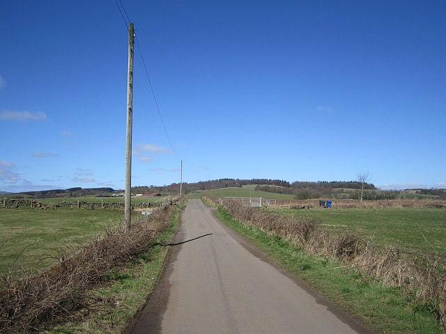
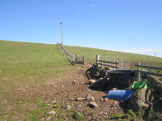
The plantation offers a network of well-maintained trails that wind through the forest, allowing visitors to explore its beauty at their own pace. These trails provide stunning views of the surrounding countryside and are suitable for all skill levels. Additionally, there are picnic areas and benches strategically placed throughout the plantation, offering visitors the opportunity to relax and immerse themselves in the tranquility of nature.

Oakbelt Plantation is a true gem in Renfrewshire, offering a peaceful retreat from the hustle and bustle of everyday life. Its natural beauty, rich history, and diverse ecosystem make it a must-visit destination for anyone seeking a connection with nature.

If you have any feedback on the listing, please let us know in the comments section below.

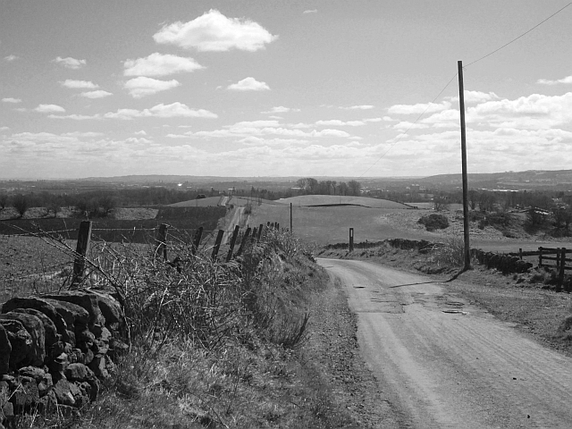
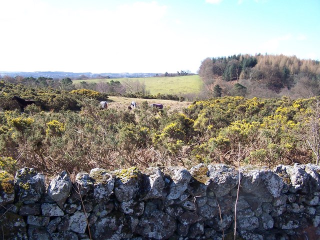
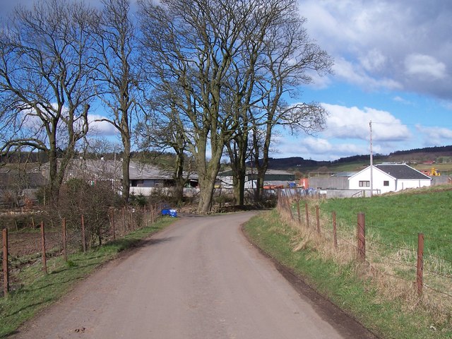
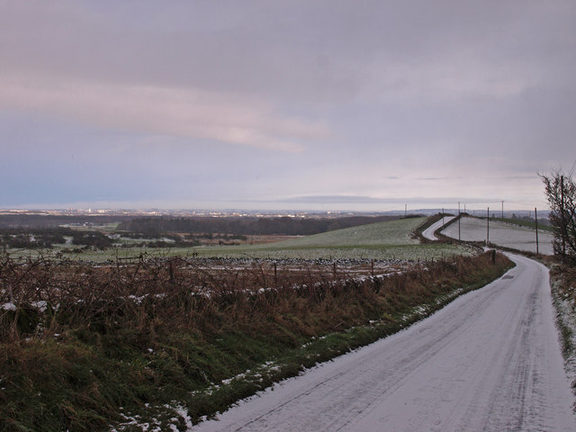
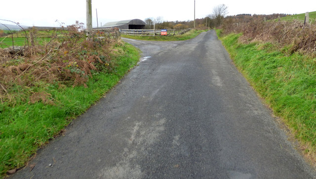
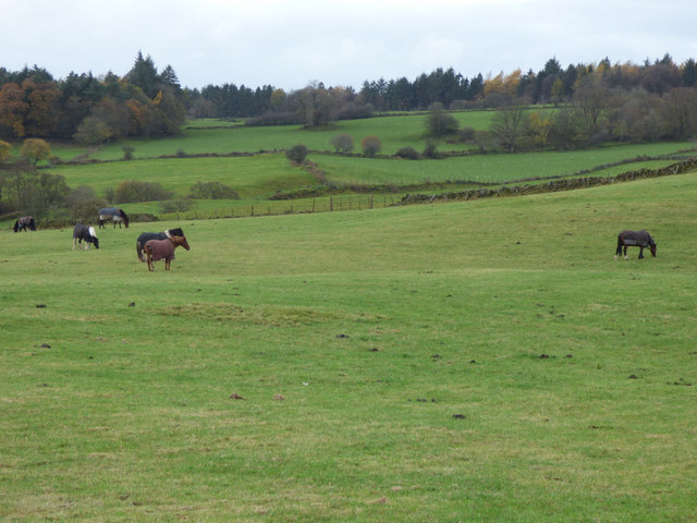
Oakbelt Plantation Images

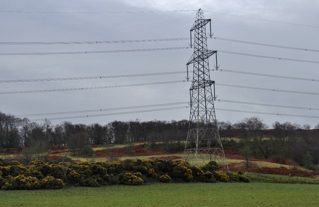
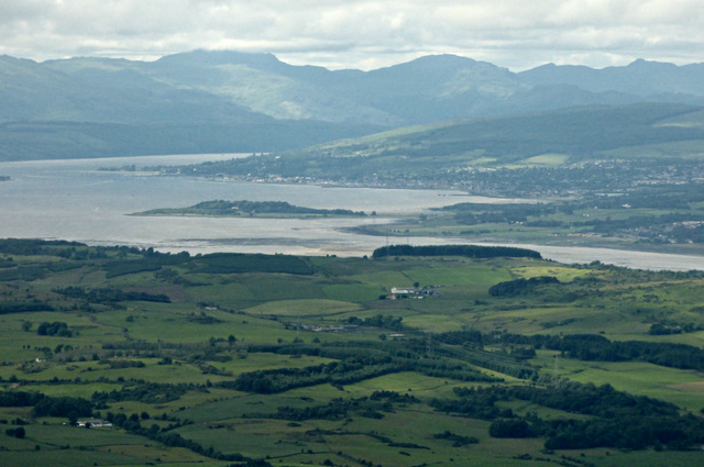
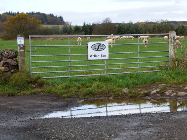
Images are sourced within 2km of 55.886708/-4.5410979 or Grid Reference NS4168. Thanks to Geograph Open Source API. All images are credited.

Minor road near Shovelboard Broom and gorse lining a minor road near Shovelboard. This is a quiet road, popular with cyclists.
Minor road near Shovelboard
Broom and gorse lining a minor road near Shovelboard. This is a quiet road, popular with cyclists.
Kilallan Road
Kilallan Road
Corsliehill Road
Corsliehill Road
Grassland & woodland north of Corsliehill Road
Disused quarry & woodland north of Corsliehill Road
Recent rainfall Flooded field of Kilallan Road.
Recent rainfall
Flooded field of Kilallan Road.
Kilallan Road A very scenic road between Houston and Kilmacolm, it has been designated a "leisure lane" with signs all along it promoting priority to non motorised traffic.
Kilallan Road
A very scenic road between Houston and Kilmacolm, it has been designated a "leisure lane" with signs all along it promoting priority to non motorised traffic.
New water trough Fields above Barfillan on Kilallan Lane.
New water trough
Fields above Barfillan on Kilallan Lane.
Kilallan Road Downhill view from Barfillan towards Houston.
Kilallan Road
Downhill view from Barfillan towards Houston.
Horses for gorses Wraes Woods on the right
Horses for gorses
Wraes Woods on the right
Waterlea Farm
Waterlea Farm
Kilallan Road, Houston Glasgow in the distance.
Kilallan Road, Houston
Glasgow in the distance.
Pylon by a bank of whin at Haddockston The fields are rising towards Corsliehills Wood.
Pylon by a bank of whin at Haddockston
The fields are rising towards Corsliehills Wood.
Renfrewshire and the Firth of Clyde from the air Farmland between Kilmacolm and Langbank, with Ardmore peninsula, Helensburgh and the Gareloch beyond. Seen shortly after take-off from Glasgow Airport.
Renfrewshire and the Firth of Clyde from the air
Farmland between Kilmacolm and Langbank, with Ardmore peninsula, Helensburgh and the Gareloch beyond. Seen shortly after take-off from Glasgow Airport.
Wellees Farm road The road to Wellees Farm, at Kilallan Road. See also <a href="https://www.geograph.org.uk/photo/5969994">NS3967 : Wellees Farm sign</a>.
Wellees Farm road
The road to Wellees Farm, at Kilallan Road. See also NS3967 : Wellees Farm sign.
Wellees Farm sign At the start of the road to the farm off Kilallan Road. See also <a href="https://www.geograph.org.uk/photo/5969988">NS3967 : Wellees Farm road</a>.
Wellees Farm sign
At the start of the road to the farm off Kilallan Road. See also NS3967 : Wellees Farm road.
Kilallan Road Looking up the hill towards Barfillan Farm.
Kilallan Road
Looking up the hill towards Barfillan Farm.
Horses near Waterlea Farm Viewed from Kilallan Road.
Horses near Waterlea Farm
Viewed from Kilallan Road.
Show me another place!

Oakbelt Plantation is located at Grid Ref: NS4168 (Lat: 55.886708, Lng: -4.5410979)

Unitary Authority: Renfrewshire

Police Authority: Renfrewshire and Inverclyde

What 3 Words

///cosmic.sprinter.found. Near Houston, Renfrewshire

Related Wikis

St Peter's Well, Houston

St Peter's Well is a rare surviving example of a holy well house or covered well that was built over the waters of a spring in a field below Greenhill...

Houston House, Renfrewshire

Houston House is an 18th-century mansion, about 1 mile (1.6 km) north and east of Bridge of Weir, Renfrewshire, Scotland, north of the village of Houston...

Houston and Killellan

Houston and Killellan is a civil parish in the county and council area of Renfrewshire in the west central Lowlands of Scotland. It contains the villages...

Formakin House

Formakin House is an early 20th-century mansion and estate in Renfrewshire, Scotland. It is located 2 kilometres (1.2 mi) south of the Firth of Clyde,...

Nearby Amenities

Located within 500m of 55.886708,-4.5410979
Power: tower
Source: Bing
Lat/Long: 55.8832548/-4.5439036
Power: tower
Source: Bing
Lat/Long: 55.8901607/-4.544485
Power: tower
Source: Bing
Lat/Long: 55.8857172/-4.5441287
Power: pole
Lat/Long: 55.884516/-4.5478847
Power: pole
Lat/Long: 55.8839026/-4.5467098
Power: pole
Lat/Long: 55.8833441/-4.5456078
Power: pole
Lat/Long: 55.882643/-4.5442724
Power: pole
Lat/Long: 55.8837869/-4.5468743
The data included in this document is from www.openstreetmap.org. The data is made available under ODbL.

Have you been to Oakbelt Plantation?

Leave your review of Oakbelt Plantation below (or comments, questions and feedback).