Canwick
Settlement in Lincolnshire North Kesteven
England
Canwick
The requested URL returned error: 429 Too Many Requests
If you have any feedback on the listing, please let us know in the comments section below.
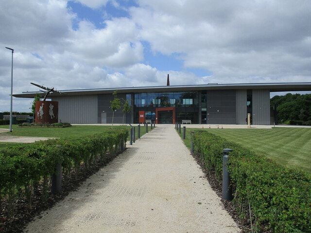
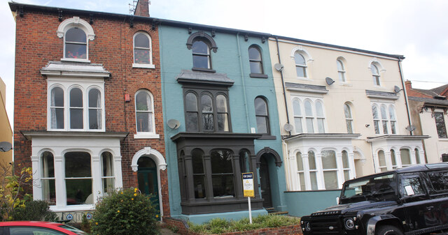
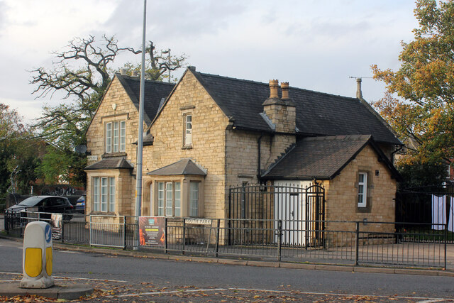
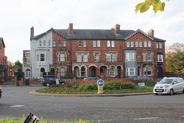
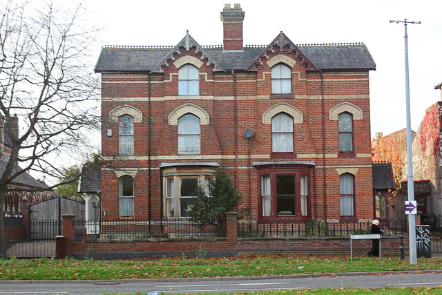
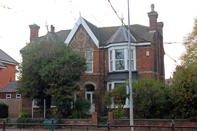
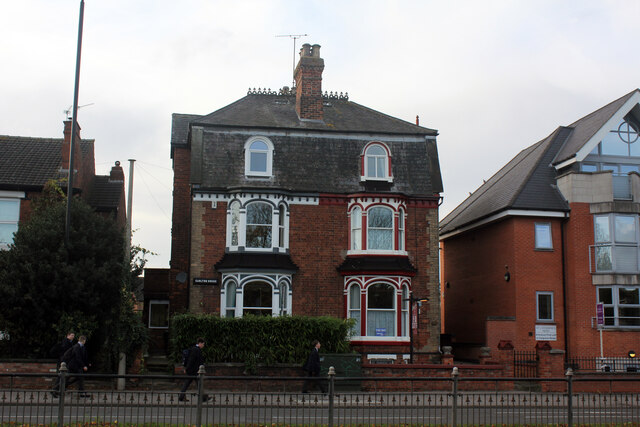
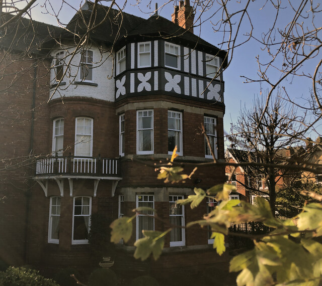
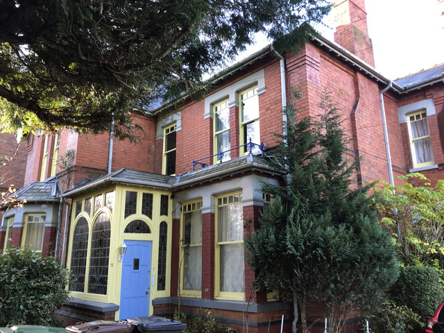
Canwick Images
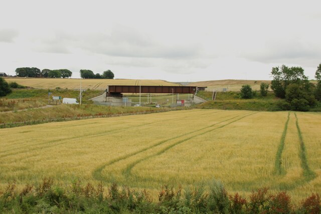
Images are sourced within 2km of 53.21364/-0.522755 or Grid Reference SK9869. Thanks to Geograph Open Source API. All images are credited.


Canwick is located at Grid Ref: SK9869 (Lat: 53.21364, Lng: -0.522755)
Division: Parts of Kesteven
Administrative County: Lincolnshire
District: North Kesteven
Police Authority: Lincolnshire
What 3 Words
///glory.string.soon. Near Lincoln, Lincolnshire
Nearby Locations
Related Wikis

Canwick
Canwick is a village and civil parish in the North Kesteven district of Lincolnshire, England. The population of the civil parish at the 2011 census was...
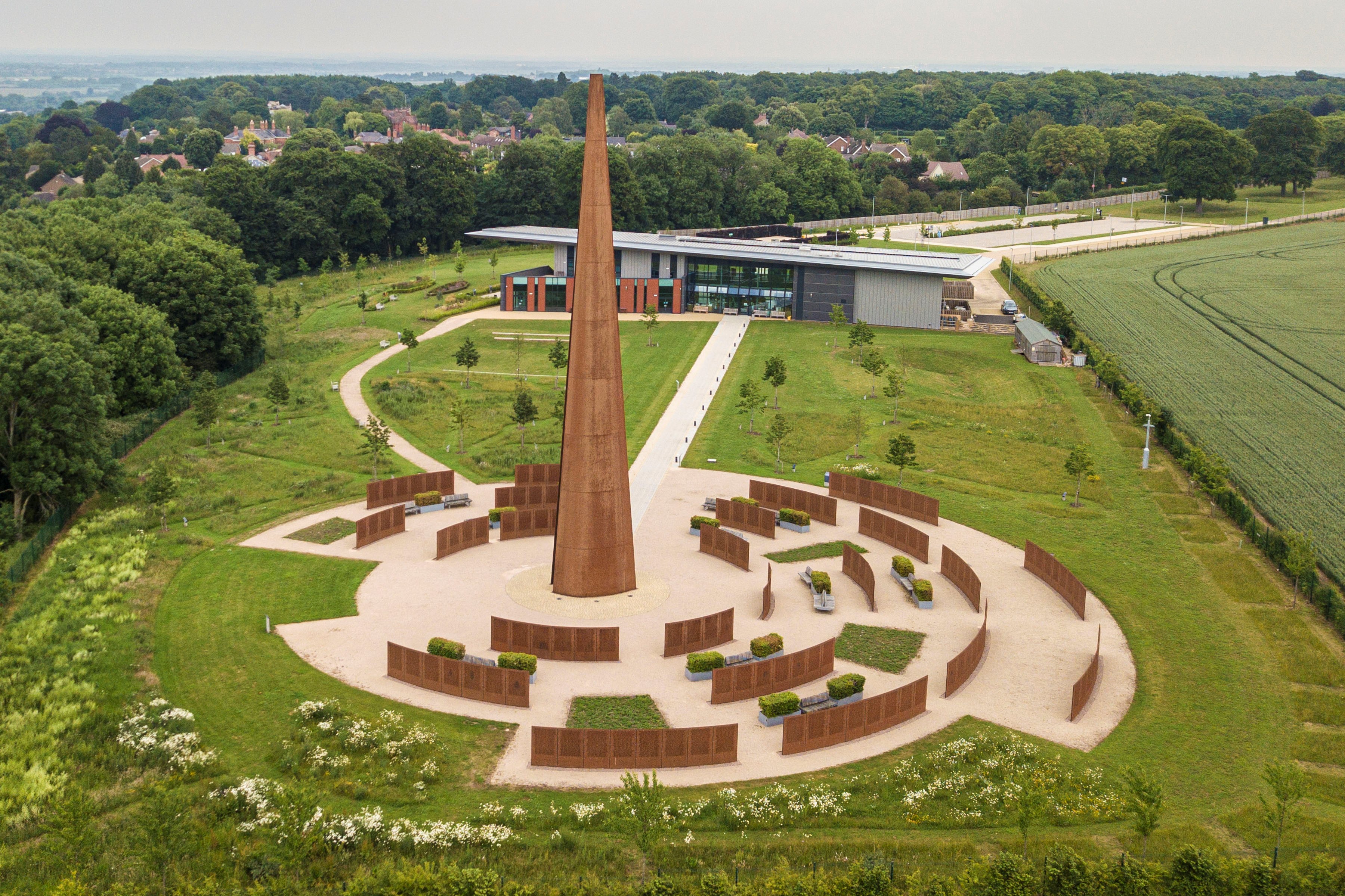
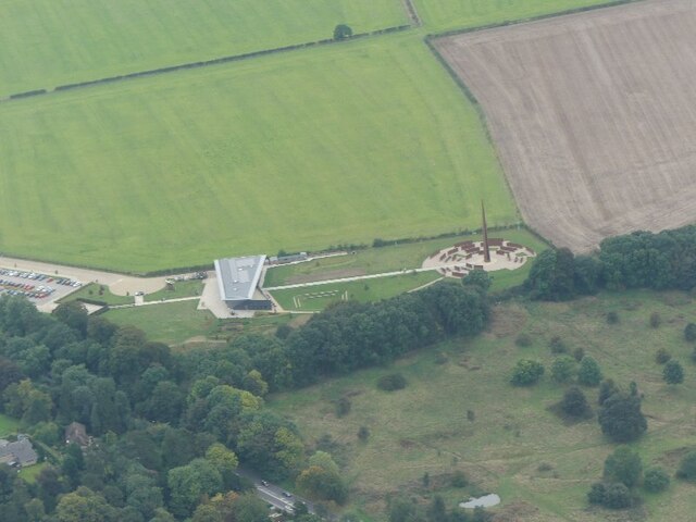
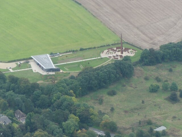
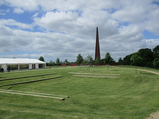
International Bomber Command Centre
The International Bomber Command Centre (IBCC) is a memorial and interpretation centre telling the story of RAF Bomber Command overlooking the city of...

Sincil Bank
Sincil Bank Stadium, known for sponsorship reasons as LNER Stadium, is a football stadium in Lincoln, England which has been the home of Lincoln City since...

Central Lincolnshire
Central Lincolnshire is the name given to a region of Lincolnshire in the East Midlands, England. The area covers the districts of North Kesteven and West...
Nearby Amenities
Located within 500m of 53.21364,-0.522755Have you been to Canwick?
Leave your review of Canwick below (or comments, questions and feedback).