Ardyle Wood
Wood, Forest in Stirlingshire
Scotland
Ardyle Wood

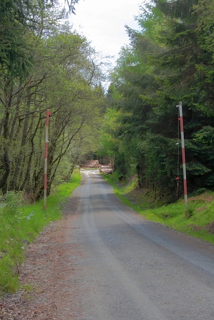
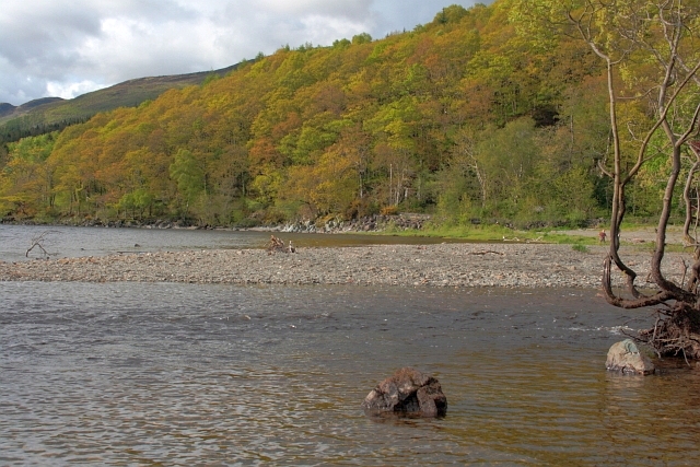
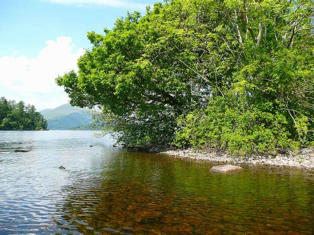
Ardyle Wood is a picturesque woodland located in Stirlingshire, a county in central Scotland. Covering an area of approximately 50 hectares, the wood is a haven for nature enthusiasts and those seeking a tranquil escape from the bustling city life.
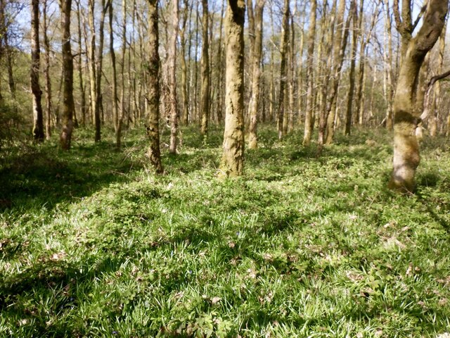
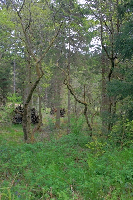
The wood is primarily composed of native broadleaf trees such as oak, birch, and ash, which create a dense canopy that filters sunlight, creating a cool and shaded environment. The forest floor is adorned with a rich carpet of ferns, wildflowers, and mosses, adding to the wood's enchanting beauty.
With its diverse range of habitats, Ardyle Wood is home to a variety of wildlife. Birdwatchers can spot species such as woodpeckers, tits, and warblers, while lucky visitors may catch a glimpse of red squirrels darting through the treetops. The wood also supports a healthy population of deer, adding to its natural charm.
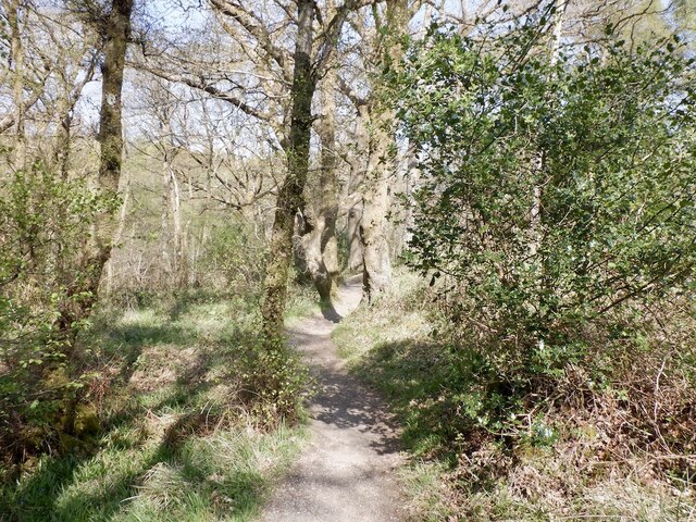
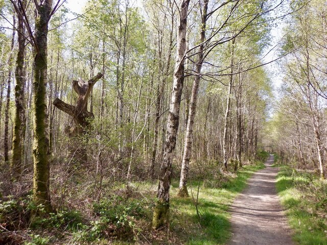
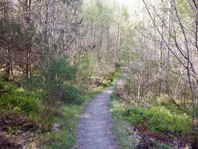
For outdoor enthusiasts, Ardyle Wood offers several walking trails that wind through its ancient trees. These pathways are well-maintained and provide an opportunity to explore the wood's hidden gems. Visitors can also find secluded picnic spots where they can relax and soak in the serene atmosphere.
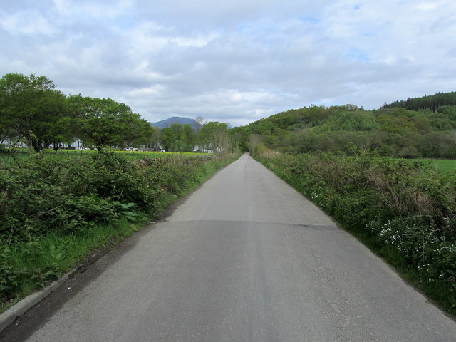
Ardyle Wood is easily accessible, with a car park located nearby and clear signage directing visitors to the entrance. The wood is open year-round, allowing visitors to witness the changing seasons and experience its unique beauty in all its glory. Whether you are a nature lover, a photographer, or simply seeking a peaceful retreat, Ardyle Wood is a must-visit destination in Stirlingshire.
If you have any feedback on the listing, please let us know in the comments section below.
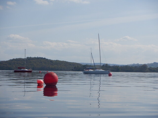
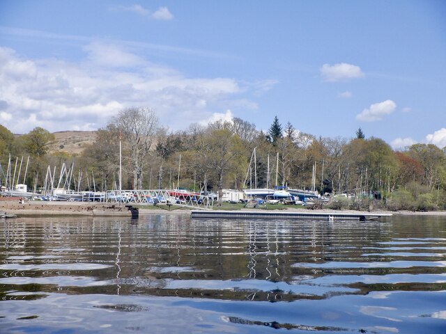
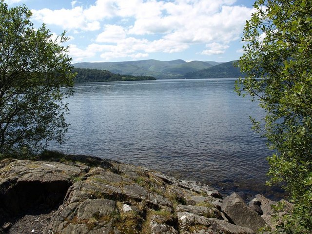
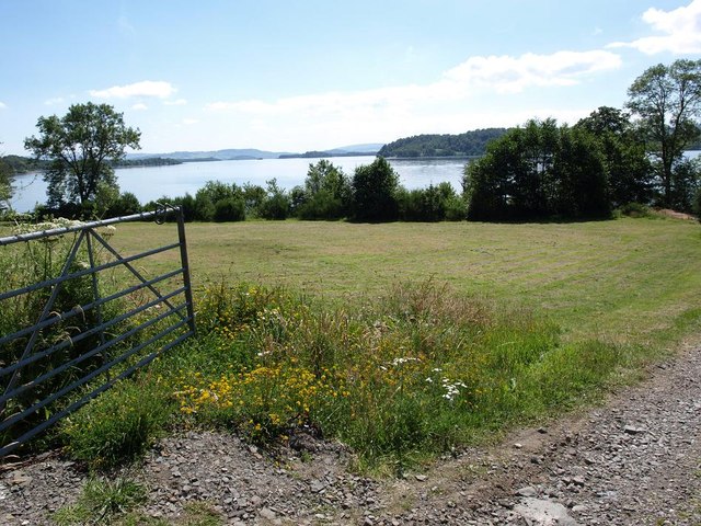
Ardyle Wood Images
Images are sourced within 2km of 56.114181/-4.5768312 or Grid Reference NS3994. Thanks to Geograph Open Source API. All images are credited.

Ardyle Wood is located at Grid Ref: NS3994 (Lat: 56.114181, Lng: -4.5768312)
Unitary Authority: Stirling
Police Authority: Forth Valley
What 3 Words
///political.gradually.muddle. Near Balloch, West Dunbartonshire
Nearby Locations
Related Wikis

Milarrochy Bay
Milarrochy Bay is a bay on Loch Lomond, in southern Scotland. It is near the village of Balmaha. Known locally as Bakey Bay, due to the rounded mounds...

Inchlonaig
Inchlonaig is an island in Loch Lomond in Scotland. == Geography and geology == Inchlonaig is the most northerly of the larger islands in the Loch Lomond...
Ceardach
Ceardach is a small uninhabited island in Loch Lomond, in west central Scotland. The island lies east of Bucinch and north of Inchcruin. The name Ceardach...

Bucinch
Bucinch or Buc-Innis (Scottish Gaelic: "Buck Island" or "Male Goat Island") is a small island in Loch Lomond, in west central Scotland. The heavily wooded...

Inchcruin
Inchcruin is an island in Loch Lomond in Scotland. It is not to be confused with Creinch, which has occasionally been referred to as "Inchcroin". ��2...

Ross Isles
The Ross Isles are two small islands in Loch Lomond, in west central Scotland. They lie opposite Luss, and are named after the promontory on the east shore...

Inchfad
Inchfad (Scottish Gaelic: Innis Fada, "long island") is an island in the south east of Loch Lomond in Scotland. Inchfad is 1.35 km (0.84 mi) long and forty...

Fraoch Eilean, Loch Lomond
Fraoch Eilean is a small island in Loch Lomond, Scotland. Its name means "heather island" in Scottish Gaelic. It is near Luss on the mainland, and according...
Related Videos

West Highland Way | Hiking 96 miles in 4 days | Day 2 Sallochy Campsite - Strathfillan
In April 2023 I solo hiked 96miles / 155km along the West Highland Way in 4 days (3 nights camping). Day 1 - Milngavie to ...
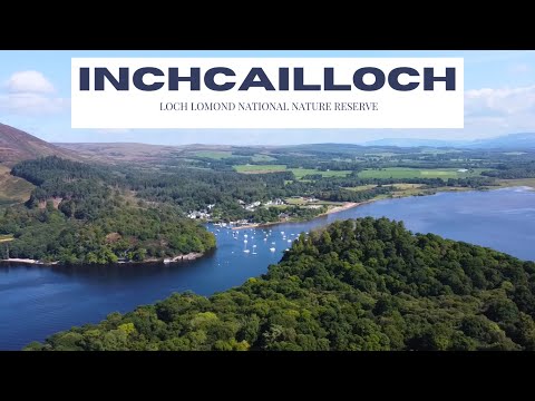
Exploring Inchcailloch Island: A Hidden Gem in Loch Lomond and the Trossachs National Park
Inchcailloch Island is a hidden gem nestled within Loch Lomond & The Trossachs National Park, Scotland. This island boasts of ...
Nearby Amenities
Located within 500m of 56.114181,-4.5768312Have you been to Ardyle Wood?
Leave your review of Ardyle Wood below (or comments, questions and feedback).