Badach Cragan

Wood, Forest in Stirlingshire

Scotland

Badach Cragan

Woodland near Milarochy
Woodland near Milarochy Credit: Richard Webb

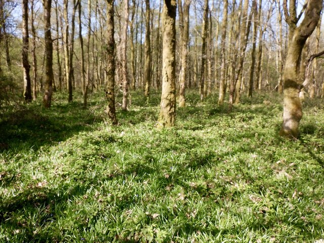
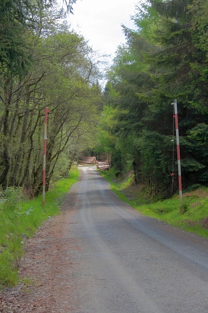
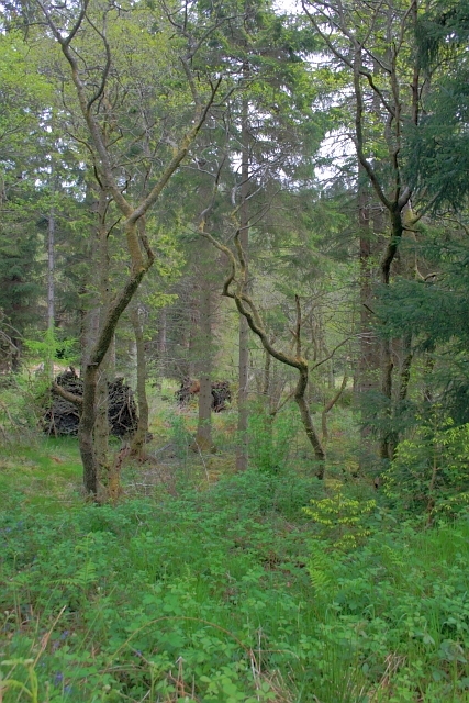
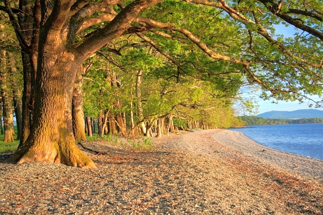
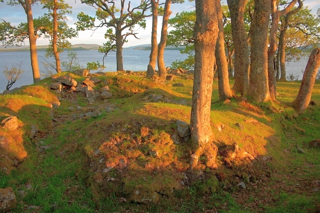
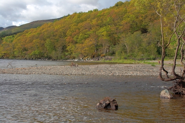
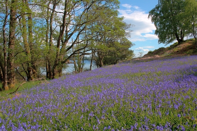
Badach Cragan is a picturesque woodland area located in Stirlingshire, Scotland. Covering an expansive area of approximately 150 acres, it is known for its stunning natural beauty and abundant wildlife. The woodland is a mix of native and non-native tree species, including oak, beech, birch, and pine, creating a diverse and vibrant ecosystem.

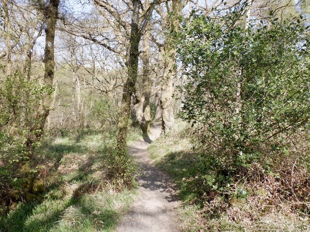
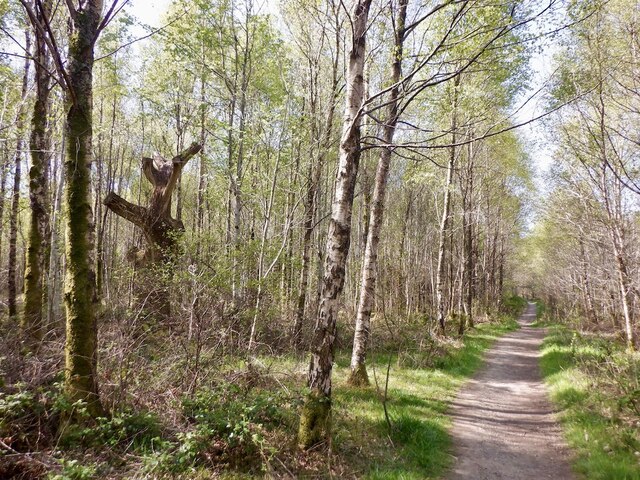
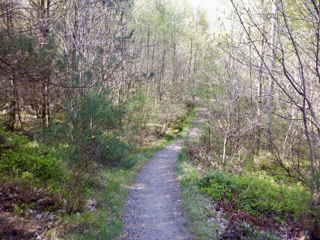
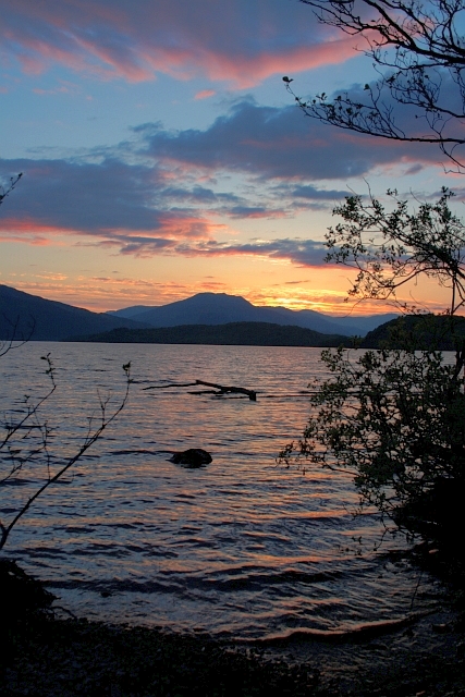
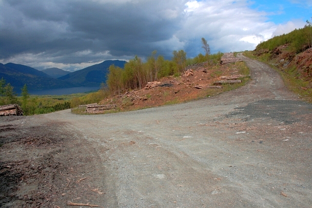
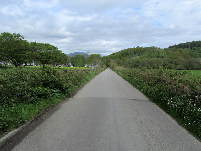
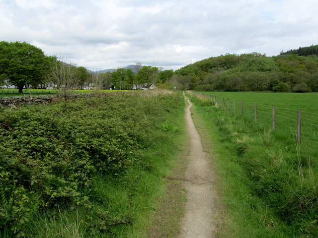
Situated on the southern slopes of the Ochil Hills, Badach Cragan offers breathtaking views of the surrounding countryside. The woodland is intersected by a network of well-maintained trails that allow visitors to explore its enchanting beauty. These trails cater to various levels of fitness, from leisurely strolls to more challenging hikes.

Badach Cragan is also home to a rich variety of wildlife. Bird enthusiasts can spot a wide range of species, including woodpeckers, owls, and various songbirds. The woodland is also inhabited by red squirrels, badgers, and deer, making it a haven for nature lovers and wildlife photographers.

Visitors to Badach Cragan can also enjoy recreational activities such as picnicking, camping, and nature walks. The tranquil surroundings provide the perfect setting for relaxation and escape from the hustle and bustle of everyday life.

Managed by the local authorities, Badach Cragan is committed to preserving its natural beauty and protecting its diverse ecosystem. With its stunning landscapes, abundant wildlife, and recreational opportunities, Badach Cragan is a true gem of Stirlingshire and a must-visit destination for nature enthusiasts.

If you have any feedback on the listing, please let us know in the comments section below.

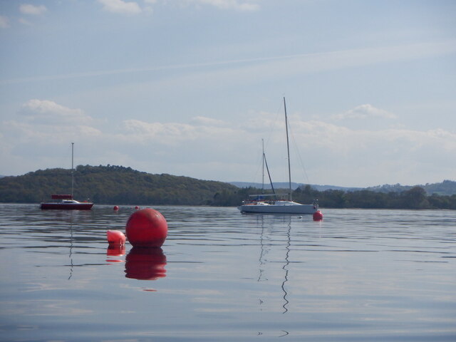
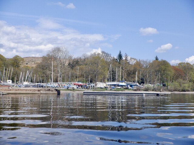
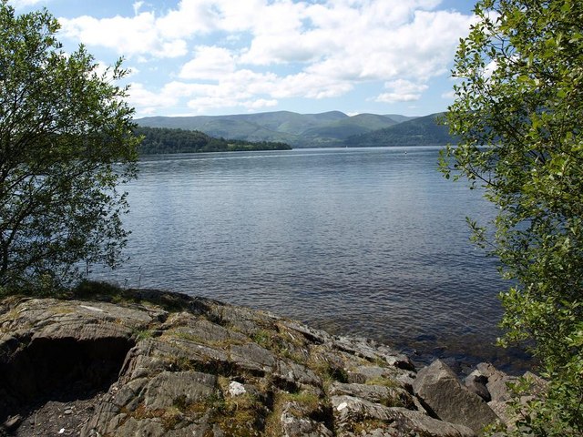
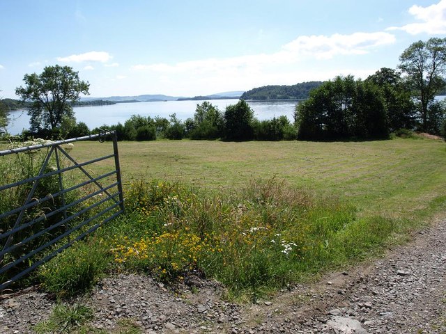
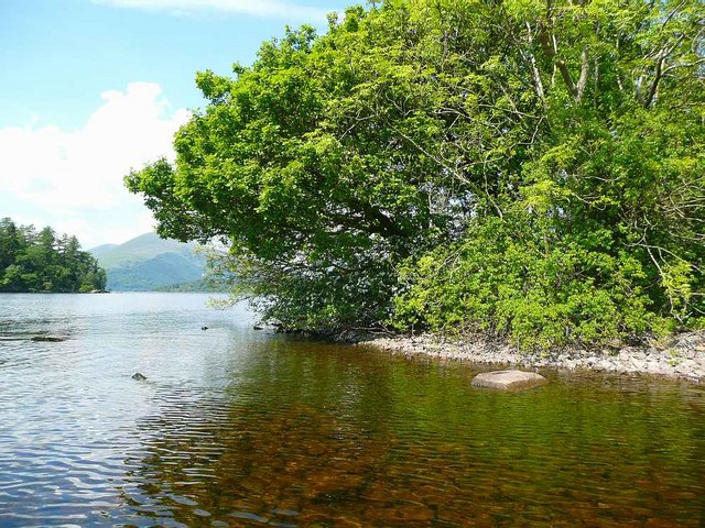
Badach Cragan Images

Images are sourced within 2km of 56.114705/-4.584009 or Grid Reference NS3994. Thanks to Geograph Open Source API. All images are credited.

Woodland near Milarochy
West Highland Way north of Milarrochy
Lag an Amair Wood The path is used by the West Highland Way.
Lag an Amair Wood
The path is used by the West Highland Way.
West Highland Way, Cnoc Buidhe Birch wood growing on the site of a clearfelled plantation.
West Highland Way, Cnoc Buidhe
Birch wood growing on the site of a clearfelled plantation.
Mooring, Loch Lomond Sailing Club
Loch Lomond Sailing Club Rubbish conditions for them today - but great for fans of mirror calm water like myself.
The last day of anticyclonic weather in April 2022.
Loch Lomond Sailing Club
Rubbish conditions for them today - but great for fans of mirror calm water like myself. The last day of anticyclonic weather in April 2022.
Rocky shore of Loch Lomond
Small lochside meadow by entrance to Sallochy
Forest Road, Sallochy Forest
Dallurgan Burn, Sallochy Forest
Lochshore at Strathcashell
Strathcashell  Point Probably an Iron Age fort.
Strathcashell Point
Probably an Iron Age fort.
Lochshore at Cashell
Loch Lomond Sunset From Cashell.
Loch Lomond Sunset
From Cashell.
Forest Road Junction
Bluebells, Inchlonaig
Road near Cashell Farm Part of the road that runs on the eastern side of Loch Lomond as far as Rowardennan
Road near Cashell Farm
Part of the road that runs on the eastern side of Loch Lomond as far as Rowardennan
West Highland Way near Cashell Farm The National Trail follows the road on a parallel route, separated by a hedge.
West Highland Way near Cashell Farm
The National Trail follows the road on a parallel route, separated by a hedge.
Show me another place!

Badach Cragan is located at Grid Ref: NS3994 (Lat: 56.114705, Lng: -4.584009)

Unitary Authority: Stirling

Police Authority: Forth Valley

What 3 Words

///sailor.opened.amplified. Near Balloch, West Dunbartonshire

Nearby Locations

Badach Cragan Ardyle Wood

Related Wikis

Inchlonaig

Inchlonaig is an island in Loch Lomond in Scotland. == Geography and geology == Inchlonaig is the most northerly of the larger islands in the Loch Lomond...

Milarrochy Bay

Milarrochy Bay is a bay on Loch Lomond, in southern Scotland. It is near the village of Balmaha. Known locally as Bakey Bay, due to the rounded mounds...

Ceardach

Ceardach is a small uninhabited island in Loch Lomond, in west central Scotland. The island lies east of Bucinch and north of Inchcruin. The name Ceardach...

Bucinch

Bucinch or Buc-Innis (Scottish Gaelic: "Buck Island" or "Male Goat Island") is a small island in Loch Lomond, in west central Scotland. The heavily wooded...

Nearby Amenities

Located within 500m of 56.114705,-4.584009
Cashel Camping & Caravan Park Forest Holidays
Caravans: yes
Tourism: camp_site
Website: http://camping.forestholidays.co.uk/camping_and_caravanning/our_sites__locations/scotland/cashel.aspx
Lat/Long: 56.1125629/-4.5820056
Cashell Glen
Place: locality
Lat/Long: 56.1133813/-4.5805445
Power: pole
Lat/Long: 56.1188474/-4.586005
Power: pole
Lat/Long: 56.1182536/-4.5851427
Power: pole
Lat/Long: 56.1177014/-4.5843371
Power: pole
Lat/Long: 56.1171458/-4.5835097
Power: pole
Lat/Long: 56.1166302/-4.5827817
Power: pole
Lat/Long: 56.1160347/-4.5819304
Power: pole
Lat/Long: 56.1154458/-4.5810731
Power: pole
Lat/Long: 56.1148293/-4.580375
Power: pole
Lat/Long: 56.1142227/-4.5796867
Power: pole
Lat/Long: 56.113626/-4.5790144
Power: pole
Lat/Long: 56.1129994/-4.5780507
Power: pole
Lat/Long: 56.1135606/-4.5806972
Power: pole
Lat/Long: 56.113239/-4.5812123
Power: pole
Lat/Long: 56.1128198/-4.581268
Power: pole
Lat/Long: 56.1120135/-4.5813993
Power: pole
Lat/Long: 56.1115588/-4.5820736
Power: pole
Lat/Long: 56.1111363/-4.5826972
The data included in this document is from www.openstreetmap.org. The data is made available under ODbL.

Have you been to Badach Cragan?

Leave your review of Badach Cragan below (or comments, questions and feedback).