Coille Levishie

Wood, Forest in Inverness-shire

Scotland

Coille Levishie

River through trees The river Moriston seen from the roadside above it.
River through trees Credit: James Allan

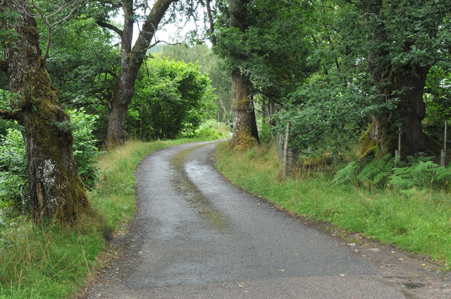
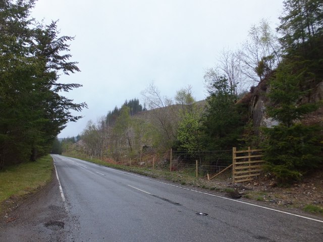
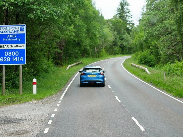
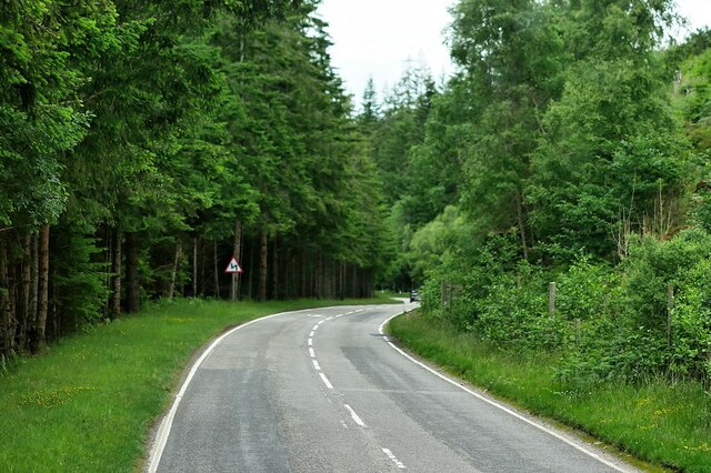
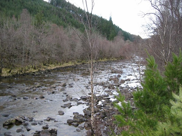
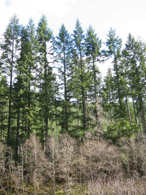
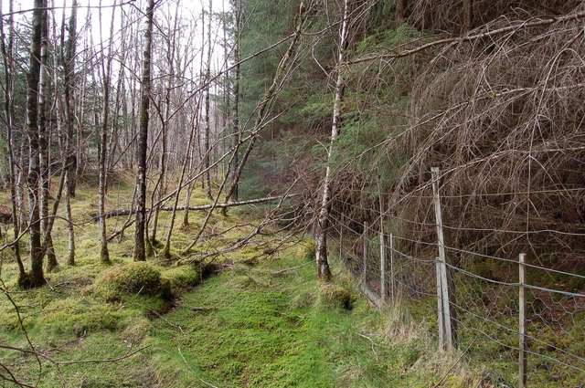
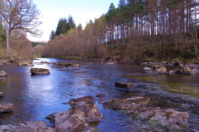
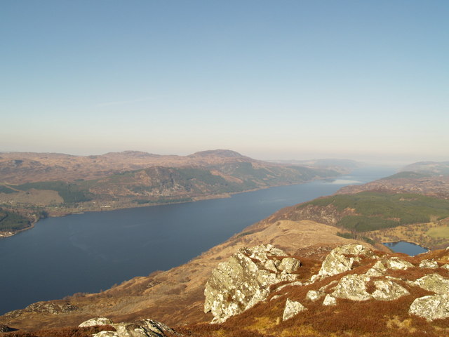
Coille Levishie, located in Inverness-shire, Scotland, is a captivating wood or forest area known for its natural beauty and tranquil ambiance. Covering a significant expanse of land, Coille Levishie offers visitors a chance to immerse themselves in the splendor of the Scottish countryside.

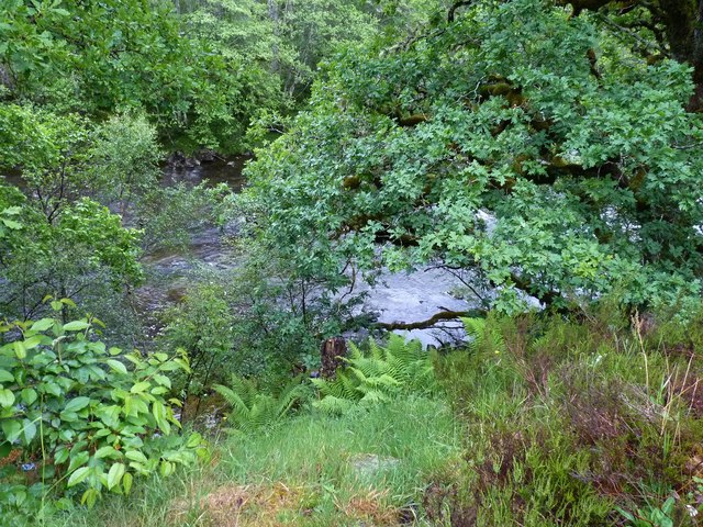
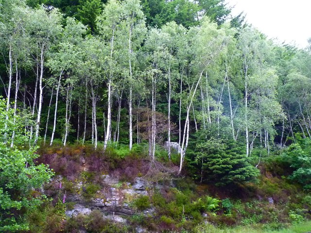
Nestled amidst rolling hills and picturesque landscapes, this enchanting forest is a haven for nature lovers and outdoor enthusiasts. The wood is predominantly composed of a diverse range of tree species, including oak, birch, pine, and ash. The interplay of various shades of green, especially during the summer months, creates a visually stunning panorama.

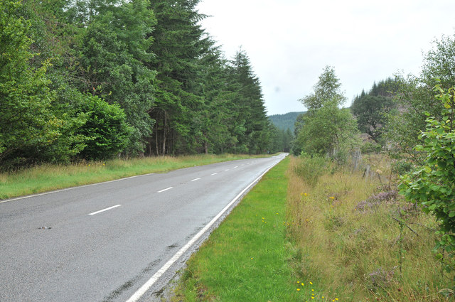
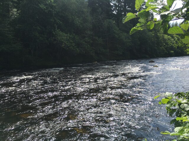
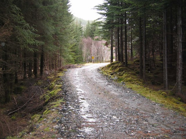
Coille Levishie is renowned for its well-maintained walking trails, providing visitors with opportunities for peaceful strolls or invigorating hikes. The diverse terrain caters to all abilities, with both easy and more challenging routes available. Along these pathways, one can discover hidden gems such as babbling brooks, small waterfalls, and occasional wildlife sightings, enhancing the overall experience.

Additionally, Coille Levishie is a popular spot for birdwatching, as it attracts a variety of avian species, including woodpeckers, finches, and thrushes. The air is filled with the melodious songs of these feathered creatures, creating a serene and harmonious atmosphere.

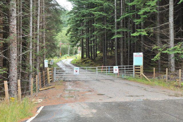
The wood is managed by a local conservation group, ensuring the preservation of its natural integrity. As a result, visitors can enjoy Coille Levishie's unspoiled beauty, making it an ideal destination for those seeking respite from the hustle and bustle of everyday life.

If you have any feedback on the listing, please let us know in the comments section below.

Coille Levishie Images

Images are sourced within 2km of 57.216633/-4.6744912 or Grid Reference NH3817. Thanks to Geograph Open Source API. All images are credited.

River through trees The river Moriston seen from the roadside above it.
River through trees
The river Moriston seen from the roadside above it.
Spindly silver birches Birch trees growing alongside the A887 road above the river Moriston.
Spindly silver birches
Birch trees growing alongside the A887 road above the river Moriston.
Recent clear felling near Invermoriston
A82 west of Invermoriston
Gravel pit entrance road Currently an active site.
Gravel pit entrance road
Currently an active site.
Road to private houses at Blaraidh
A887 in Glen Moriston The adjoining area of forestry has been re-fenced to promote regrowth after felling.
A887 in Glen Moriston
The adjoining area of forestry has been re-fenced to promote regrowth after felling.
A887 Glen Moriston The A887 is essentially a link road through Glen Moriston from the A82 to the A87 for traffic travelling between Inverness and Kyle of Lochalsh and the Isle of Skye. Although a trunk route, traffic volumes are relatively low.

The A887 runs for 14½ miles from a turning off the A82 at the small village of Invermoriston near the shore of Loch Ness to the A87 junction at Bunloyne. Traffic for Skye continues along the A87.
A887 Glen Moriston
The A887 is essentially a link road through Glen Moriston from the A82 to the A87 for traffic travelling between Inverness and Kyle of Lochalsh and the Isle of Skye. Although a trunk route, traffic volumes are relatively low. The A887 runs for 14½ miles from a turning off the A82 at the small village of Invermoriston near the shore of Loch Ness to the A87 junction at Bunloyne. Traffic for Skye continues along the A87.
A887 Westbound in Glen Moriston The A887 is essentially a link road through Glen Moriston from the A82 to the A87 for traffic travelling between Inverness and Kyle of Lochalsh and the Isle of Skye. Although a trunk route, traffic volumes are relatively low.

The A887 runs for 14½ miles from a turning off the A82 at the small village of Invermoriston near the shore of Loch Ness to the A87 junction at Bunloyne. Traffic for Skye continues along the A87.
A887 Westbound in Glen Moriston
The A887 is essentially a link road through Glen Moriston from the A82 to the A87 for traffic travelling between Inverness and Kyle of Lochalsh and the Isle of Skye. Although a trunk route, traffic volumes are relatively low. The A887 runs for 14½ miles from a turning off the A82 at the small village of Invermoriston near the shore of Loch Ness to the A87 junction at Bunloyne. Traffic for Skye continues along the A87.
Volvo FH on the A887 near Coille Bhlàraidh GF Job's Volvo FH (G3 JOB) with flatbed trailer on the A887.
Volvo FH on the A887 near Coille Bhlàraidh
GF Job's Volvo FH (G3 JOB) with flatbed trailer on the A887.
A887 near Coille Bhlàraidh The A887 is essentially a link road through Glen Moriston from the A82 to the A87 for traffic travelling between Inverness and Kyle of Lochalsh and the Isle of Skye. Although a trunk route, traffic volumes are relatively low.

The A887 runs for 14½ miles from a turning off the A82 at the small village of Invermoriston near the shore of Loch Ness to the A87 junction at Bunloyne. Traffic for Skye continues along the A87.
A887 near Coille Bhlàraidh
The A887 is essentially a link road through Glen Moriston from the A82 to the A87 for traffic travelling between Inverness and Kyle of Lochalsh and the Isle of Skye. Although a trunk route, traffic volumes are relatively low. The A887 runs for 14½ miles from a turning off the A82 at the small village of Invermoriston near the shore of Loch Ness to the A87 junction at Bunloyne. Traffic for Skye continues along the A87.
River Moriston downstream of Dundreggan
Glen Moriston Forest Track
River Moriston View upstream with Coille na Feinne on the left.
River Moriston
View upstream with Coille na Feinne on the left.
Tall Trees On the northern edge of Coille na Feinn.
Tall Trees
On the northern edge of Coille na Feinn.
River Moriston A few hundred metres upstream from Levishie.
River Moriston
A few hundred metres upstream from Levishie.
Edge of Coille Bhlàraidh The deer fence marks the boundary of the sitka forest. Here it gives way to the birch woodland that lines the River Moriston.
Edge of Coille Bhlàraidh
The deer fence marks the boundary of the sitka forest. Here it gives way to the birch woodland that lines the River Moriston.
River Moriston Looking downstream. The river is very low after a period of dry spring weather.
River Moriston
Looking downstream. The river is very low after a period of dry spring weather.
Show me another place!

Coille Levishie is located at Grid Ref: NH3817 (Lat: 57.216633, Lng: -4.6744912)

Unitary Authority: Highland

Police Authority: Highlands and Islands

What 3 Words

///empires.buddy.vintages. Near Cannich, Highland

Nearby Locations

Coille Levishie

Related Wikis

Loch a' Bhainne

Loch a' Bhainne is a small, upland freshwater loch approximately 2 miles (3.2 km) north of the east end of Loch Garry and 3.5 miles (5.6 km) north-west...

Achnaconeran

Achnaconeran is a remote crofting settlement in the Inverness committee area of Highland and is in the Scottish council area of Highland. Achnaconeran...

Invermoriston

Invermoriston (Inbhir Mhoireastain in Gaelic) (grid reference NH420167) is a small village 11 kilometres (7 miles) north of Fort Augustus, Highland, Scotland...

River Moriston

The River Moriston (Scottish Gaelic: Abhainn Mhoireastain) is a river in Inverness-shire, Scotland. It flows broadly east-north-east from the outfall of...

Nearby Amenities

Located within 500m of 57.216633,-4.6744912
Power: pole
Lat/Long: 57.2145862/-4.6810872
Power: pole
Lat/Long: 57.2149234/-4.6797008
Power: pole
Lat/Long: 57.2152931/-4.6782725
Power: pole
Lat/Long: 57.2156287/-4.6769131
Power: pole
Lat/Long: 57.2159157/-4.6757783
Power: pole
Lat/Long: 57.2162092/-4.6747033
Power: pole
Lat/Long: 57.216527/-4.6734727
Power: pole
Lat/Long: 57.216715/-4.672769
Power: pole
Lat/Long: 57.2168869/-4.6718946
Power: pole
Lat/Long: 57.2170036/-4.6712554
Power: pole
Lat/Long: 57.2173984/-4.6692028
Power: pole
Lat/Long: 57.2176254/-4.6680993
The data included in this document is from www.openstreetmap.org. The data is made available under ODbL.

Have you been to Coille Levishie?

Leave your review of Coille Levishie below (or comments, questions and feedback).