Albannach Burn Plantation

Wood, Forest in Sutherland

Scotland

Albannach Burn Plantation

A838 above Loch Merkland Another location where the A838 cuts through the corner of a grid square, which at this point is for some 250m.
A838 above Loch Merkland Credit: Gordon Hatton

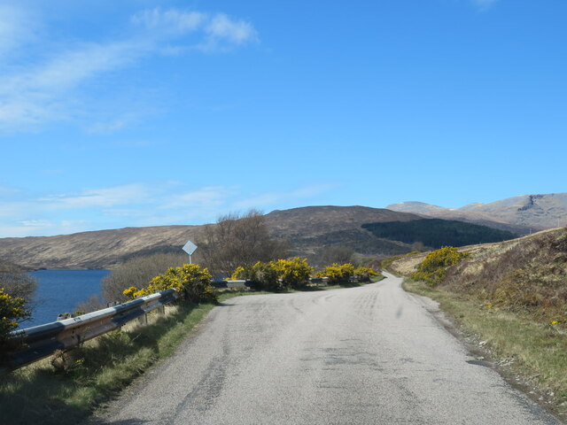
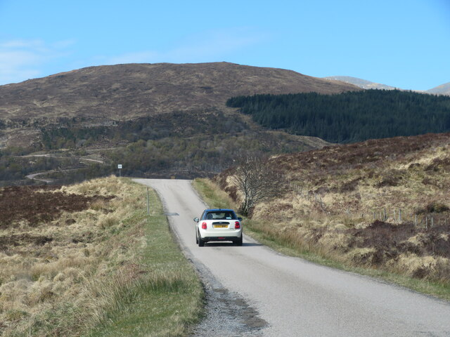
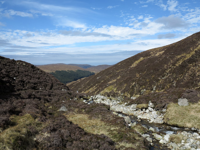
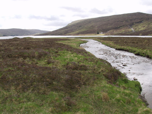
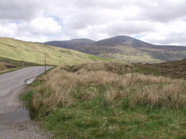
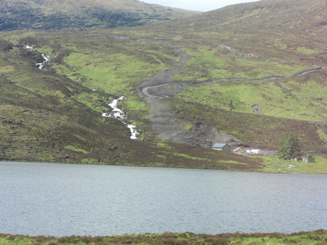
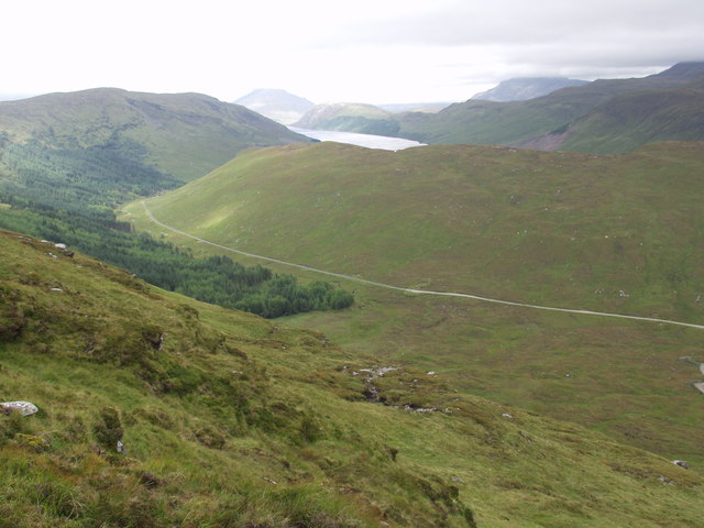
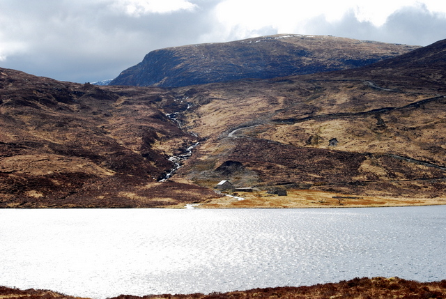
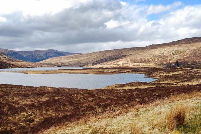
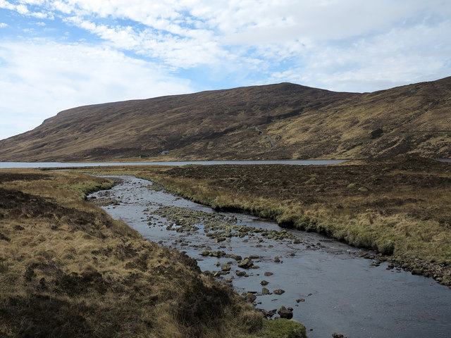
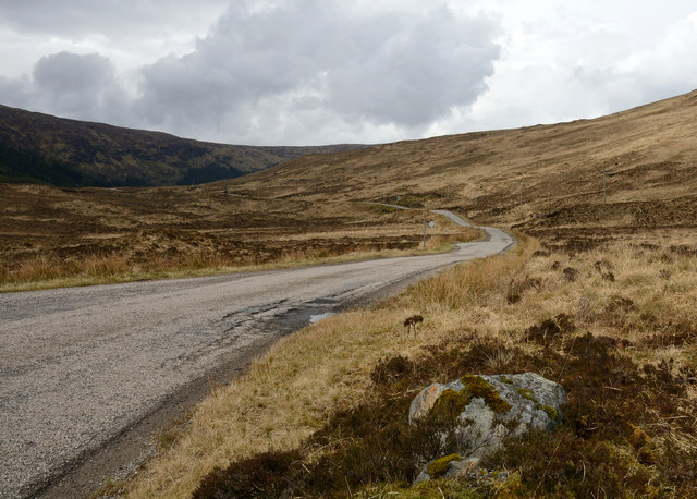
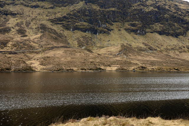
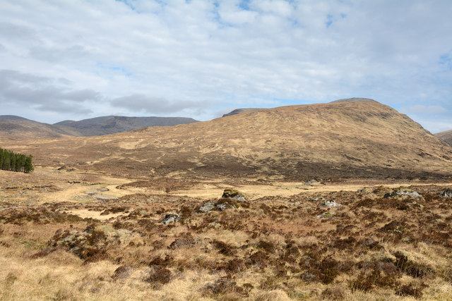
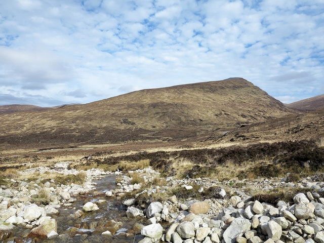
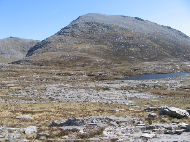
Albannach Burn Plantation is a vast woodland area located in the county of Sutherland, Scotland. Covering an expansive area, it is an enchanting mix of dense forest, picturesque glens, and meandering burns (streams). The plantation is situated near the village of Albannach, which lends its name to the area.

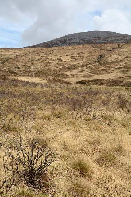
The woodland is predominantly made up of native Scottish trees, including oak, birch, and pine, which thrive in the region's damp climate. These trees create a dense canopy that provides a haven for a wide variety of wildlife. Visitors to Albannach Burn Plantation may catch a glimpse of red squirrels, roe deer, and a rich array of bird species, including the elusive capercaillie.

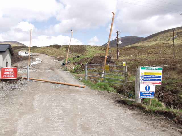
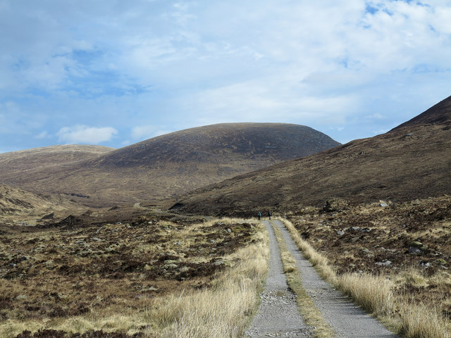
The plantation boasts several well-maintained trails, allowing visitors to explore the beauty of the area at their own pace. These paths wind their way through the woodland, crisscrossing over crystal-clear burns and offering breathtaking views of the surrounding countryside. The landscape is particularly striking during autumn when the vibrant colors of the changing leaves create a mesmerizing spectacle.

Albannach Burn Plantation is not only a haven for wildlife enthusiasts and nature lovers but also a valuable ecosystem that plays a vital role in carbon capture and biodiversity preservation. It offers a peaceful retreat from the hustle and bustle of everyday life, with its tranquil atmosphere and untouched natural beauty. Whether you are seeking a leisurely stroll, a chance to spot wildlife, or simply a place to reconnect with nature, Albannach Burn Plantation is a must-visit destination in Sutherland.

If you have any feedback on the listing, please let us know in the comments section below.

Albannach Burn Plantation Images

Images are sourced within 2km of 58.264355/-4.7576853 or Grid Reference NC3833. Thanks to Geograph Open Source API. All images are credited.

A838 above Loch Merkland Another location where the A838 cuts through the corner of a grid square, which at this point is for some 250m.
A838 above Loch Merkland
Another location where the A838 cuts through the corner of a grid square, which at this point is for some 250m.
Heading towards West Merkland A relatively busy time on the A838 with two other vehicles spotted within a few minutes of each other.
Heading towards West Merkland
A relatively busy time on the A838 with two other vehicles spotted within a few minutes of each other.
Allt Coir' a' Chruiteir The Allt Coir' a' Chruiteir drains the western side of Ben Hee; it's seen heading downstream from a stalkers' path on its south side.
Allt Coir' a' Chruiteir
The Allt Coir' a' Chruiteir drains the western side of Ben Hee; it's seen heading downstream from a stalkers' path on its south side.
Loch Merkland Creag nan Suibheag (466 m) on the horizon above the western shore of Loch Merkland. The construction of a new road on the far bank is part of a hydro electricity scheme for the local estate (rather than another wind farm).
Loch Merkland
Creag nan Suibheag (466 m) on the horizon above the western shore of Loch Merkland. The construction of a new road on the far bank is part of a hydro electricity scheme for the local estate (rather than another wind farm).
Watershed between Loch More and Loch Merkland Ben Hee (873 m) in the distance on the left and closer Meallan Liath Mor (683 m) on the right of the skyline, looking east from the highpoint on the pass.
Watershed between Loch More and Loch Merkland
Ben Hee (873 m) in the distance on the left and closer Meallan Liath Mor (683 m) on the right of the skyline, looking east from the highpoint on the pass.
West Merkland This is the southern end of a good cycling track that runs northwards across the watershed to Gobernuisgach Lodge in Glen Golly, 12km to the north east
West Merkland
This is the southern end of a good cycling track that runs northwards across the watershed to Gobernuisgach Lodge in Glen Golly, 12km to the north east
Garvault a ruined settlement Also in the picture is the swollen burn 'Garbh Allt' which was probably Anglicised to make the settlement's name. Additionally there is evidence of large scale earthworking.
Garvault a ruined settlement
Also in the picture is the swollen burn 'Garbh Allt' which was probably Anglicised to make the settlement's name. Additionally there is evidence of large scale earthworking.
Loch More from above Creag an Sgamhlainn Ben Stack (on the left) and Arkle (on the right) with their heads in the clouds. The road in the middle distance runs from Lairg on Loch Shin to Laxford Bridge on the west coast.
Loch More from above Creag an Sgamhlainn
Ben Stack (on the left) and Arkle (on the right) with their heads in the clouds. The road in the middle distance runs from Lairg on Loch Shin to Laxford Bridge on the west coast.
Garvault Ruin Looking across loch Merkland towards Gravault.
Garvault Ruin
Looking across loch Merkland towards Gravault.
West End Of Loch Merkland The West end of Loch Merkland with "The Old Stables" to the right of the photo.
West End Of Loch Merkland
The West end of Loch Merkland with "The Old Stables" to the right of the photo.
Dull afternoon at West Merkland
Allt nan Albannach The Allt nan Albannach is seen flowing into Loch Merkland from beside the bridge carrying the A838 over that river at West Merkland.
Allt nan Albannach
The Allt nan Albannach is seen flowing into Loch Merkland from beside the bridge carrying the A838 over that river at West Merkland.
A838 heading west The A838 heading west from near the north-western end of Loch Merkland.
A838 heading west
The A838 heading west from near the north-western end of Loch Merkland.
Creag an Sgamhlainn seen over Loch Merkland Creag an Sgamhlainn is the dark broken crag on the mountain slope beyond the loch. The name Creag an Sgamhlainn may well be applied to the mountain dome above though that is really just a shoulder of the greater mountain, Meall an Fheur Loch. The estate road scarring the slope below the crag is not currently (April 2014) shown on OS maps.
Creag an Sgamhlainn seen over Loch Merkland
Creag an Sgamhlainn is the dark broken crag on the mountain slope beyond the loch. The name Creag an Sgamhlainn may well be applied to the mountain dome above though that is really just a shoulder of the greater mountain, Meall an Fheur Loch. The estate road scarring the slope below the crag is not currently (April 2014) shown on OS maps.
Mountain slope rising towards Meallan Liath Mòr Meallan Liath Mòr is part of the Ben Hee group of mountains. The view is from moorland adjacent to Loch Merkland and across the line of the A838.
Mountain slope rising towards Meallan Liath Mòr
Meallan Liath Mòr is part of the Ben Hee group of mountains. The view is from moorland adjacent to Loch Merkland and across the line of the A838.
Estate road in valley of the Allt nan Albannach The road leaves the A838 at West Merkland and enters the glen on the east side of the Allt nan Albannach; the mountain dome ahead is Meall a' Chleirich with the Graham, Beinn Direach beyond it and to the left.
Estate road in valley of the Allt nan Albannach
The road leaves the A838 at West Merkland and enters the glen on the east side of the Allt nan Albannach; the mountain dome ahead is Meall a' Chleirich with the Graham, Beinn Direach beyond it and to the left.
Moorland with rocks in valley of Allt nan Albannach An estate road leaves the A838 at West Merkland to enter the glen of the Allt nan Albannach; the view is from that road, over the foreground moorland to the ridge Sail na Glaise which rises to A' Ghlaise and finally to the Graham, Carn an Tionail, that summit being out of sight.
Moorland with rocks in valley of Allt nan Albannach
An estate road leaves the A838 at West Merkland to enter the glen of the Allt nan Albannach; the view is from that road, over the foreground moorland to the ridge Sail na Glaise which rises to A' Ghlaise and finally to the Graham, Carn an Tionail, that summit being out of sight.
Slopes beyond Allt Coir' a' Chruiteir The Allt Coir' a' Chruiteir drains the western side of Ben Hee and its associated tops. The distant slope rises to the ridge Sail na Glaise, then to A' Ghlaise and finally to the Graham, Carn an Tionail.
Slopes beyond Allt Coir' a' Chruiteir
The Allt Coir' a' Chruiteir drains the western side of Ben Hee and its associated tops. The distant slope rises to the ridge Sail na Glaise, then to A' Ghlaise and finally to the Graham, Carn an Tionail.
Show me another place!

Albannach Burn Plantation is located at Grid Ref: NC3833 (Lat: 58.264355, Lng: -4.7576853)

Unitary Authority: Highland

Police Authority: Highlands and Islands

What 3 Words

///wheels.wished.preheated. Near Inchnadamph, Highland

Nearby Locations

Albannach Burn Plantation

Related Wikis

Loch Merkland

Loch Merkland is a large long inland loch in Sutherland, Northern Scotland. It is located adjacent to the A838 main road which provides almost all access...

Ben Hee

Ben Hee is a mountain in Scotland that rises to the height of 865.7 metres (2,840 ft). == References == == External links == Foinaven-Ben Hee Wild Land...

Meallan Liath Coire Mhic Dhùghaill

Meallan Liath Coire Mhic Dhughaill (801 m) is a mountain in the Northwest Highlands, Scotland. It lies in the far north of Scotland between Lairg and Durness...

Eas Creag an Luchda

Eas Creag an Luchda is a waterfall of Scotland. == See also == Waterfalls of Scotland == References ==

Beinn Leoid

Beinn Leoid (792 m) is a mountain in the Northwest Highlands of Scotland. It lies in Sutherland, east of the village of Kylesku. A very remote mountain...

Have you been to Albannach Burn Plantation?

Leave your review of Albannach Burn Plantation below (or comments, questions and feedback).