Specs Plantation
Wood, Forest in Ayrshire
Scotland
Specs Plantation
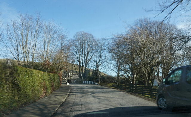
Specs Plantation is a woodland area located in Ayrshire, Scotland. Spanning across a vast 200 acres, the plantation is primarily composed of native broadleaf trees such as oak, birch, and beech, creating a picturesque forest landscape. It is situated within close proximity to the town of Ayr and is easily accessible to both locals and tourists.
This woodland offers a haven for wildlife, providing a diverse habitat for various species. The dense foliage and rich undergrowth attract a wide range of birds, including woodpeckers, owls, and thrushes. Small mammals like foxes, badgers, and rabbits can also be spotted in the area.
The plantation is well-maintained, with designated walking trails that allow visitors to explore the woodland at their own pace. These paths wind through the trees, offering a tranquil and peaceful environment for walking, jogging, or simply enjoying the beauty of nature. Along the trails, there are informative signposts providing details about the different tree species and wildlife found within the plantation.
Specs Plantation is a popular destination for nature enthusiasts and photographers alike. The changing seasons bring a kaleidoscope of colors, with vibrant autumn foliage and blooming wildflowers in the spring. The plantation also hosts occasional guided walks and educational events to promote awareness and appreciation of the local ecosystem.
Overall, Specs Plantation in Ayrshire offers a serene and enchanting experience for individuals seeking a connection with nature. Whether it is for leisurely walks, birdwatching, or simply enjoying the tranquility, this woodland is a must-visit destination for those looking to immerse themselves in the beauty of Scotland's natural landscapes.
If you have any feedback on the listing, please let us know in the comments section below.
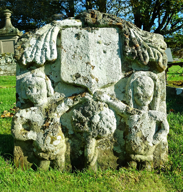
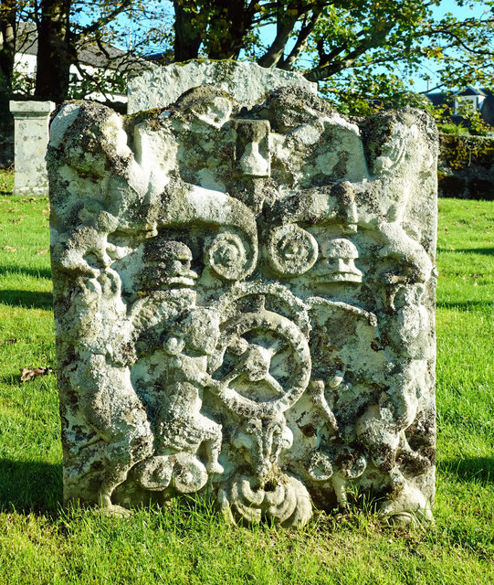
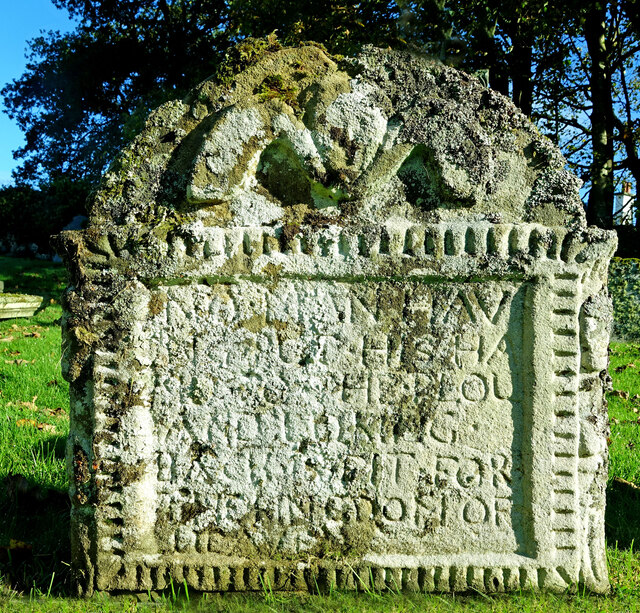
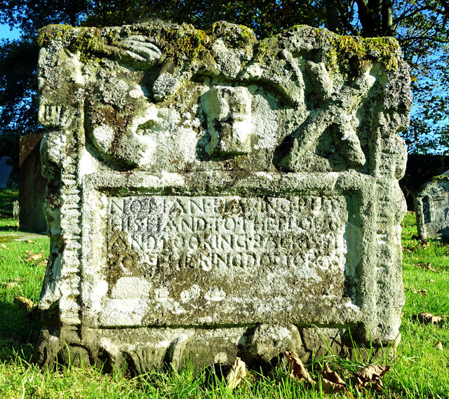
Specs Plantation Images
Images are sourced within 2km of 55.321319/-4.5500409 or Grid Reference NS3805. Thanks to Geograph Open Source API. All images are credited.


Specs Plantation is located at Grid Ref: NS3805 (Lat: 55.321319, Lng: -4.5500409)
Unitary Authority: South Ayrshire
Police Authority: Ayrshire
What 3 Words
///business.exacts.twitches. Near Patna, East Ayrshire
Nearby Locations
Related Wikis

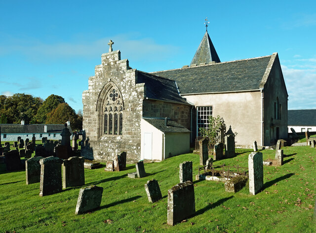
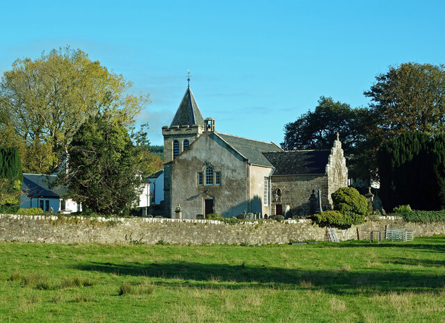
Straiton
Straiton is a village on the River Girvan in South Ayrshire in Scotland. It lies in the hills between Kirkmichael, Dalmellington, Crosshill, and Maybole...

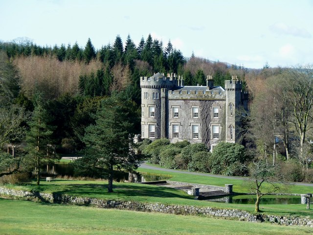
Blairquhan Castle
Blairquhan ( blair-WHAHN, Scots: Blairwhan) is a Regency era castle near Maybole in South Ayrshire, Scotland. It was the historic home of the Hunter-Blair...
Cloncaird Castle
Cloncaird Castle is located near the small village of Kirkmichael, around 6 kilometres (3.7 mi) east of Maybole in South Ayrshire, Scotland. The castle...

Drunmore Linn
Drunmore Linn is a waterfall of Scotland, near Straiton, South Ayrshire. == See also == Waterfalls of Scotland == References ==

Ayr, Carrick and Cumnock (UK Parliament constituency)
Ayr, Carrick, and Cumnock is a county constituency represented in the House of Commons of the Parliament of the United Kingdom. It was created for the...

Kirkmichael, South Ayrshire
Kirkmichael (Gaelic: Cille Mhìcheil, "the church of St Michael") is a village in South Ayrshire, Scotland, located between Patna, Maybole and Straiton...
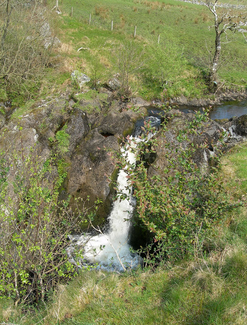
Tairlaw Linn
Tairlaw Linn is a waterfall of Scotland, near Straiton, South Ayrshire. == See also == Waterfalls of Scotland == References ==

Patna, East Ayrshire
Patna is a village in East Ayrshire, Scotland, straddling the traditional districts of Carrick and Kyle.It was established in 1802 by William Fullarton...
Nearby Amenities
Located within 500m of 55.321319,-4.5500409Have you been to Specs Plantation?
Leave your review of Specs Plantation below (or comments, questions and feedback).