Drumjin Wood

Wood, Forest in Wigtownshire

Scotland

Drumjin Wood

Drumterlie Cottage Looking over Culbratten Moor.
Drumterlie Cottage Credit: Russel Wills

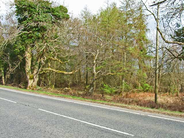
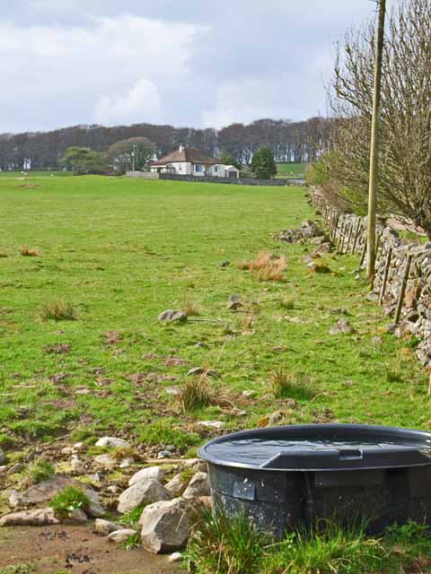
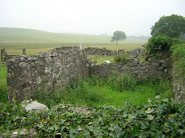
Drumjin Wood is a serene and enchanting forest located in Wigtownshire, Scotland. Situated just a few miles northwest of the picturesque village of Wigtown, this woodland area covers an extensive area of approximately 500 acres. Known for its natural beauty and rich biodiversity, Drumjin Wood has become a popular destination for nature lovers and outdoor enthusiasts.

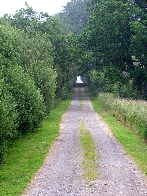
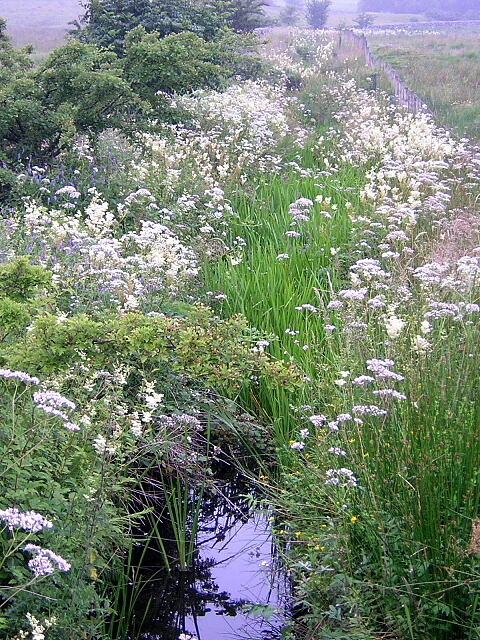
The wood is primarily composed of native Scots pines, with their tall and majestic trunks reaching towards the sky. These ancient trees provide a dense canopy that filters sunlight, creating a dappled effect on the forest floor. Beneath this canopy, a diverse range of flora thrives, including wildflowers, ferns, and mosses, adding bursts of color and texture to the landscape.

Drumjin Wood is home to an array of wildlife, offering a sanctuary for a variety of species. Bird enthusiasts will delight in the abundance of feathered creatures, such as woodpeckers, owls, and finches, filling the air with their melodious songs. Squirrels playfully scurry up and down the trees, while elusive deer can occasionally be spotted grazing in the more secluded areas of the wood.

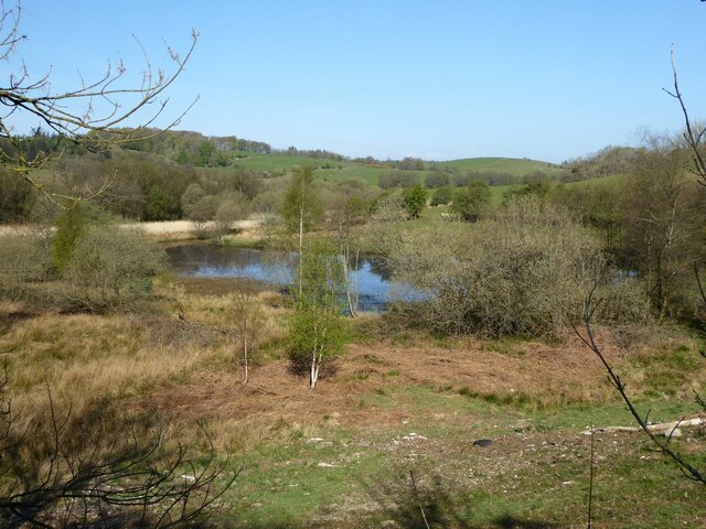
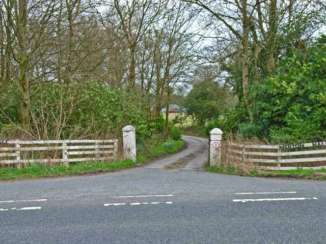
The forest boasts several well-maintained trails that wind their way through the woodland, allowing visitors to explore its beauty at their own pace. These paths offer glimpses of babbling brooks, tranquil ponds, and hidden clearings that invite moments of reflection and tranquility.

Whether for a leisurely stroll, birdwatching, or simply immersing oneself in nature's embrace, Drumjin Wood provides a captivating experience for all who venture into its enchanting realm.

If you have any feedback on the listing, please let us know in the comments section below.
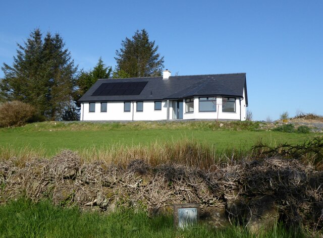
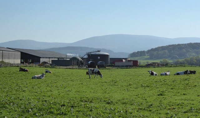
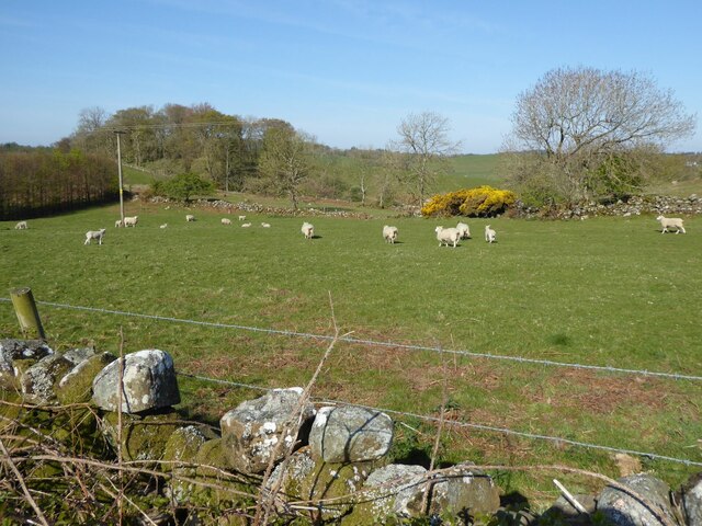
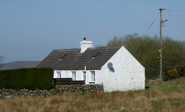
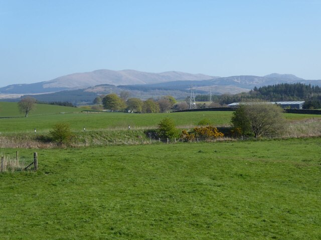
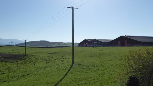
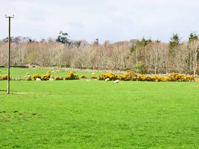
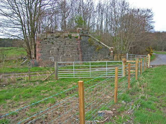
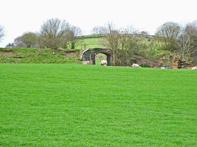
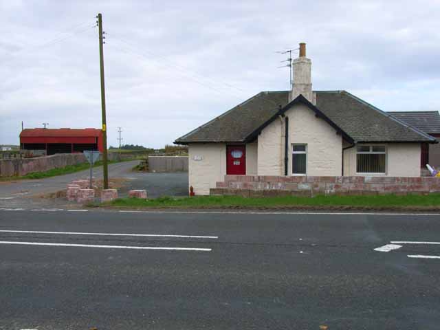
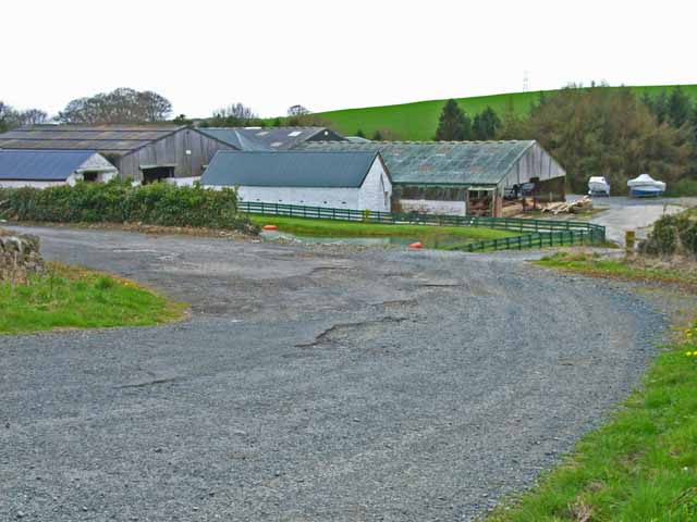
Drumjin Wood Images

Images are sourced within 2km of 54.946354/-4.529639 or Grid Reference NX3864. Thanks to Geograph Open Source API. All images are credited.

Drumterlie Cottage Looking over Culbratten Moor.
Drumterlie Cottage
Looking over Culbratten Moor.
East Knockbrex Large farm with prominent slurry tank!
East Knockbrex
Large farm with prominent slurry tank!
Sheep and lambs  At Drumterlie.
Sheep and lambs
At Drumterlie.
Pond below Culbratten Hill Fed by Merton Burn.
With hides for wild-fowling.
Pond below Culbratten Hill
Fed by Merton Burn. With hides for wild-fowling.
Low Barskeoch On the road to Newton Stewart.
Low Barskeoch
On the road to Newton Stewart.
Pylons across the grassland High Barbuchany is hidden in the dip.
Kirroughtree Forest in the distance.
Pylons across the grassland
High Barbuchany is hidden in the dip. Kirroughtree Forest in the distance.
Electricity poles At East Knockbrex.
Electricity poles
At East Knockbrex.
Field near Benfield Seen from the A75. Gorse (or furze) seems to be a major problem having invaded many of the fields in south-west Scotland
Field near Benfield
Seen from the A75. Gorse (or furze) seems to be a major problem having invaded many of the fields in south-west Scotland
Old bridge abutment on the A75 Looking east. The bridge formerly carried the Dumfries to Stranraer railway (closed in the 1960s) over the A75. The main road performed a sharp double bend under the bridge, but has now been realigned. (The road in the foreground is just a farm road serving Benfield Farm)
Old bridge abutment on the A75
Looking east. The bridge formerly carried the Dumfries to Stranraer railway (closed in the 1960s) over the A75. The main road performed a sharp double bend under the bridge, but has now been realigned. (The road in the foreground is just a farm road serving Benfield Farm)
Old railway embankment and bridge at Blackpark The disused railway from Dumfries to Stranraer, closed in the 1960s
Old railway embankment and bridge at Blackpark
The disused railway from Dumfries to Stranraer, closed in the 1960s
Knockbrex Toll Old tollhouse on the A75
Knockbrex Toll
Old tollhouse on the A75
South Barnkirk This farm now appears to serve as a timber yard
South Barnkirk
This farm now appears to serve as a timber yard
Woodland alongside the A75 Although there is little trace to be seen now, the former Dumfries to Stranraer railway (closed in the 1960s) ran through this belt of woodland parallel to the A75.
Woodland alongside the A75
Although there is little trace to be seen now, the former Dumfries to Stranraer railway (closed in the 1960s) ran through this belt of woodland parallel to the A75.
Gateway and driveway to Merton Hall Adjoining the A75
Gateway and driveway to Merton Hall
Adjoining the A75
Barskeoch Off the A75
Barskeoch
Off the A75
Minor Road Near Challoch
Challoch Burn
Challoch Burn
Ruin Near Challoch Burn
Show me another place!

Drumjin Wood is located at Grid Ref: NX3864 (Lat: 54.946354, Lng: -4.529639)

Unitary Authority: Dumfries and Galloway

Police Authority: Dumfries and Galloway

What 3 Words

///junction.cones.sidelined. Near Newton Stewart, Dumfries & Galloway

Related Wikis

Newton Stewart F.C.

Newton Stewart Football Club are a football club from the town of Newton Stewart in the Dumfries and Galloway area of Scotland. Formed in 1880, as Newton...

Newton Stewart Hospital

Newton Stewart Hospital is a health facility in Newton Stewart, Dumfries and Galloway, Scotland. It is managed by NHS Dumfries and Galloway. == History... ==

Newton Stewart railway station

Newton Stewart railway station served the town of Newton Stewart, Dumfries and Galloway, Scotland from 1861 to 1965 on the Portpatrick and Wigtownshire...

Newton Stewart

Newton Stewart (Gd: Baile Ùr nan Stiùbhartach) is a former burgh town in the historical county of Wigtownshire in Dumfries and Galloway, southwest Scotland...

Nearby Amenities

Located within 500m of 54.946354,-4.529639
Blackpark Farm
Naptan AtcoCode: 680000907333
Naptan Bearing: SW
Naptan BusStopType: CUS
Naptan CommonName: Blackpark Farm
Naptan Indicator: opp road end
Naptan Landmark: Blackpark
Naptan NaptanCode: 34235249
Naptan Notes: none
Naptan Street: A75
Naptan Verified: no
Source: naptan_import
Lat/Long: 54.9478105/-4.5273342
Blackpark Farm
Naptan AtcoCode: 680000907444
Naptan Bearing: NE
Naptan BusStopType: CUS
Naptan CommonName: Blackpark Farm
Naptan Indicator: road end
Naptan Landmark: Blackpark
Naptan NaptanCode: 34235248
Naptan Notes: none
Naptan Street: A75
Naptan Verified: no
Source: naptan_import
Lat/Long: 54.9479978/-4.5269711
Power: pole
Lat/Long: 54.9505936/-4.5291555
Power: pole
Lat/Long: 54.9500978/-4.5280108
Power: pole
Lat/Long: 54.9424257/-4.5288276
Power: pole
Lat/Long: 54.9430642/-4.5285327
Power: pole
Lat/Long: 54.9435512/-4.527906
Power: pole
Lat/Long: 54.9447759/-4.5277605
Power: pole
Lat/Long: 54.9495362/-4.5292098
Power: pole
Lat/Long: 54.9489892/-4.5303894
Power: pole
Lat/Long: 54.9485312/-4.5313848
Power: pole
Lat/Long: 54.9480554/-4.5324189
Power: pole
Lat/Long: 54.9476119/-4.533356
Power: pole
Lat/Long: 54.9471484/-4.5343707
Power: pole
Lat/Long: 54.9467015/-4.5353311
Power: pole
Lat/Long: 54.9462636/-4.5362798
Power: pole
Lat/Long: 54.9458312/-4.5372247
The data included in this document is from www.openstreetmap.org. The data is made available under ODbL.

Have you been to Drumjin Wood?

Leave your review of Drumjin Wood below (or comments, questions and feedback).