Overton Plantations
Wood, Forest in Ayrshire
Scotland
Overton Plantations

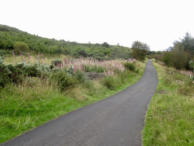
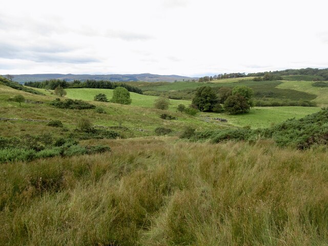
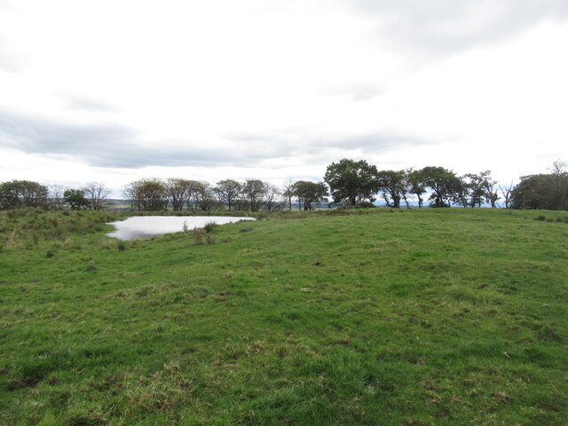
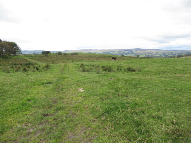
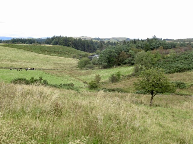
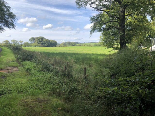
Overton Plantations, Ayrshire, is a sprawling wood and forest area located in the southwestern region of Scotland. Spanning approximately 200 hectares, it is a popular destination for nature lovers, hikers, and outdoor enthusiasts.
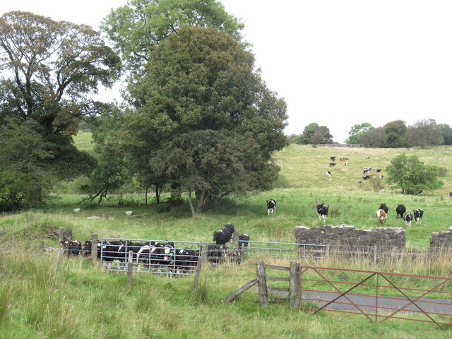
The plantation is characterized by its diverse range of tree species, including native trees like oak, birch, and ash, as well as non-native species such as Douglas fir and Sitka spruce. The varying types of trees contribute to a rich and vibrant ecosystem, supporting a wide array of flora and fauna.
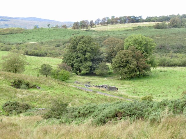
Visitors to Overton Plantations can enjoy a network of well-maintained trails that wind through the forest, offering stunning views and opportunities for exploration. The trails are suitable for all fitness levels, with options for short leisurely walks or longer, more challenging hikes.
The plantation is also home to several species of wildlife, including red squirrels, roe deer, and a variety of bird species. Birdwatchers will delight in the chance to spot species like the great spotted woodpecker or the elusive tawny owl.
In addition to its natural beauty, Overton Plantations offers a range of recreational activities. There are designated picnic areas where visitors can enjoy a meal while surrounded by the tranquil sounds of nature. For those seeking a more adventurous experience, the forest provides opportunities for mountain biking and horseback riding.
Overall, Overton Plantations, Ayrshire, is a haven for nature enthusiasts, providing a peaceful and picturesque setting for outdoor activities and wildlife observation.
If you have any feedback on the listing, please let us know in the comments section below.
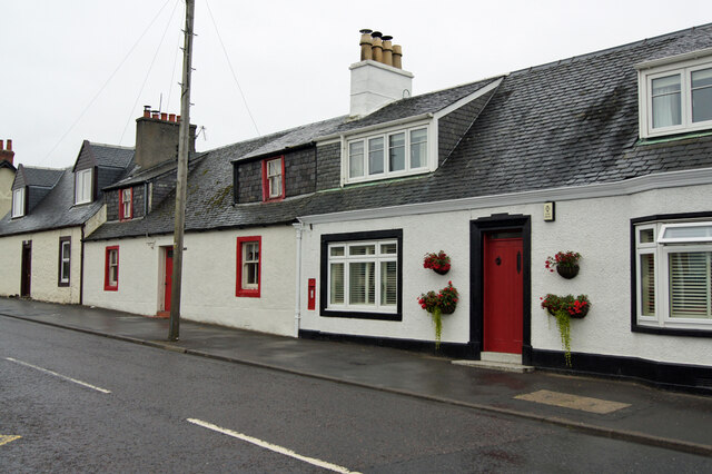
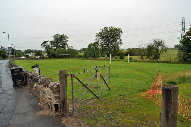
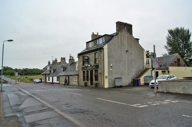
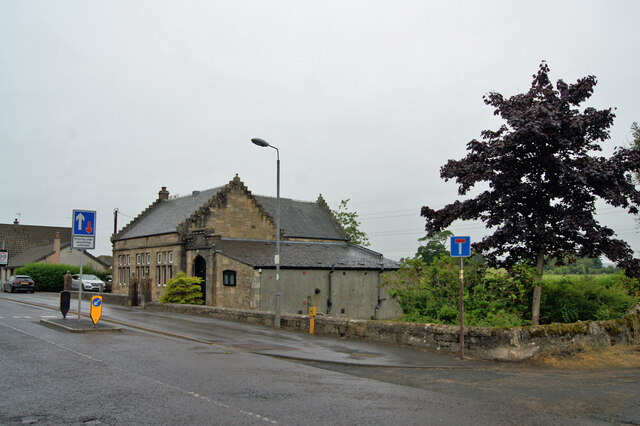
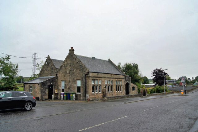
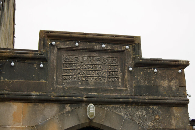
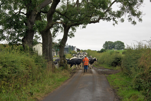
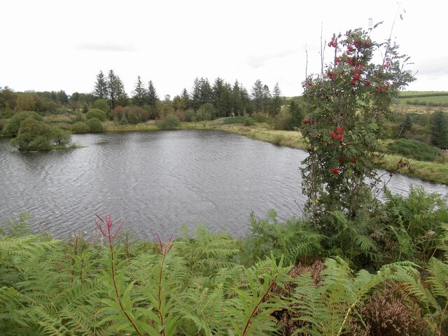
Overton Plantations Images
Images are sourced within 2km of 55.750552/-4.5842993 or Grid Reference NS3753. Thanks to Geograph Open Source API. All images are credited.
Overton Plantations is located at Grid Ref: NS3753 (Lat: 55.750552, Lng: -4.5842993)
Unitary Authority: North Ayrshire
Police Authority: Ayrshire
What 3 Words
///eternally.forever.chemistry. Near Beith, North Ayrshire
Nearby Locations
Related Wikis

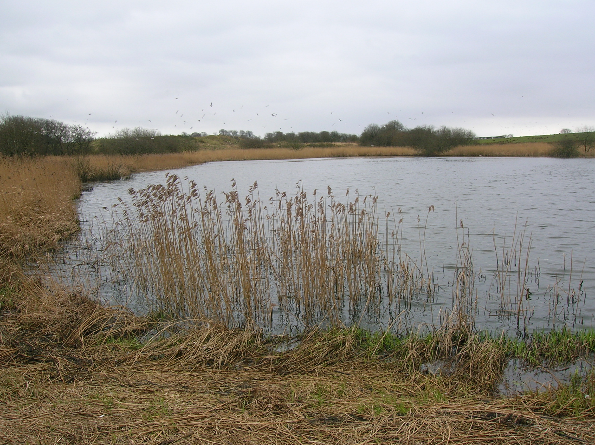
Hessilhead Loch
Hessilhead Loch or Hazelhead Loch was situated in a low-lying area near the old Castle of Hessilhead in the Parish of Beith, North Ayrshire, Scotland....
Hessilhead
Hessilhead is in Beith, North Ayrshire, Scotland. Hessilhead used to be called Hazlehead or Hasslehead. The lands were part of the Lordship of Giffen,...

Coldstream Mill
Coldstream Mill, near Beith in North Ayrshire, Scotland, was an early 19th century meal mill powered by the Dusk Water and Whitestone Burn that was enlarged...

Hessilhead hamlet
Hessilhead hamlet or Haselet is a small settlement or clachan in North Ayrshire, Scotland. It is situated to the east of the town of Beith and stands on...
Blae Loch (Beith)
The Blae Loch is a small freshwater loch situated in a hollow in a low-lying area beneath Blaelochhead Hill in the Parish of Beith, North Ayrshire, Scotland...

Lowes Loch (Ayrshire)
Lowes Loch, The Lochs (NS 37754 55688) or Loch of Hill is now a small natural freshwater loch in the North Ayrshire Council Areas (KA15 2JR), Scotland...

Loch Brand
Loch Brand or Loch of Boghall was a loch situated in a depression between the Grange Estate, Crummock, Hill of Beith Castle site and Boghall in the Parish...

Gateside, North Ayrshire
Gateside is a small village in North Ayrshire, Scotland about 1⁄2 mile (800 metres) east of Beith on the B777. == The village == Gateside Primary School...
Nearby Amenities
Located within 500m of 55.750552,-4.5842993Have you been to Overton Plantations?
Leave your review of Overton Plantations below (or comments, questions and feedback).