Scart Wood

Wood, Forest in Renfrewshire

Scotland

Scart Wood

Main Street, Bridge of Weir
Main Street, Bridge of Weir Credit: Richard Sutcliffe

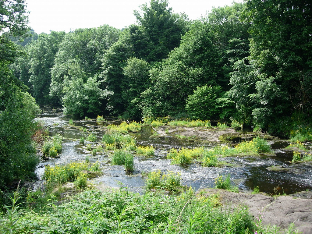
Scart Wood is a picturesque forest located in Renfrewshire, Scotland. Covering an area of approximately 100 acres, it is known for its natural beauty and rich biodiversity. The wood is situated near the village of Howwood, making it easily accessible for visitors from nearby towns and cities.

The woodland consists mainly of deciduous trees, including oak, birch, and beech, which provide a stunning display of colors during autumn. The diverse range of flora and fauna found in Scart Wood makes it an ideal habitat for various species of birds, mammals, and insects. Birdwatchers can spot a variety of species, such as woodpeckers, thrushes, and owls, while red squirrels and roe deer are often seen roaming freely among the trees.

The wood offers a network of well-maintained trails and paths, allowing visitors to explore its beauty at their own pace. Nature enthusiasts can enjoy leisurely walks, joggers can challenge themselves with a run through the wood, and families can have picnics amidst the tranquility of the surroundings.

Scart Wood also has historical significance, with remnants of ancient settlements and structures scattered throughout the area. Archaeological finds suggest that the woodland has been inhabited for thousands of years, serving as a valuable resource for early communities.

Overall, Scart Wood is a haven for nature lovers, providing an opportunity to immerse oneself in the beauty of the natural world. Its accessibility, diverse wildlife, and historical significance make it a popular destination for both locals and tourists seeking a peaceful retreat in the heart of Renfrewshire.

If you have any feedback on the listing, please let us know in the comments section below.
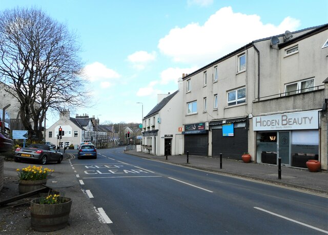
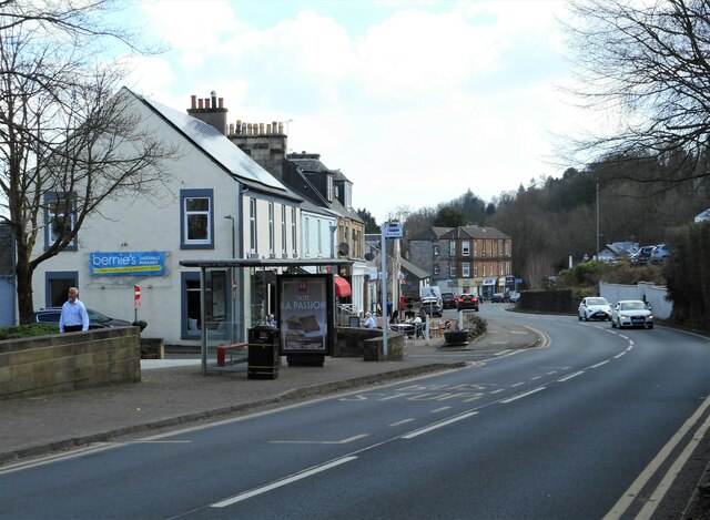
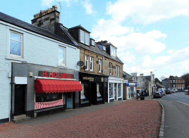
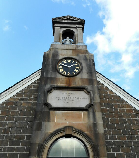
Scart Wood Images

Images are sourced within 2km of 55.870041/-4.5920904 or Grid Reference NS3767. Thanks to Geograph Open Source API. All images are credited.

Main Street, Bridge of Weir
Shops, Main Street, Bridge of Weir H.Holmes (butchers); Cochrandickie (estate agency); Allen & Harris (estate agents) and the Bank of Scotland.
Shops, Main Street, Bridge of Weir
H.Holmes (butchers); Cochrandickie (estate agency); Allen & Harris (estate agents) and the Bank of Scotland.
The Bridge Community Centre More than just a community centre! The Bridge houses the Post Office, shop and cafe; and is home to the Horticultural Society, Community Garden, Bridge Club, Cinema, 'Brighter Bridge of Weir', and a hearing aid clinic. It also hosts the surgeries for Natalie Don MSP and Gavin Newlands MP.
The Bridge Community Centre
More than just a community centre! The Bridge houses the Post Office, shop and cafe; and is home to the Horticultural Society, Community Garden, Bridge Club, Cinema, 'Brighter Bridge of Weir', and a hearing aid clinic. It also hosts the surgeries for Natalie Don MSP and Gavin Newlands MP.
Bell tower, Freeland Church A Category C listed church <span class="nowrap"><a title="http://portal.historicenvironment.scot/designation/LB13481" rel="nofollow ugc noopener" href="http://portal.historicenvironment.scot/designation/LB13481">Link</a><img style="margin-left:2px;" alt="External link" title="External link - shift click to open in new window" src="https://s1.geograph.org.uk/img/external.png" width="10" height="10"/></span> on Main Street. The main part of the church dates from 1826. The front hall (including the bell tower) was added in 1857 (the gift of G S Freeland).
Bell tower, Freeland Church
A Category C listed church LinkExternal link on Main Street. The main part of the church dates from 1826. The front hall (including the bell tower) was added in 1857 (the gift of G S Freeland).
Notice board and window, Freeland Church A Category C listed church <span class="nowrap"><a title="http://portal.historicenvironment.scot/designation/LB13481" rel="nofollow ugc noopener" href="http://portal.historicenvironment.scot/designation/LB13481">Link</a><img style="margin-left:2px;" alt="External link" title="External link - shift click to open in new window" src="https://s1.geograph.org.uk/img/external.png" width="10" height="10"/></span> on Main Street. The main part of the church dates from 1826. The front hall (part seen here) was added in 1857 (the gift of G S Freeland).
Notice board and window, Freeland Church
A Category C listed church LinkExternal link on Main Street. The main part of the church dates from 1826. The front hall (part seen here) was added in 1857 (the gift of G S Freeland).
Freeland Church A Category C listed church <span class="nowrap"><a title="http://portal.historicenvironment.scot/designation/LB13481" rel="nofollow ugc noopener" href="http://portal.historicenvironment.scot/designation/LB13481">Link</a><img style="margin-left:2px;" alt="External link" title="External link - shift click to open in new window" src="https://s1.geograph.org.uk/img/external.png" width="10" height="10"/></span> on Main Street. The main part of the church dates from 1826. The front hall (including the bell tower) was added in 1857 (the gift of G S Freeland).
Freeland Church
A Category C listed church LinkExternal link on Main Street. The main part of the church dates from 1826. The front hall (including the bell tower) was added in 1857 (the gift of G S Freeland).
Lochnagar Cafe Cafe on Main Street, Bridge of Weir.
Lochnagar Cafe
Cafe on Main Street, Bridge of Weir.
Weir's Wok and Main Street Chippy Takeaways on Main Street. The pillar box is postbox No: PA11 170.
Weir's Wok and Main Street Chippy
Takeaways on Main Street. The pillar box is postbox No: PA11 170.
Bank of Scotland, Bridge of Weir On Main Street.
Bank of Scotland, Bridge of Weir
On Main Street.
Shops, Livery Walk Ice Mania, Boots, Dragon Palace and others.
Shops, Livery Walk
Ice Mania, Boots, Dragon Palace and others.
Hope Hall A non-denominational, elder-led church of Christians with a long history in Bridge of Weir.
Hope Hall
A non-denominational, elder-led church of Christians with a long history in Bridge of Weir.
Hope Hall A non-denominational, elder-led church of Christians with a long history in Bridge of Weir.
Hope Hall
A non-denominational, elder-led church of Christians with a long history in Bridge of Weir.
Amaretto Italian Kitchen and Bar on Main Street, Bridge of Weir.
Amaretto
Italian Kitchen and Bar on Main Street, Bridge of Weir.
1-6 Kirkinner Place Tenement block with shops on Main Street. Melrose Beauty & Tanning; Stewart IFA & Lind Letting; Ailsa's Salon & Affluent Financial Planning.
1-6 Kirkinner Place
Tenement block with shops on Main Street. Melrose Beauty & Tanning; Stewart IFA & Lind Letting; Ailsa's Salon & Affluent Financial Planning.
Ailsa's Salon Ladies' hairdressers and gents barber on Main Street.
Ailsa's Salon
Ladies' hairdressers and gents barber on Main Street.
Patterns on the wall Interesting patterns on the wall of the Coop in Bridge of Weir.
Patterns on the wall
Interesting patterns on the wall of the Coop in Bridge of Weir.
Shimla Cottage Fine Indian cuisine at the corner of Torr Road and Main Street, Bridge of Weir.
Shimla Cottage
Fine Indian cuisine at the corner of Torr Road and Main Street, Bridge of Weir.
Show me another place!

Scart Wood is located at Grid Ref: NS3767 (Lat: 55.870041, Lng: -4.5920904)

Unitary Authority: Renfrewshire

Police Authority: Renfrewshire and Inverclyde

What 3 Words

///figs.pimples.afraid. Near Bridge of Weir, Renfrewshire

Nearby Locations

Barlogan Wood Scart Wood

Related Wikis

Gryffe Castle

Gryffe Castle was a castle existing in 1474, probably about 0.5 miles (0.80 km) north of Bridge of Weir, Renfrewshire, Scotland.The present Gryffe Castle...

Strathgryffe

Strathgryffe or Gryffe Valley (Scottish Gaelic: Srath Ghriobhaidh) is the strath of River Gryffe, which lies within the historic county of Renfrewshire...

Quarrier's Village

Quarrier's Village or Quarriers Village is a small settlement in the civil parish of Kilmacolm in Inverclyde council area and the historic county of Renfrewshire...

Bridge of Weir

Bridge of Weir is a village within the Renfrewshire council area and wider historic county of Renfrewshire in the west central Lowlands of Scotland. Lying...

St Fillan's Kirk, Seat and Well

St Fillan's Kirk, Seat and Well are located in the hamlet of Kilallan, once the main religious centre of the ancient parish of Kilallan (Cill Fhaolain...

Ranfurly Castle

Ranfurly Castle is a ruined 15th century castle, about 0.5 miles (0.80 km) south west of Bridge of Weir, Renfrewshire, Scotland, in Ranfurly golf course...

Bridge of Weir railway station

Bridge of Weir railway station was a railway station serving the village of Bridge of Weir, Renfrewshire, Scotland, originally as part of the Bridge of...

Houston and Killellan

Houston and Killellan is a civil parish in the county and council area of Renfrewshire in the west central Lowlands of Scotland. It contains the villages...

Nearby Amenities

Located within 500m of 55.870041,-4.5920904
Power: pole
Lat/Long: 55.8737504/-4.5926473
Power: pole
Lat/Long: 55.8730838/-4.5920411
Power: pole
Lat/Long: 55.8721704/-4.5912552
Power: pole
Lat/Long: 55.8720982/-4.5899811
Power: pole
Lat/Long: 55.8720304/-4.5886534
Power: pole
Lat/Long: 55.8719432/-4.5881224
Power: pole
Lat/Long: 55.8717084/-4.5869154
Power: pole
Lat/Long: 55.8714691/-4.5857701
Power: pole
Lat/Long: 55.8712268/-4.5845684
Power: pole
Lat/Long: 55.8712208/-4.5852256
Power: pole
Lat/Long: 55.8713894/-4.5860946
Power: pole
Lat/Long: 55.8716422/-4.5874679
Power: pole
Lat/Long: 55.8719085/-4.588809
Power: pole
Lat/Long: 55.8719717/-4.5900375
Power: pole
Lat/Long: 55.8720244/-4.5914081
Power: pole
Lat/Long: 55.8724849/-4.5918292
Power: pole
Lat/Long: 55.8731229/-4.5923764
Power: pole
Lat/Long: 55.8738843/-4.5930281
Power: pole
Lat/Long: 55.8694207/-4.5995973
Power: pole
Lat/Long: 55.8691273/-4.5983141
Power: pole
Lat/Long: 55.8687404/-4.5966142
Power: pole
Lat/Long: 55.8683933/-4.5950581
Power: pole
Lat/Long: 55.8684061/-4.5931936
Power: pole
Lat/Long: 55.8684143/-4.5915312
Power: pole
Lat/Long: 55.8684284/-4.5895376
Power: pole
Lat/Long: 55.8682694/-4.5883085
Power: pole
Lat/Long: 55.8680707/-4.5869336
Power: pole
Lat/Long: 55.867893/-4.5855941
The data included in this document is from www.openstreetmap.org. The data is made available under ODbL.

Have you been to Scart Wood?

Leave your review of Scart Wood below (or comments, questions and feedback).