Cairnhill Plantation
Wood, Forest in Wigtownshire
Scotland
Cairnhill Plantation
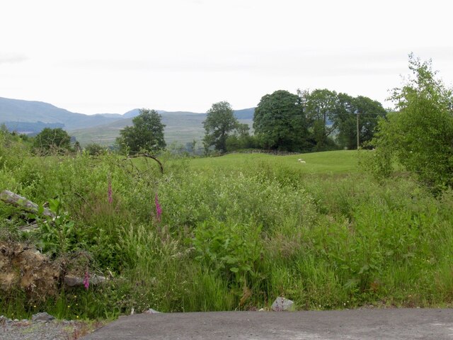
Cairnhill Plantation is a picturesque woodland located in Wigtownshire, a historic county in southwestern Scotland. Spanning an area of approximately 200 acres, this enchanting forest is a haven for nature enthusiasts and outdoor adventurers alike.
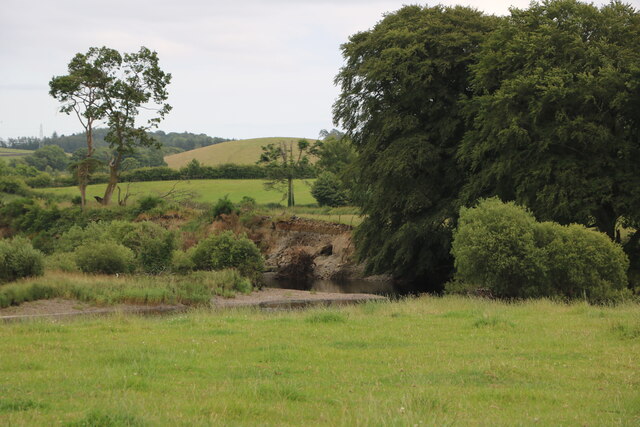
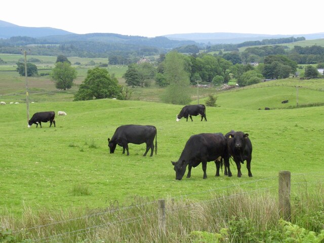
The plantation is predominantly composed of diverse species of trees, including oak, beech, and birch, which create a vibrant and lush canopy. The dense foliage provides a habitat for a variety of wildlife, such as deer, squirrels, and numerous bird species, making it a popular destination for birdwatchers.
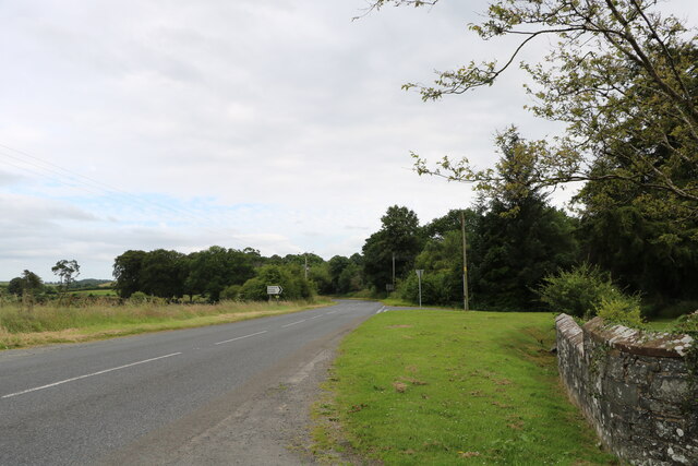
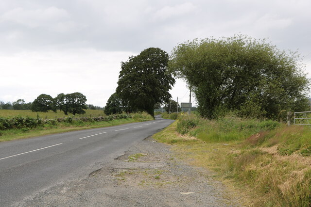
Visitors to Cairnhill Plantation can explore the well-maintained network of trails that wind through the woodland. These paths offer a tranquil and serene setting for walking, jogging, or cycling, allowing visitors to immerse themselves in the natural beauty of the surroundings. Along the way, there are several viewpoints that offer breathtaking vistas of the surrounding countryside and the nearby Galloway Hills.
The plantation also features a picnic area, where visitors can relax and enjoy a meal amidst the peaceful ambiance. Additionally, there are information boards dotted throughout the woodland, providing educational insights into the local flora and fauna.
Cairnhill Plantation is open to the public year-round, and admission is free. The site is easily accessible by car, with ample parking available. It is worth noting that while the trails are well-maintained, some sections can be uneven or muddy, so appropriate footwear is recommended.
Overall, Cairnhill Plantation offers a serene escape from the hustle and bustle of everyday life, providing an opportunity to reconnect with nature in a truly enchanting setting.
If you have any feedback on the listing, please let us know in the comments section below.
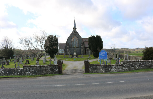
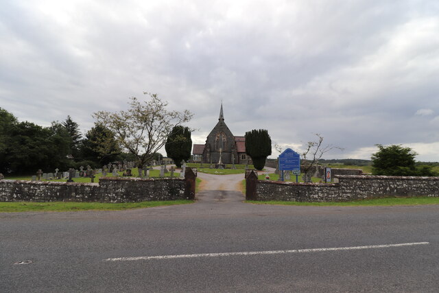
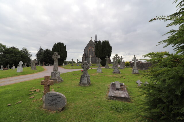
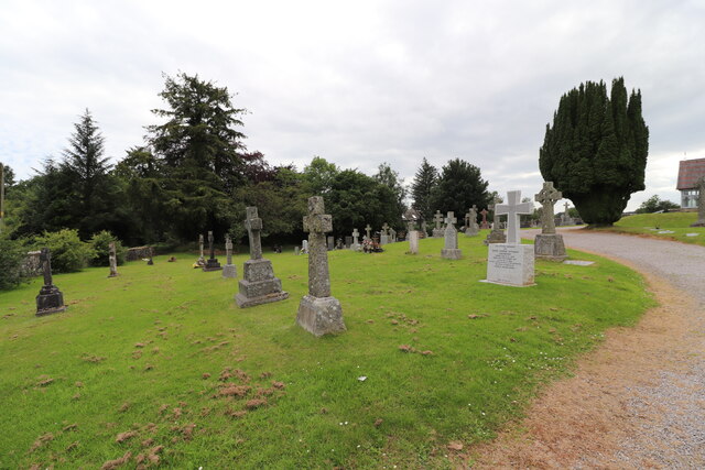
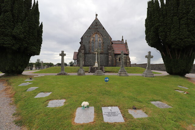
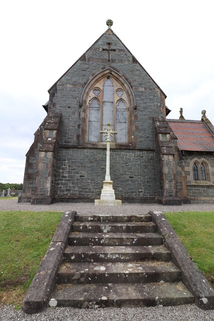
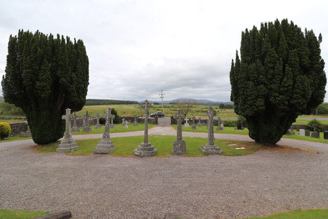
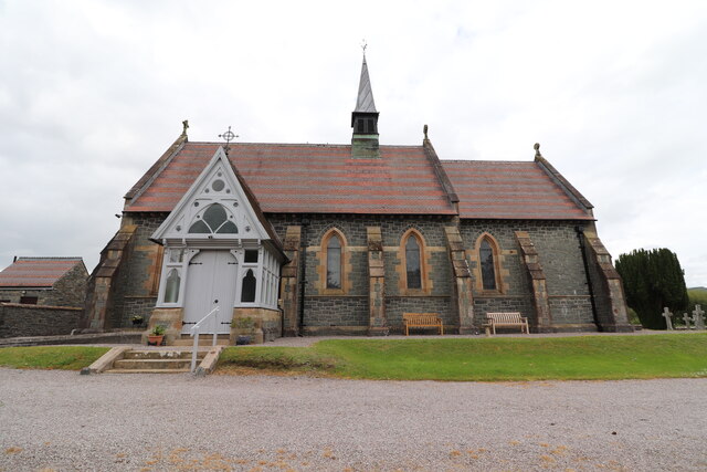
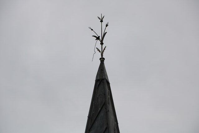
Cairnhill Plantation Images
Images are sourced within 2km of 54.966274/-4.543844 or Grid Reference NX3766. Thanks to Geograph Open Source API. All images are credited.
Cairnhill Plantation is located at Grid Ref: NX3766 (Lat: 54.966274, Lng: -4.543844)
Unitary Authority: Dumfries and Galloway
Police Authority: Dumfries and Galloway
What 3 Words
///banquets.shop.mammoths. Near Newton Stewart, Dumfries & Galloway
Nearby Locations
Related Wikis

Newton Stewart F.C.
Newton Stewart Football Club are a football club from the town of Newton Stewart in the Dumfries and Galloway area of Scotland. Formed in 1880, as Newton...

Newton Stewart
Newton Stewart (Gd: Baile Ùr nan Stiùbhartach) is a former burgh town in the historical county of Wigtownshire in Dumfries and Galloway, southwest Scotland...

Douglas Ewart High School
Douglas Ewart High School was opened in 1922 in Newton Stewart, Scotland. It was formed by the amalgamation of the Douglas Free School opened in 1834...

Newton Stewart railway station
Newton Stewart railway station served the town of Newton Stewart, Dumfries and Galloway, Scotland from 1861 to 1965 on the Portpatrick and Wigtownshire...

Newton Stewart Hospital
Newton Stewart Hospital is a health facility in Newton Stewart, Dumfries and Galloway, Scotland. It is managed by NHS Dumfries and Galloway. == History... ==
Penninghame
Penninghame in Wigtownshire, Dumfries and Galloway, Scotland, is a civil parish area, 8 miles (N. W.) from Wigtown. The area is approx 16 miles in length...

Minnigaff
Minnigaff is a village and civil parish in the historic county of Kirkcudbrightshire in Dumfries and Galloway, Scotland. Lead was discovered there in...

McMillan Hall, Newton Stewart
The McMillan Hall is a municipal building in Dashwood Square in Newton Stewart, Dumfries and Galloway, Scotland. The structure, which is used as a community...
Nearby Amenities
Located within 500m of 54.966274,-4.543844Have you been to Cairnhill Plantation?
Leave your review of Cairnhill Plantation below (or comments, questions and feedback).