Cairn Hill
Hill, Mountain in Wigtownshire
Scotland
Cairn Hill
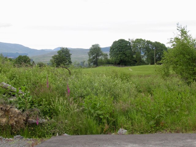
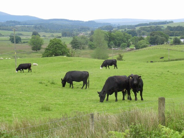
Cairn Hill is a prominent hill located in Wigtownshire, Scotland. It is known for its scenic beauty and is a popular destination for hikers and nature enthusiasts. Situated near the small village of Cairnryan, the hill offers breathtaking views of the surrounding countryside and the Irish Sea.
With an elevation of approximately 270 meters (886 feet), Cairn Hill provides a relatively easy hike for visitors of all skill levels. The trail to the summit is well-marked and maintained, making it accessible to both experienced hikers and those seeking a leisurely stroll. Along the way, walkers can appreciate the diverse flora and fauna that inhabit the hillside, including heather, gorse, and various bird species.
The summit of Cairn Hill offers a panoramic vista, allowing visitors to see as far as the Isle of Man on clear days. It is a perfect spot for photography enthusiasts, who can capture the stunning landscape and the ever-changing colors of the sky. Additionally, the hill is an excellent location for stargazing, as it provides a relatively dark and unobstructed view of the night sky.
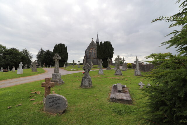
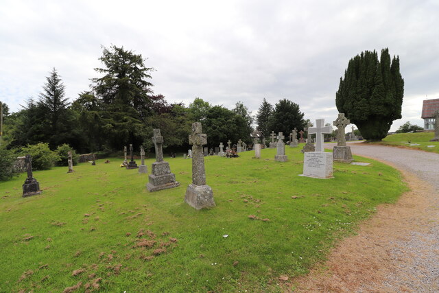
Cairn Hill is also of historical significance, as it is home to several ancient burial cairns. These cairns, dating back thousands of years, serve as reminders of the hill's long-standing importance to the local community.
Overall, Cairn Hill in Wigtownshire offers a rewarding outdoor experience with its natural beauty, panoramic views, and historical significance. Whether it is for a leisurely walk or a challenging hike, visitors are sure to be captivated by the allure of this picturesque hill.
If you have any feedback on the listing, please let us know in the comments section below.
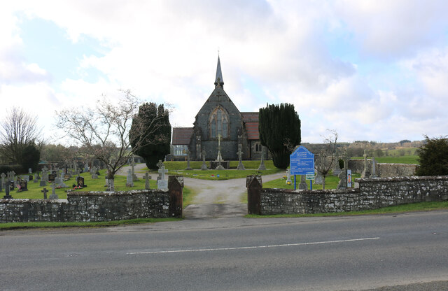
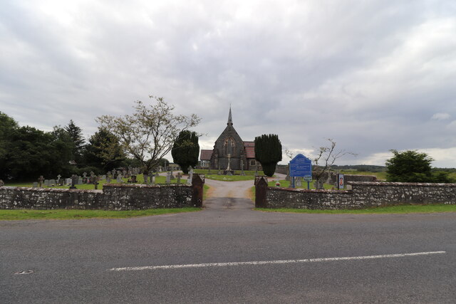
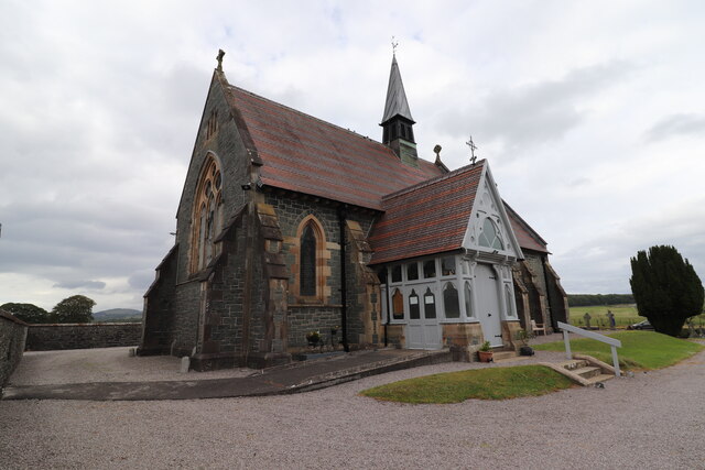
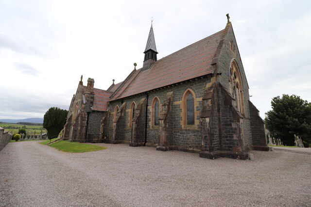
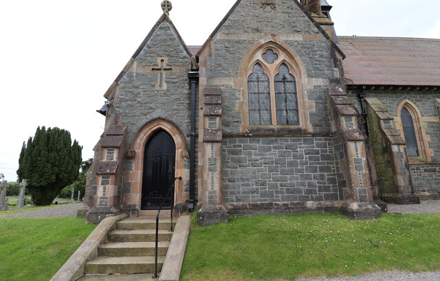
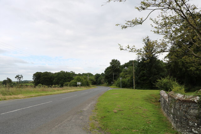
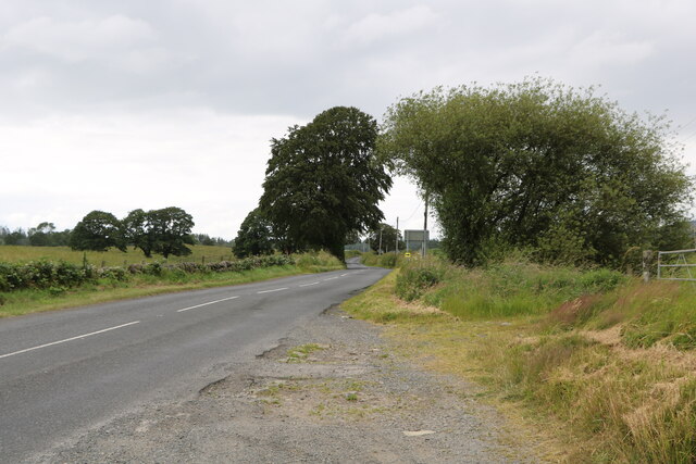
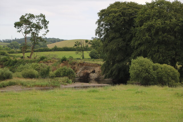
Cairn Hill Images
Images are sourced within 2km of 54.965412/-4.5442426 or Grid Reference NX3766. Thanks to Geograph Open Source API. All images are credited.
Cairn Hill is located at Grid Ref: NX3766 (Lat: 54.965412, Lng: -4.5442426)
Unitary Authority: Dumfries and Galloway
Police Authority: Dumfries and Galloway
What 3 Words
///training.riches.completed. Near Newton Stewart, Dumfries & Galloway
Nearby Locations
Related Wikis

Newton Stewart F.C.
Newton Stewart Football Club are a football club from the town of Newton Stewart in the Dumfries and Galloway area of Scotland. Formed in 1880, as Newton...

Newton Stewart
Newton Stewart (Gd: Baile Ùr nan Stiùbhartach) is a former burgh town in the historical county of Wigtownshire in Dumfries and Galloway, southwest Scotland...

Douglas Ewart High School
Douglas Ewart High School was opened in 1922 in Newton Stewart, Scotland. It was formed by the amalgamation of the Douglas Free School opened in 1834...

Newton Stewart railway station
Newton Stewart railway station served the town of Newton Stewart, Dumfries and Galloway, Scotland from 1861 to 1965 on the Portpatrick and Wigtownshire...

Newton Stewart Hospital
Newton Stewart Hospital is a health facility in Newton Stewart, Dumfries and Galloway, Scotland. It is managed by NHS Dumfries and Galloway. == History... ==
Penninghame
Penninghame in Wigtownshire, Dumfries and Galloway, Scotland, is a civil parish area, 8 miles (N. W.) from Wigtown. The area is approx 16 miles in length...

Minnigaff
Minnigaff is a village and civil parish in the historic county of Kirkcudbrightshire in Dumfries and Galloway, Scotland. Lead was discovered there in...

McMillan Hall, Newton Stewart
The McMillan Hall is a municipal building in Dashwood Square in Newton Stewart, Dumfries and Galloway, Scotland. The structure, which is used as a community...
Nearby Amenities
Located within 500m of 54.965412,-4.5442426Have you been to Cairn Hill?
Leave your review of Cairn Hill below (or comments, questions and feedback).