Fell Wood
Wood, Forest in Wigtownshire
Scotland
Fell Wood

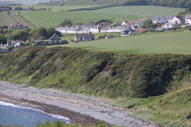
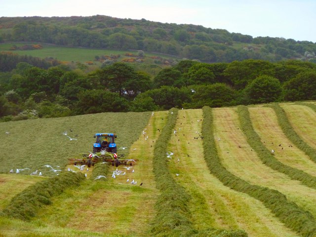
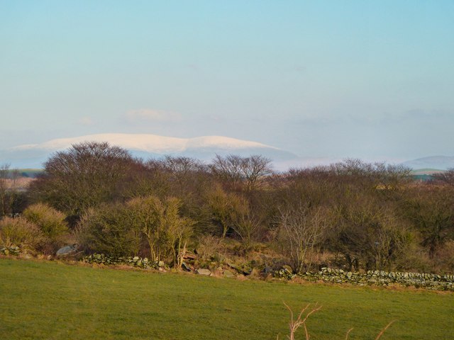
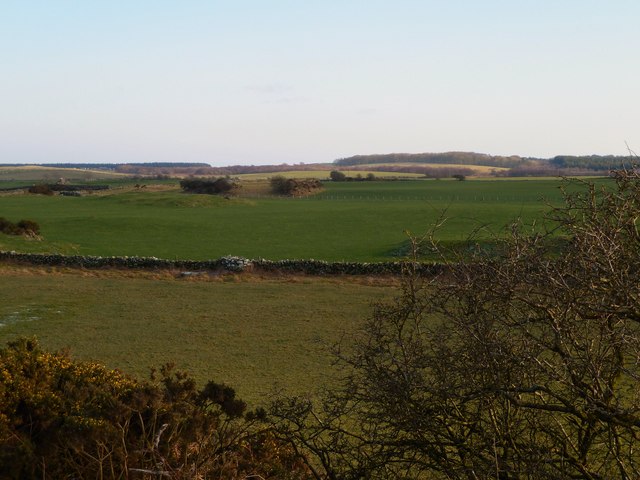
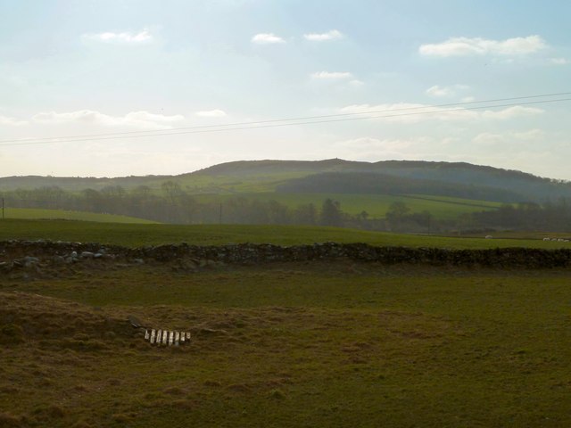
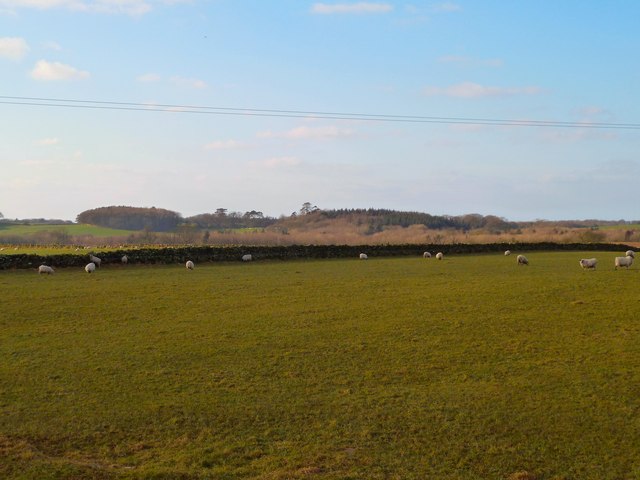
Fell Wood is a picturesque forest located in Wigtownshire, a region in southwestern Scotland. Spanning approximately 100 acres, this woodland is renowned for its natural beauty and diverse wildlife. It is situated in a rural area, surrounded by rolling hills and meandering streams, creating a tranquil and serene atmosphere.
The wood consists primarily of deciduous trees, such as oak, beech, and birch, which provide a vibrant display of colors throughout the seasons. The dense foliage creates a canopy that filters the sunlight, casting dappled shadows on the forest floor. Numerous walking trails crisscross the wood, allowing visitors to explore the area and enjoy its peaceful ambiance.
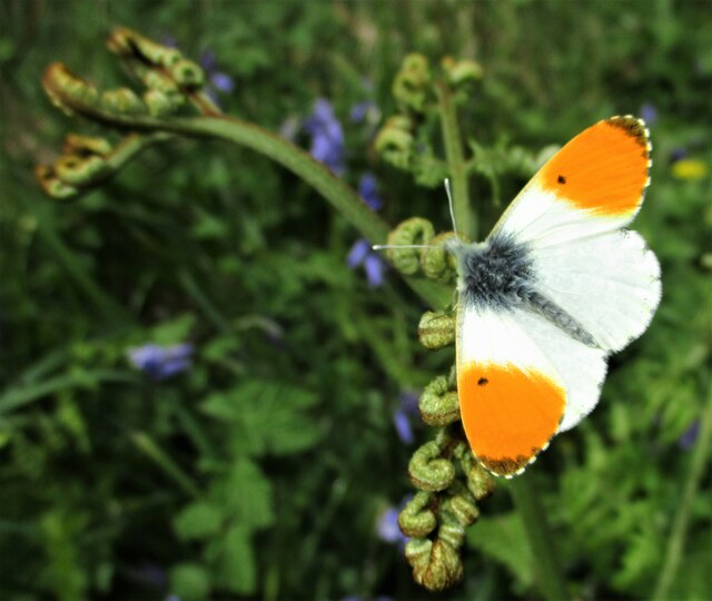
Fell Wood is home to a variety of wildlife, including red squirrels, roe deer, and a wide range of bird species. Birdwatchers are particularly drawn to this location due to the diverse avian population, which includes woodpeckers, owls, and songbirds. The forest also supports a rich ecosystem of flora and fauna, with an array of wildflowers, fungi, and ferns.
The wood has historical significance as well, with remnants of ancient settlements and stone circles scattered throughout the area. Archaeological excavations have unearthed artifacts that provide insight into the lives of the people who once inhabited this region.
Overall, Fell Wood offers visitors a chance to immerse themselves in nature, with its tranquil environment, scenic beauty, and abundant wildlife. Whether it's a leisurely stroll, birdwatching, or exploring its historical past, this forest provides a rejuvenating experience for all who venture into its welcoming embrace.
If you have any feedback on the listing, please let us know in the comments section below.
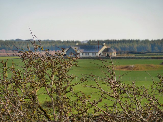
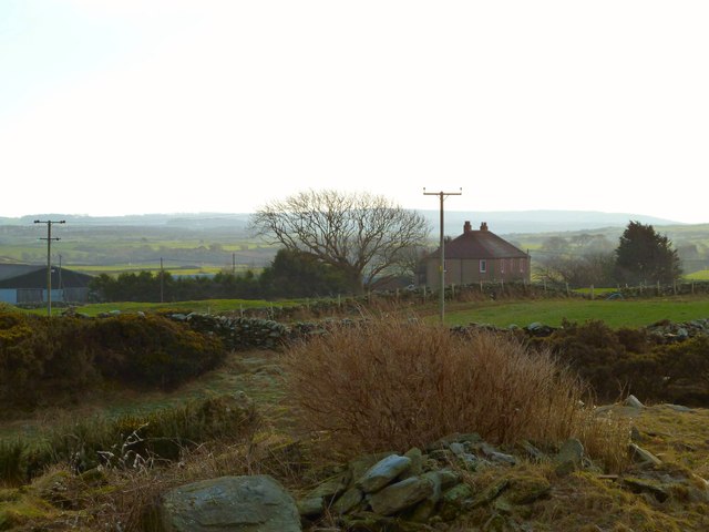
Fell Wood Images
Images are sourced within 2km of 54.750022/-4.5307267 or Grid Reference NX3742. Thanks to Geograph Open Source API. All images are credited.


Fell Wood is located at Grid Ref: NX3742 (Lat: 54.750022, Lng: -4.5307267)
Unitary Authority: Dumfries and Galloway
Police Authority: Dumfries and Galloway
What 3 Words
///material.remark.slopes. Near Whithorn, Dumfries & Galloway
Nearby Locations
Related Wikis

Wren's Egg
The Wren's Egg (grid reference NX 3610 4199) is the name given to a set of late Neolithic or Bronze Age stone monuments in the parish of Glasserton, Wigtownshire...

Monreith House
Monreith House is a category A listed Georgian mansion located 1.5 kilometres (0.93 mi) east of the village of Port William in Mochrum parish in the historical...

Drumtroddan standing stones
The Drumtroddan standing stones (grid reference NX 36449 44300) are a small Neolithic or Bronze Age stone alignment in the parish of Mochrum, Wigtownshire...

Monreith
Monreith ([mɒn'ri:θ] / 'mon-REETH'; Scottish Gaelic: Am Monadh Rèidh) is a small seaside village in the Machars, in the historical county of Wigtownshire...

Port William, Dumfries and Galloway
Port William (Scottish Gaelic: Cill na Tràghad) is a fishing village in the parish of Mochrum in the historical county of Wigtownshire, Dumfries and Galloway...
Mochrum
Mochrum () is a coastal civil and Church of Scotland parish situated to the east of Luce Bay on the Machars peninsula and 8 miles (13 km) southwest of...
Glasserton
Glasserton is a civil parish in Dumfries and Galloway, south-west Scotland. It is on the Machars peninsula, in the traditional county of Wigtownshire....
Rispain Camp
Rispain Camp is the remains of a fortified farmstead 1 mile west of Whithorn, Dumfries and Galloway, Scotland. It is one of the major Iron Age archaeological...
Have you been to Fell Wood?
Leave your review of Fell Wood below (or comments, questions and feedback).