Spectacle Wood

Downs, Moorland in Wigtownshire

Scotland

Spectacle Wood

Monreith Burn Looking upstream from the Monreith to Blairbuy Bridge track.
Monreith Burn Credit: Jon Alexander

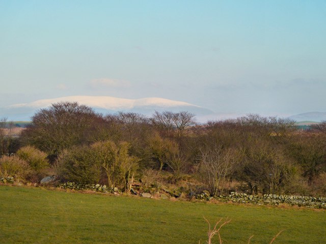
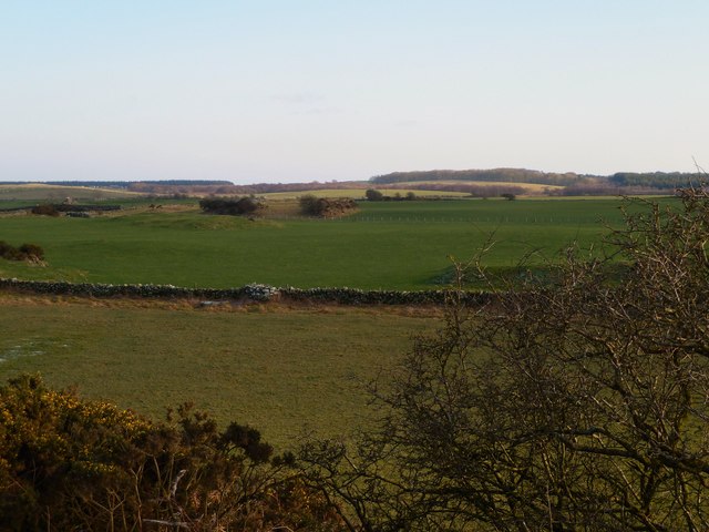
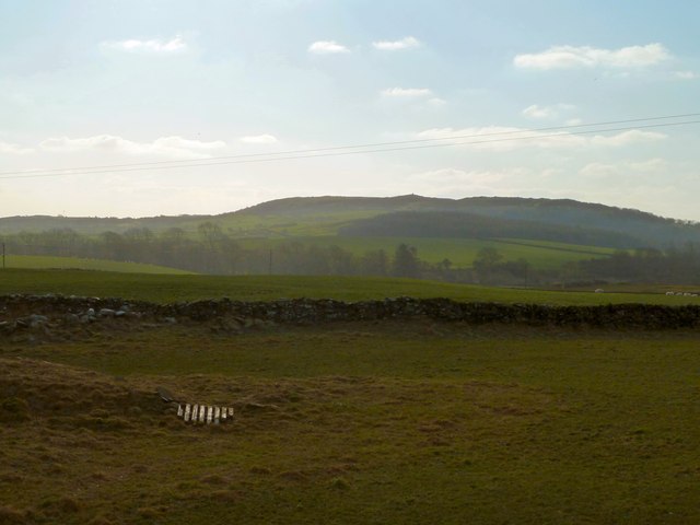
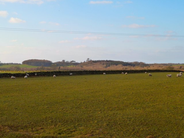
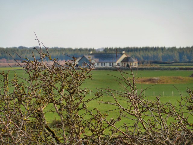
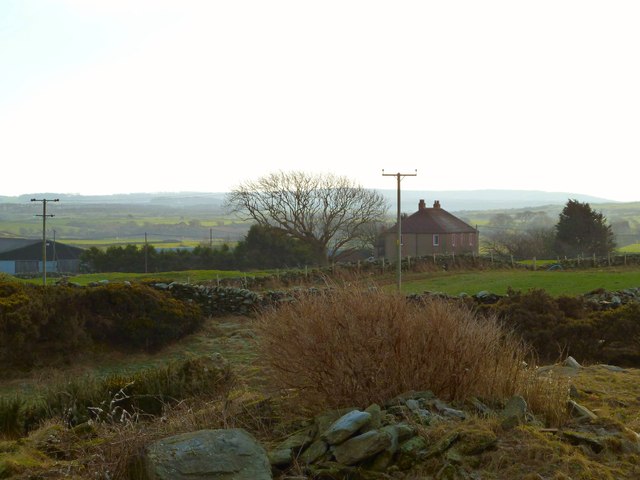
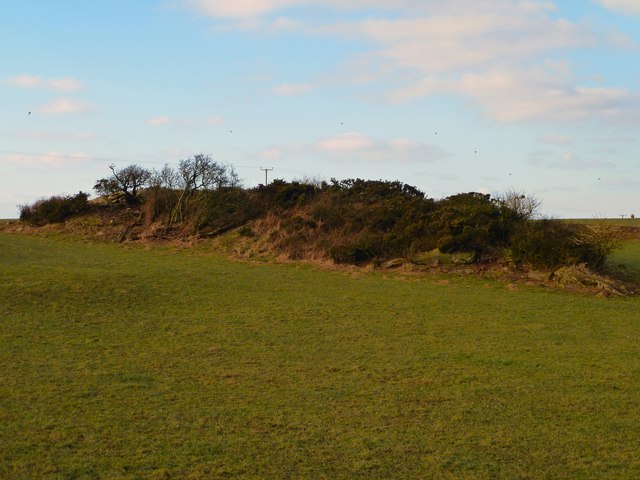
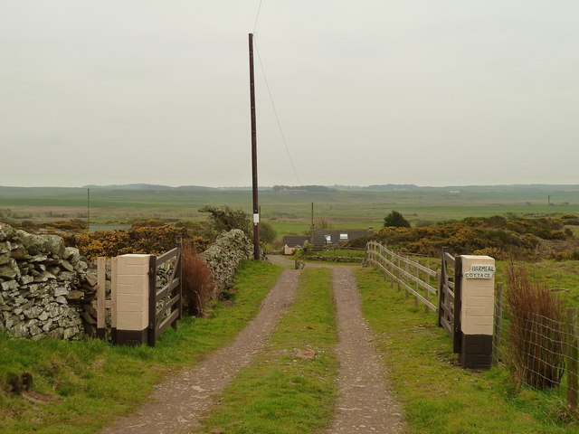
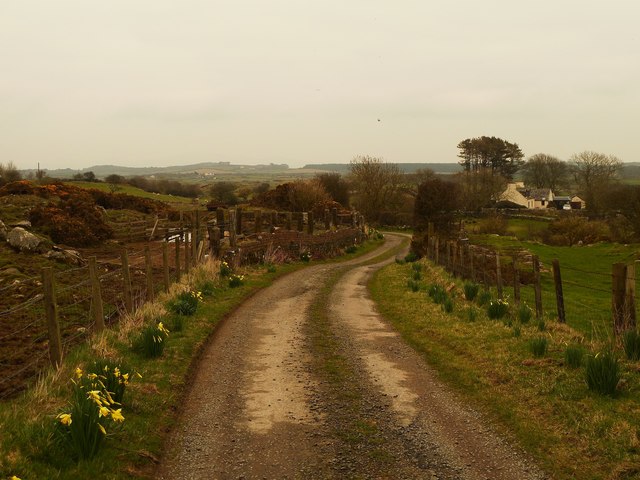
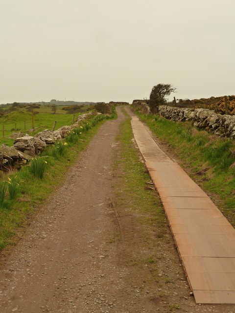
Spectacle Wood is a picturesque natural area located in Wigtownshire, a historic county in southwest Scotland. Situated amidst the stunning landscape of Downs and Moorland, this wood offers a tranquil and idyllic setting for nature enthusiasts and outdoor lovers.

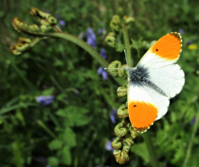
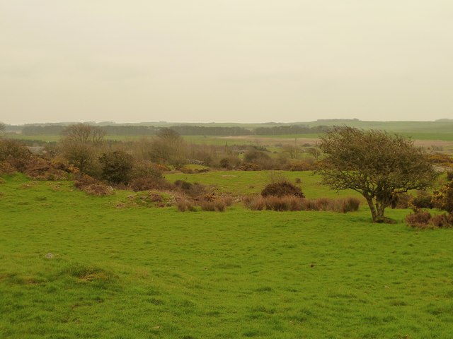
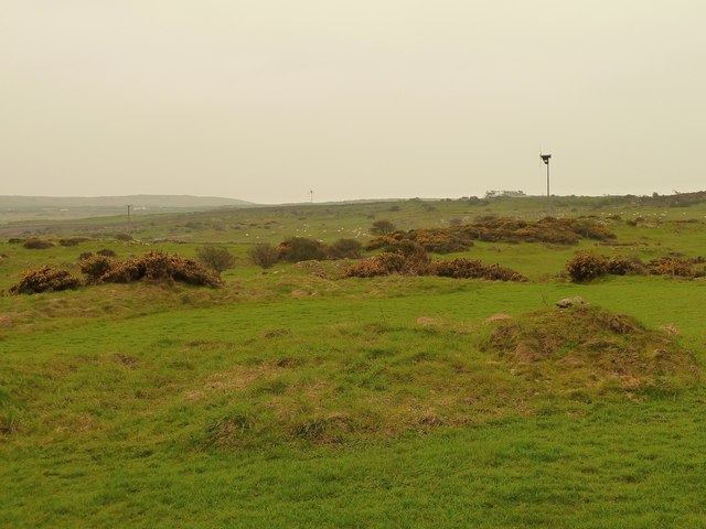
Covering an area of approximately 50 acres, Spectacle Wood is characterized by its diverse range of flora and fauna. The wood is predominantly composed of broadleaf trees, including oak, birch, and beech, which create a lush and vibrant canopy. The undergrowth is rich with species such as bluebells, ferns, and wildflowers, adding to the wood's natural beauty.

The wood is crisscrossed by a network of well-maintained trails, making it easily accessible for visitors. These paths provide an opportunity to explore the wood and discover its hidden treasures. As one ventures deeper into the wood, they may encounter a small stream meandering through the trees, adding a touch of serenity to the surroundings. The wood is also home to a variety of wildlife, including deer, foxes, and a multitude of bird species, making it a haven for birdwatchers and wildlife enthusiasts.

Spectacle Wood offers a peaceful retreat from the hustle and bustle of daily life. Whether it is a leisurely stroll, a picnic among the trees, or simply sitting back and immersing oneself in the natural serenity, this wood provides a soothing and refreshing experience. With its breathtaking scenery and abundant biodiversity, Spectacle Wood is a true gem of Wigtownshire, one that continues to captivate visitors with its natural charm.

If you have any feedback on the listing, please let us know in the comments section below.

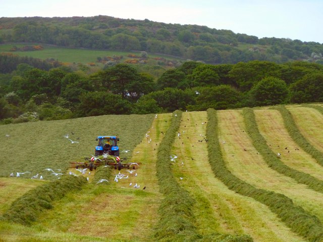
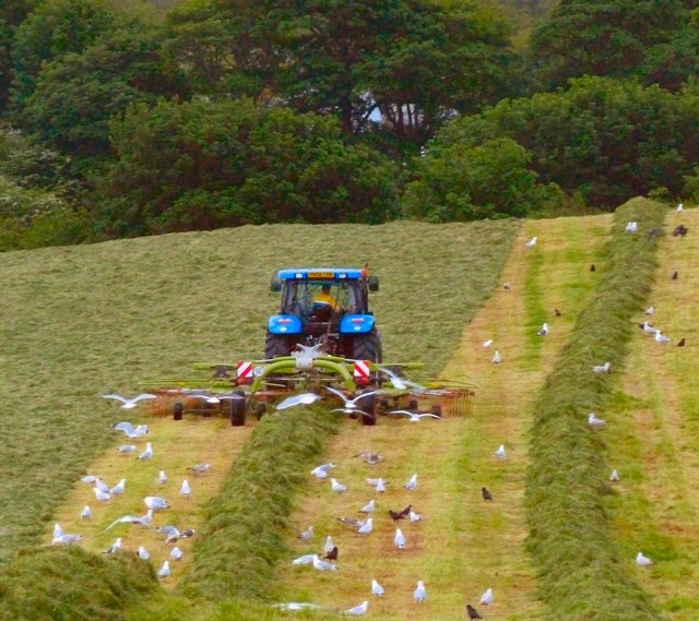
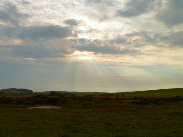
Spectacle Wood Images

Images are sourced within 2km of 54.751815/-4.5283675 or Grid Reference NX3742. Thanks to Geograph Open Source API. All images are credited.

Monreith Burn Looking upstream from the Monreith to Blairbuy Bridge track.
Monreith Burn
Looking upstream from the Monreith to Blairbuy Bridge track.
Hart's-tongue Fern A clump of Hart's-tongue fern unfurling beside the track between Blairbuy Bridge and Monreith. Originally called Phyllitis scolopendrium, it has been renamed and it now has the scientific name of Asplenium scolopendrium.
Hart's-tongue Fern
A clump of Hart's-tongue fern unfurling beside the track between Blairbuy Bridge and Monreith. Originally called Phyllitis scolopendrium, it has been renamed and it now has the scientific name of Asplenium scolopendrium.
Orange-tip Butterfly An Orange-tip butterfly (Anthocharis cardamines) resting on a fern frond beside the track between Blairbuy Bridge and Monreith.
Orange-tip Butterfly
An Orange-tip butterfly (Anthocharis cardamines) resting on a fern frond beside the track between Blairbuy Bridge and Monreith.
Big Balcraig Late evening and the fields near Big Balcraig are being cut for silage.
Big Balcraig
Late evening and the fields near Big Balcraig are being cut for silage.
Working the Fields Late evening near Big Balcraig Farm and work goes on to bring in the silage.
Working the Fields
Late evening near Big Balcraig Farm and work goes on to bring in the silage.
West Drumrae View from fields at the side of West Drumrae Farm towards Barwinnock Hill right of picture.
West Drumrae
View from fields at the side of West Drumrae Farm towards Barwinnock Hill right of picture.
Balcraig Moor View east to the snow topped Cairnsmore of Fleet on the horizon taken from one of several rocky outcrops <a href="https://www.geograph.org.uk/photo/2787838">NX3744 : Rocky outcrop</a>.
Balcraig Moor
View east to the snow topped Cairnsmore of Fleet on the horizon taken from one of several rocky outcrops NX3744 : Rocky outcrop.
Balcraig Moor View south from a rocky outcrop on the moor <a href="https://www.geograph.org.uk/photo/2787838">NX3744 : Rocky outcrop</a> towards the Fell of Barhullion.
Balcraig Moor
View south from a rocky outcrop on the moor NX3744 : Rocky outcrop towards the Fell of Barhullion.
Balcraig Moor View west from a small rocky outcrop <a href="https://www.geograph.org.uk/photo/2787838">NX3744 : Rocky outcrop</a> towards Bruntland Plantation.
Balcraig Moor
View west from a small rocky outcrop NX3744 : Rocky outcrop towards Bruntland Plantation.
Balcraig Moor View across to Drumscallan Plantation.
Balcraig Moor
View across to Drumscallan Plantation.
Through the hedge View across open fields towards Barwinnock Cottages <a href="https://www.geograph.org.uk/photo/2068980">NX3843 : Barwinnock Cottages</a>.
Through the hedge
View across open fields towards Barwinnock Cottages NX3843 : Barwinnock Cottages.
Balcraig Moor View across to Big Balcraig Farm.
Balcraig Moor
View across to Big Balcraig Farm.
Rocky outcrop View across to one of several outcrops on Balcraig Moor a couple of which have Cup and Ring marked stones.
Rocky outcrop
View across to one of several outcrops on Balcraig Moor a couple of which have Cup and Ring marked stones.
Barmeal Cottage View along the track to this isolated cottage near Barmeal Farm about 2kms from the A747 coast road, with Craigdhu on the horizon.
Barmeal Cottage
View along the track to this isolated cottage near Barmeal Farm about 2kms from the A747 coast road, with Craigdhu on the horizon.
Barmeal Farm A long track over 2kms leads from the A747 coast road to the farm right of picture and continues to High Barmeal left of picture on the horizon.
Barmeal Farm
A long track over 2kms leads from the A747 coast road to the farm right of picture and continues to High Barmeal left of picture on the horizon.
Track to Barmeal Despite poor weather and heavy rainfall in the Machars the track from the A747 coast road to Barmeal Farm is in good condition, this part being reinforced with metal plates and concrete. As someone who has been up and down many tracks in the Machars this standard of track maintenance was a first for me, farm tracks are usually left to their own devices and only negotiable with a tractor or 4x4. A really pleasant surprise.
Track to Barmeal
Despite poor weather and heavy rainfall in the Machars the track from the A747 coast road to Barmeal Farm is in good condition, this part being reinforced with metal plates and concrete. As someone who has been up and down many tracks in the Machars this standard of track maintenance was a first for me, farm tracks are usually left to their own devices and only negotiable with a tractor or 4x4. A really pleasant surprise.
Barmeal View over the moors towards Craigdhu Wood on the horizon.
Barmeal
View over the moors towards Craigdhu Wood on the horizon.
Barmeal View south over the moors towards Garrarie.
Barmeal
View south over the moors towards Garrarie.
Show me another place!

Spectacle Wood is located at Grid Ref: NX3742 (Lat: 54.751815, Lng: -4.5283675)

Unitary Authority: Dumfries and Galloway

Police Authority: Dumfries and Galloway

What 3 Words

///familiar.replying.riverbed. Near Whithorn, Dumfries & Galloway

Related Wikis

Wren's Egg

The Wren's Egg (grid reference NX 3610 4199) is the name given to a set of late Neolithic or Bronze Age stone monuments in the parish of Glasserton, Wigtownshire...

Monreith House

Monreith House is a category A listed Georgian mansion located 1.5 kilometres (0.93 mi) east of the village of Port William in Mochrum parish in the historical...

Drumtroddan standing stones

The Drumtroddan standing stones (grid reference NX 36449 44300) are a small Neolithic or Bronze Age stone alignment in the parish of Mochrum, Wigtownshire...

Monreith

Monreith ([mɒn'ri:θ] / 'mon-REETH'; Scottish Gaelic: Am Monadh Rèidh) is a small seaside village in the Machars, in the historical county of Wigtownshire...

Port William, Dumfries and Galloway

Port William (Scottish Gaelic: Cill na Tràghad) is a fishing village in the parish of Mochrum in the historical county of Wigtownshire, Dumfries and Galloway...

Mochrum

Mochrum () is a coastal civil and Church of Scotland parish situated to the east of Luce Bay on the Machars peninsula and 8 miles (13 km) southwest of...

Whauphill

Whauphill is a small village located in the historical county of Wigtownshire in the Machars, Dumfries and Galloway, Scotland.Whauphill is a hub that supports...

Rispain Camp

Rispain Camp is the remains of a fortified farmstead 1 mile west of Whithorn, Dumfries and Galloway, Scotland. It is one of the major Iron Age archaeological...

Have you been to Spectacle Wood?

Leave your review of Spectacle Wood below (or comments, questions and feedback).