Barcraig Wood

Wood, Forest in Renfrewshire

Scotland

Barcraig Wood

Access road to Ward House and some mole hills The road is also the start of the Locherwood Community Woodland trails.
Access road to Ward House and some mole hills Credit: wrobison

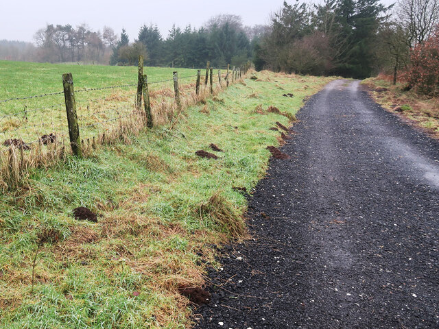
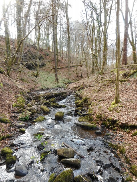
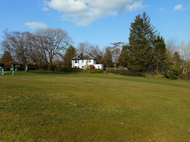
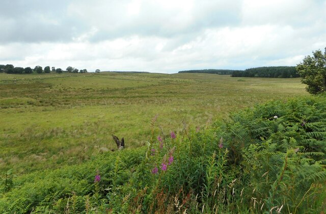
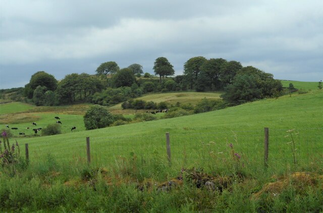
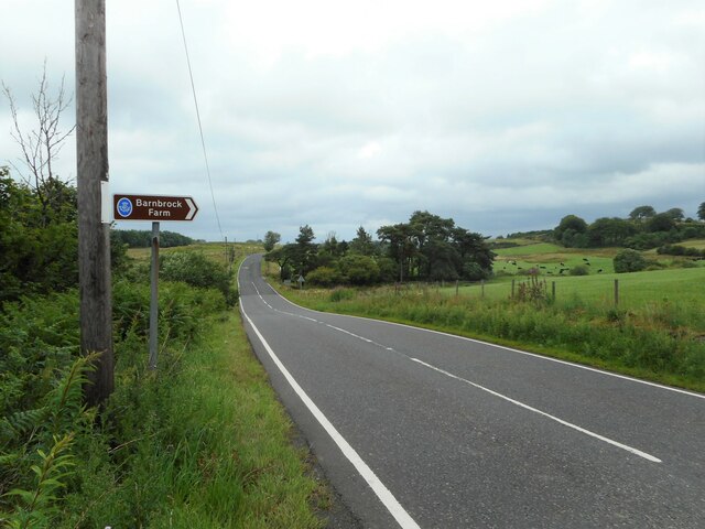
Barcraig Wood, located in Renfrewshire, Scotland, is a picturesque forest that spans an area of approximately 200 acres. The wood is situated near the village of Lochwinnoch and is easily accessible to visitors.

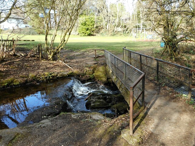
Barcraig Wood is known for its diverse range of flora and fauna, making it a haven for nature enthusiasts and wildlife lovers. The wood is predominantly filled with a variety of deciduous trees including oak, birch, and beech, creating a colorful and vibrant landscape throughout the year. The forest floor is adorned with a carpet of bluebells during springtime, providing a stunning spectacle for visitors.

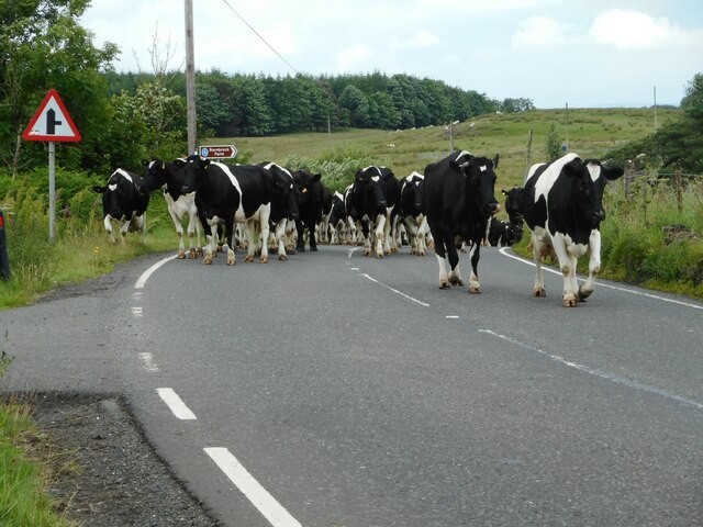
The wood is home to a wide array of wildlife, including red squirrels, roe deer, and a variety of bird species. Birdwatchers flock to Barcraig Wood to catch a glimpse of the native and migratory birds that inhabit the area, such as woodpeckers, nuthatches, and goldcrests.

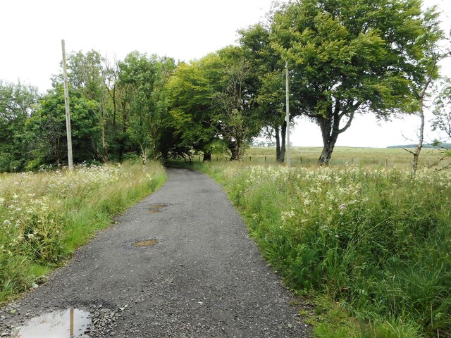
Several walking trails wind through the wood, offering visitors the opportunity to explore the natural beauty of the area. These trails are well-maintained and suitable for all ages and abilities. Along the way, visitors may encounter ancient ruins and stone circles, adding a touch of history to the experience.

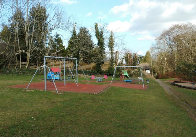
Barcraig Wood is a popular destination for outdoor activities such as hiking, birdwatching, and photography. Its tranquil atmosphere, scenic beauty, and abundant wildlife make it a must-visit location for nature enthusiasts and those seeking a peaceful escape from the hustle and bustle of everyday life.

If you have any feedback on the listing, please let us know in the comments section below.

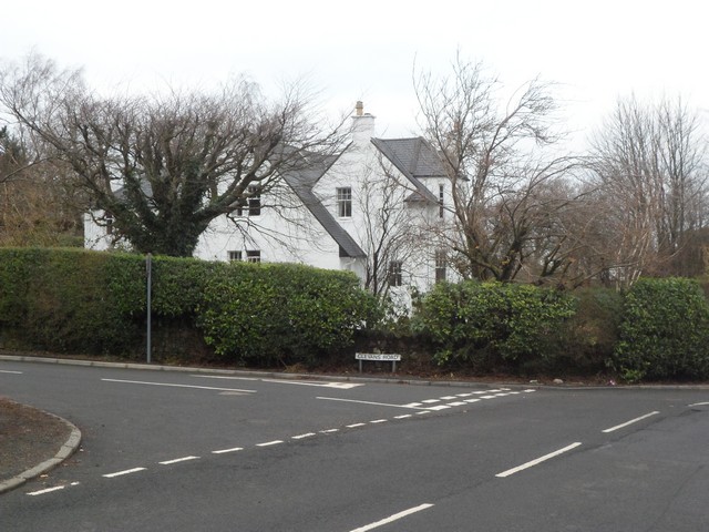
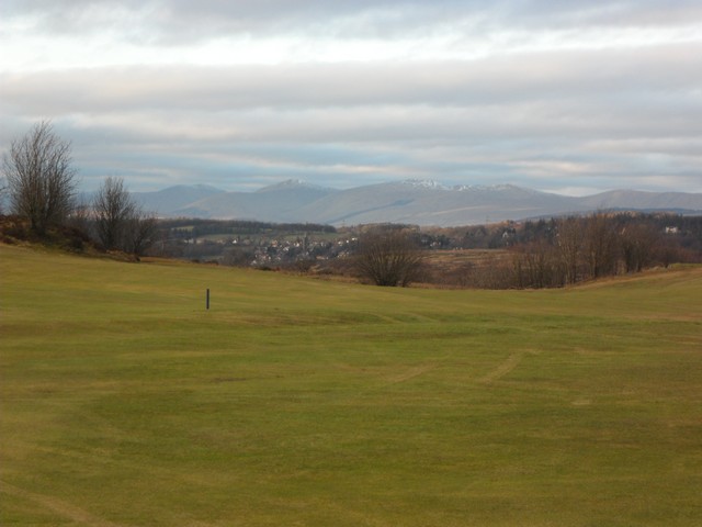
Barcraig Wood Images

Images are sourced within 2km of 55.844154/-4.6044724 or Grid Reference NS3764. Thanks to Geograph Open Source API. All images are credited.

Access road to Ward House and some mole hills The road is also the start of the Locherwood Community Woodland trails.
Access road to Ward House and some mole hills
The road is also the start of the Locherwood Community Woodland trails.
The Pow Burn The gorge of the Pow Burn is light and open at this time of year before the leaves appear on the trees.
The Pow Burn
The gorge of the Pow Burn is light and open at this time of year before the leaves appear on the trees.
Play area In open space off Horsewood Road.
Play area
In open space off Horsewood Road.
House beside a grassy area The house is on Horsewood Road.
House beside a grassy area
The house is on Horsewood Road.
Villa on Horsewood Road One of several large houses in the road.
Villa on Horsewood Road
One of several large houses in the road.
Villa on Horsewood Road One of several large houses in the road.
Villa on Horsewood Road
One of several large houses in the road.
Tigh-An-Rhu An imposing property on Lawmarnock Road.
Tigh-An-Rhu
An imposing property on Lawmarnock Road.
The Cairn Category B listed house <span class="nowrap"><a title="http://portal.historicenvironment.scot/designation/LB12770" rel="nofollow ugc noopener" href="http://portal.historicenvironment.scot/designation/LB12770">Link</a><img style="margin-left:2px;" alt="External link" title="External link - shift click to open in new window" src="https://s1.geograph.org.uk/img/external.png" width="10" height="10"/></span> on Prieston Road.
The Cairn
Category B listed house LinkExternal link on Prieston Road.
Footbridge over the Pow Burn
Here come the cows A herd of cows being driven along the B786, heading for milking.
Here come the cows
A herd of cows being driven along the B786, heading for milking.
There go the cows A herd of cows being driven along the B786, heading for milking.
There go the cows
A herd of cows being driven along the B786, heading for milking.
Sign at the car park The sign for the Locherwood Community Woodland is at the small car park beside the A786.
Sign at the car park
The sign for the Locherwood Community Woodland is at the small car park beside the A786.
Grassland near Ladymuir Seen from the Locherwood Community Woodland car park.
Grassland near Ladymuir
Seen from the Locherwood Community Woodland car park.
Small woodland North of Barnbrock Farm.
Small woodland
North of Barnbrock Farm.
The B786 Approaching the turn off for Barnbrock Farm.
The B786
Approaching the turn off for Barnbrock Farm.
Road to Ward Farm The unmetalled road leads to Ward Farm, but is also the start of some trails around the Locherwood Community Woodland.
Road to Ward Farm
The unmetalled road leads to Ward Farm, but is also the start of some trails around the Locherwood Community Woodland.
Clevans Road, Bridge of Weir
Ranfurly Castle Golf Course With a view to Kilmacolm in the near distance, and in the far distance a stunning view of the Arrochar Alps.
Ranfurly Castle Golf Course
With a view to Kilmacolm in the near distance, and in the far distance a stunning view of the Arrochar Alps.
Show me another place!

Barcraig Wood is located at Grid Ref: NS3764 (Lat: 55.844154, Lng: -4.6044724)

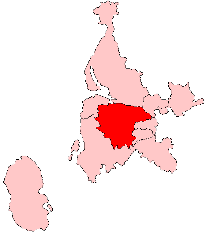
Unitary Authority: Renfrewshire

Police Authority: Renfrewshire and Inverclyde

What 3 Words

///calendars.neat.informal. Near Bridge of Weir, Renfrewshire

Nearby Locations

Barcraig Wood

Related Wikis

Ranfurly, Renfrewshire

Ranfurly (Scottish Gaelic: Rann FeĆ²irling) is a small settlement on the southern edge of the village of Bridge of Weir, which lies within the Gryffe Valley...

Ranfurly Castle

Ranfurly Castle is a ruined 15th century castle, about 0.5 miles (0.80 km) south west of Bridge of Weir, Renfrewshire, Scotland, in Ranfurly golf course...

Bridge of Weir

Bridge of Weir is a village within the Renfrewshire council area and wider historic county of Renfrewshire in the west central Lowlands of Scotland. Lying...

West Renfrewshire (Scottish Parliament constituency)

West Renfrewshire was a constituency of the Scottish Parliament (Holyrood). It elected one Member of the Scottish Parliament (MSP) by the first past the...

Bridge of Weir railway station

Bridge of Weir railway station was a railway station serving the village of Bridge of Weir, Renfrewshire, Scotland, originally as part of the Bridge of...

Gryffe Castle

Gryffe Castle was a castle existing in 1474, probably about 0.5 miles (0.80 km) north of Bridge of Weir, Renfrewshire, Scotland.The present Gryffe Castle...

Quarrier's Village

Quarrier's Village or Quarriers Village is a small settlement in the civil parish of Kilmacolm in Inverclyde council area and the historic county of Renfrewshire...

Kilbarchan

Kilbarchan (; Scottish Gaelic: Cill Bhearchain) is a village and civil parish in central Renfrewshire, in the west central Lowlands of Scotland. The village...

Nearby Amenities

Located within 500m of 55.844154,-4.6044724
Power: pole
Lat/Long: 55.8415602/-4.5981787
Power: pole
Lat/Long: 55.8458866/-4.6111924
Power: pole
Lat/Long: 55.8450469/-4.6107466
Power: pole
Lat/Long: 55.8442001/-4.61028
Power: pole
Lat/Long: 55.8433603/-4.6098446
Power: pole
Lat/Long: 55.8425673/-4.6094134
Power: pole
Lat/Long: 55.8424199/-4.6081447
Power: pole
Lat/Long: 55.8419298/-4.6070781
Power: pole
Lat/Long: 55.8412549/-4.606601
Power: pole
Lat/Long: 55.8407976/-4.605749
Power: pole
Lat/Long: 55.8401694/-4.6046178
Power: pole
Lat/Long: 55.8397144/-4.6038012
The data included in this document is from www.openstreetmap.org. The data is made available under ODbL.

Have you been to Barcraig Wood?

Leave your review of Barcraig Wood below (or comments, questions and feedback).