Knock Wood

Wood, Forest in Wigtownshire

Scotland

Knock Wood

Front Bay, Monreith Viewed from the Gavin Maxwell Otter Memorial. Looking towards St Medan Golf Course.
Front Bay, Monreith Credit: Billy McCrorie

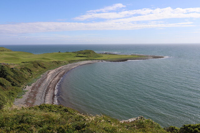
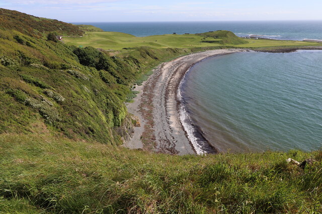
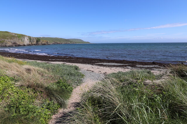
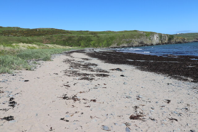
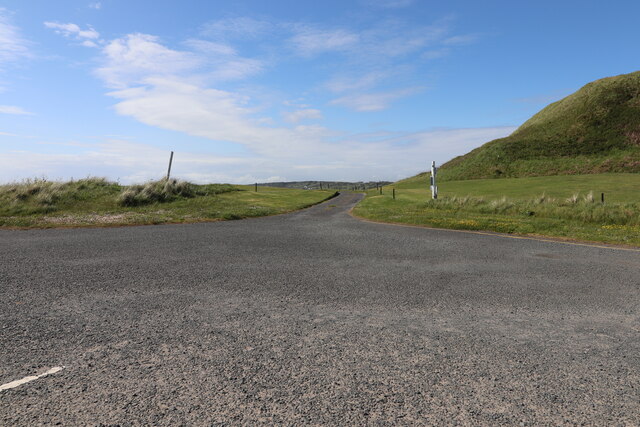
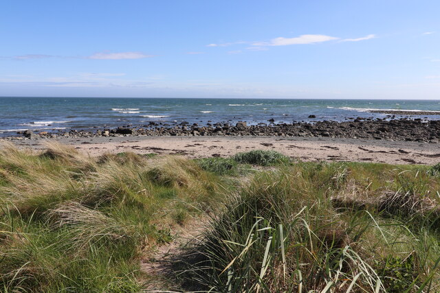
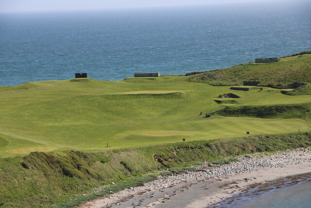
Knock Wood, located in Wigtownshire, is a picturesque forested area renowned for its natural beauty and diverse ecosystem. Spread across an expansive area of land, this woodland is a haven for nature enthusiasts and wildlife lovers alike. The region is characterized by its lush greenery, towering trees, and tranquil atmosphere, offering a serene escape for visitors seeking respite from the hustle and bustle of urban life.

The forest is home to a wide range of flora and fauna, including various species of native and migratory birds, mammals, and plants. Visitors can expect to encounter red squirrels, roe deer, and a plethora of bird species, making it an ideal spot for birdwatching and wildlife photography. The wood boasts an impressive variety of tree species, including oak, beech, and birch, which provide a rich habitat for a diverse range of organisms.

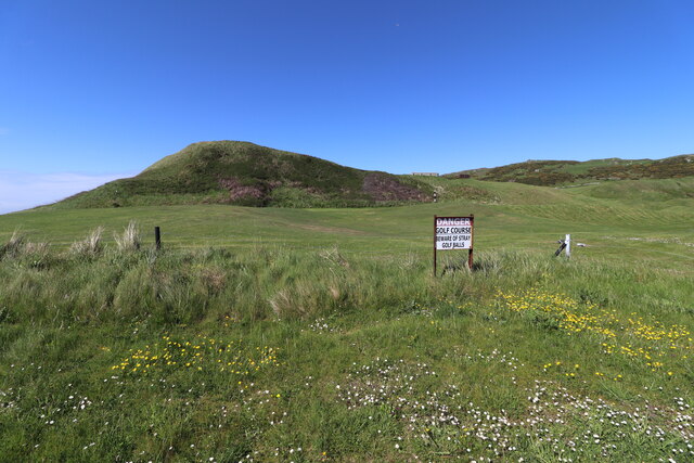
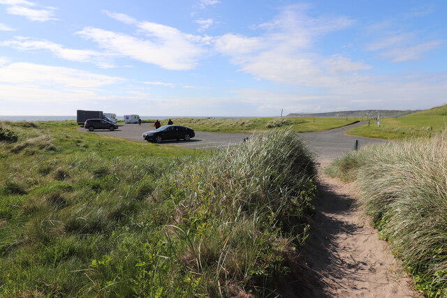
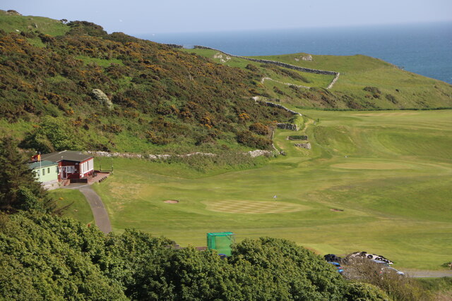
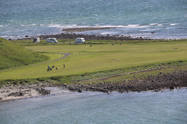
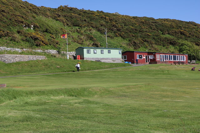
Knock Wood offers several walking trails and paths, allowing visitors to explore the forest at their own pace. These trails are well-maintained and offer breathtaking views of the surrounding landscape, making it an ideal destination for hikers and nature enthusiasts. In addition, the wood provides ample opportunities for recreational activities such as camping, picnicking, and nature photography.

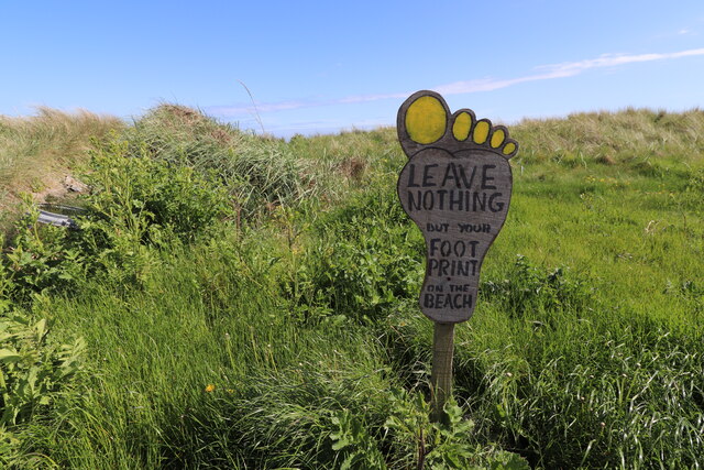
The forest is not only a sanctuary for wildlife but also plays a crucial role in environmental conservation. The dense vegetation helps to regulate the local climate, prevents soil erosion, and serves as a carbon sink, contributing to the reduction of greenhouse gas emissions.

Overall, Knock Wood, Wigtownshire, is a remarkable woodland that offers a captivating blend of natural beauty, biodiversity, and recreational opportunities. It attracts visitors from near and far who seek to immerse themselves in the tranquility of nature and experience the wonders of this enchanting forest.

If you have any feedback on the listing, please let us know in the comments section below.

Knock Wood Images

Images are sourced within 2km of 54.732959/-4.5329091 or Grid Reference NX3740. Thanks to Geograph Open Source API. All images are credited.

Front Bay, Monreith Viewed from the Gavin Maxwell Otter Memorial. Looking towards St Medan Golf Course.
Front Bay, Monreith
Viewed from the Gavin Maxwell Otter Memorial. Looking towards St Medan Golf Course.
Shore at Front Bay, Monreith At Point of Lag looking over St Medan Golf Course. Viewed from the Gavin Maxwell Otter Memorial.
Shore at Front Bay, Monreith
At Point of Lag looking over St Medan Golf Course. Viewed from the Gavin Maxwell Otter Memorial.
Beware of Stray Golf Balls At St Medan Golf Course, viewed from Back Bay Car Park.
Beware of Stray Golf Balls
At St Medan Golf Course, viewed from Back Bay Car Park.
Car Park at Back Bay At Point of Lag, on the left is the toilet block.
Car Park at Back Bay
At Point of Lag, on the left is the toilet block.
Leave Nothing at Back Bay Sign at the car park at Point of Lag.
Leave Nothing at Back Bay
Sign at the car park at Point of Lag.
Back Bay near Monreith
Back Bay Car Park At Point of Lag near Monreith.
Back Bay Car Park
At Point of Lag near Monreith.
Shore at Back Bay Near Monreith.
Shore at Back Bay
Near Monreith.
Exit Road from Back Bay Car Park Road passes through St. Medan Golf Course.
Exit Road from Back Bay Car Park
Road passes through St. Medan Golf Course.
Rocks at Back Bay At Point of Lag near Monreith.
Rocks at Back Bay
At Point of Lag near Monreith.
St. Medan Golf Course With Clubhouse, viewed from Gavin Maxwell Otter Memorial.
St. Medan Golf Course
With Clubhouse, viewed from Gavin Maxwell Otter Memorial.
St. Medan Golf Course Near Monreith, vehicles are in a car park at Back Bay.
St. Medan Golf Course
Near Monreith, vehicles are in a car park at Back Bay.
St. Medan Golf Course Viewed from the Gavin Maxwell Otter Memorial near Monreith.
St. Medan Golf Course
Viewed from the Gavin Maxwell Otter Memorial near Monreith.
St. Medan Clubhouse Golf Course near Monreith.
St. Medan Clubhouse
Golf Course near Monreith.
St. Medan Golf Club Flag Golf Course near Monreith.
St. Medan Golf Club Flag
Golf Course near Monreith.
Rocky ground, Cairndoon A lot of land around Burrow Head is very rocky.
Rocky ground, Cairndoon
A lot of land around Burrow Head is very rocky.
View of the Scares Along with the Mull of Galloway, seen from the A747.
View of the Scares
Along with the Mull of Galloway, seen from the A747.
Rocky farmland, Garrarie
Show me another place!

Knock Wood is located at Grid Ref: NX3740 (Lat: 54.732959, Lng: -4.5329091)

Unitary Authority: Dumfries and Galloway

Police Authority: Dumfries and Galloway

What 3 Words

///handlebar.news.fried. Near Whithorn, Dumfries & Galloway

Nearby Locations

Knock Wood

Related Wikis

Monreith

Monreith ([mɒn'ri:θ] / 'mon-REETH'; Scottish Gaelic: Am Monadh Rèidh) is a small seaside village in the Machars, in the historical county of Wigtownshire...

Wren's Egg

The Wren's Egg (grid reference NX 3610 4199) is the name given to a set of late Neolithic or Bronze Age stone monuments in the parish of Glasserton, Wigtownshire...

Monreith House

Monreith House is a category A listed Georgian mansion located 1.5 kilometres (0.93 mi) east of the village of Port William in Mochrum parish in the historical...

Drumtroddan standing stones

The Drumtroddan standing stones (grid reference NX 36449 44300) are a small Neolithic or Bronze Age stone alignment in the parish of Mochrum, Wigtownshire...

Nearby Amenities

Located within 500m of 54.732959,-4.5329091
Power: pole
Lat/Long: 54.7353989/-4.5393668
Power: pole
Lat/Long: 54.7347571/-4.5389611
Power: pole
Lat/Long: 54.7342581/-4.5386261
Power: pole
Lat/Long: 54.7335046/-4.5349151
Power: pole
Lat/Long: 54.7335302/-4.5355977
Power: pole
Lat/Long: 54.7335571/-4.5362993
Power: pole
Lat/Long: 54.7335705/-4.5369883
Power: pole
Lat/Long: 54.7307603/-4.5291013
Power: pole
Lat/Long: 54.7306541/-4.5289914
Power: pole
Lat/Long: 54.7303247/-4.5289597
Power: pole
Lat/Long: 54.7303893/-4.5282877
Power: pole
Lat/Long: 54.7304625/-4.5276093
Power: pole
Lat/Long: 54.7305467/-4.526931
Power: pole
Lat/Long: 54.7306102/-4.5263794
Power: pole
Lat/Long: 54.7327798/-4.5253248
Power: pole
Lat/Long: 54.7321319/-4.5262716
Power: pole
Lat/Long: 54.7315474/-4.5271486
Power: pole
Lat/Long: 54.7309067/-4.5280869
Power: pole
Lat/Long: 54.729756/-4.5297903
Power: pole
Lat/Long: 54.7294863/-4.5308279
Power: pole
Lat/Long: 54.7292008/-4.5319564
Power: pole
Lat/Long: 54.7289396/-4.5329391
Power: pole
Lat/Long: 54.7361963/-4.5371806
Power: pole
Lat/Long: 54.7361194/-4.5358407
Power: pole
Lat/Long: 54.7360425/-4.5344037
Power: pole
Lat/Long: 54.7359791/-4.5332646
Power: pole
Lat/Long: 54.735901/-4.5315718
Power: pole
Lat/Long: 54.735829/-4.5301009
Power: pole
Lat/Long: 54.7353715/-4.5290548
Power: pole
Lat/Long: 54.7349371/-4.5280679
Power: pole
Lat/Long: 54.7343441/-4.5266795
Power: pole
Lat/Long: 54.7351628/-4.5281377
Power: pole
Lat/Long: 54.7353568/-4.5273705
Power: pole
Lat/Long: 54.7338194/-4.5254939
The data included in this document is from www.openstreetmap.org. The data is made available under ODbL.

Have you been to Knock Wood?

Leave your review of Knock Wood below (or comments, questions and feedback).