Asylum Brae
Wood, Forest in Ayrshire
Scotland
Asylum Brae
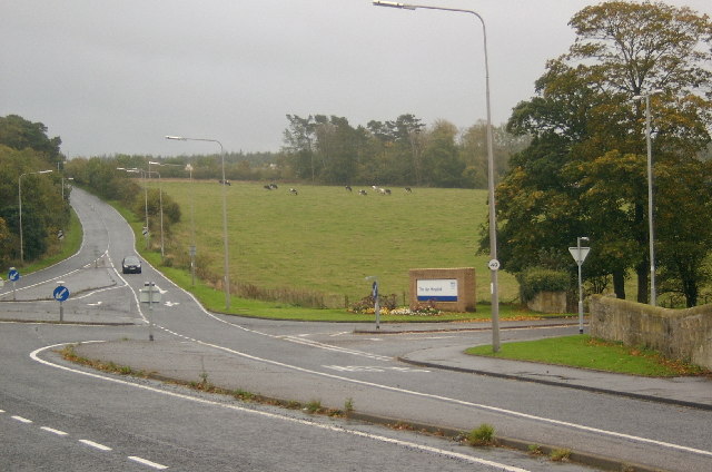
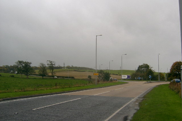
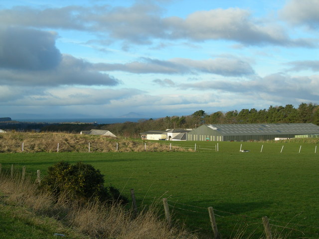
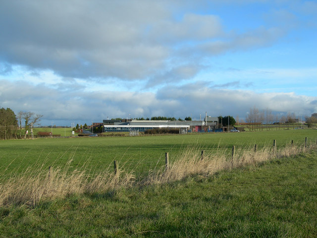
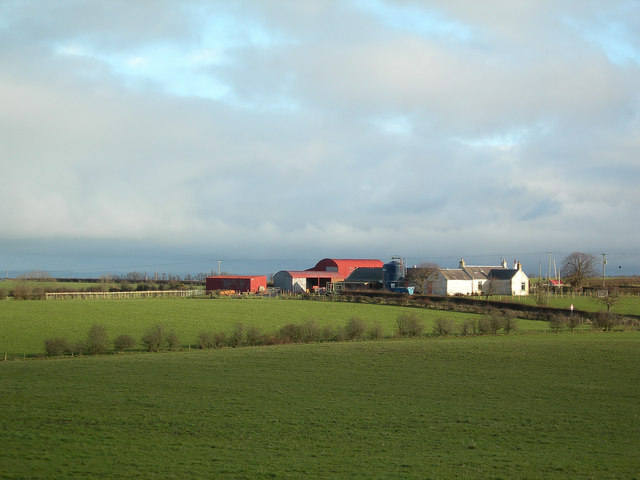
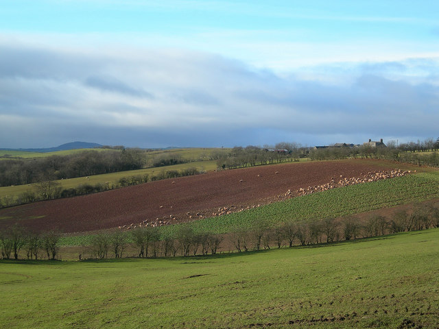
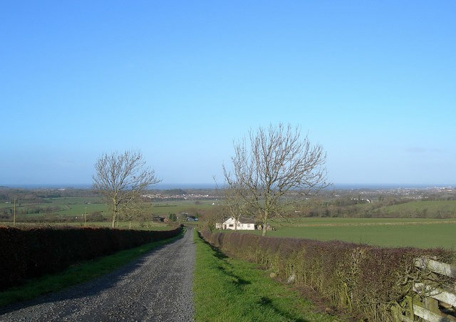
Asylum Brae is a picturesque woodland located in Ayrshire, Scotland. Spanning over a vast area, this forested landscape is renowned for its natural beauty and tranquility. The name "Asylum Brae" is derived from the fact that it was once part of the grounds of the Ayr County Asylum, a mental health institution that operated from the mid-19th century until the early 20th century.
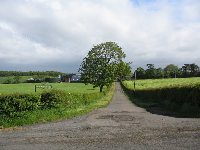
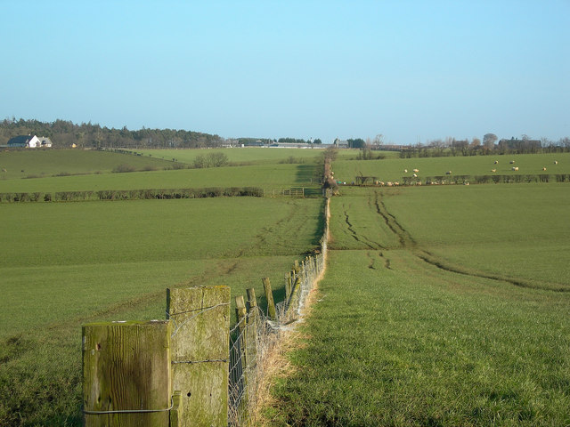
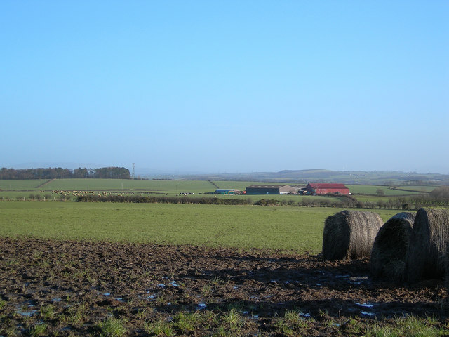
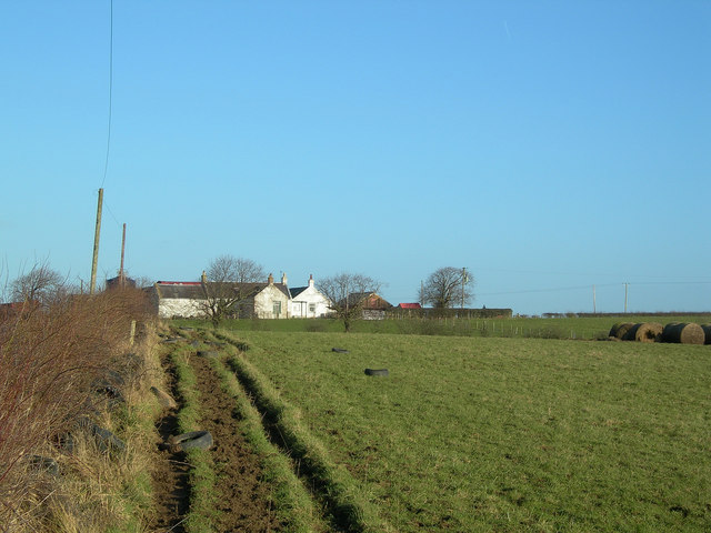
The woodland is characterized by a diverse range of tree species, including oak, birch, beech, and conifers. The dense canopy of trees provides a shady respite, especially during the hot summer months. Asylum Brae is home to an array of wildlife, with sightings of deer, squirrels, and numerous bird species being common.
The forest boasts several well-maintained walking trails, making it a popular destination for nature enthusiasts and hikers. These trails wind through the woodland, offering visitors the opportunity to immerse themselves in the serenity of nature. Along the way, there are strategically placed benches where visitors can rest and soak in the breathtaking views.
The forest also holds historical significance, with remnants of the asylum's infrastructure still visible. The most notable is the impressive Victorian-era boundary wall, which stands as a testament to the site's past. Additionally, there are information boards scattered throughout the woodland, providing visitors with insight into the history and natural features of Asylum Brae.
Overall, Asylum Brae in Ayrshire is a captivating woodland that combines natural beauty, historical significance, and recreational opportunities. It offers an escape from the hustle and bustle of everyday life, providing visitors with a chance to reconnect with nature and enjoy the tranquility of this enchanting forest.
If you have any feedback on the listing, please let us know in the comments section below.
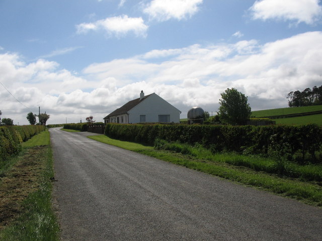
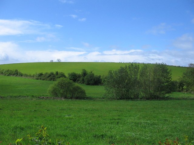
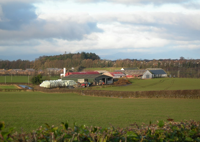
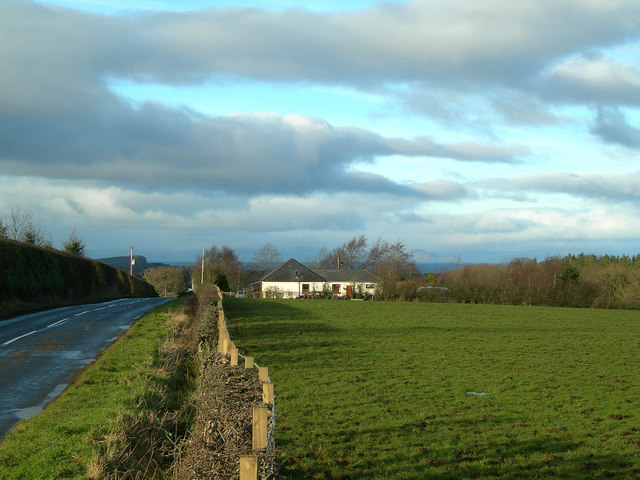
Asylum Brae Images
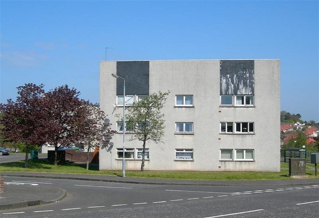
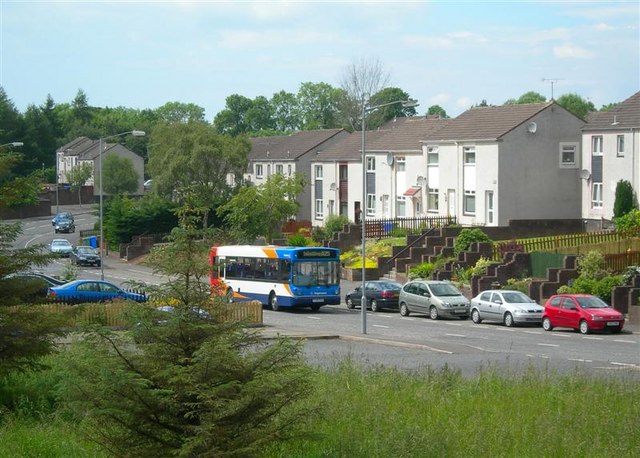
Images are sourced within 2km of 55.431958/-4.5840305 or Grid Reference NS3618. Thanks to Geograph Open Source API. All images are credited.
Asylum Brae is located at Grid Ref: NS3618 (Lat: 55.431958, Lng: -4.5840305)
Unitary Authority: South Ayrshire
Police Authority: Ayrshire
What 3 Words
///joke.insert.cubs. Near Dalrymple, East Ayrshire
Nearby Locations
Related Wikis

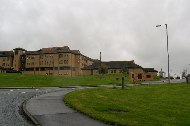
University Hospital Ayr
University Hospital Ayr is a general hospital on the outskirts of Ayr, Scotland. It covers a catchment area of approximately 100,000 people in South Ayrshire...

Ailsa Hospital
Ailsa Hospital is a mental health facility located in the southeastern outskirts of Ayr, South Ayrshire, Scotland. It is managed by NHS Ayrshire and Arran...

Kyle and Carrick
Kyle and Carrick (Scottish Gaelic: A' Chùil agus a' Charraig) was one of nineteen local government districts in the Strathclyde region of Scotland from...
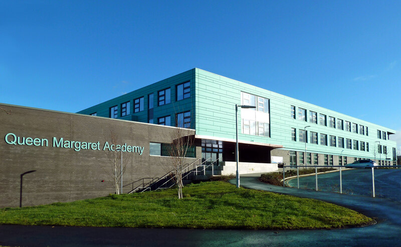
Queen Margaret Academy
Queen Margaret Academy (Scottish Gaelic: àrd-sgoil/Acadamh banrigh Maighread) is a Roman Catholic secondary school in the south of Ayr in southwest Scotland...
Nearby Amenities
Located within 500m of 55.431958,-4.5840305Have you been to Asylum Brae?
Leave your review of Asylum Brae below (or comments, questions and feedback).