Horsepark Wood
Wood, Forest in Ayrshire
Scotland
Horsepark Wood
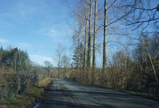
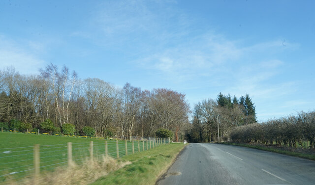
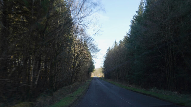
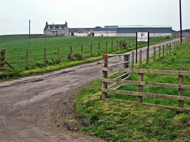
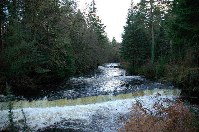
Horsepark Wood is a picturesque woodland located in Ayrshire, Scotland. Covering an area of approximately 50 hectares, it is a haven for nature enthusiasts and visitors seeking tranquility and natural beauty. The wood is situated near the village of Drongan, just a few miles from the town of Ayr.
The wood is primarily composed of native broadleaf trees, including oak, birch, and ash, creating a diverse and vibrant ecosystem. It is home to a variety of wildlife, including birds, insects, small mammals, and even deer. The rich plant life within the wood provides ample food and shelter for these creatures.
Horsepark Wood offers several walking trails, allowing visitors to explore its beauty at their own pace. As they wander through the wood, visitors can admire the stunning displays of wildflowers that bloom throughout the seasons, adding bursts of color to the landscape.
The wood is managed by the local council and is well-maintained, ensuring that visitors can enjoy the woodland in a safe and organized environment. There are designated picnic areas and benches scattered throughout the wood, perfect for those looking to relax and soak up the peaceful atmosphere.
Horsepark Wood is not only a natural retreat but also a valuable educational resource. Schools and community groups often visit the wood to learn about the native flora and fauna, as well as the importance of conservation and environmental stewardship.
Overall, Horsepark Wood is a hidden gem in Ayrshire, offering a sanctuary of nature and a place of respite for all who visit.
If you have any feedback on the listing, please let us know in the comments section below.
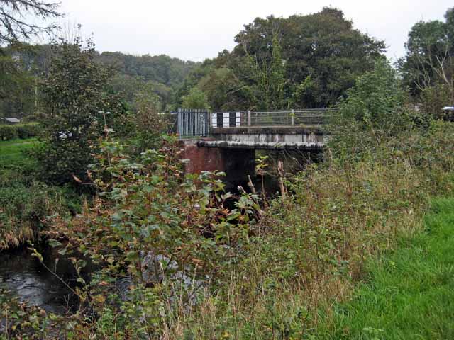
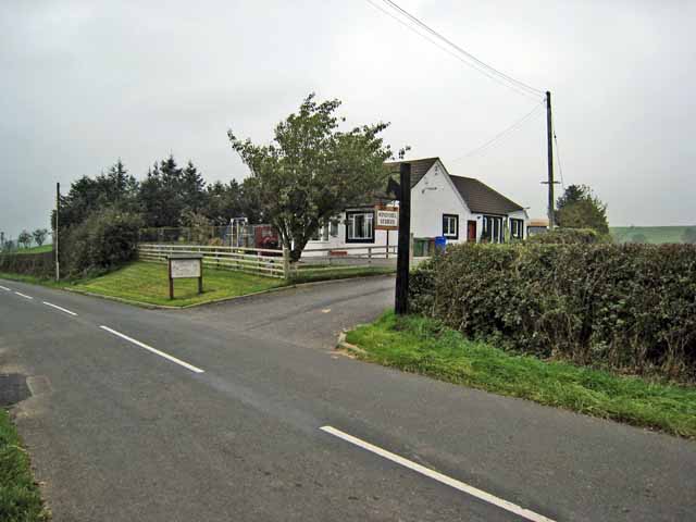
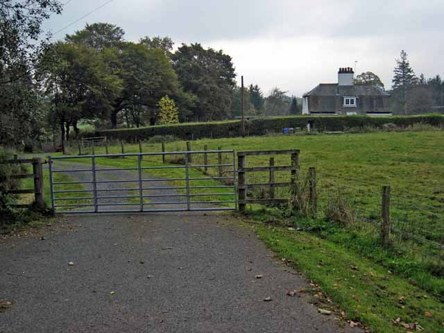
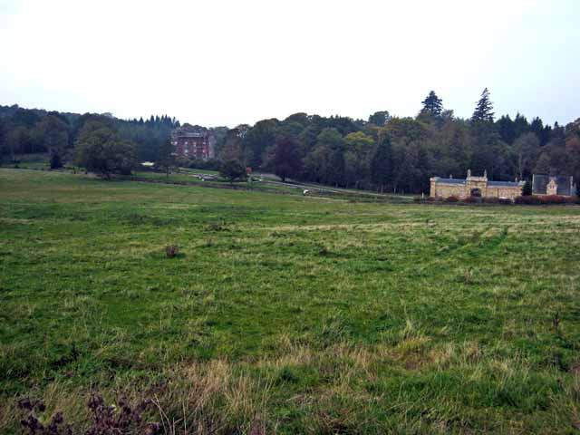
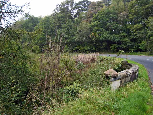
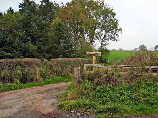
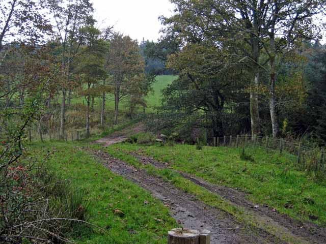
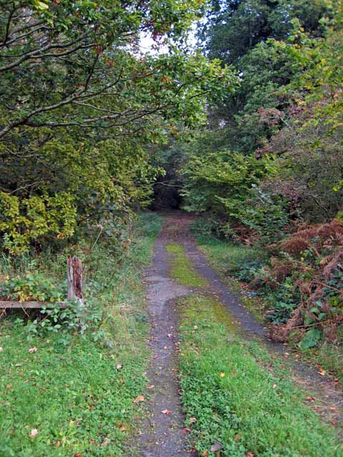
Horsepark Wood Images
Images are sourced within 2km of 55.342584/-4.5826687 or Grid Reference NS3608. Thanks to Geograph Open Source API. All images are credited.


Horsepark Wood is located at Grid Ref: NS3608 (Lat: 55.342584, Lng: -4.5826687)
Unitary Authority: South Ayrshire
Police Authority: Ayrshire
What 3 Words
///switched.verdict.spreading. Near Patna, East Ayrshire
Nearby Locations
Related Wikis
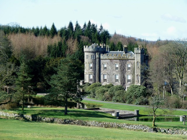
Cloncaird Castle
Cloncaird Castle is located near the small village of Kirkmichael, around 6 kilometres (3.7 mi) east of Maybole in South Ayrshire, Scotland. The castle...

Kirkmichael, South Ayrshire
Kirkmichael (Gaelic: Cille Mhìcheil, "the church of St Michael") is a village in South Ayrshire, Scotland, located between Patna, Maybole and Straiton...

Blairquhan Castle
Blairquhan ( blair-WHAHN, Scots: Blairwhan) is a Regency era castle near Maybole in South Ayrshire, Scotland. It was the historic home of the Hunter-Blair...

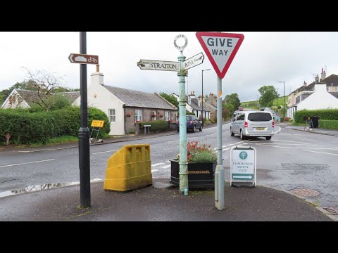
Straiton
Straiton is a village on the River Girvan in South Ayrshire in Scotland. It lies in the hills between Kirkmichael, Dalmellington, Crosshill, and Maybole...

Crosshill, South Ayrshire
Crosshill is a small village in South Ayrshire, Scotland.Crosshill has a primary school. == References ==

Ayr, Carrick and Cumnock (UK Parliament constituency)
Ayr, Carrick, and Cumnock is a county constituency represented in the House of Commons of the Parliament of the United Kingdom. It was created for the...

Crosshill railway station (Ayr)
Crosshill railway station served the village of Crosshill, South Ayrshire, Scotland, from 1860 to 1862 on the Maybole and Girvan Railway. == History... ==

Patna, East Ayrshire
Patna is a village in East Ayrshire, Scotland, straddling the traditional districts of Carrick and Kyle.It was established in 1802 by William Fullarton...
Related Videos

Nana time travels to meet 3 James Pollocks - shoemakers in Maybole and Kirkmichael, Ayrshire
hballantyne0 This video looks at how Agnes Smith and her husband James Pollock afforded the move from Maybole to ...

Nana visited Kirkmichael Church, Ayrshire Part 1
hballantyne0 Part 1 of 4 videos about this lovely village. The church has an interesting history and a great graveyard. Sadly the ...
Nana visited Kirkmichael Ayrshire -found shoemakers, flower sewers & Pollard family P3
hballantyne0 Check out Pt 1 Kirkmichael church, Pt 2 the graveyard and finding the Pollard grave and other famous people.
Nearby Amenities
Located within 500m of 55.342584,-4.5826687Have you been to Horsepark Wood?
Leave your review of Horsepark Wood below (or comments, questions and feedback).