Canning Town
Settlement in Essex
England
Canning Town
Canning Town is a district located in the London Borough of Newham, East London. Although it is often associated with Essex due to its historical connection, it is now officially part of Greater London. Situated in the eastern part of the city, Canning Town is bordered by the River Thames to the south and the Royal Docks to the east.
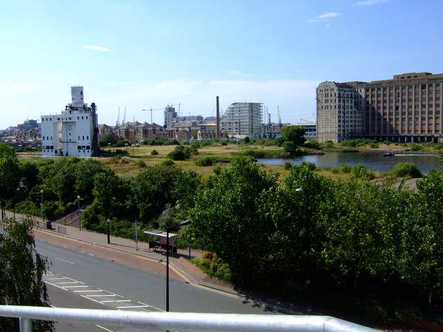
Originally an industrial area, Canning Town has undergone significant redevelopment in recent years. It is now a vibrant and diverse community with a mix of residential, commercial, and recreational spaces. The area is well-connected to the rest of London, with excellent transport links including the Canning Town tube station and several bus routes.
Canning Town offers a range of amenities to its residents, including schools, healthcare facilities, shops, and restaurants. The local Rathbone Market is a popular spot for shopping, with a variety of stalls selling fresh produce, clothing, and household items.
For leisure and recreation, residents can enjoy the nearby Thames Barrier Park, which offers beautiful river views and green spaces for relaxation. The ExCeL London exhibition and conference center is also located nearby, hosting various events throughout the year.
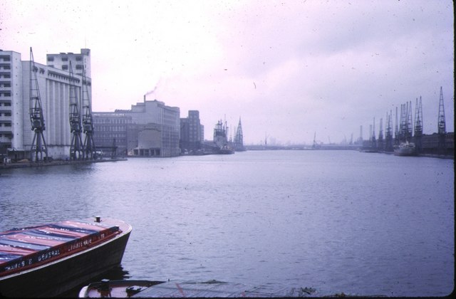
Canning Town has a rich history, with its name derived from the area's association with the canning industry in the 19th century. While the industrial landscape has changed, the community remains proud of its heritage. Today, Canning Town continues to evolve as a dynamic and thriving part of East London.
If you have any feedback on the listing, please let us know in the comments section below.
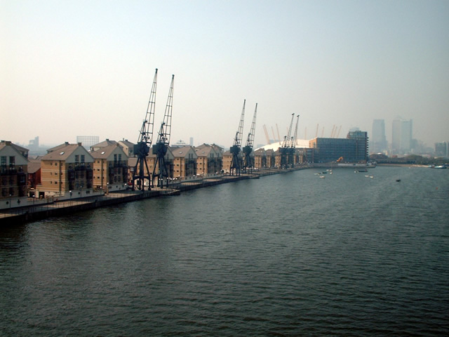
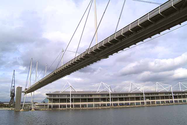
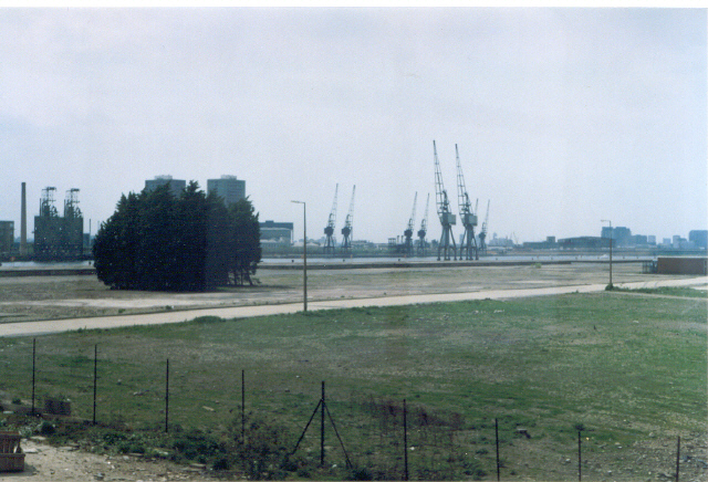
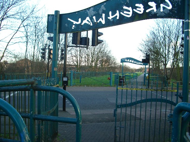
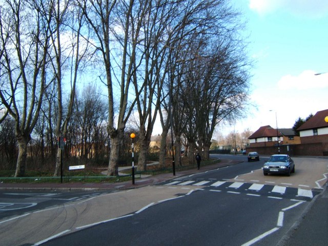
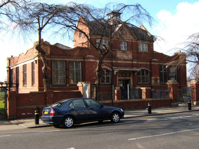
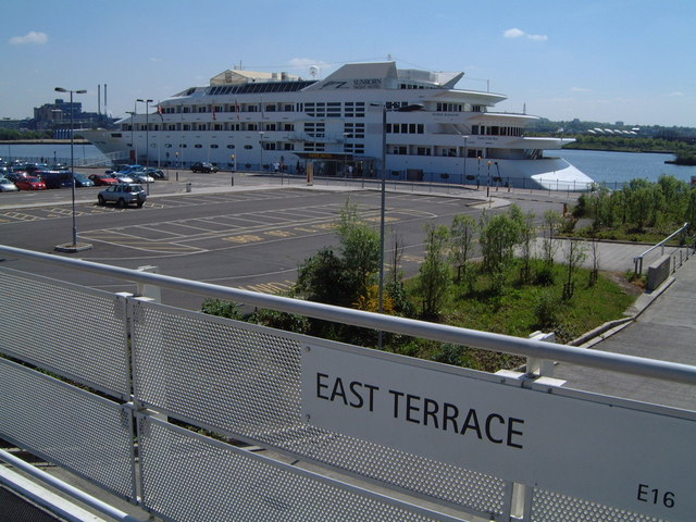
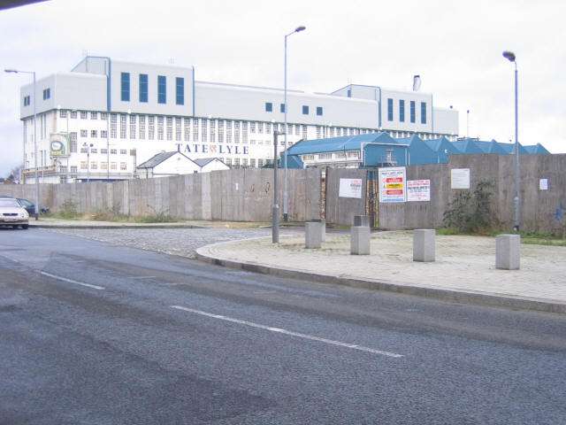
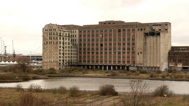
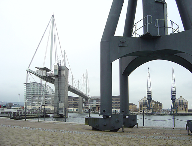
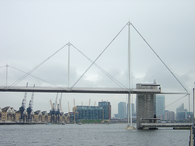
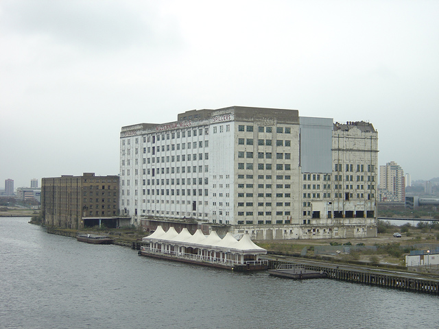
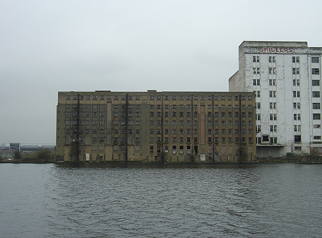
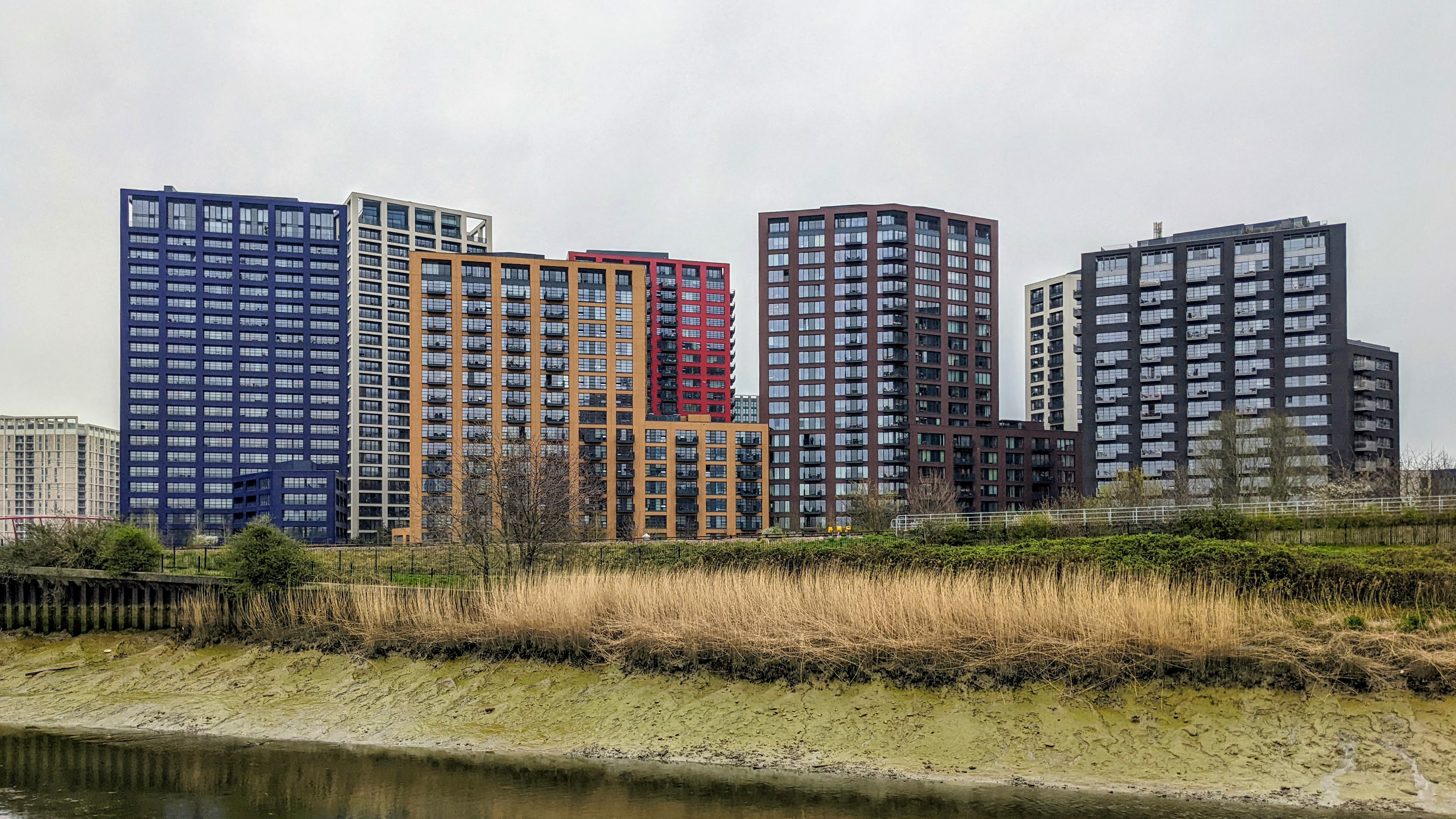
Canning Town Images
Images are sourced within 2km of 51.511122/0.008152 or Grid Reference TQ3981. Thanks to Geograph Open Source API. All images are credited.


Canning Town is located at Grid Ref: TQ3981 (Lat: 51.511122, Lng: 0.008152)
Unitary Authority: Newham
Police Authority: Metropolitan
What 3 Words
///voice.join.ruler. Near Poplar, London
Nearby Locations
Related Wikis

Limmo Peninsula
The Limmo Peninsula is an area of Canning Town in the London Borough of Newham in London's East End. It lies on the east bank of Bow Creek at the mouth...
Leamouth
Leamouth is a locality in the Blackwall area of the London Borough of Tower Hamlets. The area takes its name from the former Leamouth Wharf and lies on...
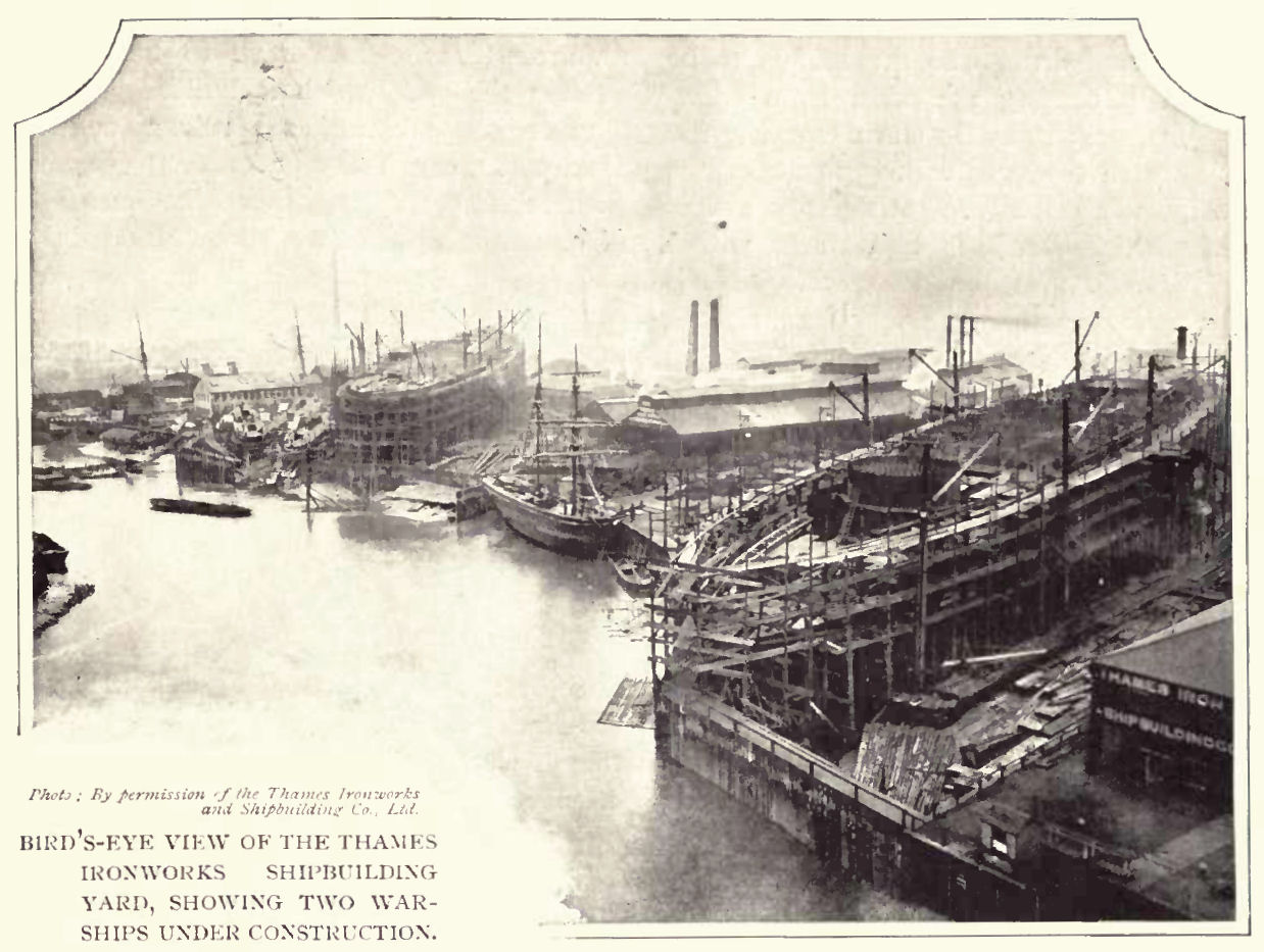
Thames Ironworks and Shipbuilding Company
The Thames Ironworks and Shipbuilding Company, Limited was a shipyard and iron works straddling the mouth of Bow Creek at its confluence with the River...

Orchard House Yard
Orchard House Yard (known as Orchard Yard and Hercules Wharf) was an English shipbuilding yard located at Leamouth, on the River Lea at Bow Creek . Forming...

Canning Town station
Canning Town is a London Underground, Docklands Light Railway (DLR) and London Buses station in Canning Town in London, England. It is designed as an intermodal...

Container City
Container City is the name given to two pieces of shipping container architecture on the Leamouth Peninsula. It is principally a means of utilising standard...
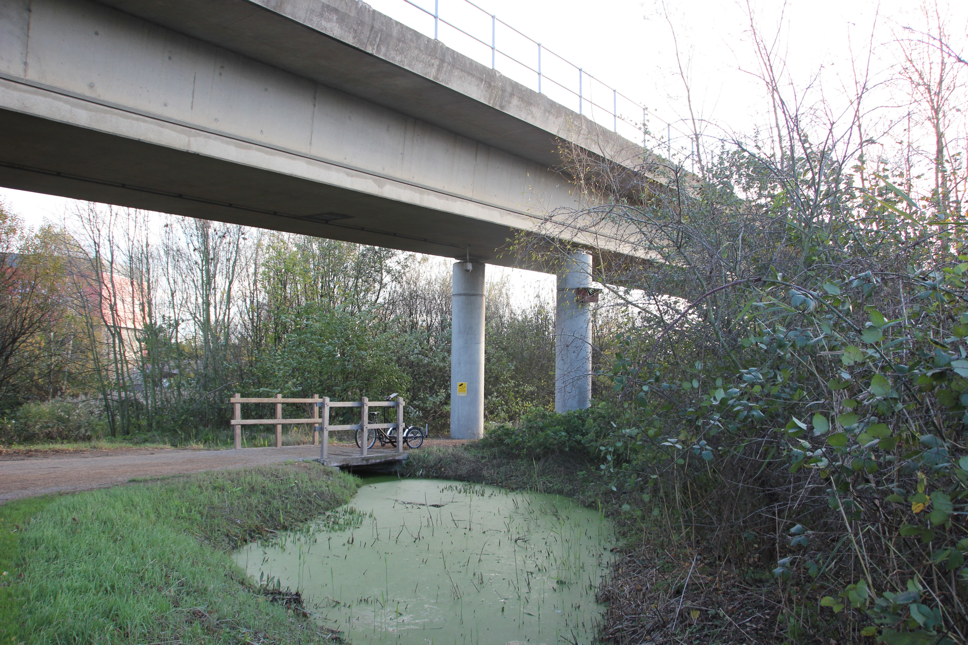
Bow Creek Ecology Park
Bow Creek Ecology Park is a small open space along Bow Creek tidal estuary of the River Lea in Canning Town in Newham, in east London. It is operated by...
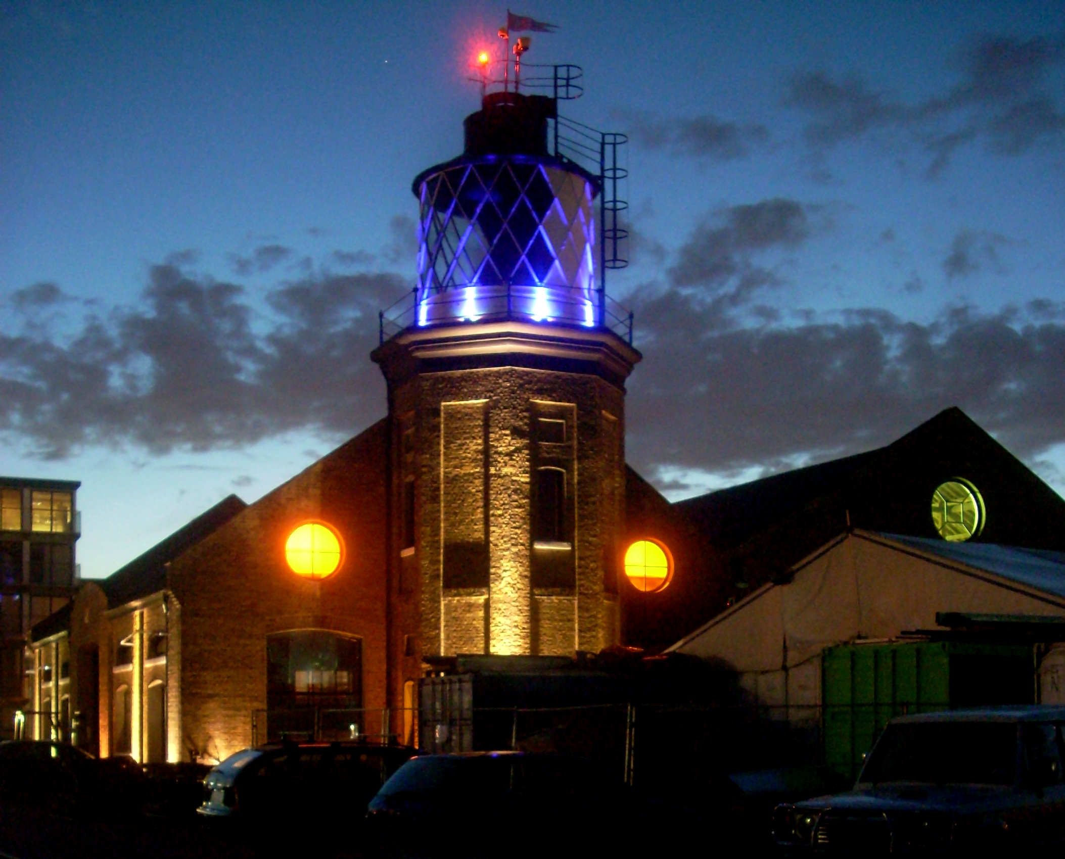
Trinity Buoy Wharf
Trinity Buoy Wharf is the site of a lighthouse, by the confluence of the River Thames and Bow Creek on the Leamouth Peninsula, Poplar. It lies within the...
Nearby Amenities
Located within 500m of 51.511122,0.008152Have you been to Canning Town?
Leave your review of Canning Town below (or comments, questions and feedback).