Auchenwinsey Plantation

Wood, Forest in Ayrshire

Scotland

Auchenwinsey Plantation

Bluebell View
Bluebell View Credit: Alan Reid

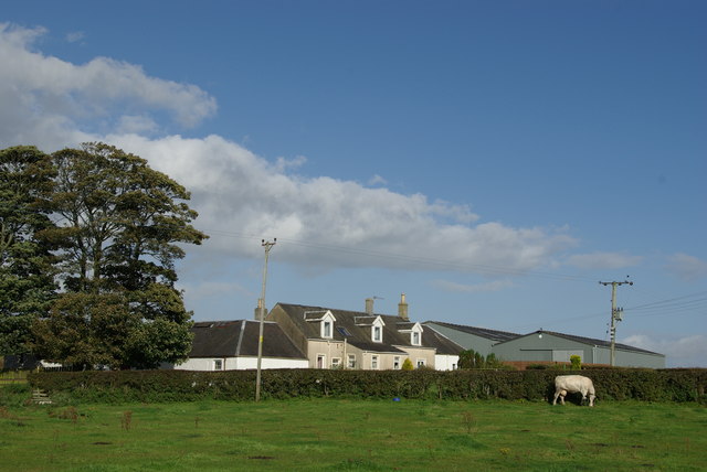
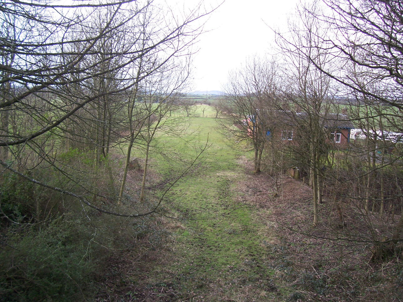
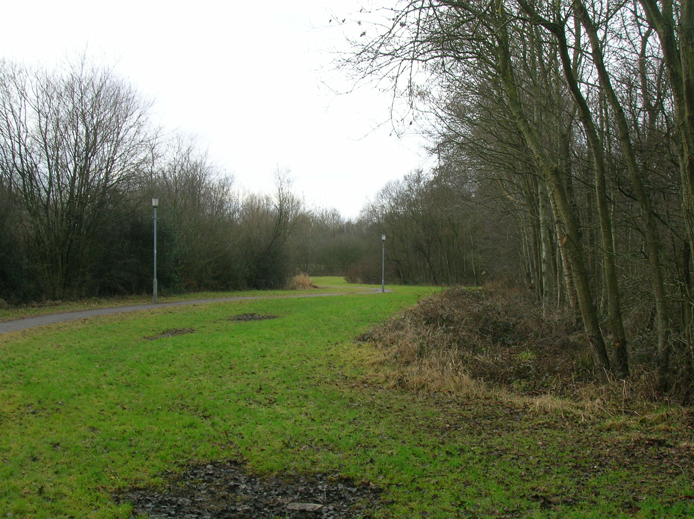
Auchenwinsey Plantation is a charming woodland area located in Ayrshire, Scotland. Spanning over vast acres of land, the plantation is known for its dense forest cover and rich biodiversity. The plantation is situated in a picturesque setting, surrounded by rolling hills and meandering streams, adding to its natural allure.

The woodland is predominantly composed of native tree species such as oak, birch, and pine, creating a diverse ecosystem that provides a habitat for a wide range of flora and fauna. The lush undergrowth of ferns, wildflowers, and mosses further enhances the beauty of the plantation.

Auchenwinsey Plantation offers a serene and tranquil environment, making it a popular destination for nature lovers, hikers, and birdwatchers. The woodland is home to various bird species, including woodpeckers, thrushes, and owls, making it a paradise for birdwatching enthusiasts.

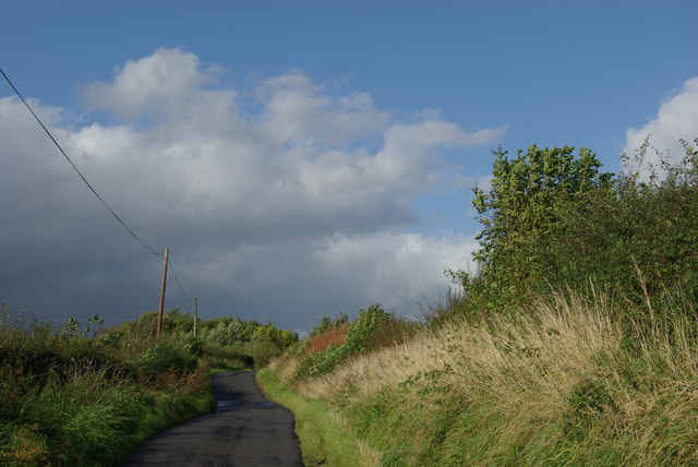
Visitors can explore the plantation through a network of well-maintained walking trails that wind through the forest, offering stunning views of the surrounding landscape. The trails cater to different levels of difficulty, accommodating both casual walkers and more experienced hikers.

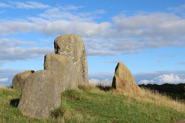
In addition to its natural beauty, Auchenwinsey Plantation also has historical significance. It is believed that the land has been used for timber production since ancient times, contributing to the local economy. The remnants of old sawmills and remnants of logging activities can still be found within the plantation, serving as a reminder of its past.

Overall, Auchenwinsey Plantation in Ayrshire offers a delightful escape into nature, showcasing the beauty and diversity of Scotland's woodlands. It provides a peaceful retreat for outdoor enthusiasts and those seeking to immerse themselves in the wonders of the natural world.

If you have any feedback on the listing, please let us know in the comments section below.

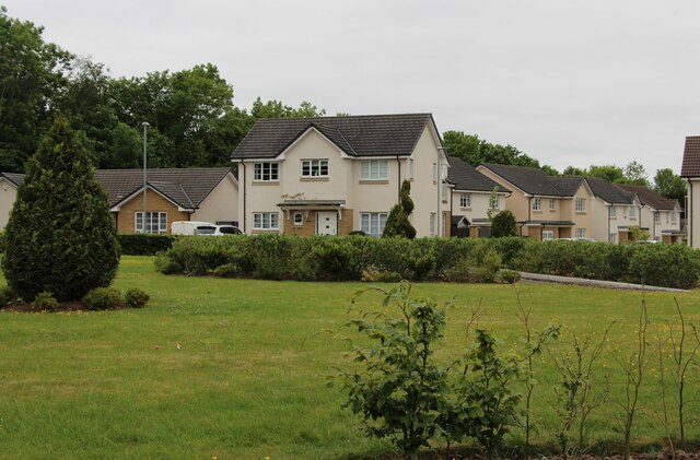
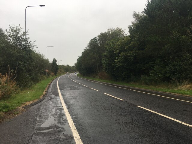
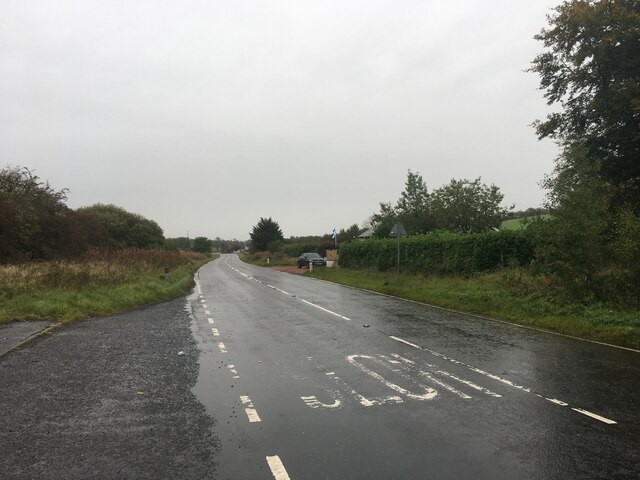
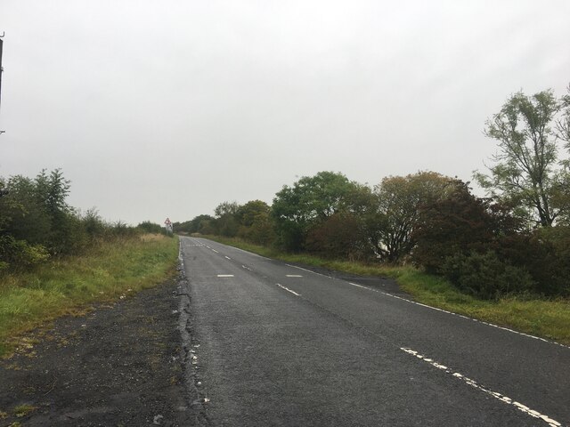
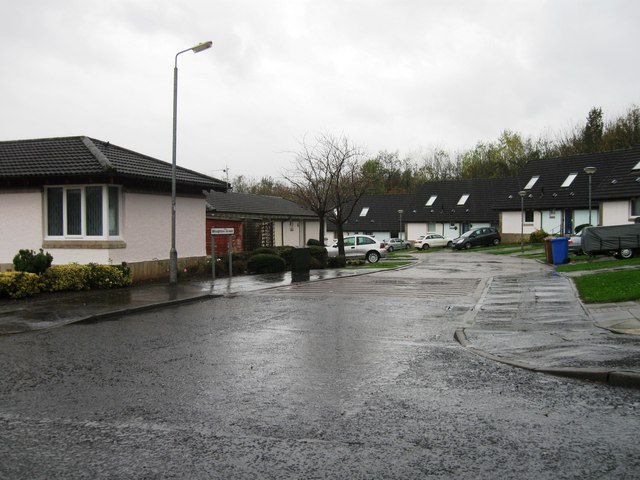
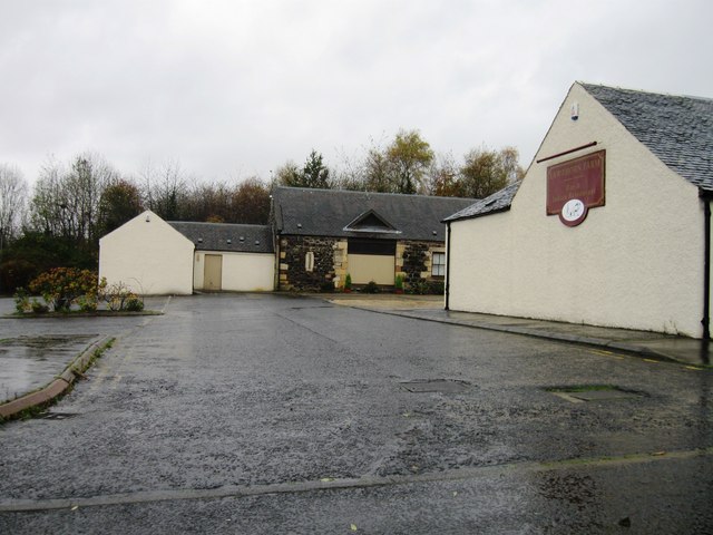
Auchenwinsey Plantation Images

Images are sourced within 2km of 55.644941/-4.6327264 or Grid Reference NS3442. Thanks to Geograph Open Source API. All images are credited.

Bluebell View
Bluebell View
A736 Cairnmount Road
A736 towards Barrhead
A736 near Torranyard
Eglinton Country Park - Old Ice House (restored) The original ice house in Eglinton Country Park was built at a cost of £25 by Alexander Montgomorie (1729–1769), 10th Earl of Eglinton.
Eglinton Country Park - Old Ice House (restored)
The original ice house in Eglinton Country Park was built at a cost of £25 by Alexander Montgomorie (1729–1769), 10th Earl of Eglinton.
Eglinton Loch Frozen The loch is a main feature of Eglinton Country Park, with fishing by permit only.  The Country Park is operated by North Ayrshire Council.
Eglinton Loch Frozen
The loch is a main feature of Eglinton Country Park, with fishing by permit only. The Country Park is operated by North Ayrshire Council.
Eglinton Loch Outflow Water drainage from the loch is controlled by the white sluice gate, shown in the background of this shot.  Even on such a cold and frosty morning, with the loch completely frozen over, this marshy area was open.
Eglinton Loch Outflow
Water drainage from the loch is controlled by the white sluice gate, shown in the background of this shot. Even on such a cold and frosty morning, with the loch completely frozen over, this marshy area was open.
North Fergushill
North Fergushill
Minor road between North Fergushill & Burrowland
Sourlie Hill Standing Stones, Eglinton Country Park An opencast mine was established at Sourlie in 1983. Once the extraction process ended in 1986, reclamation and landscaping followed until completion in 1987. These large boulders recovered during mining were erected on top of the restored Sourlie Hill (also known as Cairnmount Hill).
Sourlie Hill Standing Stones, Eglinton Country Park
An opencast mine was established at Sourlie in 1983. Once the extraction process ended in 1986, reclamation and landscaping followed until completion in 1987. These large boulders recovered during mining were erected on top of the restored Sourlie Hill (also known as Cairnmount Hill).
Bridge & Footpath, Eglinton Country Park
Tollhouse Cottage, Girdle Toll, Irvine
Broughton Green
Broughton Green
Lawthorn Farm
Lawthorn Farm
Entrance to Benslie
Entrance to Benslie
Access track
Access track
Show me another place!

Auchenwinsey Plantation is located at Grid Ref: NS3442 (Lat: 55.644941, Lng: -4.6327264)

Unitary Authority: North Ayrshire

Police Authority: Ayrshire

What 3 Words

///upward.enabling.villas. Near Irvine, North Ayrshire

Related Wikis

Lands of Doura

The Lands of Doura, Dawra, Dawray, Dowrey Dowray, Dourey or Douray formed a small estate, at one time part of the Barony of Corsehill and Doura, situated...

Benslie

Benslie is a small village in North Ayrshire, in the parish of Kilwinning, Scotland. Map reference NS 336 429. == History == This village, previously Benislay...

Montgreenan railway station

Montgreenan railway station was a railway station near the village of Benslie, three miles north east of the town of Kilwinning, North Ayrshire, Scotland...

Littlestane Loch

Littlestane Loch, was situated in the mid-Ayrshire clayland near Stanecastle, Irvine, North Ayrshire, Scotland. It is nowadays (2011) only visible as an...

Nearby Amenities

Located within 500m of 55.644941,-4.6327264
Orchard Coal Pit
Historic: mine
Lat/Long: 55.6481708/-4.6318163
Doura Brick and Tile Works
Historic: yes
Lat/Long: 55.6468207/-4.6348418
Power: pole
Lat/Long: 55.6438657/-4.6354982
Power: pole
Lat/Long: 55.6433934/-4.6352979
Power: pole
Lat/Long: 55.6428646/-4.6350454
Power: pole
Lat/Long: 55.6423158/-4.634795
Power: pole
Lat/Long: 55.6427292/-4.6375413
Power: pole
Lat/Long: 55.6421097/-4.6369778
Power: pole
Lat/Long: 55.6422028/-4.6358968
Power: pole
Lat/Long: 55.6423641/-4.6343046
Power: pole
Lat/Long: 55.6424689/-4.6331818
Power: pole
Lat/Long: 55.6425808/-4.6320695
Power: pole
Lat/Long: 55.6427021/-4.6310804
Power: pole
Lat/Long: 55.6428741/-4.6298491
Power: pole
Lat/Long: 55.6430095/-4.6287744
Power: pole
Lat/Long: 55.6431438/-4.6277414
Power: pole
Lat/Long: 55.6426491/-4.6274138
Power: pole
Lat/Long: 55.6424995/-4.6273157
Power: pole
Lat/Long: 55.6419543/-4.6269463
Power: pole
Lat/Long: 55.6436378/-4.634941
Power: pole
Lat/Long: 55.6440223/-4.634747
Power: pole
Lat/Long: 55.6444869/-4.6345185
Power: pole
Lat/Long: 55.6449627/-4.6342795
Power: pole
Lat/Long: 55.6464341/-4.6335053
Power: pole
Lat/Long: 55.648174/-4.630638
Power: pole
Lat/Long: 55.6485007/-4.6302717
Power: pole
Lat/Long: 55.6488434/-4.6299055
The data included in this document is from www.openstreetmap.org. The data is made available under ODbL.

Have you been to Auchenwinsey Plantation?

Leave your review of Auchenwinsey Plantation below (or comments, questions and feedback).