Doura

Settlement in Ayrshire

Scotland

Doura

A736 Cairnmount Road
A736 Cairnmount Road Credit: Steven Brown

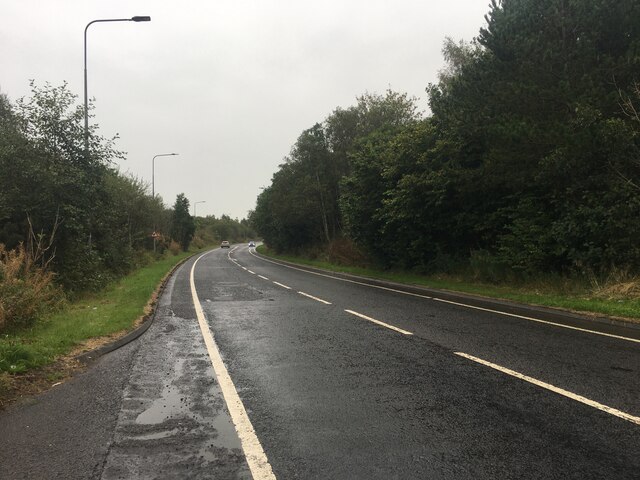
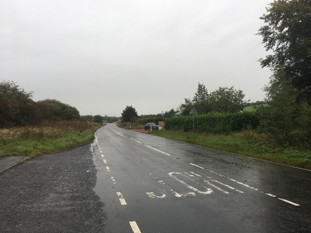
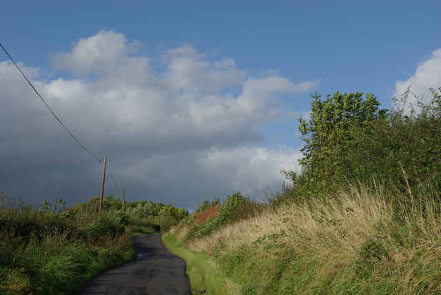
Doura is a small village located in the council area of South Ayrshire, Scotland. Situated on the banks of the River Ayr, it lies approximately 4 miles southeast of the town of Ayr, and is surrounded by picturesque countryside.

With a population of around 500 residents, Doura is a close-knit community known for its tranquility and natural beauty. The village offers a peaceful rural setting, making it an ideal place for those seeking a relaxed lifestyle away from the hustle and bustle of urban areas.

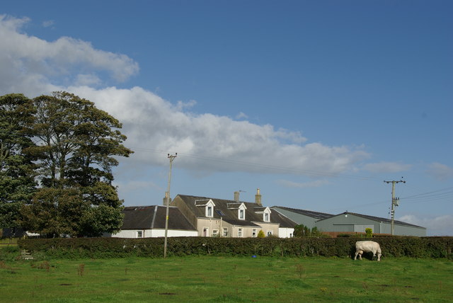
Doura boasts a rich history that can be traced back centuries. The area was originally inhabited by early settlers, and evidence of ancient burial sites and settlements have been discovered nearby. Over the years, the village has developed into a residential area with a mix of traditional and modern houses.

Despite its small size, Doura offers some amenities to its residents. The village has a local primary school, providing education for children within the community. In terms of leisure activities, the surrounding countryside provides ample opportunities for outdoor pursuits such as walking, cycling, and fishing.

For those seeking more amenities, the nearby town of Ayr offers a wider range of services, including shopping centers, supermarkets, healthcare facilities, and leisure centers. Ayr also provides easy access to transportation links, with regular bus and train services connecting to other major towns and cities in Scotland.

In conclusion, Doura is a charming village in South Ayrshire, Scotland, offering a peaceful and idyllic setting for residents. With its rich history and access to the beautiful Scottish countryside, it provides a desirable location for those seeking a quieter way of life while still being within reach of larger towns and cities.

If you have any feedback on the listing, please let us know in the comments section below.
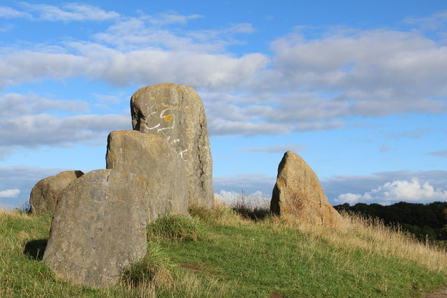
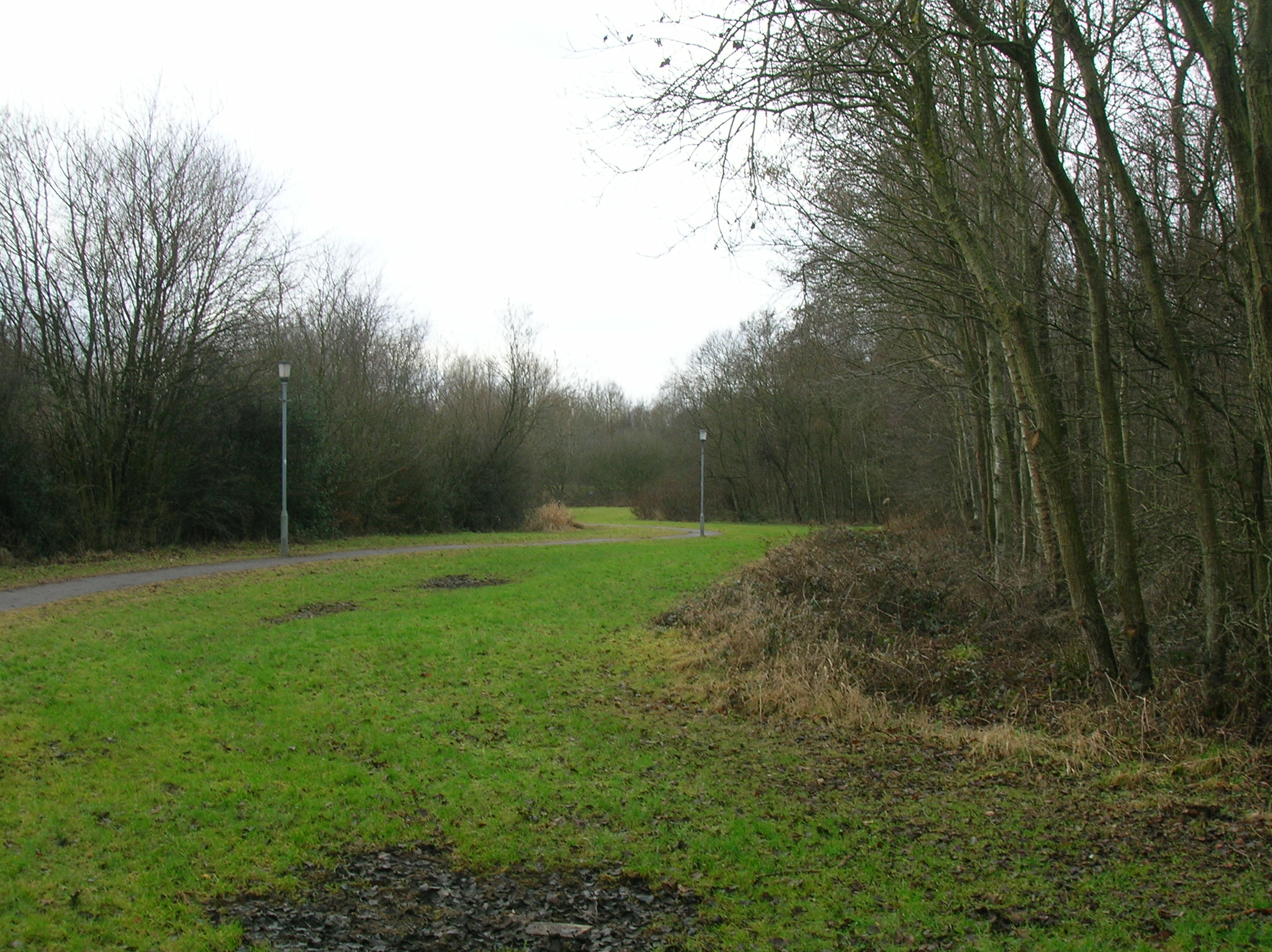
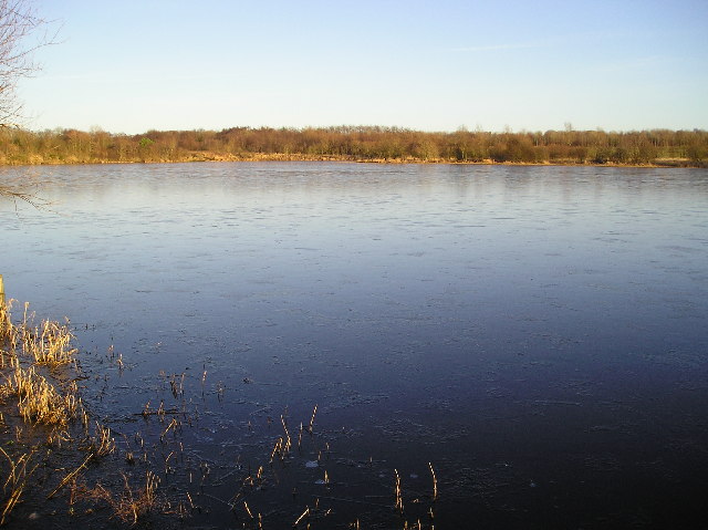
Doura Images

Images are sourced within 2km of 55.643112/-4.6391994 or Grid Reference NS3442. Thanks to Geograph Open Source API. All images are credited.

A736 Cairnmount Road
A736 towards Barrhead
Eglinton Country Park - Old Ice House (restored) The original ice house in Eglinton Country Park was built at a cost of £25 by Alexander Montgomorie (1729–1769), 10th Earl of Eglinton.
Eglinton Country Park - Old Ice House (restored)
The original ice house in Eglinton Country Park was built at a cost of £25 by Alexander Montgomorie (1729–1769), 10th Earl of Eglinton.
Eglinton Loch Frozen The loch is a main feature of Eglinton Country Park, with fishing by permit only.  The Country Park is operated by North Ayrshire Council.
Eglinton Loch Frozen
The loch is a main feature of Eglinton Country Park, with fishing by permit only. The Country Park is operated by North Ayrshire Council.
Eglinton Loch Outflow Water drainage from the loch is controlled by the white sluice gate, shown in the background of this shot.  Even on such a cold and frosty morning, with the loch completely frozen over, this marshy area was open.
Eglinton Loch Outflow
Water drainage from the loch is controlled by the white sluice gate, shown in the background of this shot. Even on such a cold and frosty morning, with the loch completely frozen over, this marshy area was open.
Lugton Water This view shows a small footbridge over the Lugton Water in Eglinton Country Park. Looking downstream on a chilly February morning.
Lugton Water
This view shows a small footbridge over the Lugton Water in Eglinton Country Park. Looking downstream on a chilly February morning.
Slippery Stuff Located in Eglinton Country Park, vehicle access to this ford is limited.  In keeping with our modern politically-correct world, visitors have to be told that wet surfaces are slippery. How did we ever manage before?
Slippery Stuff
Located in Eglinton Country Park, vehicle access to this ford is limited. In keeping with our modern politically-correct world, visitors have to be told that wet surfaces are slippery. How did we ever manage before?
Lugton Water Viewed on a chilly February morning.  Eglinton Country Park is operated by North Ayrshire Council.  Entry is free of charge, giving access to some interesting and attractive walks.
Lugton Water
Viewed on a chilly February morning. Eglinton Country Park is operated by North Ayrshire Council. Entry is free of charge, giving access to some interesting and attractive walks.
Bridge Over Lugton Water An interesting old bridge across the Lugton Water in Eglinton Country Park. The park is operated by North Ayrshire Council.  Entry is free of charge, giving access to some interesting and attractive walks.
Bridge Over Lugton Water
An interesting old bridge across the Lugton Water in Eglinton Country Park. The park is operated by North Ayrshire Council. Entry is free of charge, giving access to some interesting and attractive walks.
Eglinton Country Park Eglinton Country Park is operated by North Ayrshire Council.  Entry is free of charge, giving access to some interesting and attractive walks.
Eglinton Country Park
Eglinton Country Park is operated by North Ayrshire Council. Entry is free of charge, giving access to some interesting and attractive walks.
North Fergushill
North Fergushill
Minor road between North Fergushill & Burrowland
Joining A78 from A737 slip road Eastbound
Joining A78 from A737 slip road
Eastbound
Footbridge from hospital over A78 Near The Circle
Footbridge from hospital over A78
Near The Circle
Sourlie Hill Standing Stones, Eglinton Country Park An opencast mine was established at Sourlie in 1983. Once the extraction process ended in 1986, reclamation and landscaping followed until completion in 1987. These large boulders recovered during mining were erected on top of the restored Sourlie Hill (also known as Cairnmount Hill).
Sourlie Hill Standing Stones, Eglinton Country Park
An opencast mine was established at Sourlie in 1983. Once the extraction process ended in 1986, reclamation and landscaping followed until completion in 1987. These large boulders recovered during mining were erected on top of the restored Sourlie Hill (also known as Cairnmount Hill).
Tournament Bridge, Eglinton Country Park Category B-listed. Built c1845 by Archibald Montgomerie, 13th Earl of Eglinton. Restored 2008-9. Crosses Lugton Water.
Tournament Bridge, Eglinton Country Park
Category B-listed. Built c1845 by Archibald Montgomerie, 13th Earl of Eglinton. Restored 2008-9. Crosses Lugton Water.
Eglinton Castle Category C-listed. The large mansion of 1802 was built on the site of the 16th-century stronghold of the Montgomerie Earls of Eglinton. The mansion was abandoned and unroofed in 1925. It was later used as target practice by the army and blown up. Further demolition was carried out in 1973. The remaining fragments form a feature in Eglinton Country Park.
Eglinton Castle
Category C-listed. The large mansion of 1802 was built on the site of the 16th-century stronghold of the Montgomerie Earls of Eglinton. The mansion was abandoned and unroofed in 1925. It was later used as target practice by the army and blown up. Further demolition was carried out in 1973. The remaining fragments form a feature in Eglinton Country Park.
Show me another place!

Doura is located at Grid Ref: NS3442 (Lat: 55.643112, Lng: -4.6391994)

Unitary Authority: North Ayrshire

Police Authority: Ayrshire

What 3 Words

///estimates.guises.lifelong. Near Irvine, North Ayrshire

Related Wikis

Lands of Doura

The Lands of Doura, Dawra, Dawray, Dowrey Dowray, Dourey or Douray formed a small estate, at one time part of the Barony of Corsehill and Doura, situated...

Littlestane Loch

Littlestane Loch, was situated in the mid-Ayrshire clayland near Stanecastle, Irvine, North Ayrshire, Scotland. It is nowadays (2011) only visible as an...

Benslie

Benslie is a small village in North Ayrshire, in the parish of Kilwinning, Scotland. Map reference NS 336 429. == History == This village, previously Benislay...

Eglinton Loch

Eglinton Loch (NS 232698 642303) is a small freshwater loch in the North Ayrshire Council Areas (KA12 8TA), lying in a holm of the Lugton Water near Irvine...

Nearby Amenities

Located within 500m of 55.643112,-4.6391994
Doura Brick and Tile Works
Historic: yes
Lat/Long: 55.6468207/-4.6348418
Power: pole
Lat/Long: 55.6438657/-4.6354982
Power: pole
Lat/Long: 55.6433934/-4.6352979
Power: pole
Lat/Long: 55.6428646/-4.6350454
Power: pole
Lat/Long: 55.6423158/-4.634795
Power: pole
Lat/Long: 55.6427292/-4.6375413
Power: pole
Lat/Long: 55.6421097/-4.6369778
Power: pole
Lat/Long: 55.6422028/-4.6358968
Power: pole
Lat/Long: 55.6423641/-4.6343046
Power: pole
Lat/Long: 55.6424689/-4.6331818
Power: pole
Lat/Long: 55.6425808/-4.6320695
Power: pole
Lat/Long: 55.6464965/-4.6423149
Power: pole
Lat/Long: 55.646858/-4.6420248
Power: pole
Lat/Long: 55.6436378/-4.634941
Power: pole
Lat/Long: 55.6440223/-4.634747
Power: pole
Lat/Long: 55.6444869/-4.6345185
Power: pole
Lat/Long: 55.6449627/-4.6342795
The data included in this document is from www.openstreetmap.org. The data is made available under ODbL.

Have you been to Doura?

Leave your review of Doura below (or comments, questions and feedback).