Bullock's Mire Wood

Wood, Forest in Wigtownshire

Scotland

Bullock's Mire Wood

Old milestone Another of the Wigtownshire style milestones that has had vegetation cleared from around it and a new coat of paint with the work done by a Milestone Society member.  The G is for Glen Luce with W (for Wigtown), an arrow pointing right and 5 on the left hand face.
Old milestone Credit: Jacqueline Crowther

Bullock's Mire Wood is a picturesque woodland located in Wigtownshire, Scotland. Covering an area of approximately 20 acres, this enchanting forest is known for its diverse range of flora and fauna, making it a popular destination for nature lovers and outdoor enthusiasts.

The wood is predominantly composed of native broadleaf trees, such as oak, birch, and ash, which provide a stunning canopy of greenery during the summer months. The forest floor is carpeted with a rich layer of mosses, ferns, and wildflowers, creating a vibrant and colorful landscape.

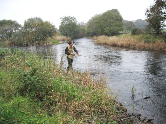
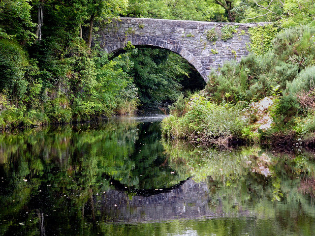
One of the notable features of Bullock's Mire Wood is the presence of a small stream that meanders through the forest, adding to its natural beauty and charm. This stream is home to a variety of aquatic species, including trout and small amphibians.

Wildlife thrives within the wood, with numerous bird species, such as woodpeckers, thrushes, and owls, being commonly sighted. Additionally, the wood provides a habitat for mammals like red squirrels, badgers, and deer, which can sometimes be spotted by patient observers.

Bullock's Mire Wood offers various recreational activities for visitors, including walking trails, picnic areas, and wildlife spotting opportunities. The tranquil atmosphere and scenic surroundings make it an ideal place for people seeking a peaceful retreat or a place to reconnect with nature.

Overall, Bullock's Mire Wood in Wigtownshire is a captivating woodland that showcases the beauty and diversity of Scotland's natural landscape. Its stunning scenery, abundant wildlife, and recreational opportunities make it a must-visit destination for nature enthusiasts of all ages.

If you have any feedback on the listing, please let us know in the comments section below.

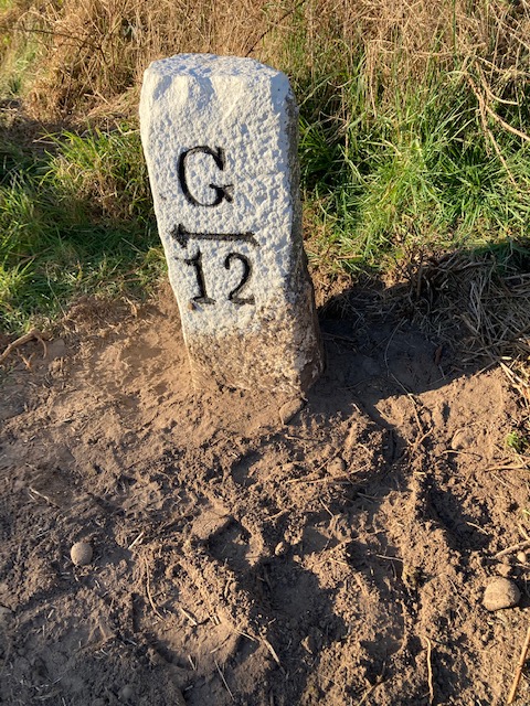
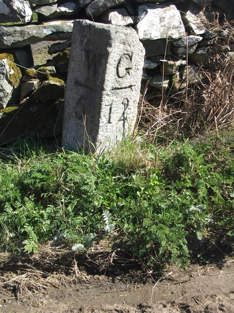
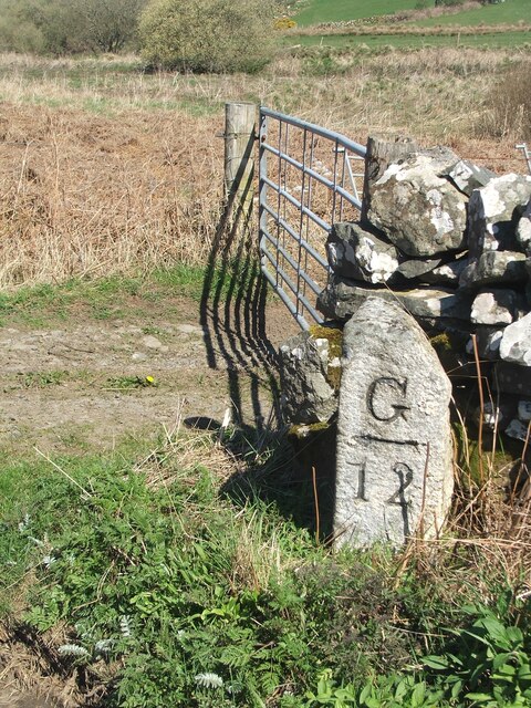
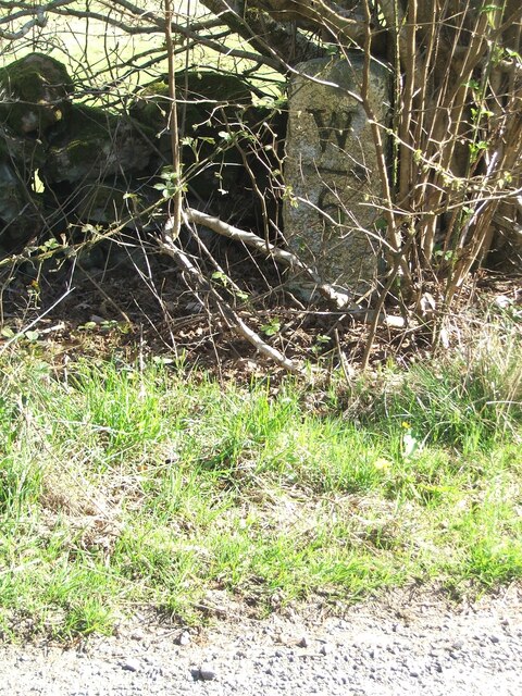
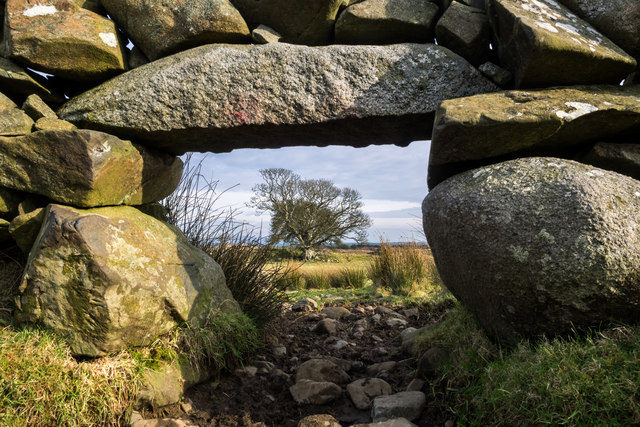
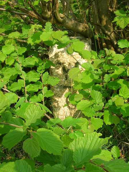
Bullock's Mire Wood Images

Images are sourced within 2km of 54.894717/-4.588178 or Grid Reference NX3458. Thanks to Geograph Open Source API. All images are credited.

Old milestone Another of the Wigtownshire style milestones that has had vegetation cleared from around it and a new coat of paint with the work done by a Milestone Society member.  The G is for Glen Luce with W (for Wigtown), an arrow pointing right and 5 on the left hand face.
Old milestone
Another of the Wigtownshire style milestones that has had vegetation cleared from around it and a new coat of paint with the work done by a Milestone Society member. The G is for Glen Luce with W (for Wigtown), an arrow pointing right and 5 on the left hand face.
Old milestone This is the milestone on the B733 just north of the B7052 junction.   The previous photograph   <a href="https://www.geograph.org.uk/photo/7447528">NX3558 : Old milestone</a> was wrongly identified and is the milestone on the A747, 2 miles north of Port William.
Old milestone
This is the milestone on the B733 just north of the B7052 junction. The previous photograph NX3558 : Old milestone was wrongly identified and is the milestone on the A747, 2 miles north of Port William.
Old milestone Not much has changed since 2008.  The field gate is the same and the lichen encrusted wall still survives.   The mason didn't bother too much about the top and back of this milestone.
Old milestone
Not much has changed since 2008. The field gate is the same and the lichen encrusted wall still survives. The mason didn't bother too much about the top and back of this milestone.
Old milestone In May 2008 this milestone was almost hidden from view but using the milometer on my bike I knew just where to search.  In April 2023 not quite hidden.  It is just south of the Kirkchrist Lodge.   Glenluce still 11 miles away.
Old milestone
In May 2008 this milestone was almost hidden from view but using the milometer on my bike I knew just where to search. In April 2023 not quite hidden. It is just south of the Kirkchrist Lodge. Glenluce still 11 miles away.
Old milestone Another view of the milestone hidden under the bush/tree just south of Kirkchrist Lodge. G/arrow to left/11 on the unseen face.
Old milestone
Another view of the milestone hidden under the bush/tree just south of Kirkchrist Lodge. G/arrow to left/11 on the unseen face.
Old milestone Travelling towards Kirkcowan the B733 crosses the River Tarff by Johnston's Bridge.   The Tarff then soon runs into the River Bladnoch a short distance to the east.   The milestone is at the northern end of the bridge.
Old milestone
Travelling towards Kirkcowan the B733 crosses the River Tarff by Johnston's Bridge. The Tarff then soon runs into the River Bladnoch a short distance to the east. The milestone is at the northern end of the bridge.
Old milestone The bridge over the river then sharp left to continue towards Wigtown.
Old milestone
The bridge over the river then sharp left to continue towards Wigtown.
Craigdow Moor and the Craigdow Burn The Craigdow Burn snakes its way across Craigdow Moor.
Craigdow Moor and the Craigdow Burn
The Craigdow Burn snakes its way across Craigdow Moor.
Craigdow A long abandoned farm lying on the moor southwest of Clugston Loch. It was noted to be in ruins on the 1850 6" OS map.
Craigdow
A long abandoned farm lying on the moor southwest of Clugston Loch. It was noted to be in ruins on the 1850 6" OS map.
Through the lunky hole A lunky hole is built in a drystone dyke to allow sheep to pass through it while holding back cattle. It can easily be blocked up with a small gate, board or stones. This one is in the dyke enclosing the old ruined farm of Craigdow.
Through the lunky hole
A lunky hole is built in a drystone dyke to allow sheep to pass through it while holding back cattle. It can easily be blocked up with a small gate, board or stones. This one is in the dyke enclosing the old ruined farm of Craigdow.
The Craigdow Burn The Craigdow Burn runs down from Craigdow Moor into the southern end of Clugston Loch.
The Craigdow Burn
The Craigdow Burn runs down from Craigdow Moor into the southern end of Clugston Loch.
Old Milestone by the B733, northwest of Spittal Bridge Stone post by the B733, in parish of Kirkcowan (Wigtownshire District), North of junction with the B7052, near field gate.

Inscription reads:-
: W / {arrow-> / 5 : : G / {<-arrow} / 12 :
(To Wigtown and Glenluce)
 
Surveyed

Milestone Society National ID: DG_WGGL05
Old Milestone by the B733, northwest of Spittal Bridge
Stone post by the B733, in parish of Kirkcowan (Wigtownshire District), North of junction with the B7052, near field gate. Inscription reads:- : W / {arrow-> / 5 : : G / {<-arrow} / 12 : (To Wigtown and Glenluce) Surveyed Milestone Society National ID: DG_WGGL05
Old Milestone by the B733, south of Kirkchrist Lodge, Kirkcowan parish Stone post by the B733, in parish of Kirkcowan (Wigtownshire District), South of lodge to Kirkchrist House, hidden under hazel tree.

Inscription reads:-
: W / {arrow-&amp;gt;} / 6 : : G / {&amp;lt;-arrow} / 11 :
(To Wigtown and Glenluce) 

Surveyed

Milestone Society National ID: DG_WGGL06
Old Milestone by the B733, south of Kirkchrist Lodge, Kirkcowan parish
Stone post by the B733, in parish of Kirkcowan (Wigtownshire District), South of lodge to Kirkchrist House, hidden under hazel tree. Inscription reads:- : W / {arrow->} / 6 : : G / {<-arrow} / 11 : (To Wigtown and Glenluce) Surveyed Milestone Society National ID: DG_WGGL06
Salmon fishing at the Junction Pool of the Rivers Bladnoch and Tarf The R Tarf (from the left of picture) joins the larger R Bladnoch.
Salmon fishing at the Junction Pool of the Rivers Bladnoch and Tarf
The R Tarf (from the left of picture) joins the larger R Bladnoch.
The Auld Weel Bridge A &amp;quot;weel&amp;quot; in Scots is a deep pool, or sometimes a whirlpool.
The Auld Weel Bridge
A "weel" in Scots is a deep pool, or sometimes a whirlpool.
Sluice gate This sluice controlled water flow from the weir at the Auld Weel to the Waulk Mill (a fulling mill where cloth was treated to thicken and felt it). It looks in good working order, presumably to control the height of water in the weir.
Sluice gate
This sluice controlled water flow from the weir at the Auld Weel to the Waulk Mill (a fulling mill where cloth was treated to thicken and felt it). It looks in good working order, presumably to control the height of water in the weir.
Kirkcowan woollen mills The chimney is all that remains of Armstrongs woollen mill, built in the 19th century. On the opposite bank of the Tarff was Milroys waulk mill.
Kirkcowan woollen mills
The chimney is all that remains of Armstrongs woollen mill, built in the 19th century. On the opposite bank of the Tarff was Milroys waulk mill.
Honeysuckle
Honeysuckle
Show me another place!

Bullock's Mire Wood is located at Grid Ref: NX3458 (Lat: 54.894717, Lng: -4.588178)

Unitary Authority: Dumfries and Galloway

Police Authority: Dumfries and Galloway

What 3 Words

///custodial.bandaged.sleeper. Near Newton Stewart, Dumfries & Galloway

Related Wikis

Kirkcowan

Kirkcowan is an area about 15 miles in length, and from nearly two to nearly seven miles in breadth, comprising 30,580 acres, of which 7000 are arable...

Kirkcowan railway station

Kirkcowan railway station served the village of Kirkcowan, Dumfries and Galloway, Scotland from 1861 to 1965 on the Portpatrick and Wigtownshire Joint...

Torhouse

The Standing Stones of Torhouse (also Torhousekie) are a stone circle of nineteen granite boulders on the land of Torhouse, three miles west of Wigtown...

Mochrum Loch

Mochrum Loch is a large, irregular shaped, shallow, freshwater loch in Dumfries and Galloway, in the Southern Uplands of south-west Scotland. It lies approximately...

Castle Loch, Dumfries and Galloway

Castle Loch is a large, shallow, freshwater loch in Dumfries and Galloway, in the Southern Uplands of south-west Scotland. It lies to the west of Mochrum...

Castle Loch

Castle Loch is a shallow eutrophic loch covering an area of around 100 hectares in the town of Lochmaben in Dumfries and Galloway, Scotland. It lies to...

Mains of Penninghame Platform railway station

Mains of Penninghame Platform railway station (NX410617) was a halt on the Wigtownshire Railway branch line, from Newton Stewart to Whithorn, of the Portpatrick...

Causeway End railway station

Causeway End (NX 42047 59602) or Causwayend was a railway station on the Wigtownshire Railway branch line, from Newton Stewart to Whithorn, of the Portpatrick...

Nearby Amenities

Located within 500m of 54.894717,-4.588178
Power: pole
Lat/Long: 54.8909373/-4.5840341
Power: pole
Lat/Long: 54.8906017/-4.5850663
Power: pole
Lat/Long: 54.8976551/-4.593549
Power: pole
Lat/Long: 54.8970429/-4.593993
Power: pole
Lat/Long: 54.8964079/-4.5944161
The data included in this document is from www.openstreetmap.org. The data is made available under ODbL.

Have you been to Bullock's Mire Wood?

Leave your review of Bullock's Mire Wood below (or comments, questions and feedback).