Lyleston Wood

Wood, Forest in Dunbartonshire

Scotland

Lyleston Wood

Old milepost On the west side of the A814 near the entrance to the Equestrian Centre at Colgrain is another of the slim, 7½cm deep, slightly curved mileposts.   Looked after and fixed to its own small wall.
Old milepost Credit: Hilary Jones

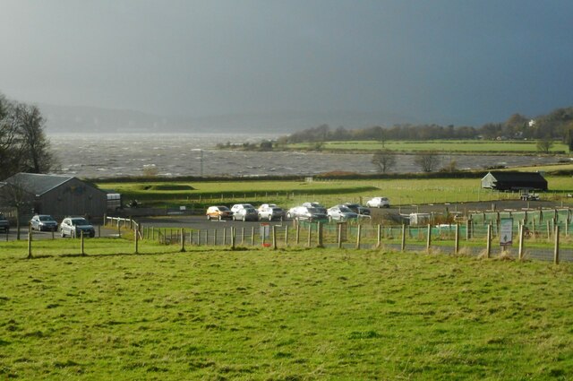
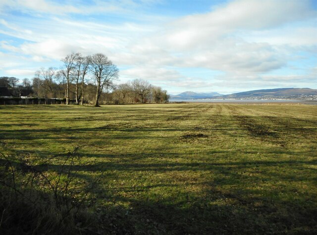
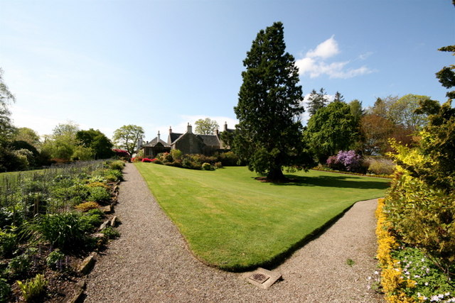
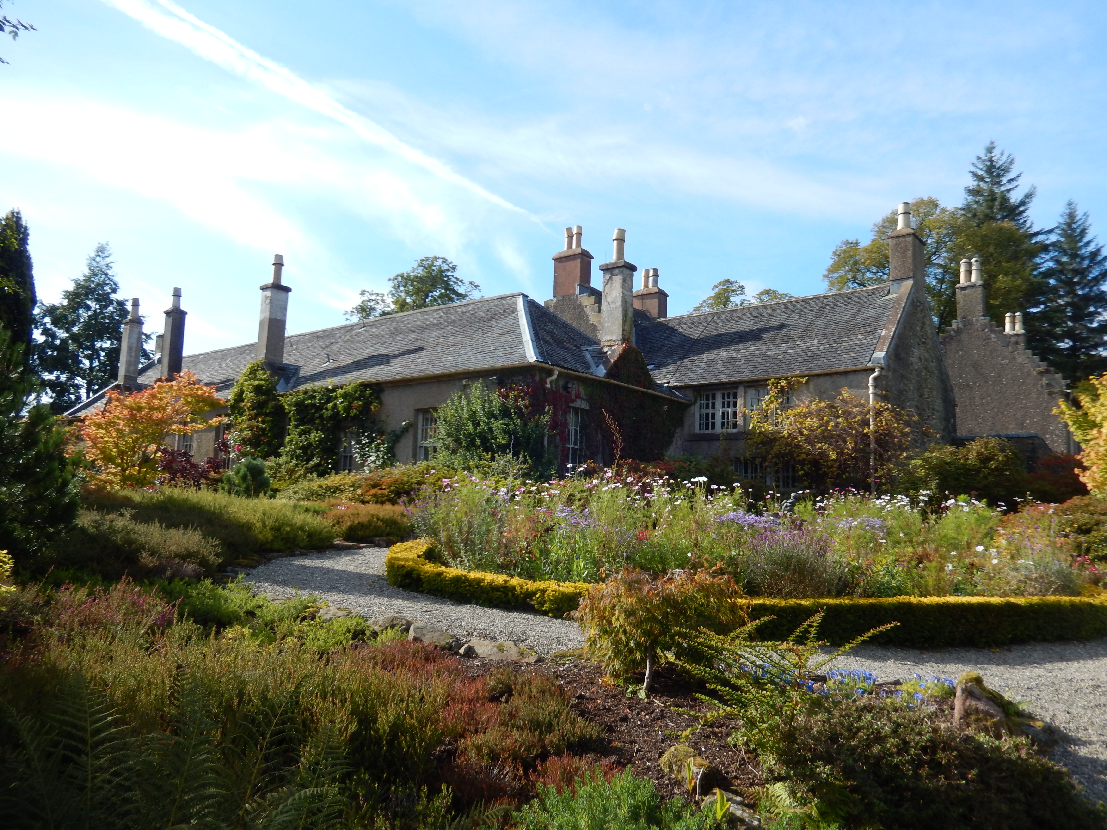
Lyleston Wood, located in Dunbartonshire, is a picturesque woodland area known for its natural beauty and tranquil surroundings. Spanning over a vast expanse of approximately 100 hectares, this ancient forest offers a haven of peace and tranquility, attracting nature lovers and outdoor enthusiasts alike.

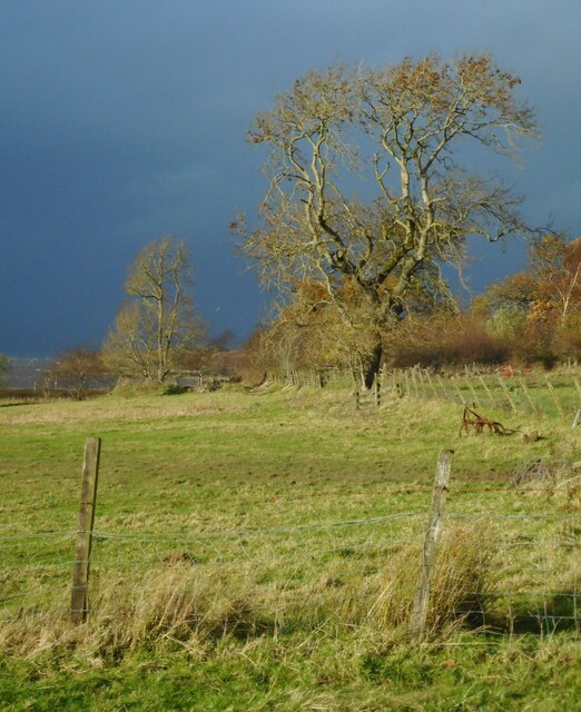
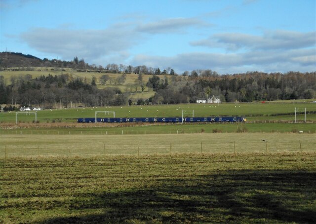
The wood is primarily composed of a diverse range of tree species, including oak, birch, beech, and conifers, which create a rich tapestry of colors throughout the year. The dense canopy provides shelter for a variety of bird species, making it an excellent spot for birdwatching enthusiasts to observe native and migratory birds in their natural habitat.

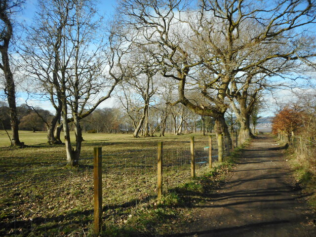
Lyleston Wood is crisscrossed by a network of well-maintained footpaths, offering visitors the opportunity to explore its hidden corners and discover its hidden gems. The trails wind through the wood, leading visitors past babbling brooks, moss-covered rocks, and ancient ruins, adding an element of mystery and history to the experience.

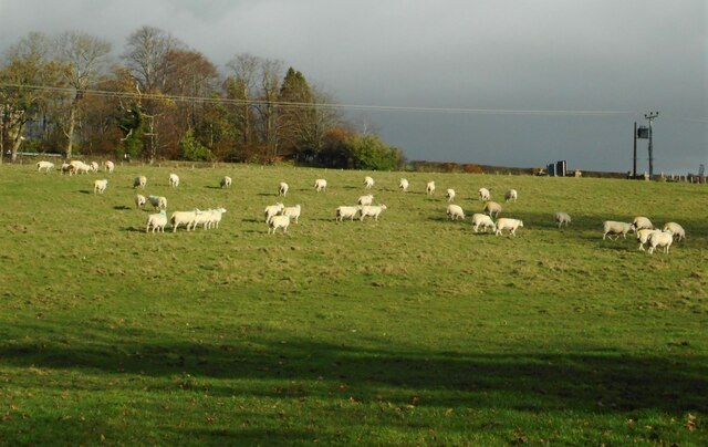
In addition to its natural beauty, Lyleston Wood is also home to a wide range of wildlife, including deer, foxes, badgers, and squirrels. The wood provides a vital habitat for these creatures, offering them sanctuary and protection from the outside world.

With its stunning vistas, diverse flora and fauna, and peaceful ambiance, Lyleston Wood is a true gem in Dunbartonshire. Whether you choose to explore its trails, immerse yourself in its tranquility, or simply enjoy a picnic amidst the beauty of nature, a visit to Lyleston Wood is sure to leave you feeling refreshed and rejuvenated.

If you have any feedback on the listing, please let us know in the comments section below.

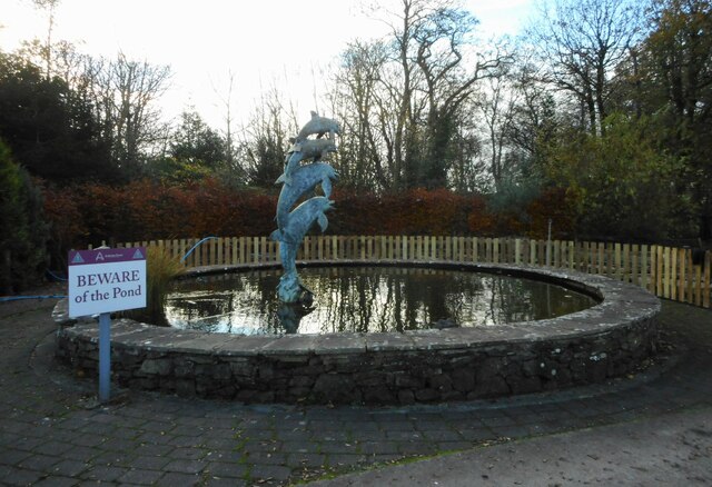
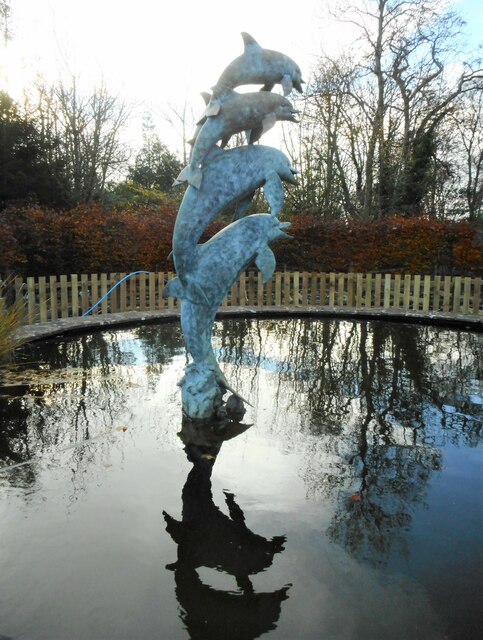
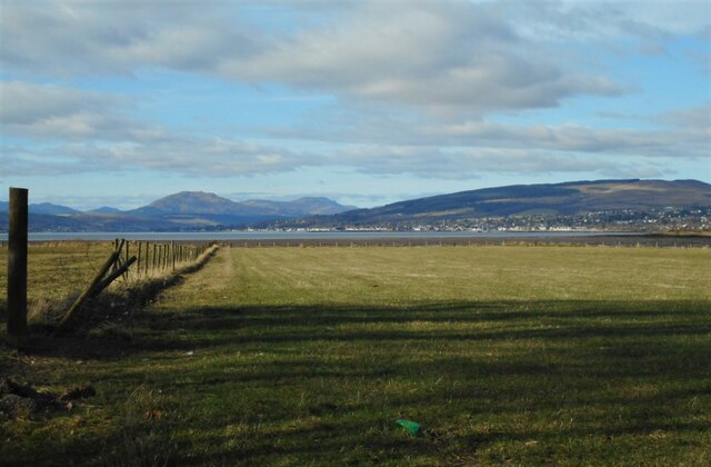
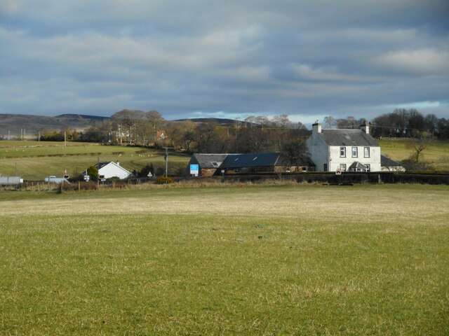
Lyleston Wood Images

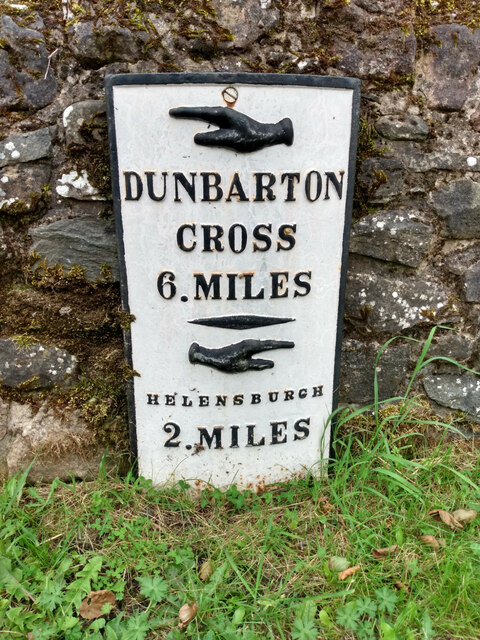
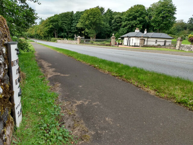
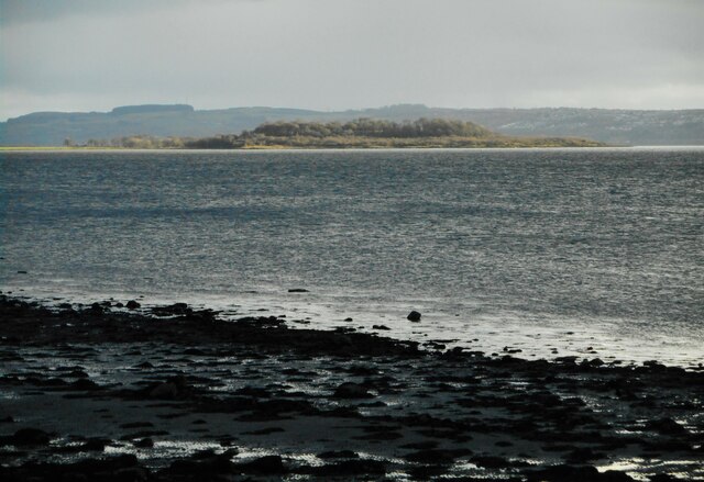
Images are sourced within 2km of 55.979417/-4.6741441 or Grid Reference NS3379. Thanks to Geograph Open Source API. All images are credited.

Old milepost On the west side of the A814 near the entrance to the Equestrian Centre at Colgrain is another of the slim, 7½cm deep, slightly curved mileposts.   Looked after and fixed to its own small wall.
Old milepost
On the west side of the A814 near the entrance to the Equestrian Centre at Colgrain is another of the slim, 7½cm deep, slightly curved mileposts. Looked after and fixed to its own small wall.
Old milepost Looking west along the A814, this shows the slim, curved line of these mileposts between Dumbarton and Helensburgh.   Dumbarton 3, 4, 6 and 7 dating from the late 19C, remain by the roadside.
Old milepost
Looking west along the A814, this shows the slim, curved line of these mileposts between Dumbarton and Helensburgh. Dumbarton 3, 4, 6 and 7 dating from the late 19C, remain by the roadside.
Ardmore Point Seen from Helensburgh. Dark clouds and rain were overhead in Helensburgh. The only place in sunshine was Ardmore Point, across the water.
Ardmore Point
Seen from Helensburgh. Dark clouds and rain were overhead in Helensburgh. The only place in sunshine was Ardmore Point, across the water.
Defibrillator and flowers At the entrance to Ardardan garden centre.
Defibrillator and flowers
At the entrance to Ardardan garden centre.
Entrance to the garden centre, Ardardan There is a defibrillator just inside the entrance <a href="https://www.geograph.org.uk/photo/7331454">NS3278 : Defibrillator and flowers</a>.
Entrance to the garden centre, Ardardan
There is a defibrillator just inside the entrance NS3278 : Defibrillator and flowers.
Grazing sheep In a field beside the A814 at Ardardan.
Grazing sheep
In a field beside the A814 at Ardardan.
Ardmore Point White horses on the Clyde on a very stormy, but mild day. The cars are in the overflow car park at Ardardan.
Ardmore Point
White horses on the Clyde on a very stormy, but mild day. The cars are in the overflow car park at Ardardan.
Ardmore Point White horses on the Clyde on a very stormy, but mild day. The cars are in the overflow car park at Ardardan.
Ardmore Point
White horses on the Clyde on a very stormy, but mild day. The cars are in the overflow car park at Ardardan.
Autumnal trees Still clinging onto a few leaves, despite a very strong wind on a very mild November day.
Autumnal trees
Still clinging onto a few leaves, despite a very strong wind on a very mild November day.
Beware of the pond Small circular pond, with dolphins fountain at the garden nursery at Ardardan.
Beware of the pond
Small circular pond, with dolphins fountain at the garden nursery at Ardardan.
Dolphins fountain In the small circular pond at the garden nursery at Ardardan <a href="https://www.geograph.org.uk/photo/7338379">NS3278 : Beware of the pond</a>. The fountain was not operating.
Dolphins fountain
In the small circular pond at the garden nursery at Ardardan NS3278 : Beware of the pond. The fountain was not operating.
Field, Ardmore Point Helensburgh is in the distance.
Field, Ardmore Point
Helensburgh is in the distance.
Lyleston Farm Just to the west of the A814, Cardross Road.
Lyleston Farm
Just to the west of the A814, Cardross Road.
Ardmore Farm Farm buildings beside the railway line to Helensburgh.
Ardmore Farm
Farm buildings beside the railway line to Helensburgh.
A passing train A train from Helensburgh to Edinburgh passes Ardmore. Beyond the train is the Category C listed <span class="nowrap"><a title="http://portal.historicenvironment.scot/designation/LB1180" rel="nofollow ugc noopener" href="http://portal.historicenvironment.scot/designation/LB1180">Link</a><img style="margin-left:2px;" alt="External link" title="External link - shift click to open in new window" src="https://s1.geograph.org.uk/img/external.png" width="10" height="10"/></span> Lyleston House, which dates from 1798.
A passing train
A train from Helensburgh to Edinburgh passes Ardmore. Beyond the train is the Category C listed LinkExternal link Lyleston House, which dates from 1798.
Empty field There was a distinct smell of manure in the air - the muck spreader must have been here recently.
Empty field
There was a distinct smell of manure in the air - the muck spreader must have been here recently.
New route for the footpath The old muddy path which crossed fields from Ardmore Road to the north shore <a href="https://www.geograph.org.uk/photo/6569100">NS3278 : Notices at the start of the path</a> has been replaced. The Helensburgh and District Access Trust has been working with volunteers to improve the paths around the Ardmore peninsula. Since 2021 the route now follows a farm track (seen here) to reach the north side.
New route for the footpath
The old muddy path which crossed fields from Ardmore Road to the north shore NS3278 : Notices at the start of the path has been replaced. The Helensburgh and District Access Trust has been working with volunteers to improve the paths around the Ardmore peninsula. Since 2021 the route now follows a farm track (seen here) to reach the north side.
Edge of the mudflats Low tide beside Ardmore Point.
Edge of the mudflats
Low tide beside Ardmore Point.
Show me another place!

Lyleston Wood is located at Grid Ref: NS3379 (Lat: 55.979417, Lng: -4.6741441)

Unitary Authority: Argyll and Bute

Police Authority: Argyll and West Dunbartonshire

What 3 Words

///seated.alongside.lifeboats. Near Cardross, Argyll & Bute

Nearby Locations

Low Strip Lyleston Wood

Related Wikis

Colgrain

Colgrain is a village in Argyll and Bute, Scotland, located to the east of Helensburgh.The name Colgrain is known from at least 1377 when Sir William Denzeltoun...

Geilston Garden

Geilston Garden is a property of the National Trust for Scotland, north-west of Cardross, Argyll and Bute. Geilston Garden was developed more than two...

Geilston

Geilston is a house and an area on the edge of the village of Cardross in Argyll and Bute, Scotland. It is the site of Geilston Garden, a National Trust...

Kilmahew Castle

Kilmahew Castle is a ruined castle located just north of Cardross, in the council area of Argyll and Bute, Scotland. The castle is close by the ruins of...

Nearby Amenities

Located within 500m of 55.979417,-4.6741441
Power: pole
Lat/Long: 55.9766198/-4.6801964
Power: pole
Lat/Long: 55.9771921/-4.6808344
Power: pole
Lat/Long: 55.9777773/-4.6814828
Power: pole
Lat/Long: 55.9750889/-4.675377
Power: pole
Lat/Long: 55.9754962/-4.6742579
Power: pole
Lat/Long: 55.9759445/-4.6730217
Power: pole
Lat/Long: 55.976415/-4.671752
Power: pole
Lat/Long: 55.9769089/-4.6704091
Power: pole
Lat/Long: 55.9773922/-4.6690725
Power: pole
Lat/Long: 55.9777024/-4.6682651
Power: pole
Lat/Long: 55.9781939/-4.6669306
Power: pole
Lat/Long: 55.9757151/-4.6708212
Power: pole
Lat/Long: 55.9771593/-4.6709111
Power: pole
Lat/Long: 55.9776404/-4.6718106
Power: pole
Lat/Long: 55.9780114/-4.6725427
Power: pole
Lat/Long: 55.9826/-4.6706737
Power: pole
Lat/Long: 55.9820266/-4.6691175
Power: pole
Lat/Long: 55.9816592/-4.6676052
Power: pole
Lat/Long: 55.9816311/-4.6755224
Power: pole
Lat/Long: 55.9820044/-4.6742632
Power: pole
Lat/Long: 55.9824362/-4.6728136
Power: pole
Lat/Long: 55.9825532/-4.6712971
The data included in this document is from www.openstreetmap.org. The data is made available under ODbL.

Have you been to Lyleston Wood?

Leave your review of Lyleston Wood below (or comments, questions and feedback).