Bathbank Plantation

Wood, Forest in Ayrshire

Scotland

Bathbank Plantation

Cattle, Auchenskeith
Cattle, Auchenskeith Credit: Richard Webb

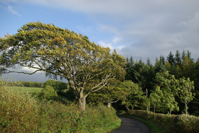
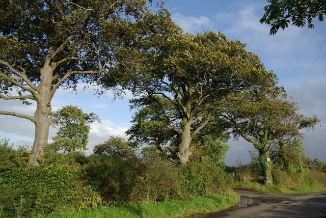
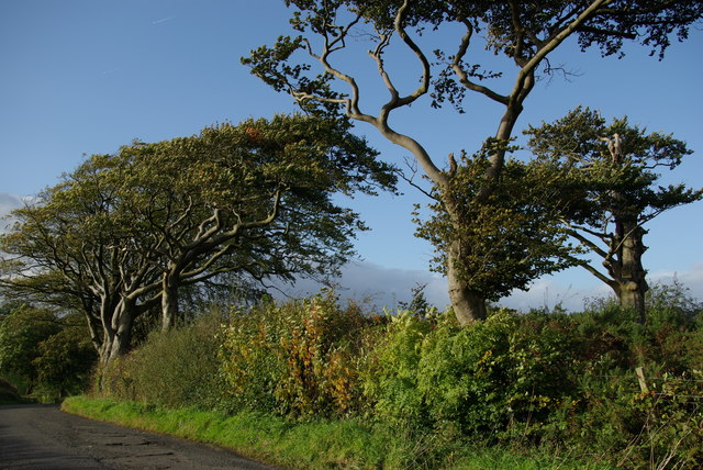
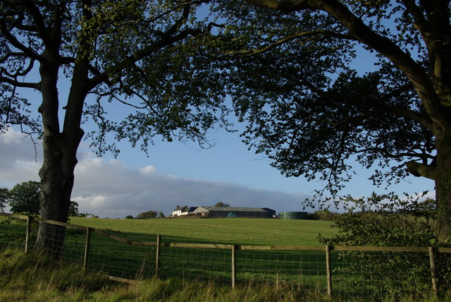
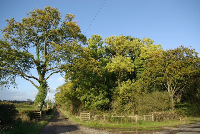
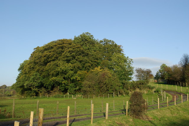
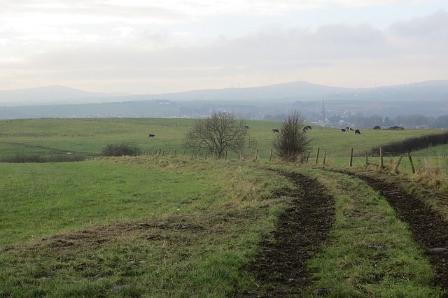
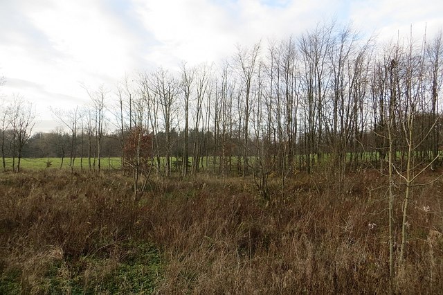
Bathbank Plantation is a picturesque woodland located in Ayrshire, Scotland. Spanning an area of approximately 100 acres, the plantation is known for its diverse range of trees and natural beauty. It is situated near the town of Galston, just a short distance away from the scenic River Irvine.

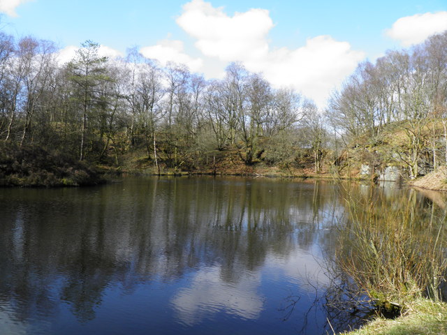
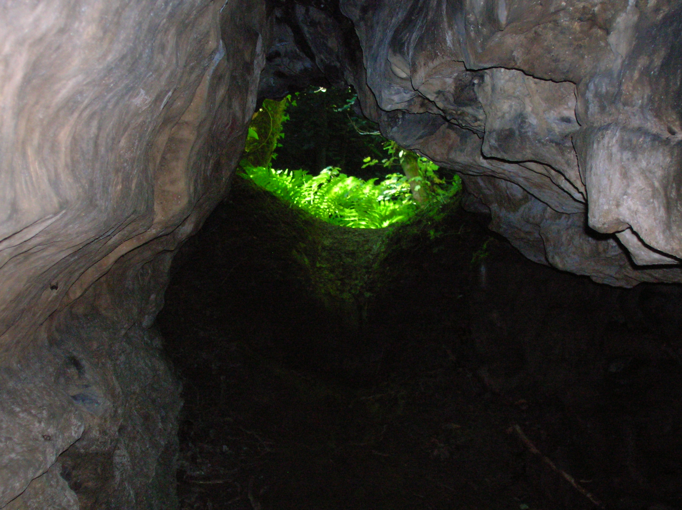
The woodland features a mix of deciduous and coniferous trees, including oak, beech, birch, and pine. These trees create a vibrant and lush canopy, providing a habitat for a variety of wildlife, including birds, squirrels, and deer. The undergrowth is rich in ferns, mosses, and wildflowers, adding to the enchanting atmosphere of the woodland.

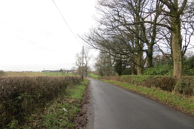
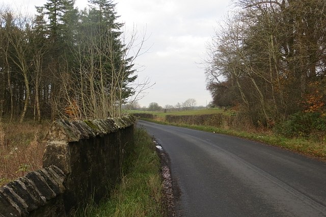
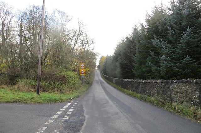
Visitors to Bathbank Plantation can explore the numerous walking trails that wind through the forest, offering stunning views of the surrounding countryside. The trails vary in length and difficulty, catering to all levels of hikers and nature enthusiasts. Additionally, benches and picnic areas are scattered throughout the plantation, allowing visitors to relax and immerse themselves in the tranquility of the surroundings.

Bathbank Plantation is a popular destination for outdoor activities such as walking, jogging, and horse riding. It also serves as an educational resource, with educational programs and guided tours organized to teach visitors about the local flora and fauna.

Overall, Bathbank Plantation is a haven of natural beauty and a cherished resource for the local community. Its serene atmosphere, diverse woodland, and abundance of wildlife make it a must-visit destination for those seeking a peaceful and immersive experience in nature.

If you have any feedback on the listing, please let us know in the comments section below.

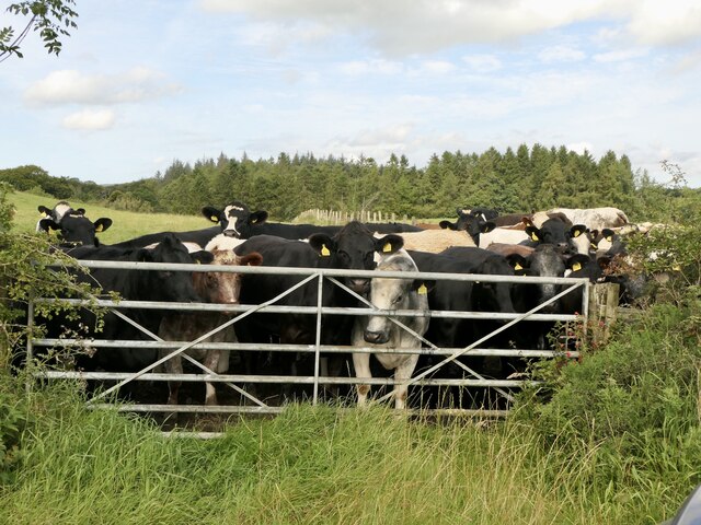
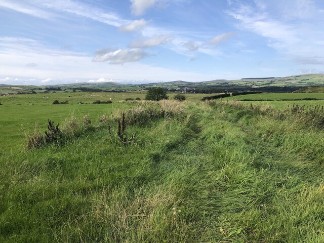
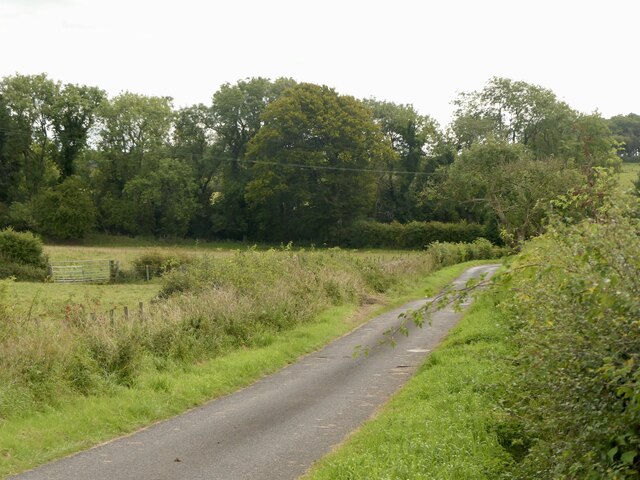
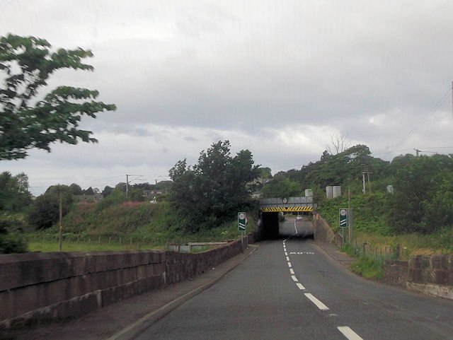
Bathbank Plantation Images

Images are sourced within 2km of 55.701579/-4.6854015 or Grid Reference NS3148. Thanks to Geograph Open Source API. All images are credited.

Cattle, Auchenskeith
Farm track near Dalry
Yellow road by Auchenskeith
A737 approaching railway bridge in Dalry
Minor road south of Cleeves
Cleeves road end
Cleeves road end
Minor road near Cleeves
Templandmuir Farm
Templandmuir Farm
Templandmuir Farm road end
Track leading to Bathbank Cottage
The Blue Waters
The Blue Waters
Blair Colliery site It has the appearance of a quarry, no buildings survive.
Blair Colliery site
It has the appearance of a quarry, no buildings survive.
B707 Swindridge Muir The field on the left has just been planted with trees.
B707 Swindridge Muir
The field on the left has just been planted with trees.
Green lane, Swindridgemuir A well surfaced farm road.
Green lane, Swindridgemuir
A well surfaced farm road.
November fields Seven years after <a href="https://www.geograph.org.uk/photo/616998">NS3049 : November Fields</a>. View towards Dalry.
November fields
Seven years after NS3049 : November Fields. View towards Dalry.
Woodland, Blair Young trees in the policies of Blair.
Woodland, Blair
Young trees in the policies of Blair.
Road passing Blair
Road passing Blair
Road passing Blair Here the parkland at Blair is hidden by a spruce strip. The roadsign is for a disused railway bridge at Cockenzie (Ayrshire version).
Road passing Blair
Here the parkland at Blair is hidden by a spruce strip. The roadsign is for a disused railway bridge at Cockenzie (Ayrshire version).
Show me another place!

Bathbank Plantation is located at Grid Ref: NS3148 (Lat: 55.701579, Lng: -4.6854015)

Unitary Authority: North Ayrshire

Police Authority: Ayrshire

What 3 Words

///patrolled.fights.extreme. Near Dalry, North Ayrshire

Related Wikis

Cleeves Cove

Cleeves Cove or Blair Cove is a solutional cave system on the Dusk Water in North Ayrshire, Scotland, close to the town of Dalry. == Cave system == The...

Swindridgemuir House and estate

Swindridgemuir House and estate were composed of the 'Lands of Swindridgemuir' and the dwelling house about two miles north-east of Dalry in the old Barony...

Dalry Junction railway station

Dalry Junction railway station was a railway station near the town of Dalry, North Ayrshire, Scotland. The station was originally part of the Glasgow,...

Highfield, North Ayrshire

Highfield is a small village or hamlet in North Ayrshire, Parish of Dalry, Scotland. It is situated between the settlements of Barkip and Dalry on the...

Nearby Amenities

Located within 500m of 55.701579,-4.6854015
Power: pole
Lat/Long: 55.6986995/-4.6793529
Power: pole
Lat/Long: 55.7001244/-4.6788332
Power: pole
Lat/Long: 55.6994075/-4.6785951
Power: pole
Lat/Long: 55.7009546/-4.6791088
Power: pole
Lat/Long: 55.7017542/-4.6793985
Power: pole
Lat/Long: 55.7022288/-4.6796345
Power: pole
Lat/Long: 55.7024948/-4.6796345
Power: pole
Lat/Long: 55.7033064/-4.679613
Power: pole
Lat/Long: 55.7040545/-4.6795192
Blair Colliery No9 Pit
Historic: mine
Lat/Long: 55.7037781/-4.6801717
Place: farm
Lat/Long: 55.6994525/-4.6830097
Place: farm
Lat/Long: 55.7044342/-4.6860353
Power: pole
Lat/Long: 55.7042486/-4.6866821
Power: pole
Lat/Long: 55.7037532/-4.6876904
Power: pole
Lat/Long: 55.7032508/-4.688707
Power: pole
Lat/Long: 55.7027942/-4.6896652
Power: pole
Lat/Long: 55.7025876/-4.6900881
Power: pole
Lat/Long: 55.6992725/-4.6788618
Power: pole
Lat/Long: 55.6995871/-4.6802034
Power: pole
Lat/Long: 55.699843/-4.6813262
Power: pole
Lat/Long: 55.7001013/-4.6824282
Power: pole
Lat/Long: 55.7001154/-4.6835948
Power: pole
Lat/Long: 55.7001154/-4.6842927
Power: pole
Lat/Long: 55.7006284/-4.6853738
Power: pole
Lat/Long: 55.700916/-4.6859613
Power: pole
Lat/Long: 55.7015581/-4.6866946
Power: pole
Lat/Long: 55.701895/-4.6877945
Power: pole
Lat/Long: 55.702219/-4.6889215
Power: pole
Lat/Long: 55.7029045/-4.691136
Power: pole
Lat/Long: 55.7032696/-4.6923192
Power: pole
Lat/Long: 55.6987958/-4.6854884
Power: pole
Lat/Long: 55.6990412/-4.685203
Power: pole
Lat/Long: 55.6992948/-4.6849072
Power: pole
Lat/Long: 55.6996963/-4.6846218
Power: pole
Lat/Long: 55.6998254/-4.6840635
Power: pole
Lat/Long: 55.6995296/-4.6837969
Power: pole
Lat/Long: 55.6999927/-4.6885393
Power: pole
Lat/Long: 55.7004951/-4.6871581
The data included in this document is from www.openstreetmap.org. The data is made available under ODbL.

Have you been to Bathbank Plantation?

Leave your review of Bathbank Plantation below (or comments, questions and feedback).