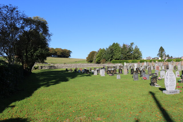
Burnt House Wood
Wood, Forest in Wigtownshire
Scotland
Burnt House Wood

Burnt House Wood is a picturesque forest located in Wigtownshire, a region in the southwest of Scotland. Covering an area of approximately 100 acres, the wood is known for its rich biodiversity and scenic beauty. The name "Burnt House" is derived from an old ruined cottage that was once situated within the woodland, adding a sense of history and mystery to the area.
The forest is predominantly made up of native broadleaf trees, including oak, beech, and ash. These towering trees create a dense canopy, which provides a habitat for various bird species such as woodpeckers and owls. The forest floor is carpeted with lush ferns, wildflowers, and mosses, creating a vibrant and tranquil atmosphere.
Burnt House Wood is also home to a diverse range of wildlife. Red squirrels can often be spotted darting between the trees, while deer roam freely in the quieter parts of the forest. The wood is also a haven for smaller creatures like badgers, foxes, and rabbits.
The wood offers several walking trails, allowing visitors to explore its charming surroundings. The paths wind through the forest, offering glimpses of enchanting glades and babbling brooks. These trails cater to both casual strollers and more experienced hikers, making the wood accessible to all.
Burnt House Wood is not only a haven for nature lovers but also a valuable educational resource. Local schools and organizations often use the wood as an outdoor classroom, teaching children about the importance of conservation and the natural world.
Overall, Burnt House Wood is a captivating forest that offers a serene escape from the hustle and bustle of everyday life. Its natural beauty, diverse wildlife, and educational opportunities make it a cherished destination for locals and tourists alike.
If you have any feedback on the listing, please let us know in the comments section below.
Burnt House Wood Images
Images are sourced within 2km of 54.916135/-4.6331074 or Grid Reference NX3161. Thanks to Geograph Open Source API. All images are credited.
Burnt House Wood is located at Grid Ref: NX3161 (Lat: 54.916135, Lng: -4.6331074)
Unitary Authority: Dumfries and Galloway
Police Authority: Dumfries and Galloway
What 3 Words
///exotic.sparkle.smiling. Near Newton Stewart, Dumfries & Galloway
Nearby Locations
Related Wikis
Kirkcowan railway station
Kirkcowan railway station served the village of Kirkcowan, Dumfries and Galloway, Scotland from 1861 to 1965 on the Portpatrick and Wigtownshire Joint...
Kirkcowan
Kirkcowan is an area about 15 miles in length, and from nearly two to nearly seven miles in breadth, comprising 30,580 acres, of which 7000 are arable...
Barhapple Loch
Barhapple Loch is a small semicircular freshwater loch located in Wigtownshire, Dumfries and Galloway in Scotland. Barhapple Loch is principally known...
Tarf Water, Wigtownshire
The Tarf Water is a river in the former county of Wigtownshire in south-west Scotland. It rises on the Ayrshire border (55.0048°N 4.7815°W / 55.0048;...
Related Videos
01. A weekend away at the Balloch O' Dee Camp Site - Newton Stewart. Royal Enfield 650 Interceptor
Hozzászólásokat elolvasom és válaszolok mindegyikre rövid időn belül! Kérek szépen mindenkit ,hogy próbáljunk szitkozódás és ...
Nearby Amenities
Located within 500m of 54.916135,-4.6331074Have you been to Burnt House Wood?
Leave your review of Burnt House Wood below (or comments, questions and feedback).


