Ladycross Wood

Wood, Forest in Ayrshire

Scotland

Ladycross Wood

Open space at Tunnoch Farm housing site The foreground of this shot shows a typical view of The Glebe after a period of wet weather. The developer’s website describes this part of the site as “natural open space”. The area on the other side of the temporary fence will hold the SUDS pond which is to help control the flow of rainwater from the site. <a href="https://www.geograph.org.uk/photo/5938829">NS3009 : Maybole From Tunnoch</a> and <a href="https://www.geograph.org.uk/photo/6763832">NS3009 : Preparatory work at Tunnoch Farm building site</a> show that this has always been a boggy site.
Open space at Tunnoch Farm housing site Credit: Mary and Angus Hogg

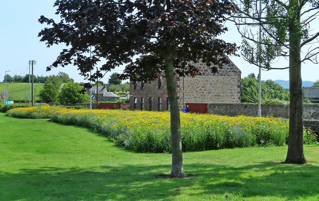
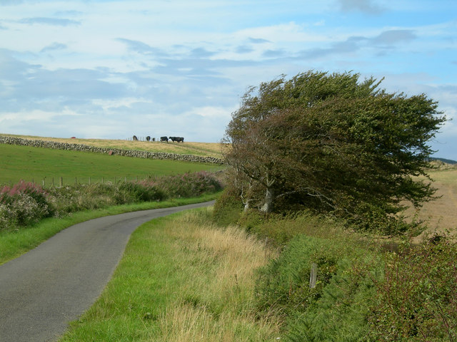
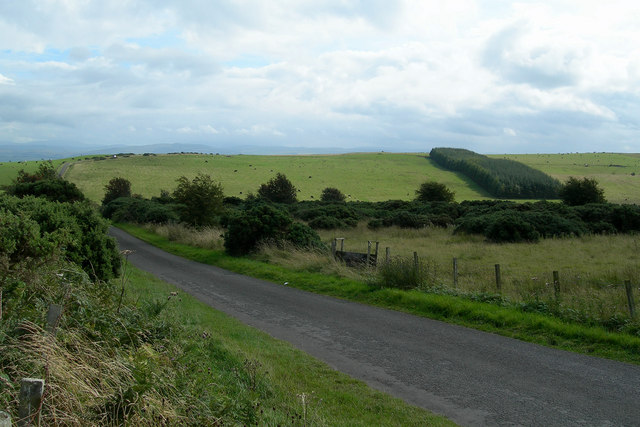
Ladycross Wood is a picturesque woodland located in Ayrshire, Scotland. Covering an area of approximately 100 acres, this enchanting forest offers a peaceful and serene retreat for nature enthusiasts and outdoor lovers alike.

The wood is primarily composed of native broadleaf trees such as oak, beech, and birch, creating a diverse and vibrant ecosystem that supports a wide range of flora and fauna. The dense canopy provides ample shade, making it an ideal spot for leisurely walks, bird watching, and picnics.

Trails and footpaths wind their way through the wood, allowing visitors to explore and immerse themselves in the natural beauty that surrounds them. Along these paths, one may encounter various wildlife species, including red squirrels, roe deer, and a plethora of bird species, including woodpeckers and songbirds.

In addition to its natural charm, Ladycross Wood is also steeped in history. The wood is believed to have been part of the ancient Barony of Kilmarnock and has ties to the local community dating back centuries. There are remnants of old stone walls and ruins that hint at a rich past, providing a glimpse into the area's historical significance.

Ladycross Wood is easily accessible, with designated parking areas and a well-maintained entrance. It offers a peaceful escape from the hustle and bustle of daily life, allowing visitors to connect with nature and enjoy the tranquility that only a woodland setting can provide.

If you have any feedback on the listing, please let us know in the comments section below.

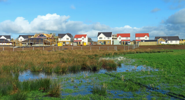
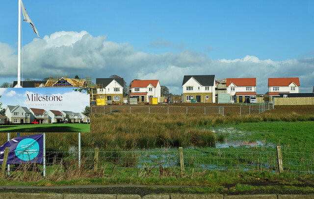
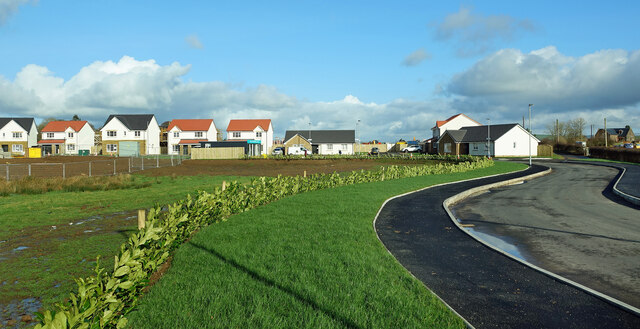
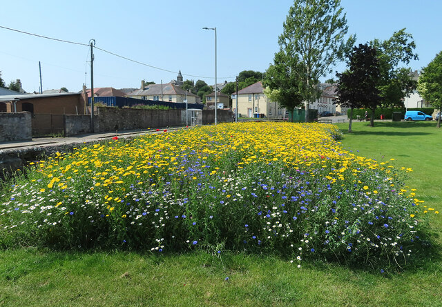
Ladycross Wood Images

Images are sourced within 2km of 55.363239/-4.699121 or Grid Reference NS2911. Thanks to Geograph Open Source API. All images are credited.

Open space at Tunnoch Farm housing site The foreground of this shot shows a typical view of The Glebe after a period of wet weather. The developer’s website describes this part of the site as “natural open space”. The area on the other side of the temporary fence will hold the SUDS pond which is to help control the flow of rainwater from the site. <a href="https://www.geograph.org.uk/photo/5938829">NS3009 : Maybole From Tunnoch</a> and <a href="https://www.geograph.org.uk/photo/6763832">NS3009 : Preparatory work at Tunnoch Farm building site</a> show that this has always been a boggy site.
Open space at Tunnoch Farm housing site
The foreground of this shot shows a typical view of The Glebe after a period of wet weather. The developer’s website describes this part of the site as “natural open space”. The area on the other side of the temporary fence will hold the SUDS pond which is to help control the flow of rainwater from the site. NS3009 : Maybole From Tunnoch and NS3009 : Preparatory work at Tunnoch Farm building site show that this has always been a boggy site.
Milestone housing at Tunnoch Farm Some of the houses in Phase 1 are already occupied. <a href="https://www.geograph.org.uk/photo/6763838">NS3009 : New housing for Maybole</a> shows the site in February 2021 before the building work had begun.
Milestone housing at Tunnoch Farm
Some of the houses in Phase 1 are already occupied. NS3009 : New housing for Maybole shows the site in February 2021 before the building work had begun.
New housing for Maybole Some of the houses in Phase 1 of the Tunnoch Farm development are already occupied. This view shows the access road for the site with the original farm buildings visible on the far right.
New housing for Maybole
Some of the houses in Phase 1 of the Tunnoch Farm development are already occupied. This view shows the access road for the site with the original farm buildings visible on the far right.
Maybole High Street after the by-pass opened We always knew that the new by-pass would make a big difference to the town centre but the result has exceeded expectations, especially for pedestrians. This is what High Street could look like before – <a href="https://www.geograph.org.uk/photo/6228904">NS3009 : Traffic congestion in Maybole</a> was taken in August 2019 and <a href="https://www.geograph.org.uk/photo/241340">NS2909 : Heavy traffic in Whitehall</a> in neighbouring Whitehall in September 2006. The next stage will be town centre regeneration.
Maybole High Street after the by-pass opened
We always knew that the new by-pass would make a big difference to the town centre but the result has exceeded expectations, especially for pedestrians. This is what High Street could look like before – NS3009 : Traffic congestion in Maybole was taken in August 2019 and NS2909 : Heavy traffic in Whitehall in neighbouring Whitehall in September 2006. The next stage will be town centre regeneration.
Bumblebee on cornflower There’s a lovely mixture of yellow Corn Marigold, red Poppies, blue Cornflower, mauve Corn Cockle and white Chamomile in Maybole's wild flower beds. At the moment, the bees seem to favour the Cornflower.
Bumblebee on cornflower
There’s a lovely mixture of yellow Corn Marigold, red Poppies, blue Cornflower, mauve Corn Cockle and white Chamomile in Maybole's wild flower beds. At the moment, the bees seem to favour the Cornflower.
Wild flowers in Maybole South Ayrshire Council has invested in wild flower beds in its towns and villages. The one along the roadside at The Glebe in Maybole has worked out spectacularly well. It’s easy to assume that the flowers are all yellow but closer inspection shows that this is not the case. The mixture is based on yellow Corn Marigold, red Poppies, blue Cornflower, mauve Corn Cockle and white Chamomile.
Wild flowers in Maybole
South Ayrshire Council has invested in wild flower beds in its towns and villages. The one along the roadside at The Glebe in Maybole has worked out spectacularly well. It’s easy to assume that the flowers are all yellow but closer inspection shows that this is not the case. The mixture is based on yellow Corn Marigold, red Poppies, blue Cornflower, mauve Corn Cockle and white Chamomile.
New flower bed in Maybole South Ayrshire Council has invested in wild flower beds in its towns and villages. The one along the roadside at The Glebe in Maybole has worked out spectacularly well. The Glebe site enjoys shelter from roadside wall and fence and it gets the sun for most of the day.
New flower bed in Maybole
South Ayrshire Council has invested in wild flower beds in its towns and villages. The one along the roadside at The Glebe in Maybole has worked out spectacularly well. The Glebe site enjoys shelter from roadside wall and fence and it gets the sun for most of the day.
Maybole's wild flowers There have been spectacular results with South Ayrshire Council’s wild flower beds that were created in the spring. The one along the roadside at The Glebe has worked out particularly well. A closer look shows that it’s not only yellow. See <a href="https://www.geograph.org.uk/photo/7235399">NS3009 : Wild flowers in Maybole</a> The Council plans to cut the wild flower beds twice a year to keep them healthy and under control.
Maybole's wild flowers
There have been spectacular results with South Ayrshire Council’s wild flower beds that were created in the spring. The one along the roadside at The Glebe has worked out particularly well. A closer look shows that it’s not only yellow. See NS3009 : Wild flowers in Maybole The Council plans to cut the wild flower beds twice a year to keep them healthy and under control.
Tunnoch Park Tunnoch Park housing development on the southern edge of Maybole.  <a href="https://www.geograph.org.uk/photo/6763828">NS3009 : Tunnoch Farm housing site</a> shows the pre-development scene in February 2021. The opening of Maybole By-Pass has made the town a more accessible location for people who work further north.
Tunnoch Park
Tunnoch Park housing development on the southern edge of Maybole. NS3009 : Tunnoch Farm housing site shows the pre-development scene in February 2021. The opening of Maybole By-Pass has made the town a more accessible location for people who work further north.
Town Hall, Maybole With Renovation work in progress.
Town Hall, Maybole
With Renovation work in progress.
High Street, Maybole Heading towards Ayr.
High Street, Maybole
Heading towards Ayr.
High Street, Maybole Leading to Whitehall from the junction with John Knox Street. On the left is the Town Hall.
High Street, Maybole
Leading to Whitehall from the junction with John Knox Street. On the left is the Town Hall.
John Knox Street, Maybole Viewed from the High Street.
John Knox Street, Maybole
Viewed from the High Street.
The former Co-op Store in Maybole This store dates back to the early days of supermarkets starting in the 1970s with R&J Templeton’s first self-service chain.  Various food outlets have been here up to 2023 when the Co-op moved to its new premises on the edge of the town <a href="https://www.geograph.org.uk/photo/7595468">NS2909 : Welcome to Maybole’s new Co-op</a>   At the moment, there are no plans for any new business in the old store.  The closed-up shop adds to the general run-down image of Maybole but a regeneration project hopes to breathe new life into the High Street.
The former Co-op Store in Maybole
This store dates back to the early days of supermarkets starting in the 1970s with R&J Templeton’s first self-service chain. Various food outlets have been here up to 2023 when the Co-op moved to its new premises on the edge of the town NS2909 : Welcome to Maybole’s new Co-op At the moment, there are no plans for any new business in the old store. The closed-up shop adds to the general run-down image of Maybole but a regeneration project hopes to breathe new life into the High Street.
Maybole Castle
Maybole Castle
Covenanters' Memorial The Memorial stands on the site of the illegal conventicle at which Donald Cargill preached in 1681
Covenanters' Memorial
The Memorial stands on the site of the illegal conventicle at which Donald Cargill preached in 1681
Wind-shaped trees Wind-shaped trees on the southern edge of the Carrick Hills, above Maybole
Wind-shaped trees
Wind-shaped trees on the southern edge of the Carrick Hills, above Maybole
Hill road Looking south along Cycle Route 7 towards Maybole
Hill road
Looking south along Cycle Route 7 towards Maybole
Show me another place!

Ladycross Wood is located at Grid Ref: NS2911 (Lat: 55.363239, Lng: -4.699121)

Unitary Authority: South Ayrshire

Police Authority: Ayrshire

What 3 Words

///boil.gong.rider. Near Maybole, South Ayrshire

Related Wikis

St Oswald's Church, Maybole

St Oswald's Church is a congregation of the Scottish Episcopal Church located in Maybole, Ayrshire, Scotland. The current Priest-in-Charge is The Rev....

Maybole railway station

Maybole railway station is a railway station serving the town of Maybole, South Ayrshire, Scotland. The station is owned by Network Rail and managed by...

Maybole Baptist Church

Maybole Baptist Church is a Baptist church in Maybole, South Ayrshire, Scotland. It arose from a Maybole prayer group started in 1898 that was admitted...

Carrick Academy

Carrick Academy (Scottish Gaelic: Acadamaidh Charraig) is a state-run secondary school, administered by South Ayrshire Council and situated in the Maybole...

Nearby Amenities

Located within 500m of 55.363239,-4.699121
Place: farm
Lat/Long: 55.3660921/-4.7003301
Power: pole
Lat/Long: 55.3590562/-4.6980258
Power: pole
Lat/Long: 55.3594568/-4.6973003
Power: pole
Lat/Long: 55.3599561/-4.696401
Power: pole
Lat/Long: 55.3604554/-4.6954993
Power: pole
Lat/Long: 55.3605714/-4.6952861
Power: pole
Lat/Long: 55.3609522/-4.6945721
Power: pole
Lat/Long: 55.361134/-4.693288
Power: pole
Lat/Long: 55.3668396/-4.6952907
Power: pole
Lat/Long: 55.3665591/-4.6964914
Power: pole
Lat/Long: 55.3663364/-4.697451
Power: pole
Lat/Long: 55.3660822/-4.6985381
Power: pole
Lat/Long: 55.3658332/-4.6996298
Power: pole
Lat/Long: 55.3654775/-4.7008652
Power: pole
Lat/Long: 55.3651126/-4.7021262
Power: pole
Lat/Long: 55.3653445/-4.7035053
Power: pole
Lat/Long: 55.365737/-4.70475
The data included in this document is from www.openstreetmap.org. The data is made available under ODbL.

Have you been to Ladycross Wood?

Leave your review of Ladycross Wood below (or comments, questions and feedback).