Highlandman's Wood
Wood, Forest in Dunbartonshire
Scotland
Highlandman's Wood
Highlandman's Wood is a picturesque forest located in Dunbartonshire, Scotland. Covering an area of approximately 100 acres, it is a haven for nature lovers and outdoor enthusiasts alike.
The wood is characterized by its dense canopy of towering trees, mainly consisting of oak, beech, and birch. The lush undergrowth is home to a variety of flora, including bluebells, wild garlic, and ferns, adding to the woodland's charm. The forest floor is carpeted with a thick layer of moss, providing a soft and cushioned path for visitors to explore.
Tranquility is a defining feature of Highlandman's Wood, with only the gentle rustling of leaves and the occasional chirping of birds breaking the silence. The presence of wildlife is abundant, with red squirrels, foxes, and a diverse range of bird species such as woodpeckers and owls calling this woodland home. The wood is also known to host a variety of insects, including butterflies and dragonflies.
There are several well-maintained walking trails throughout the wood, allowing visitors to fully immerse themselves in its natural beauty. These paths wind through the forest, offering stunning views of the surrounding countryside and the nearby Kilpatrick Hills. Highlandman's Wood is also a popular destination for birdwatching and photography enthusiasts, as it provides numerous opportunities to capture the beauty of the local wildlife and landscapes.
Overall, Highlandman's Wood is a true gem in Dunbartonshire, offering a peaceful and enchanting escape from the hustle and bustle of everyday life.
If you have any feedback on the listing, please let us know in the comments section below.
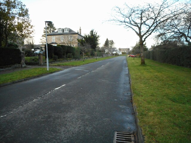
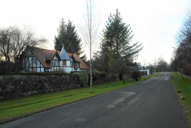
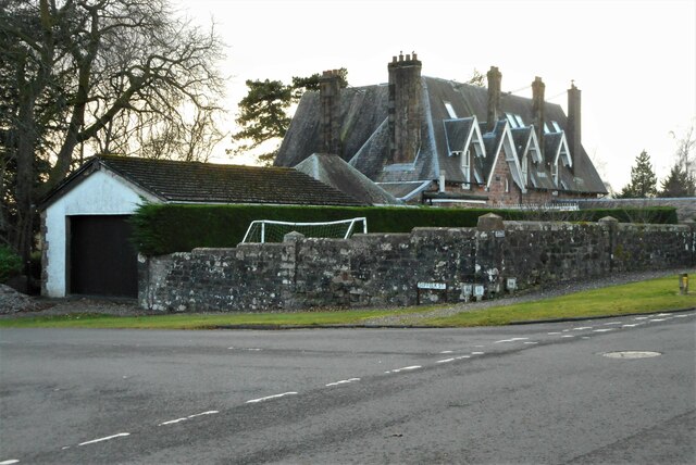
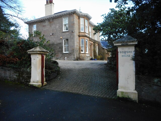
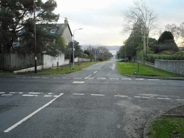
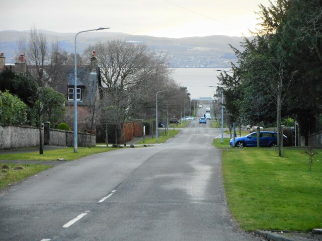
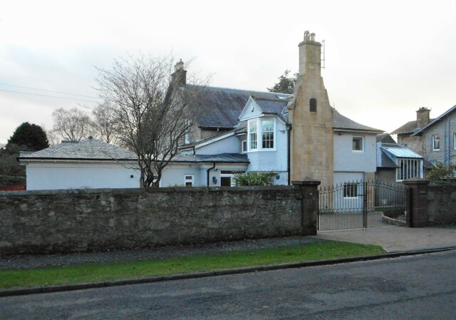
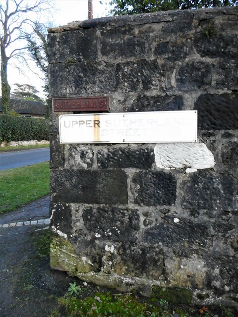
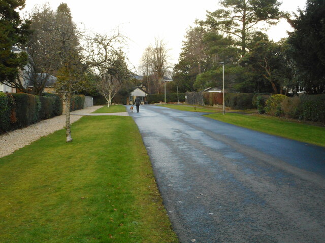
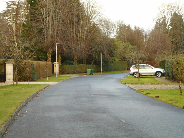
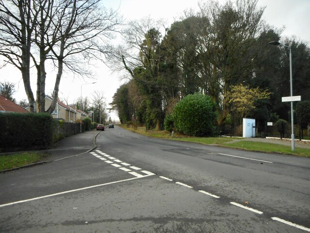
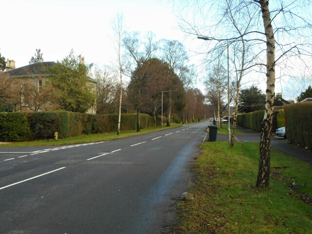
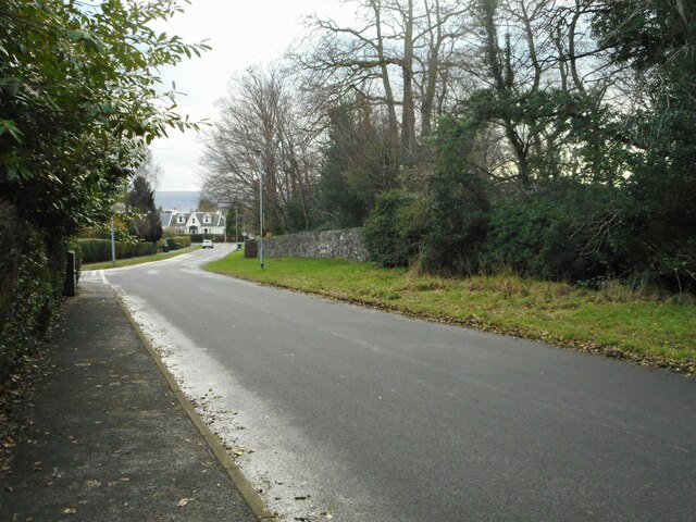
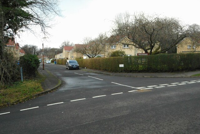
Highlandman's Wood Images
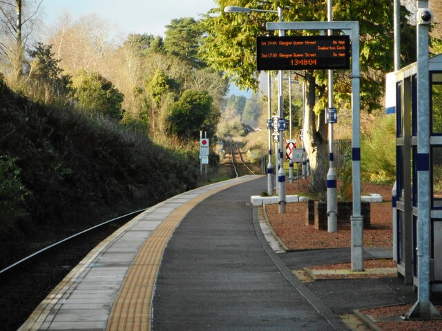
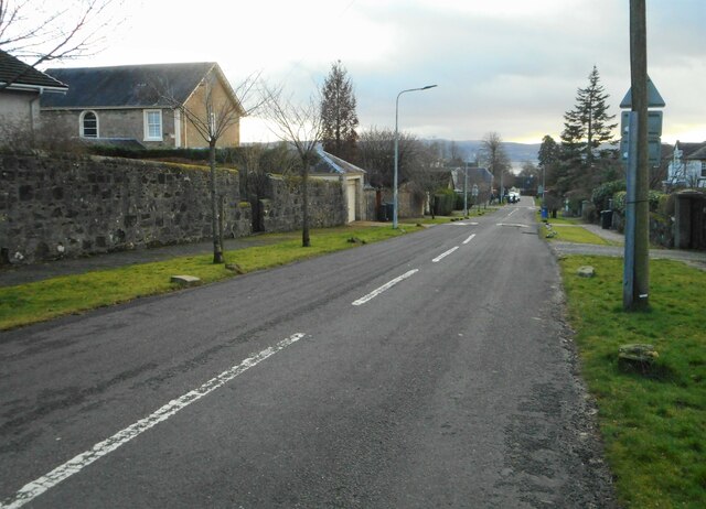
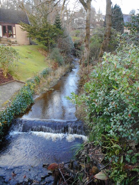
Images are sourced within 2km of 56.025899/-4.7524127 or Grid Reference NS2884. Thanks to Geograph Open Source API. All images are credited.
Highlandman's Wood is located at Grid Ref: NS2884 (Lat: 56.025899, Lng: -4.7524127)
Unitary Authority: Argyll and Bute
Police Authority: Argyll and West Dunbartonshire
What 3 Words
///fled.contracts.risky. Near Rhu, Argyll & Bute
Nearby Locations
Related Wikis
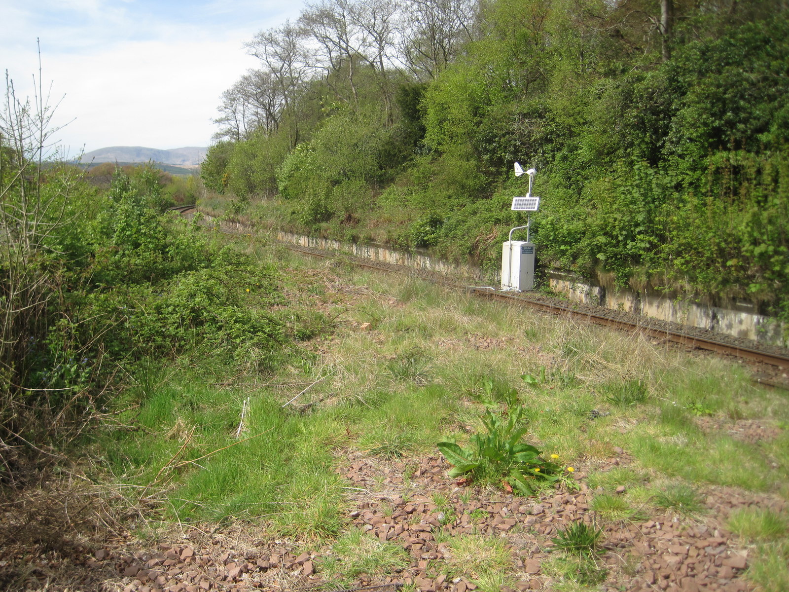
Rhu railway station
Rhu is a closed railway station located in the village of Rhu, in Argyll and Bute, Scotland, on the east shore of Gare Loch. It is located towards the...

Ardencaple Park
Ardencaple Park was a football ground in Helensburgh, Scotland. It was the home ground of Helensburgh F.C. during their time in the Scottish Football League...
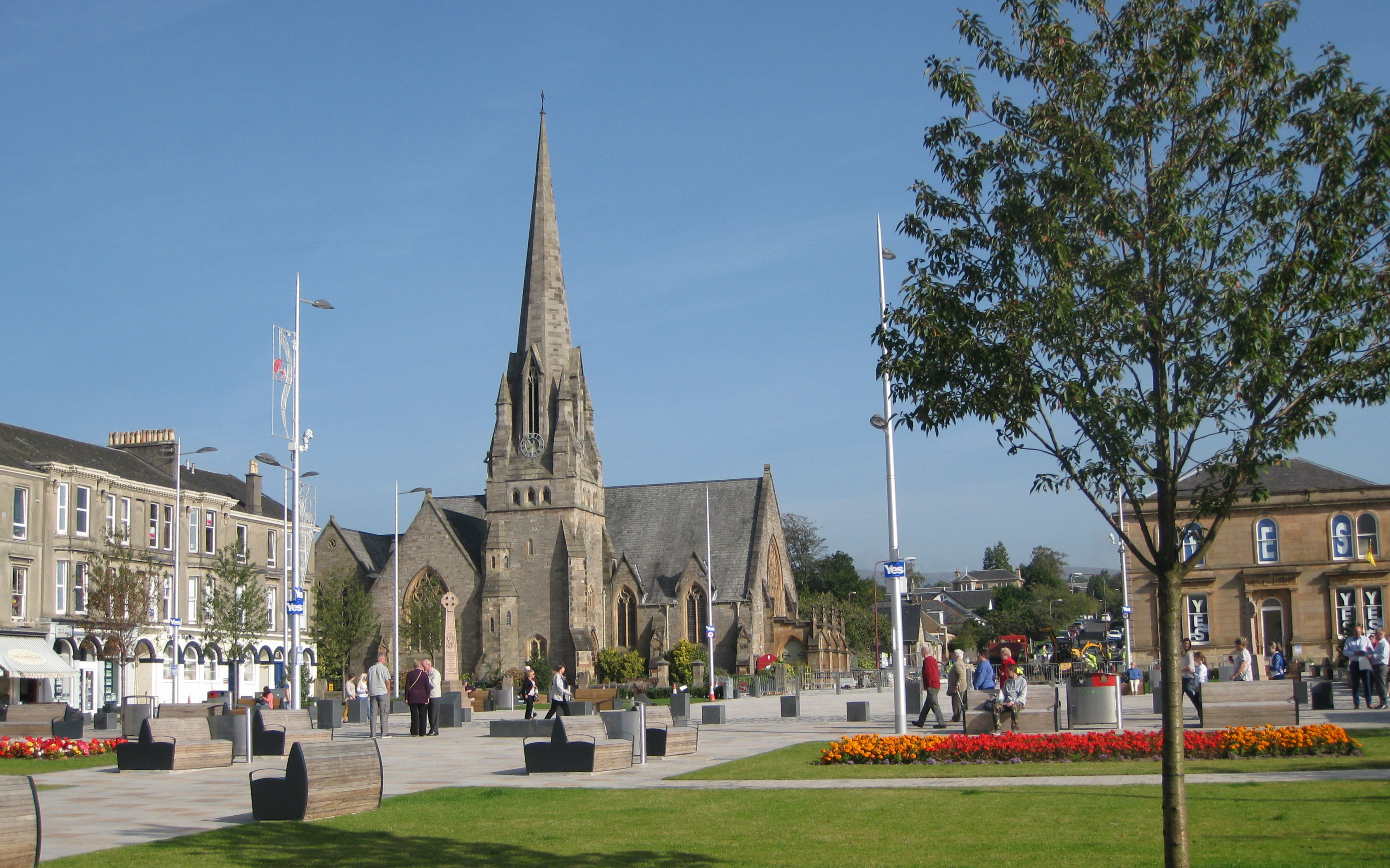
Helensburgh
Helensburgh (; Scottish Gaelic: Baile Eilidh) is a coastal town on the north side of the Firth of Clyde in Scotland, situated at the mouth of the Gareloch...

Hill House, Helensburgh
The Hill House in Helensburgh, Scotland, was created by architects and designers Charles and Margaret Macdonald Mackintosh. The house is an example of...
Nearby Amenities
Located within 500m of 56.025899,-4.7524127Have you been to Highlandman's Wood?
Leave your review of Highlandman's Wood below (or comments, questions and feedback).