Alpheton

Settlement in Suffolk Babergh

England

Alpheton

A134 looking north A route from Colchester to King's Lynn, next major place, Bury St Edmunds. A 30 limit applies here for Alpheton.
A134 looking north Credit: Robin Webster

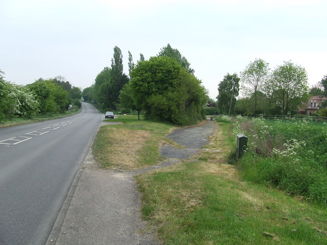
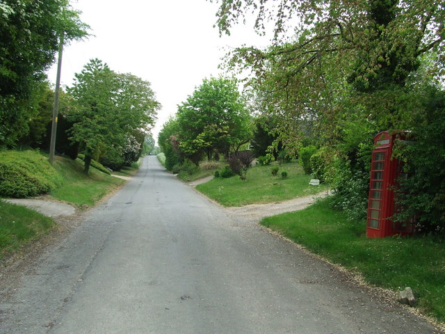
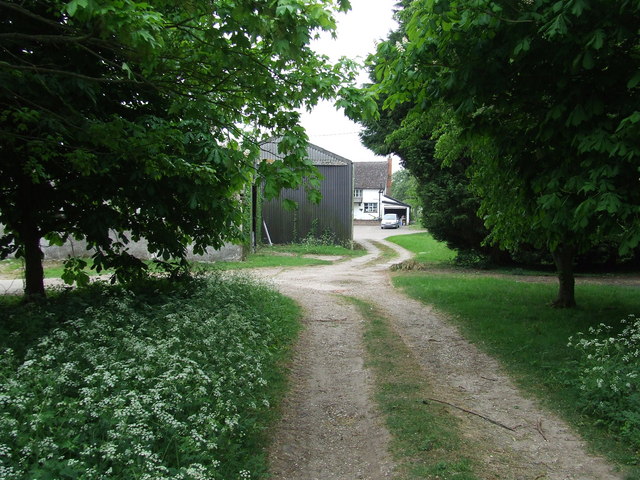
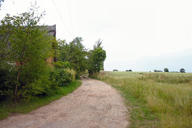
Alpheton is a small village located in the county of Suffolk, England. Situated in the Babergh district, it lies approximately 9 miles south of Bury St Edmunds and 12 miles north of Sudbury. The village is nestled in a picturesque countryside setting, surrounded by fields, meadows, and rolling hills, creating a tranquil and idyllic atmosphere.

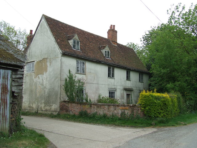
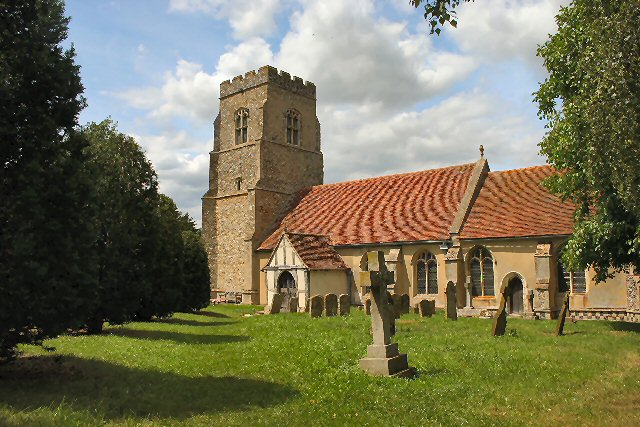
With a population of around 200 residents, Alpheton is a close-knit community known for its strong sense of community spirit and friendly atmosphere. The village retains a traditional charm, with many historic buildings and thatched-roof cottages dating back to the 16th and 17th centuries. St Peter and St Paul's Church, a Grade I listed building, is a prominent feature in the village, showcasing stunning medieval architecture.

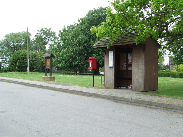
Alpheton offers its residents a range of amenities and facilities. The village is home to a local pub, The-Bull-Inn, which serves as a social hub and a place for residents to meet and relax. There is also a village hall that hosts various community events throughout the year.

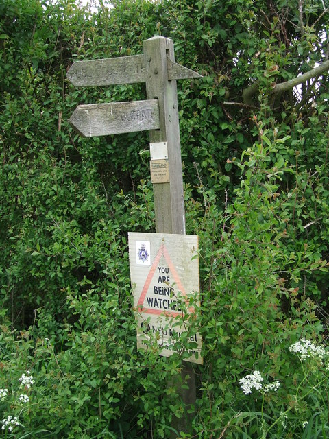
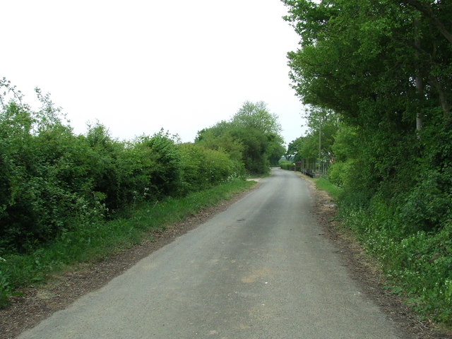
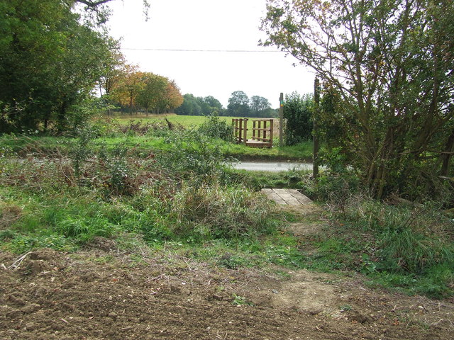
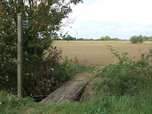
Surrounded by beautiful countryside, Alpheton provides ample opportunities for outdoor activities. The area is crisscrossed by footpaths and bridleways, ideal for hiking, cycling, and horse riding. The village is also within easy reach of the Stour Valley, an Area of Outstanding Natural Beauty, offering stunning landscapes and scenic walks.

Overall, Alpheton is a charming and tranquil village with a strong community spirit, making it an ideal place to reside for those seeking a peaceful and picturesque countryside lifestyle.

If you have any feedback on the listing, please let us know in the comments section below.
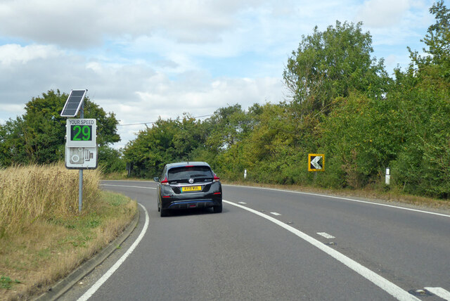
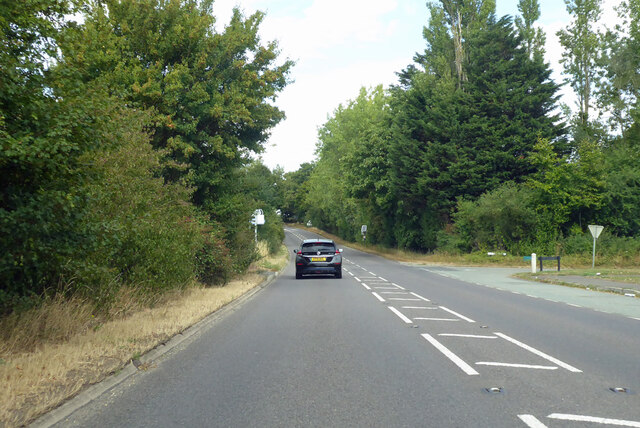
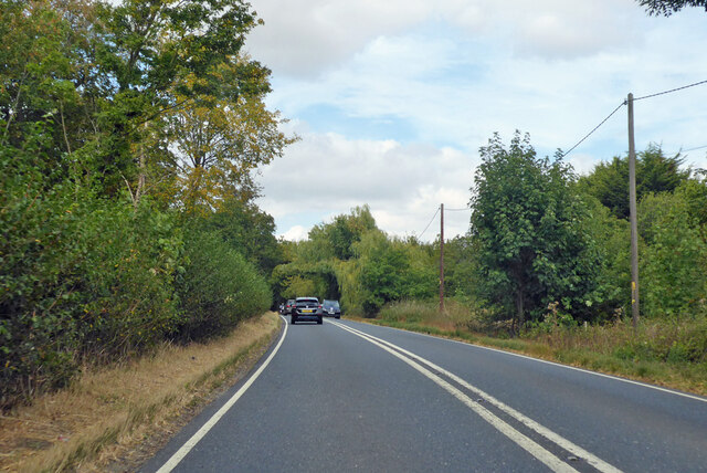
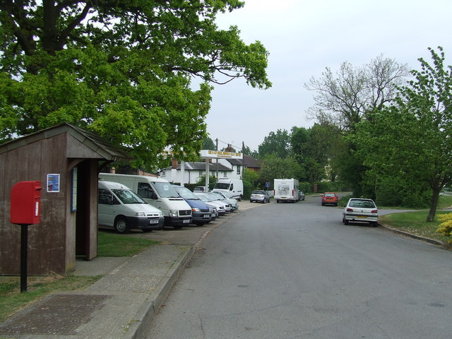
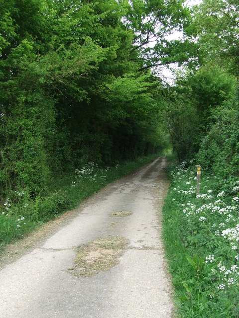
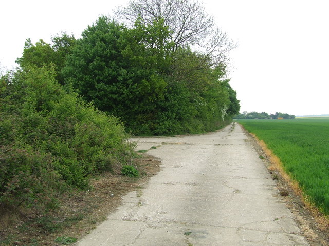
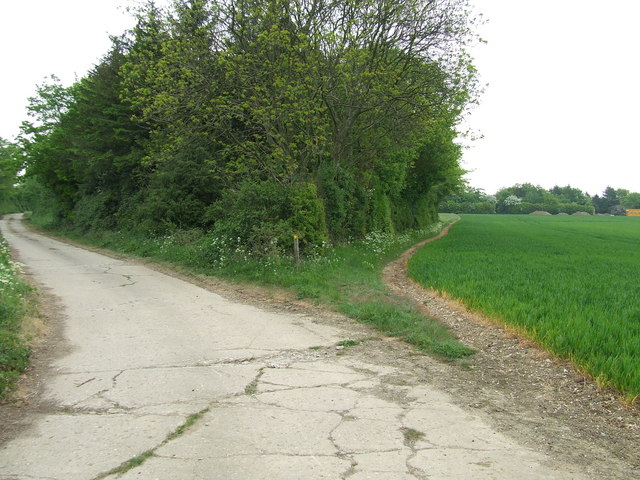
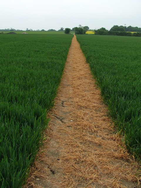
Alpheton Images

Images are sourced within 2km of 52.127216/0.750569 or Grid Reference TL8851. Thanks to Geograph Open Source API. All images are credited.

A134 looking north A route from Colchester to King's Lynn, next major place, Bury St Edmunds. A 30 limit applies here for Alpheton.
A134 looking north
A route from Colchester to King's Lynn, next major place, Bury St Edmunds. A 30 limit applies here for Alpheton.
A134 looking north A route from Colchester to King's Lynn, next major place, Bury St Edmunds.
A134 looking north
A route from Colchester to King's Lynn, next major place, Bury St Edmunds.
A134 looking north A route from Colchester to King's Lynn, next major place, Bury St Edmunds.
A134 looking north
A route from Colchester to King's Lynn, next major place, Bury St Edmunds.
Old Road Part of the old A.134 at Alpheton, Suffolk.
Old Road
Part of the old A.134 at Alpheton, Suffolk.
The Old And The New The modern A.134 on the left and the route the old took on the right at Alpheton, Suffolk.
The Old And The New
The modern A.134 on the left and the route the old took on the right at Alpheton, Suffolk.
Old Bury Road Old Bury road at Alpheton, Suffolk.
Old Bury Road
Old Bury road at Alpheton, Suffolk.
Clapstile Farm Entering Clapstile Farm near to Alpheton, Suffolk.
Clapstile Farm
Entering Clapstile Farm near to Alpheton, Suffolk.
Footpath Sign Footpath sign near to Alpheton, Suffolk.
Footpath Sign
Footpath sign near to Alpheton, Suffolk.
Footpath Footpath near to Alpheton, Suffolk, this is part of the long distance path St.Edmunds Way.
Footpath
Footpath near to Alpheton, Suffolk, this is part of the long distance path St.Edmunds Way.
St. Edmunds Way Part of the long distance footpath St. Edmunds Way near to Alpheton, Suffolk.
St. Edmunds Way
Part of the long distance footpath St. Edmunds Way near to Alpheton, Suffolk.
Footpath Footpath to the right near to Alpheton, Suffolk.
Footpath
Footpath to the right near to Alpheton, Suffolk.
Brown And Green Footpath near to Alpheton, Suffolk.
Brown And Green
Footpath near to Alpheton, Suffolk.
Tye Farm Tye Farm at Alpheton, Suffolk.
Tye Farm
Tye Farm at Alpheton, Suffolk.
Bus Shelter Bus shelter, post box village sign at Alpheton, Suffolk
Bus Shelter
Bus shelter, post box village sign at Alpheton, Suffolk
Old Bury Road Looking South along the Old Bury Road that was part of the A.134 until bypassed due to the construction of an airfield during WWII near to Alpheton, Suffolk.
Old Bury Road
Looking South along the Old Bury Road that was part of the A.134 until bypassed due to the construction of an airfield during WWII near to Alpheton, Suffolk.
Footbridges Footbridges near to Shimpling Street, Suffolk.
Footbridges
Footbridges near to Shimpling Street, Suffolk.
Footbridge And Footpath Sign Footbridge and footpath sign near to Shimpling Street, Suffolk.
Footbridge And Footpath Sign
Footbridge and footpath sign near to Shimpling Street, Suffolk.
Entrance Entrance to Thorne Court near to Shimpling Street, Suffolk.
Entrance
Entrance to Thorne Court near to Shimpling Street, Suffolk.
Show me another place!

Alpheton is located at Grid Ref: TL8851 (Lat: 52.127216, Lng: 0.750569)

Administrative County: Suffolk

District: Babergh

Police Authority: Suffolk

What 3 Words

///supper.farms.blunders. Near Lavenham, Suffolk

Nearby Locations

Alpheton Hunt's Moat

Related Wikis

Alpheton

Alpheton is a village and civil parish in the Babergh district of Suffolk, England. Located on the A134 road about six miles north of Sudbury, in 2005...
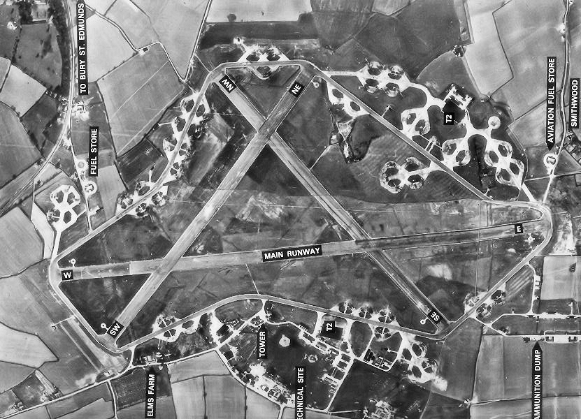
RAF Lavenham

RAF Lavenham (also known as Cockfield) is a former World War II airfield in England. The field is located 7 miles (11 km) N of Sudbury in Suffolk, near...

Hibb's Green

Hibb's Green is a hamlet in the civil parish of Lawshall in the Babergh district in the county of Suffolk, England. It is located between Hanningfield...

Shimpling

Shimpling is a village and civil parish in south Suffolk, England. About 7 miles (11 km) from Bury St Edmunds, it is part of Babergh district. The village...

Lawshall Green

Lawshall Green is a hamlet in the civil parish of Lawshall in the Babergh district in the county of Suffolk, England. It is located east of Hibb's Green...

The Railway Walks

The Railway Walks is a 25.3 hectare Local Nature Reserve which runs along parts of a former railway line between Sudbury and Lavenham in Suffolk. It is...

Kentwell Woods

Kentwell Woods is a 77.6-hectare (192-acre) biological Site of Special Scientific Interest in fifteen woods in fourteen separate blocks east and north...

Hanningfield Green

Hanningfield Green, sometimes referred to as Hanningfields Green, is a hamlet in the civil parish of Lawshall in the Babergh district in the county of...

Nearby Amenities

Located within 500m of 52.127216,0.750569
Bus Stop
Old Bury Road
Naptan AtcoCode: 390010198
Naptan Bearing: SW
Naptan CommonName: Old Bury Road
Naptan Indicator: adj
Naptan Landmark: Old Bury Road
Naptan NaptanCode: sufadpag
Naptan Street: A134
Source: naptan_import;survey
Lat/Long: 52.127358/0.7502535
Bus Stop
Old Bury Road
Naptan AtcoCode: 390010199
Naptan Bearing: N
Naptan CommonName: Old Bury Road
Naptan Indicator: opp
Naptan Landmark: Old Bury Road
Naptan NaptanCode: sufadpaj
Naptan Street: A134
Source: naptan_import;survey
Lat/Long: 52.1274872/0.7501795
Bus Stop
The Green
Naptan AtcoCode: 390010200
Naptan Bearing: N
Naptan CommonName: The Green
Naptan Indicator: o/s
Naptan Landmark: The Green
Naptan NaptanCode: sufadpam
Naptan Street: A134
Naptan Verified: no
Source: naptan_import
Lat/Long: 52.1235469/0.7474875
Alpheton
Place: village
Source: NLS - OS 1:25k 1st Series 1937-61
Wikidata: Q1895437
Lat/Long: 52.1234241/0.7472163
Post Box
Collection Times: Mo-Fr 09:00; Sa 07:00
Post Box Design: 2010_pattern
Post Box Mounting: pier
Post Box Type: lamp
Ref: CO10 1040D
Royal Cypher: EIIR
Royal Cypher Wikidata: Q33102113
Lat/Long: 52.1235072/0.74748
Fixme: Where does path go from here?
Lat/Long: 52.1254068/0.7464212
Defibrillator
Access: yes
Defibrillator Location: On exterior wall of Alpheton Jubilee Hall, facing Old Bury Road.
Emergency: defibrillator
Indoor: no
Ref GB The Circuit: 0832B8C4-DA1E-453D-8BCC-AD8701287E36
Lat/Long: 52.1288638/0.7526005
Entrance: yes
Lat/Long: 52.128873/0.7526137
Give Way
Lat/Long: 52.1275252/0.7503493
Leisure: picnic_table
Lat/Long: 52.123569/0.7474358
Defibrillator
Access: yes
Defibrillator Location: On exterior wall of bus shelter at Tye Green, Alpheton.
Emergency: defibrillator
Indoor: no
Ref GB The Circuit: 4ACAE896-F0EF-4852-A196-AD350114B28A
Lat/Long: 52.1235476/0.7474616
Waste Basket
Lat/Long: 52.1235447/0.7474738
Alpheton
Traffic Sign: city_limit
Lat/Long: 52.1234718/0.7474874
Alpheton
Information: board
Tourism: information
Lat/Long: 52.1284521/0.7526314
Public Bookcase
Booth: K6
Disused Amenity: telephone
Man Made: telephone_box
Public Bookcase Type: phone_box
Lat/Long: 52.1290623/0.7546261
Recycling
Recycling Cardboard: yes
Recycling Glass Bottles: yes
Recycling Paper: yes
Recycling Type: container
Lat/Long: 52.1287684/0.7527834
Information: board
Tourism: information
Lat/Long: 52.12874/0.7528089
Post Box
Collection Times: Mo-Fr 09:00; Sa 07:00
Post Box Mounting: concrete_pier
Post Box Type: lamp
Ref: CO10 1066D
Royal Cypher: EIIR
Royal Cypher Wikidata: Q33102113
Lat/Long: 52.1284568/0.7526024
Crossing
Crossing: uncontrolled
Lat/Long: 52.1258039/0.7487666
The data included in this document is from www.openstreetmap.org. The data is made available under ODbL.

Have you been to Alpheton?

Leave your review of Alpheton below (or comments, questions and feedback).