Hunt's Moat
Heritage Site in Suffolk Babergh
England
Hunt's Moat
Hunt's Moat is a historic heritage site located in Suffolk, England. Situated near the village of Sudbury, this moated site is a significant remnant of medieval architecture in the region. The moat surrounds the remains of a fortified manor house, dating back to the 14th century, which was once home to the wealthy Hunt family.
The moat itself is an impressive feature of the site, measuring approximately 40 meters by 60 meters and still holding water. It is believed to have served as a defensive feature, protecting the manor house and its occupants from potential attacks. The surrounding earthworks and banks further enhance the defensive nature of the site.
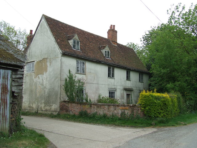
The remains of the manor house consist of a stone tower, which was likely the main residential building, along with various smaller structures. The tower, although partially ruined, still retains its original architectural features, providing insight into the medieval construction techniques of the time. The site also includes a small chapel, which would have served as a place of worship for the Hunt family and their household.
Hunt's Moat is a popular destination for history enthusiasts, archaeologists, and visitors interested in medieval architecture. The site offers a glimpse into the past, allowing visitors to visualize the grandeur and defensive strategies employed during this era. Its location amidst the picturesque Suffolk countryside adds to its charm, making it a must-visit for those exploring the region's rich historical heritage.
If you have any feedback on the listing, please let us know in the comments section below.
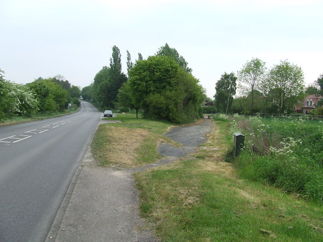
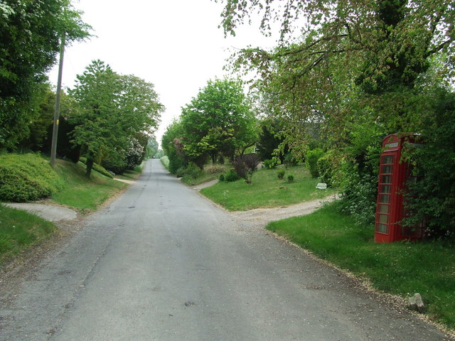
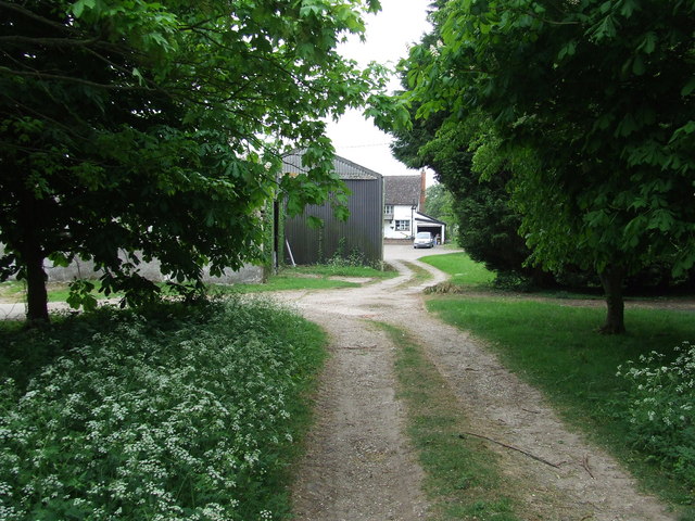
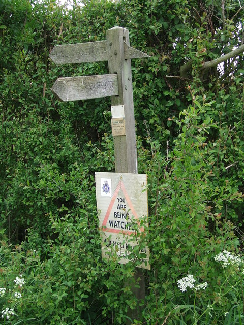
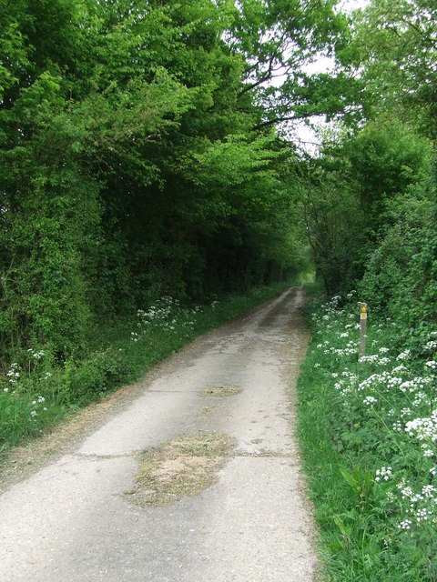
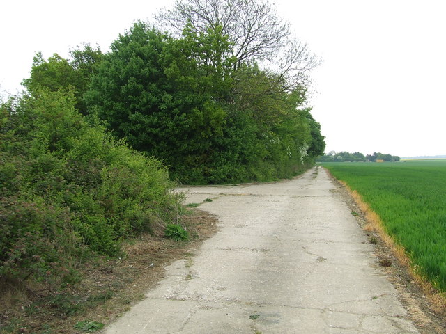
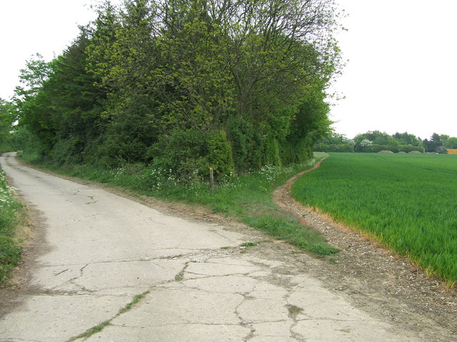
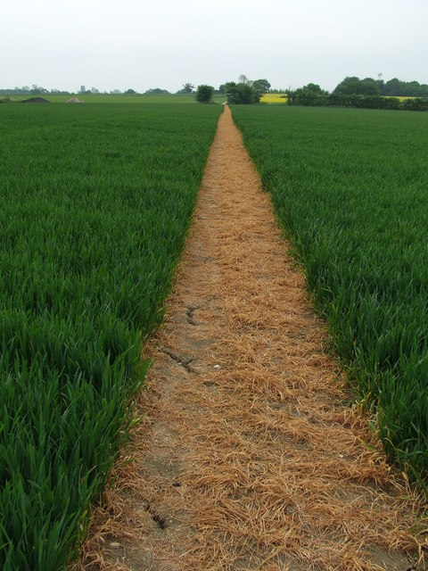
Hunt's Moat Images
Images are sourced within 2km of 52.13/0.753 or Grid Reference TL8851. Thanks to Geograph Open Source API. All images are credited.


Hunt's Moat is located at Grid Ref: TL8851 (Lat: 52.13, Lng: 0.753)
Administrative County: Suffolk
District: Babergh
Police Authority: Suffolk
What 3 Words
///broadens.dignify.doses. Near Lavenham, Suffolk
Nearby Locations
Related Wikis
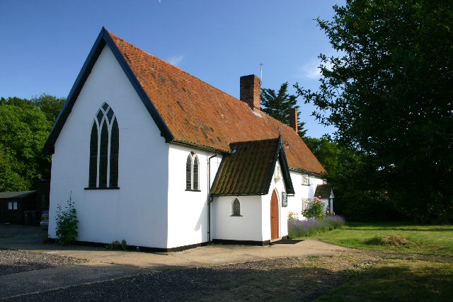
Alpheton
Alpheton is a village and civil parish in the Babergh district of Suffolk, England. Located on the A134 road about six miles north of Sudbury, in 2005...
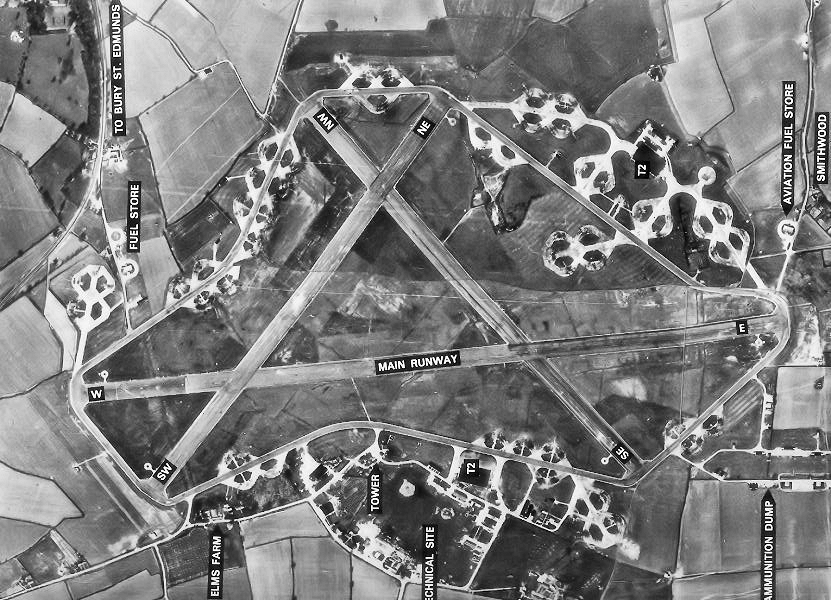
RAF Lavenham
RAF Lavenham (also known as Cockfield) is a former World War II airfield in England. The field is located 7 miles (11 km) N of Sudbury in Suffolk, near...

Hibb's Green
Hibb's Green is a hamlet in the civil parish of Lawshall in the Babergh district in the county of Suffolk, England. It is located between Hanningfield...
Lawshall Green
Lawshall Green is a hamlet in the civil parish of Lawshall in the Babergh district in the county of Suffolk, England. It is located east of Hibb's Green...

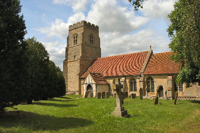
Shimpling
Shimpling is a village and civil parish in south Suffolk, England. About 7 miles (11 km) from Bury St Edmunds, it is part of Babergh district. The village...

Hanningfield Green
Hanningfield Green, sometimes referred to as Hanningfields Green, is a hamlet in the civil parish of Lawshall in the Babergh district in the county of...
Bury Road, Lawshall
Bury Road, Lawshall is a linear settlement in the civil parish of Lawshall in the Babergh district in the county of Suffolk, England. The northern part...

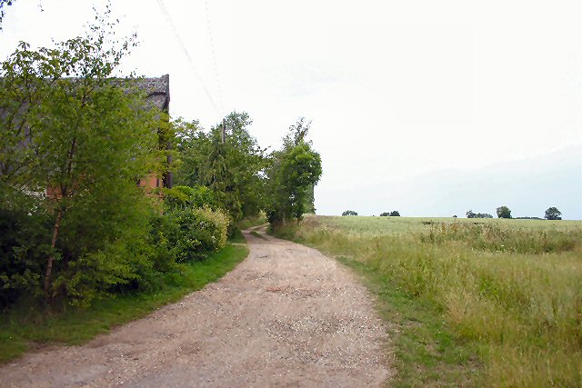
The Railway Walks
The Railway Walks is a 25.3 hectare Local Nature Reserve which runs along parts of a former railway line between Sudbury and Lavenham in Suffolk. It is...
Nearby Amenities
Located within 500m of 52.13,0.753Have you been to Hunt's Moat?
Leave your review of Hunt's Moat below (or comments, questions and feedback).