Blood Moss
Wood, Forest in Wigtownshire
Scotland
Blood Moss

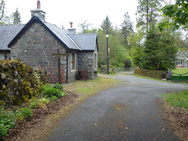
Blood Moss, located in Wigtownshire, is a captivating woodland area renowned for its unique ecosystem and hauntingly beautiful scenery. This enchanting forest spans over a vast expanse of approximately 100 acres, making it a haven for nature enthusiasts and explorers alike.
The name "Blood Moss" originates from the presence of a striking crimson-colored moss that covers the forest floor, giving it an otherworldly and ethereal appearance. This rare species of moss is found abundantly in this particular woodland due to the ideal combination of moisture, shade, and nutrient-rich soil.
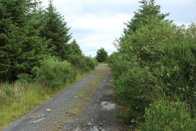
The forest itself is a diverse mix of mature trees, including ancient oaks, towering pines, and delicate silver birch. These majestic trees create a dense canopy, allowing only dappled sunlight to penetrate through, adding to the mystical ambiance of the surroundings. The forest floor is adorned with a rich carpet of ferns, wildflowers, and various species of fungi.
Blood Moss is not only a visual spectacle but also a haven for wildlife. The forest supports a wide range of animal species, including deer, foxes, badgers, and an array of birdlife. The tranquil atmosphere and abundance of resources make it an ideal habitat for these creatures.
Visitors to Blood Moss can enjoy a network of well-maintained footpaths, allowing them to explore the forest's hidden treasures while respecting the delicate ecosystem. The forest offers a peaceful retreat, with the sound of birdsong and the rustling of leaves providing a soothing soundtrack to one's journey.
In conclusion, Blood Moss in Wigtownshire is a captivating woodland oasis, offering a unique and magical experience for those who venture into its depths. Its vibrant crimson moss, diverse flora and fauna, and serene atmosphere make it a must-visit destination for nature lovers and those seeking a connection with the natural world.
If you have any feedback on the listing, please let us know in the comments section below.
Blood Moss Images
Images are sourced within 2km of 55.019109/-4.7035965 or Grid Reference NX2772. Thanks to Geograph Open Source API. All images are credited.


Blood Moss is located at Grid Ref: NX2772 (Lat: 55.019109, Lng: -4.7035965)
Unitary Authority: Dumfries and Galloway
Police Authority: Dumfries and Galloway
What 3 Words
///cure.interests.massaged. Near Newton Stewart, Dumfries & Galloway
Nearby Locations
Related Wikis

Loch Dornal
Loch Dornal is an irregular shaped, shallow, freshwater loch in south Ayrshire, in the Southern Uplands of Scotland. It lies approximately eight miles...

Kilgallioch
Kilgallioch Wind Farm is a 96 turbine wind farm in South Ayrshire, Scotland with a total capacity of up to 239 megawatts (MW). Consent granted by the Scottish...

Tarf Water, Wigtownshire
The Tarf Water is a river in the former county of Wigtownshire in south-west Scotland. It rises on the Ayrshire border (55.0048°N 4.7815°W / 55.0048;...

Cairnderry chambered cairn
Cairnderry chambered cairn is a chambered cairn in Dumfries and Galloway. It is a Bargrennan cairn, a type of Neolithic or early Bronze Age monument only...
Have you been to Blood Moss?
Leave your review of Blood Moss below (or comments, questions and feedback).