Blair Hill
Hill, Mountain in Wigtownshire
Scotland
Blair Hill

Blair Hill, located in Wigtownshire, Scotland, is a prominent geographical feature known for its picturesque landscapes and natural beauty. Standing at an elevation of approximately 222 meters (728 feet), Blair Hill is classified as a hill or a small mountain, offering breathtaking panoramic views of the surrounding countryside.
Situated in the southern part of Wigtownshire, Blair Hill is easily accessible and attracts a significant number of outdoor enthusiasts, hikers, and nature lovers. The hill is characterized by its gentle slopes, covered with lush green vegetation, and is home to a diverse range of flora and fauna.
The summit of Blair Hill offers a stunning vantage point, granting visitors expansive views of the rolling hills, farmlands, and coastal areas that Wigtownshire is renowned for. On a clear day, one can even catch a glimpse of the Irish Sea and the distant mountains of Ireland.
Blair Hill is a popular destination for those seeking outdoor activities and adventures. It boasts several well-marked hiking trails, catering to all levels of fitness and expertise. The hill is also a favored spot for birdwatchers, as it attracts a variety of bird species, including buzzards, kestrels, and pheasants.
In addition to its natural beauty, Blair Hill holds historical significance as it was once a fortified site during the Iron Age. Archaeological remains have been discovered in the vicinity, adding to the hill's cultural value.
Overall, Blair Hill in Wigtownshire offers a delightful blend of natural splendor, recreational opportunities, and historical significance, making it a must-visit destination for those exploring the diverse landscapes of Scotland.
If you have any feedback on the listing, please let us know in the comments section below.
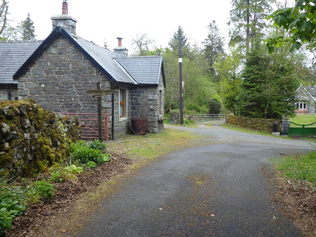
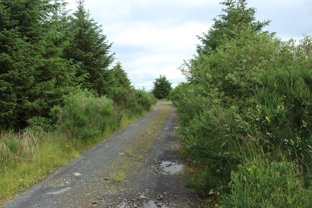
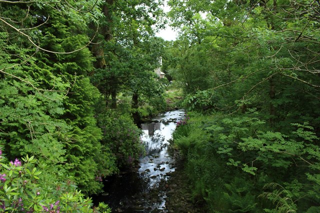
Blair Hill Images
Images are sourced within 2km of 55.016889/-4.6999269 or Grid Reference NX2772. Thanks to Geograph Open Source API. All images are credited.


Blair Hill is located at Grid Ref: NX2772 (Lat: 55.016889, Lng: -4.6999269)
Unitary Authority: Dumfries and Galloway
Police Authority: Dumfries and Galloway
What 3 Words
///stack.soulful.symphonic. Near Newton Stewart, Dumfries & Galloway
Nearby Locations
Related Wikis

Loch Dornal
Loch Dornal is an irregular shaped, shallow, freshwater loch in south Ayrshire, in the Southern Uplands of Scotland. It lies approximately eight miles...

Kilgallioch
Kilgallioch Wind Farm is a 96 turbine wind farm in South Ayrshire, Scotland with a total capacity of up to 239 megawatts (MW). Consent granted by the Scottish...

Tarf Water, Wigtownshire
The Tarf Water is a river in the former county of Wigtownshire in south-west Scotland. It rises on the Ayrshire border (55.0048°N 4.7815°W / 55.0048;...

Bargrennan
Bargrennan (Scottish Gaelic: Bar Grianain, meaning height of the summer house or sunny spot) is a village in Dumfries and Galloway, in the south west of...
Have you been to Blair Hill?
Leave your review of Blair Hill below (or comments, questions and feedback).