Campsfield
Settlement in Oxfordshire Cherwell
England
Campsfield

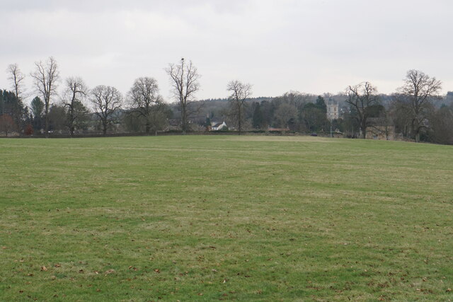
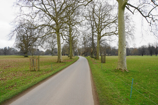
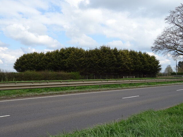
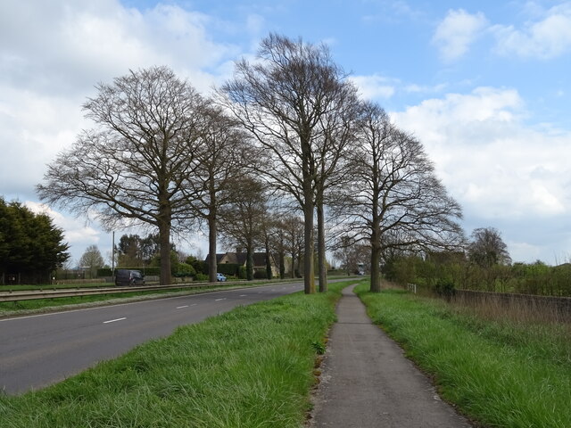
Campsfield is a small village located in Oxfordshire, England. Situated approximately 8 miles north of the city of Oxford, it falls within the Cherwell district. The village is nestled amidst beautiful countryside, offering picturesque views and a tranquil atmosphere.
Campsfield is perhaps best known for the Campsfield House Immigration Removal Centre, which is located on the outskirts of the village. Established in 1993, the centre serves as a detention facility for individuals awaiting immigration decisions or facing deportation. It has been a subject of both criticism and debate due to its controversial nature.
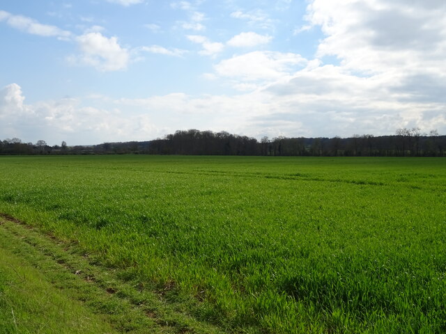
Despite the presence of the immigration centre, Campsfield itself remains a quiet and peaceful place. The village is primarily residential, with a small community of residents. The surrounding area is predominantly agricultural, with lush green fields and charming country lanes.
The village is well-connected to nearby towns and cities, with regular bus services to Oxford and Bicester. The nearby Oxford Parkway railway station provides convenient access to London and other major cities.
Campsfield offers limited amenities within the village, including a local pub and a few small businesses. However, residents can easily access a wider range of services and facilities in nearby towns such as Kidlington and Oxford.
Overall, Campsfield is a small village in Oxfordshire, known for its scenic countryside and the presence of the Campsfield House Immigration Removal Centre. It provides a peaceful and rural setting, while also benefiting from its proximity to larger towns and cities in the region.
If you have any feedback on the listing, please let us know in the comments section below.
Campsfield Images
Images are sourced within 2km of 51.832367/-1.327757 or Grid Reference SP4615. Thanks to Geograph Open Source API. All images are credited.


Campsfield is located at Grid Ref: SP4615 (Lat: 51.832367, Lng: -1.327757)
Administrative County: Oxfordshire
District: Cherwell
Police Authority: Thames Valley
What 3 Words
///poetry.withdrew.baths. Near Woodstock, Oxfordshire
Nearby Locations
Related Wikis
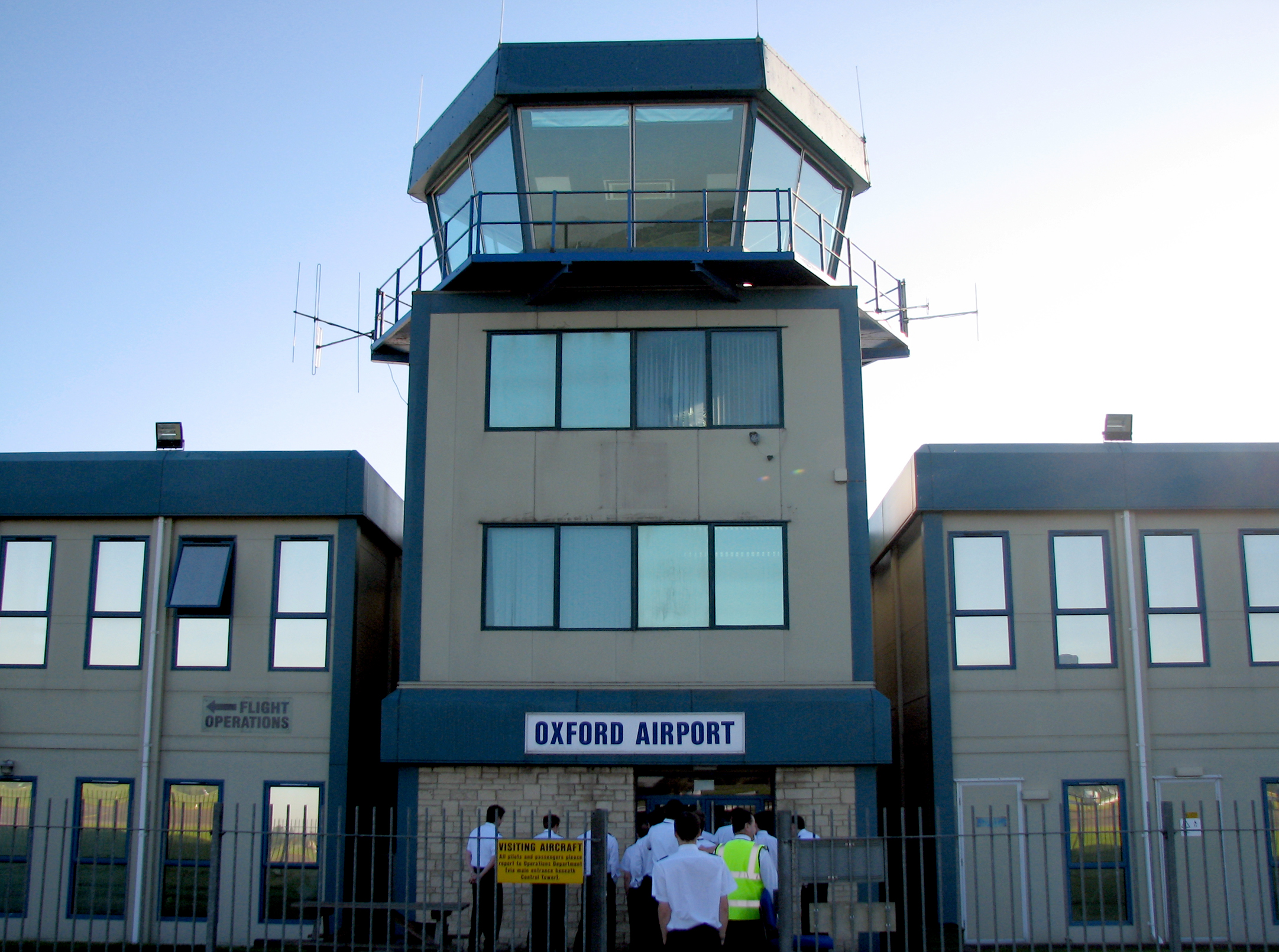
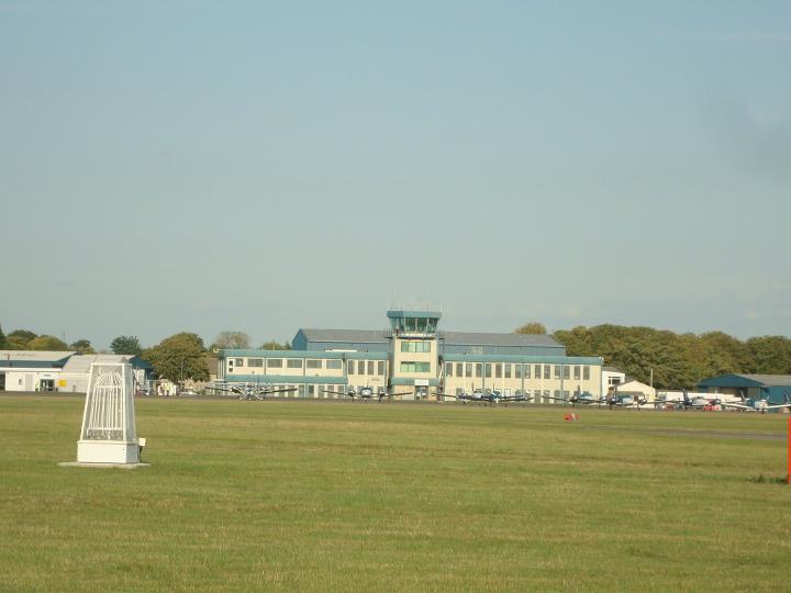
Oxford Airport
London Oxford Airport (IATA: OXF, ICAO: EGTK), formerly known as Kidlington Airport, is a privately owned airport located near Kidlington in Cherwell District...
CAE Oxford
CAE Oxford, part of CAE Inc., is an ab initio flight training network. It provides integrated aviation training and resourcing services. Professional airline...

Begbroke
Begbroke ( BEG-bruuk) is a village and civil parish in Oxfordshire about one mile (1.6 km) west of Kidlington and five miles (8 km) northwest of Oxford...
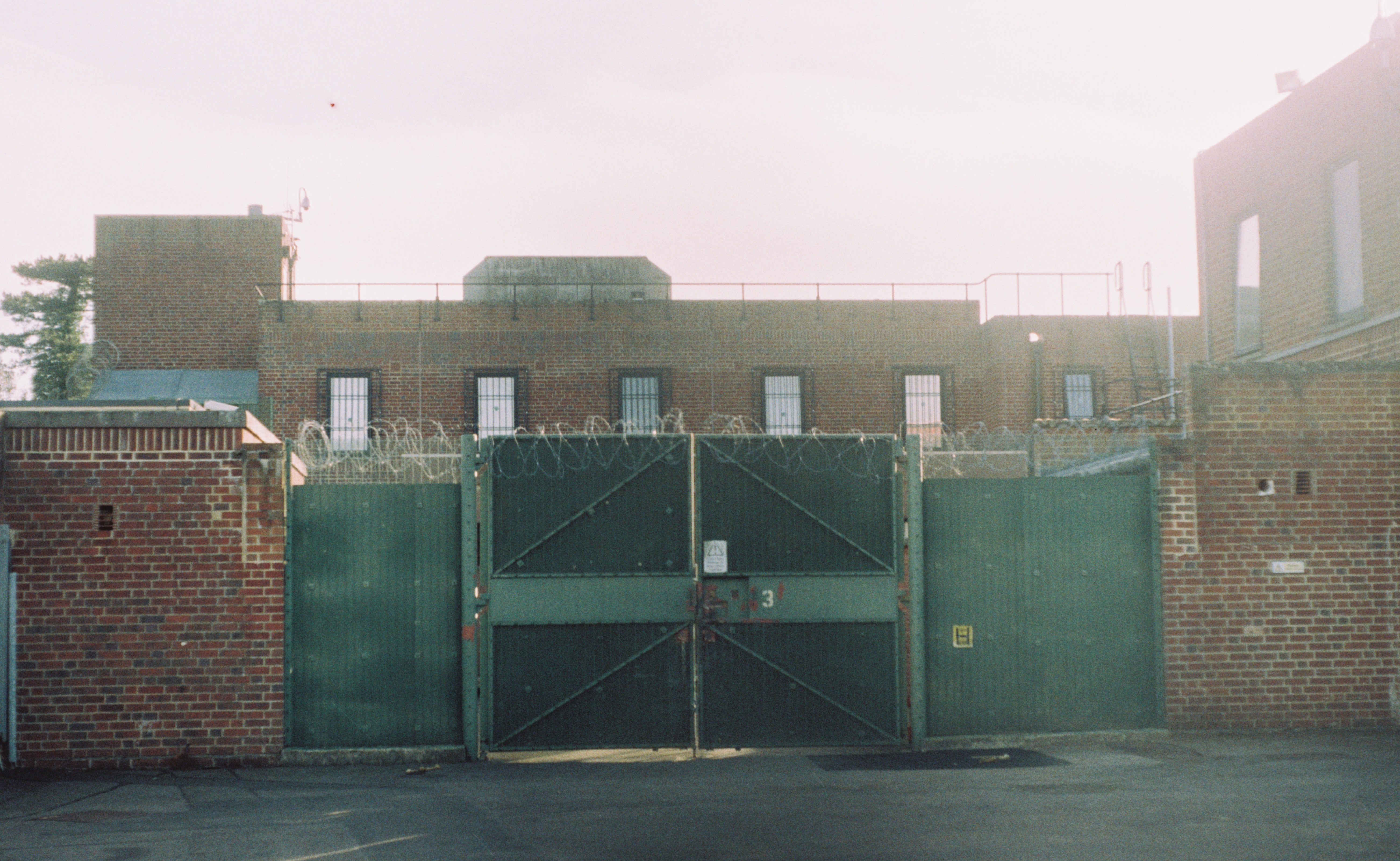
Campsfield House
Campsfield House was an immigration detention centre located in Kidlington near Oxford, England, operated by private prison firm Group 4 under contract...

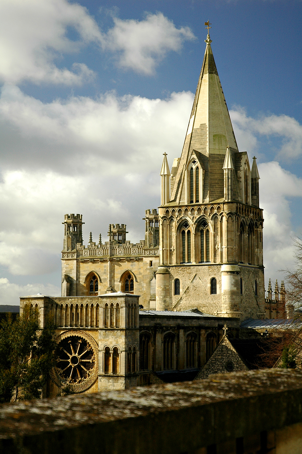
St Martin's Church, Bladon
St Martin's Church in Bladon near Woodstock, Oxfordshire, England, is the Church of England parish church of Bladon-with-Woodstock. It is also the mother...
Diocese of Oxford
The Diocese of Oxford is a Church of England diocese that forms part of the Province of Canterbury. The diocese is led by the Bishop of Oxford (currently...
Bladon
Bladon is a village and civil parish on the River Glyme about 6+1⁄2 miles (10.5 km) northwest of Oxford, Oxfordshire, England. It is where Sir Winston...
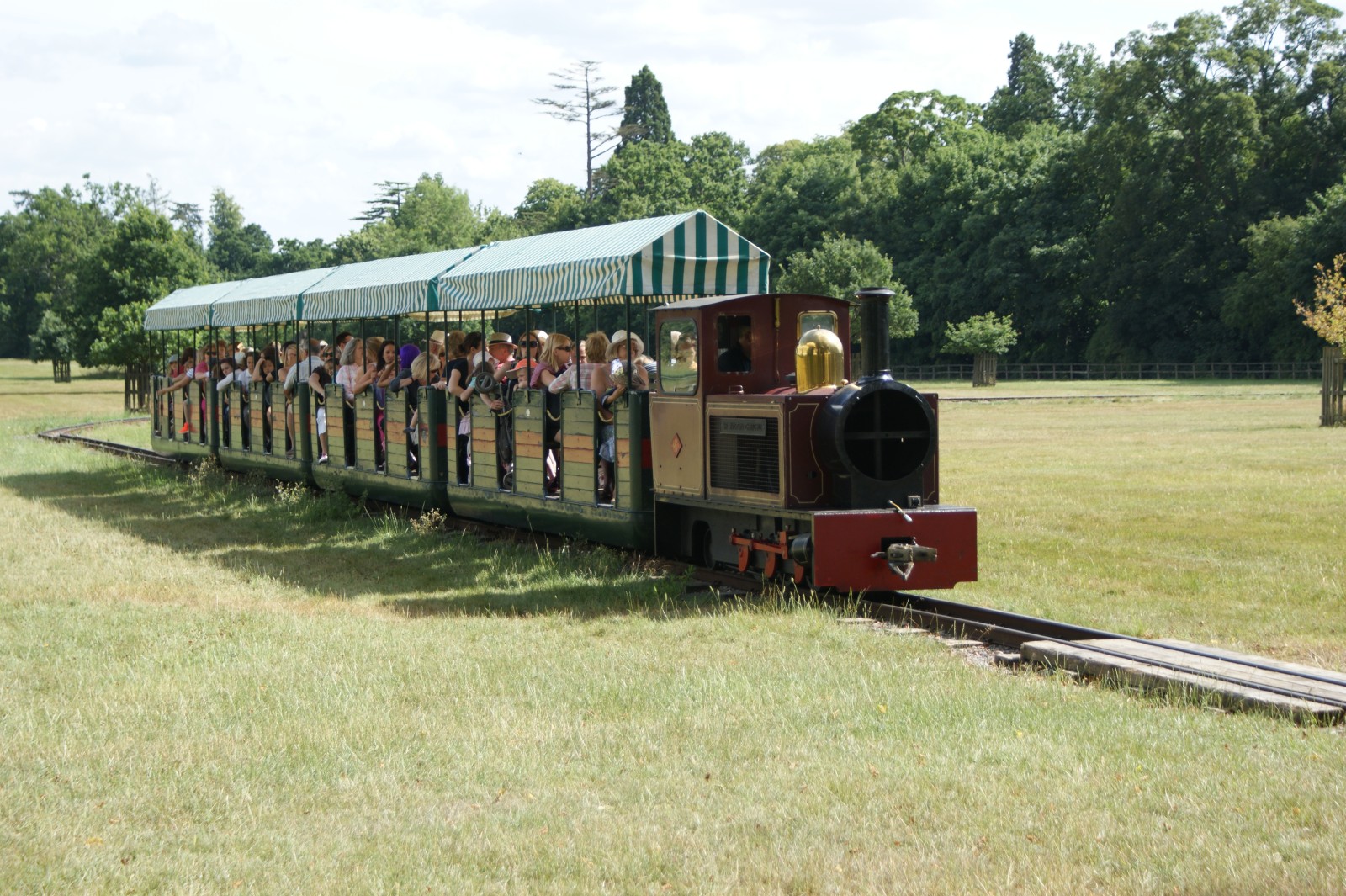
Blenheim Park Railway
Blenheim Park Railway is a 15 in (381 mm) gauge miniature railway operating in the grounds of Blenheim Palace, in Oxfordshire, England. == History == A...
Nearby Amenities
Located within 500m of 51.832367,-1.327757Have you been to Campsfield?
Leave your review of Campsfield below (or comments, questions and feedback).