Tor Wood
Wood, Forest in Wigtownshire
Scotland
Tor Wood
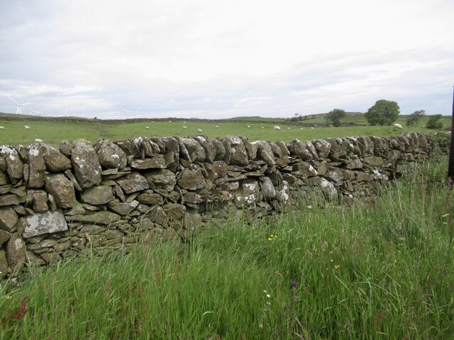
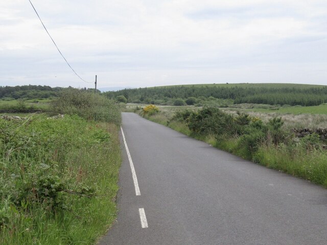
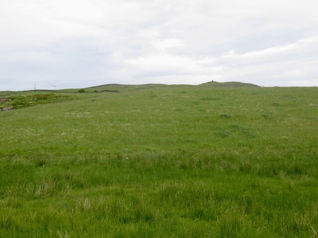
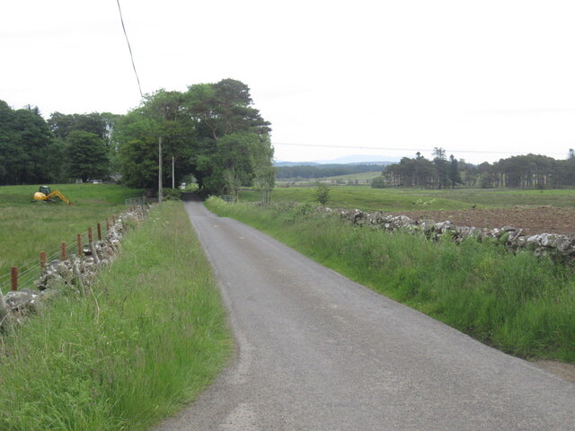
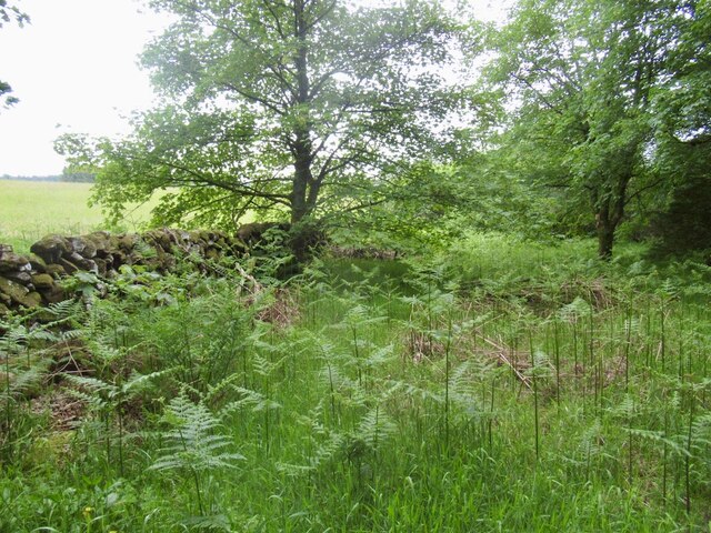
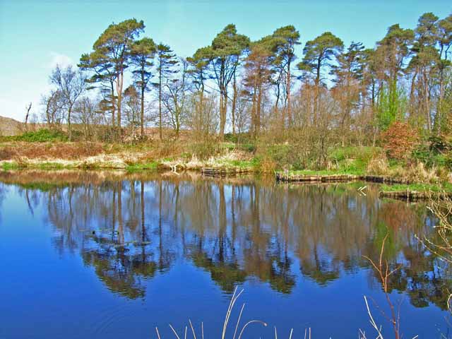
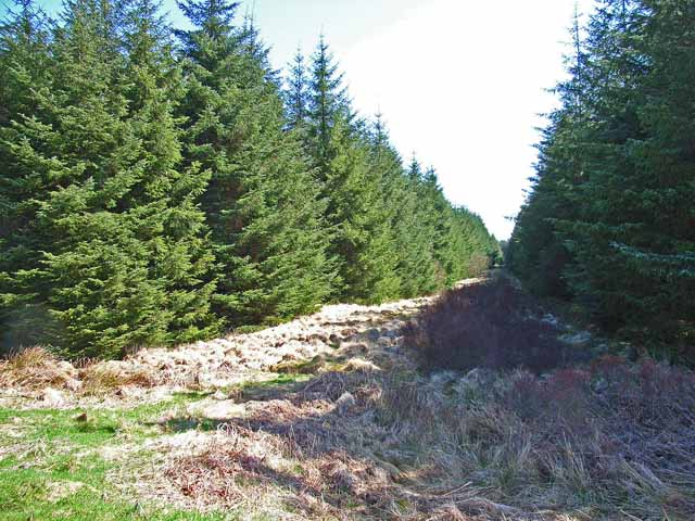
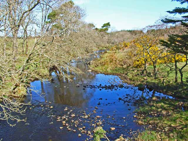
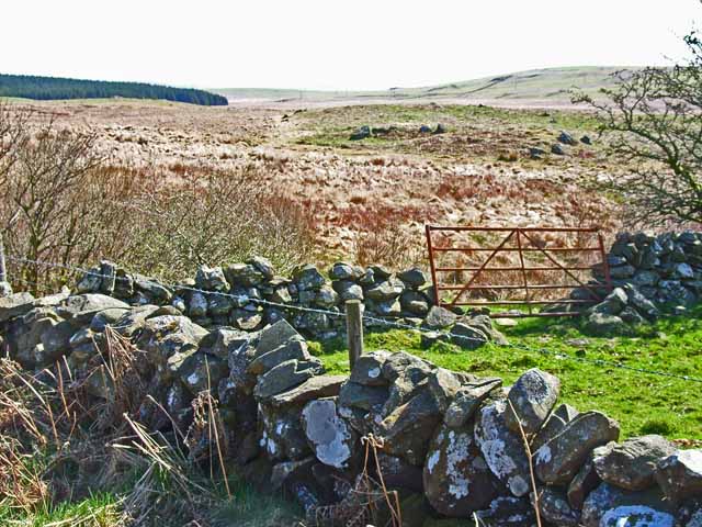
Tor Wood is a picturesque forest located in Wigtownshire, Scotland. Covering an area of approximately 100 acres, it is characterized by its dense woodland and diverse wildlife. The wood is situated near the charming village of Torhouse, making it easily accessible for locals and visitors alike.
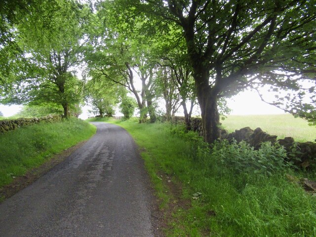
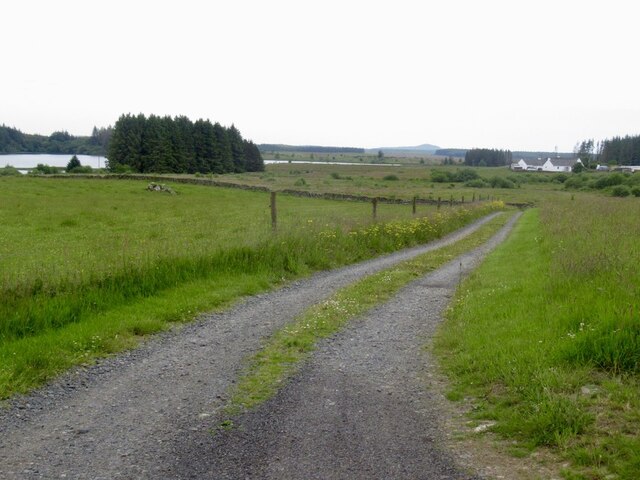
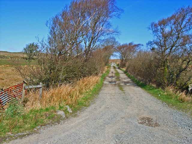
The forest is mainly composed of broadleaf trees, including oak, birch, and beech, which create a stunning canopy that provides shade and shelter for various species of flora and fauna. As one explores the wood, they will come across a network of well-maintained footpaths and trails that allow for peaceful walks and hikes.
Nature enthusiasts will appreciate the abundant wildlife that calls Tor Wood home. The forest is a haven for birds, including woodpeckers, owls, and various songbirds. Red squirrels can be glimpsed darting among the branches, while the occasional deer can be spotted grazing in the open meadows.
Tor Wood also holds historical significance, as it is home to several ancient sites. The most notable is the Torhouse Stone Circle, a well-preserved Bronze Age monument consisting of three standing stones and a central stone circle. This archaeological site attracts archaeology enthusiasts and history buffs from far and wide.
Visiting Tor Wood offers a chance to immerse oneself in the tranquility of nature while exploring its rich history. Whether it's walking amidst the towering trees, observing the wildlife, or discovering ancient stone circles, Tor Wood provides a captivating experience for all who venture within its boundaries.
If you have any feedback on the listing, please let us know in the comments section below.
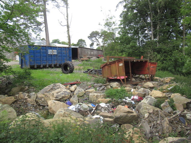
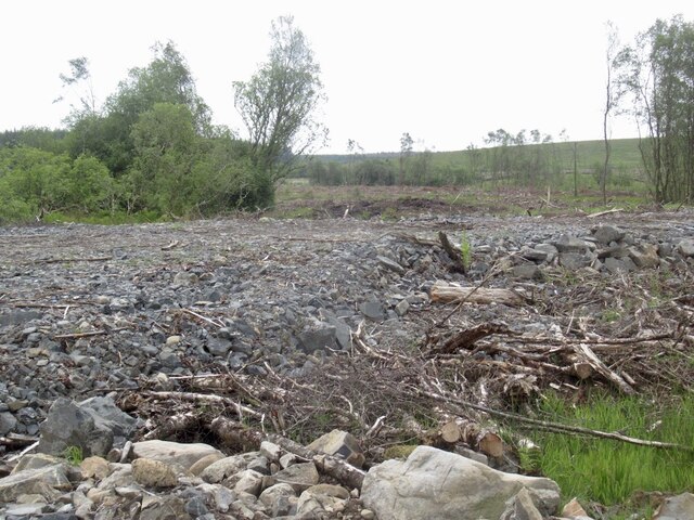
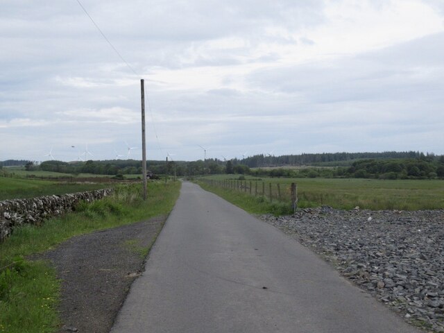
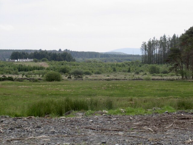
Tor Wood Images
Images are sourced within 2km of 54.940839/-4.7375949 or Grid Reference NX2464. Thanks to Geograph Open Source API. All images are credited.
Tor Wood is located at Grid Ref: NX2464 (Lat: 54.940839, Lng: -4.7375949)
Unitary Authority: Dumfries and Galloway
Police Authority: Dumfries and Galloway
What 3 Words
///winters.oiled.reset. Near Newton Stewart, Dumfries & Galloway
Related Wikis

Tarf Water, Wigtownshire
The Tarf Water is a river in the former county of Wigtownshire in south-west Scotland. It rises on the Ayrshire border (55.0048°N 4.7815°W / 55.0048;...

Barhapple Loch
Barhapple Loch is a small semicircular freshwater loch located in Wigtownshire, Dumfries and Galloway in Scotland. Barhapple Loch is principally known...

Mid Gleniron
Mid Gleniron is a prehistoric site in Dumfries and Galloway used in the Neolithic and Bronze Age. The site is a scheduled ancient monument that comprises...

New Luce
New Luce (Scottish Gaelic: Baile Ùr Ghlinn Lus) is a civil parish in Dumfries and Galloway, south-west Scotland. It lies in the traditional county of Wigtownshire...

New Luce railway station
New Luce railway station served the village of New Luce, Dumfries and Galloway, Scotland from 1887 to 1965 on the Girvan and Portpatrick Junction Railway...

Kirkcowan railway station
Kirkcowan railway station served the village of Kirkcowan, Dumfries and Galloway, Scotland from 1861 to 1965 on the Portpatrick and Wigtownshire Joint...

Glenluce railway station
Glenluce station was a station open in 1862 on the former Port Road that was constructed on the Portpatrick and Wigtownshire Joint Railway. It served the...

Glenluce Abbey
Glenluce Abbey, near to Glenluce, Scotland, was a Cistercian monastery called also Abbey of Luce or Vallis Lucis and founded around 1190 by Rolland or...
Nearby Amenities
Located within 500m of 54.940839,-4.7375949Have you been to Tor Wood?
Leave your review of Tor Wood below (or comments, questions and feedback).