Camregan Plantation
Wood, Forest in Ayrshire
Scotland
Camregan Plantation
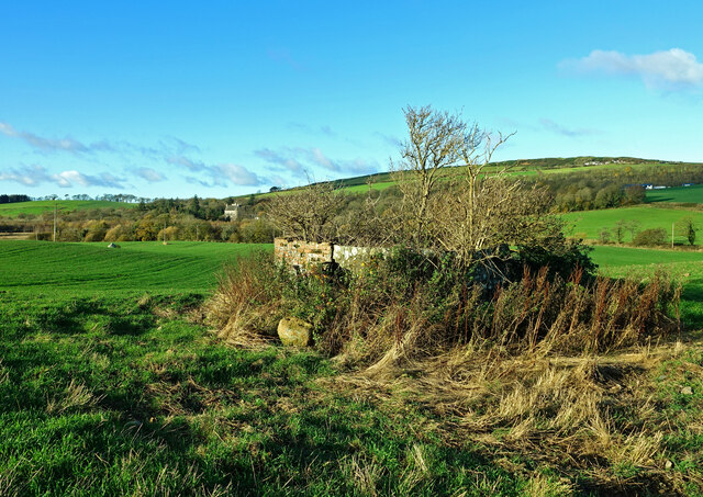
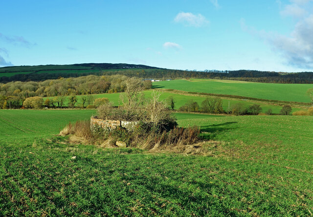
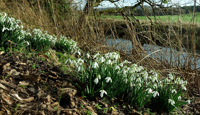
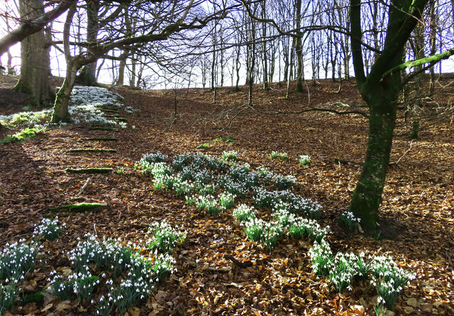
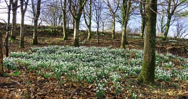
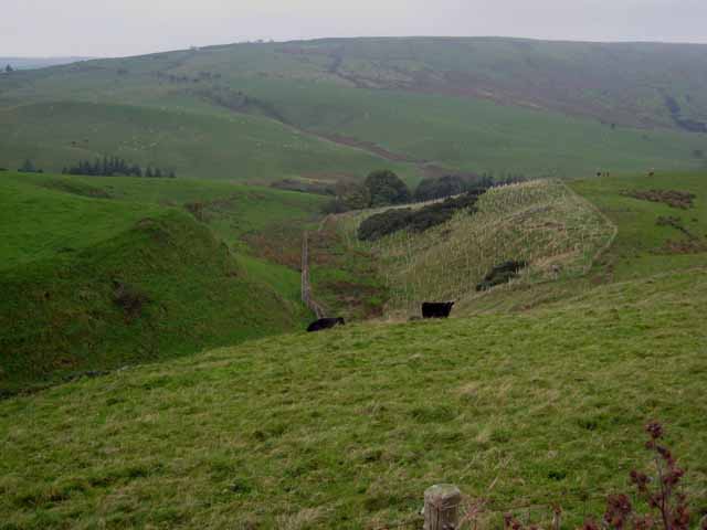
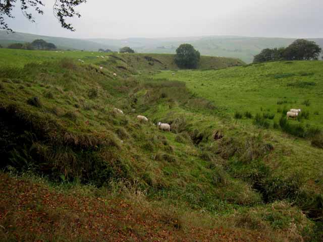
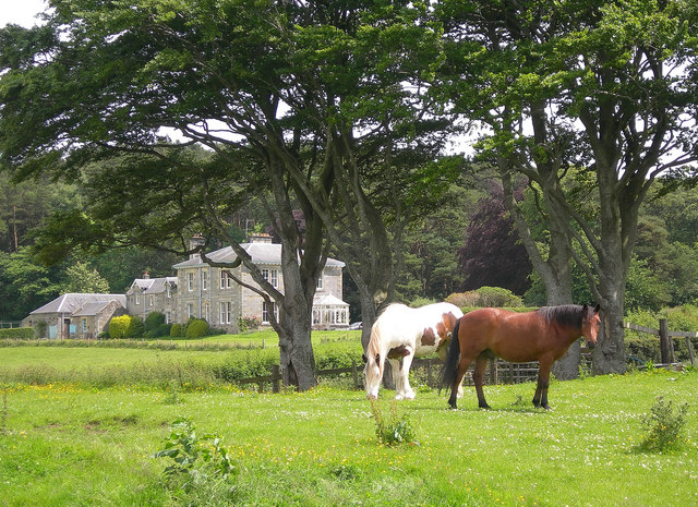
Camregan Plantation, located in Ayrshire, Scotland, is a sprawling woodland area that encompasses diverse flora and fauna. Spanning over several acres, the plantation is a prominent destination for nature enthusiasts and outdoor adventurers.
The plantation boasts an impressive variety of trees, including oak, beech, birch, and coniferous species, creating a picturesque landscape throughout the year. The dense forest provides a habitat for numerous native wildlife, such as red squirrels, deer, and a variety of bird species, making it a haven for birdwatchers and animal lovers alike.
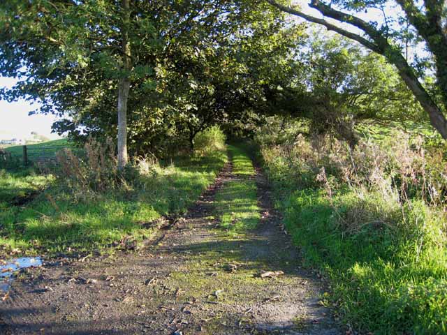
Visitors to Camregan Plantation can explore the extensive network of walking trails that wind through the woodland, offering breathtaking views and opportunities for peaceful solitude. The well-maintained paths cater to different fitness levels, ensuring accessibility for all visitors. Interpretive signage along the trails provides educational information about the plantation's ecosystem, allowing visitors to deepen their understanding of the local environment.
In addition to its natural beauty, Camregan Plantation offers recreational activities, such as picnicking and camping. The plantation provides designated areas for visitors to relax and enjoy a picnic amidst the tranquil surroundings. For those seeking a more immersive experience, camping facilities are available, allowing visitors to spend the night under the starlit sky, surrounded by the tranquility of the forest.
Overall, Camregan Plantation in Ayrshire is a captivating destination for nature lovers, offering a rich and diverse woodland experience with its scenic beauty, abundant wildlife, and recreational opportunities.
If you have any feedback on the listing, please let us know in the comments section below.
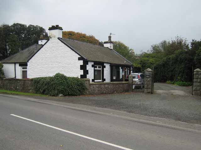
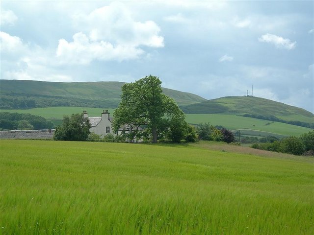
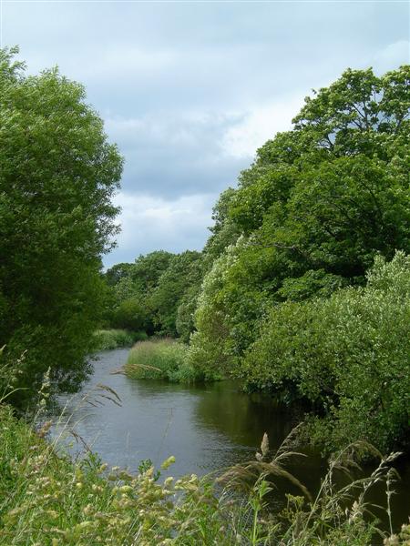
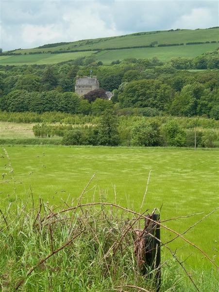
Camregan Plantation Images
Images are sourced within 2km of 55.247114/-4.7914911 or Grid Reference NX2298. Thanks to Geograph Open Source API. All images are credited.

Camregan Plantation is located at Grid Ref: NX2298 (Lat: 55.247114, Lng: -4.7914911)
Unitary Authority: South Ayrshire
Police Authority: Ayrshire
What 3 Words
///folks.custom.rinses. Near Girvan, South Ayrshire
Nearby Locations
Related Wikis
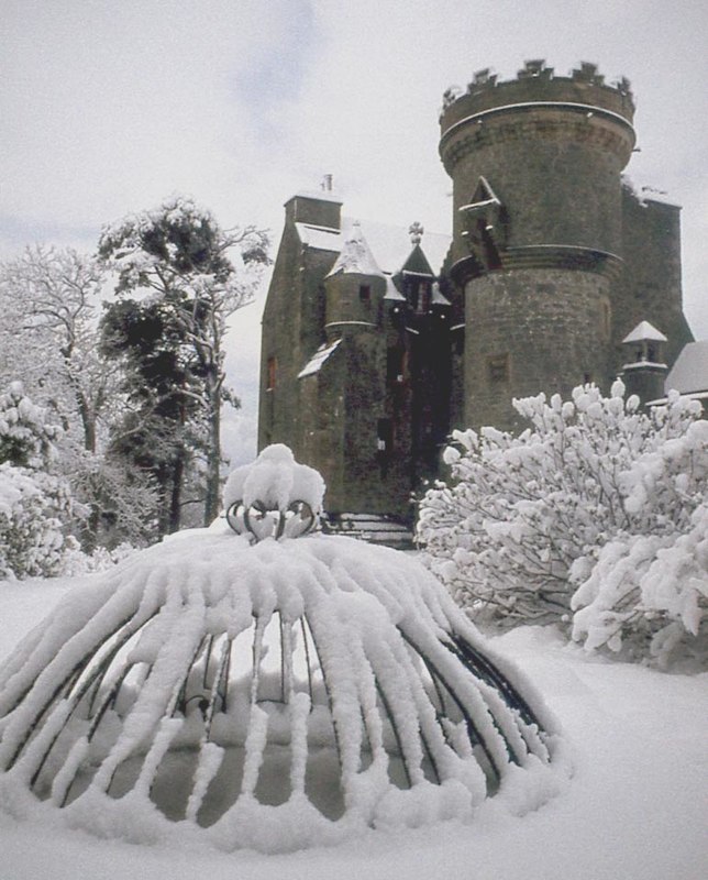
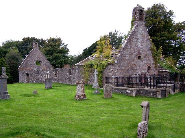
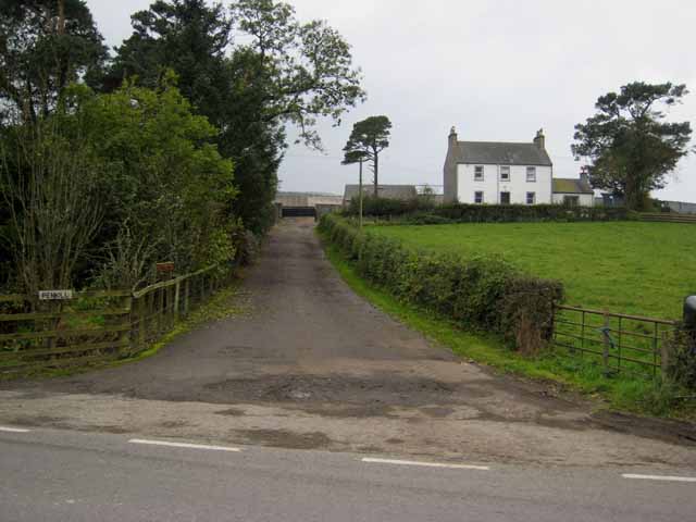
Penkill Castle
Penkill Castle is a 16th-century castle with later additions. It is around 1⁄2 mile (800 metres) south of Old Dailly, northeast of Girvan in south Ayrshire...

Old Dailly
Old Dailly is a hamlet in South Ayrshire, Scotland. It is located west of Dailly (or "New Dailly"). The Charter or Blue stones of Old Dailly in Ayrshire...

Killochan Castle
Killochan Castle is a 16th-century L-plan tower house about 3 miles (4.8 km) north east of Girvan, South Ayrshire, Scotland, north of the Water of Girvan...

Killochan railway station
Killochan railway station was located in a rural part of South Ayrshire, Scotland and mainly served the nearby Killochan Castle estate. The Killochan bank...
Have you been to Camregan Plantation?
Leave your review of Camregan Plantation below (or comments, questions and feedback).