Ballees Plantation

Wood, Forest in Ayrshire

Scotland

Ballees Plantation

In the Ardrossan Wind Farm In the distance the mast of the North Hill Wireless Station.
In the Ardrossan Wind Farm Credit: Gordon Brown

Ballees Plantation is a picturesque woodland located in the heart of Ayrshire, Scotland. Covering an area of approximately 100 hectares, it is an enchanting forest that offers a serene escape from the hustle and bustle of urban life. The plantation is easily accessible, situated just a short distance from the town of Ayr.

The woodland is predominantly made up of native broadleaf trees, including oak, birch, and beech, which create a diverse and rich habitat for a wide variety of flora and fauna. The forest floor is adorned with a carpet of bluebells and wildflowers during the spring, providing a colorful spectacle for visitors.

Ballees Plantation is a popular destination for nature enthusiasts, hikers, and families seeking outdoor adventures. The woodland boasts a network of well-maintained trails, ranging from easy strolls to more challenging hikes, allowing visitors to explore the stunning surroundings at their own pace. Along the trails, there are several designated picnic areas and benches where visitors can rest and soak in the tranquil atmosphere.

Wildlife is abundant in Ballees Plantation, with red squirrels, roe deer, and a wide variety of bird species calling the woodland home. Nature lovers can spot these creatures while walking through the forest, or even catch a glimpse of them from one of the strategically placed bird hides.

Overall, Ballees Plantation is a haven of natural beauty, offering visitors the opportunity to immerse themselves in the tranquility of a Scottish woodland and experience the wonders of nature firsthand.

If you have any feedback on the listing, please let us know in the comments section below.

Ballees Plantation Images

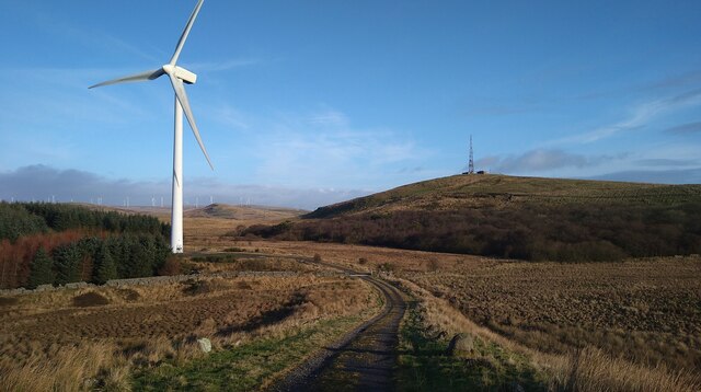
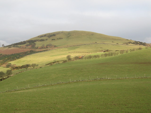
Images are sourced within 2km of 55.706542/-4.82469 or Grid Reference NS2249. Thanks to Geograph Open Source API. All images are credited.

In the Ardrossan Wind Farm In the distance the mast of the North Hill Wireless Station.
In the Ardrossan Wind Farm
In the distance the mast of the North Hill Wireless Station.
Grassy path approaching Blackshaw Hill Blackshaw Hill itself in the distance.
Grassy path approaching Blackshaw Hill
Blackshaw Hill itself in the distance.
Blackshaw Hill cup and ring-marked stone
The track to Blackshaw Farm
View to North Hill Wireless Station, over the un-named lochan There has been a lot of preparation for new tree planting in this area - these are support stakes but seedling trees not yet present.
View to North Hill Wireless Station, over the un-named lochan
There has been a lot of preparation for new tree planting in this area - these are support stakes but seedling trees not yet present.
Temporary track across the field This track is to give access for heavy vehicles to the railway embankment where a water conduit is causing serious flooding and erosion problems.
Temporary track across the field
This track is to give access for heavy vehicles to the railway embankment where a water conduit is causing serious flooding and erosion problems.
Glentane Hill Looking towards Kaim Hill from near the summit of Glentane Hill.
Glentane Hill
Looking towards Kaim Hill from near the summit of Glentane Hill.
Caldron Hill Looking towards Arran from Caldron Hill.
Caldron Hill
Looking towards Arran from Caldron Hill.
Law Castle (West Kilbride) This very fancy fortified tower stands next to Law Hill at West Kilbride.
Law Hill is also Capped with a large Radio Tower belonging now to Arqiva.
Law Castle (West Kilbride)
This very fancy fortified tower stands next to Law Hill at West Kilbride. Law Hill is also Capped with a large Radio Tower belonging now to Arqiva.
Welcome to West  Kilbride Old tattie howker? at the B781 road junction
Welcome to West Kilbride
Old tattie howker? at the B781 road junction
West Kilbride, Junction a view from the west side
West Kilbride, Junction
a view from the west side
Lawoodhead A few houses and a farm near West Kilbride on the Dalry road.
Lawoodhead
A few houses and a farm near West Kilbride on the Dalry road.
West Kilbride, Law Hill
West Kilbride - Dalry Moor Road, Ballees Farm
West Kilbride - Dalry Moor Road, Blackshaw Farm
West Kilbride - Dalry Moor Road, Gill Farm
West Kilbride - Dalry Moor Road Looking northwest
West Kilbride - Dalry Moor Road
Looking northwest
Blackshaw Hill A blink of sun on a grey day.
Blackshaw Hill
A blink of sun on a grey day.
Show me another place!

Ballees Plantation is located at Grid Ref: NS2249 (Lat: 55.706542, Lng: -4.82469)

Unitary Authority: North Ayrshire

Police Authority: Ayrshire

What 3 Words

///lobby.redeeming.heartache. Near West Kilbride, North Ayrshire

Related Wikis

Law Hill

Law Hill is a hill in the North Ayrshire town of West Kilbride, overlooking the Firth of Clyde and the hills of Arran beyond. The summit rises above the...

Law Castle

Law Castle is situated on the lower slopes of Law Hill on the edge of West Kilbride, in North Ayrshire, Scotland. It is around 200 metres (660 ft) from...

West Kilbride railway station

West Kilbride railway station is a railway station that serves the village of West Kilbride, North Ayrshire, Scotland. The station is managed by ScotRail...

Knockewart Loch

Knockewart Loch or Loch Jargon was situated in a hollow lying area beneath Knockewart Hill in the Parish of Ardrossan, North Ayrshire, Scotland. The old...

Nearby Amenities

Located within 500m of 55.706542,-4.82469
Power: tower
Source: Bing
Lat/Long: 55.705562/-4.8216095
Power: tower
Source: Bing
Lat/Long: 55.7058892/-4.8278428
Power: tower
Source: Bing
Lat/Long: 55.7059672/-4.8194208
Power: tower
Source: Bing
Lat/Long: 55.7055123/-4.8276014
Place: farm
Lat/Long: 55.7027112/-4.8228923
Power: pole
Lat/Long: 55.7031105/-4.8224323
Power: pole
Lat/Long: 55.7033699/-4.8217615
Power: pole
Lat/Long: 55.7030859/-4.8208782
Power: tower
Source: Bing
Lat/Long: 55.705538/-4.8244089
Power: tower
Source: Bing
Lat/Long: 55.7059551/-4.8229873
The data included in this document is from www.openstreetmap.org. The data is made available under ODbL.

Have you been to Ballees Plantation?

Leave your review of Ballees Plantation below (or comments, questions and feedback).