Moss

Wood, Forest in Wigtownshire

Scotland

Moss

The Southern Upland Way near Brockloch Hill
The Southern Upland Way near Brockloch Hill Credit: Dave Kelly

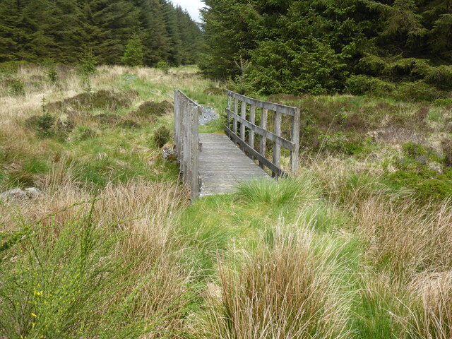
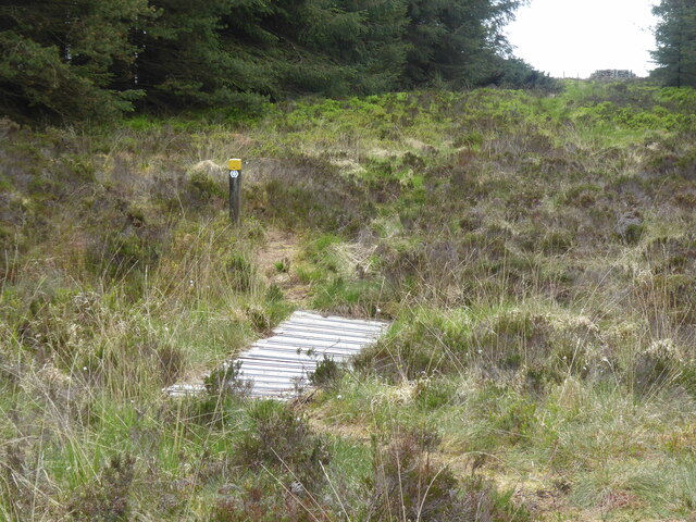
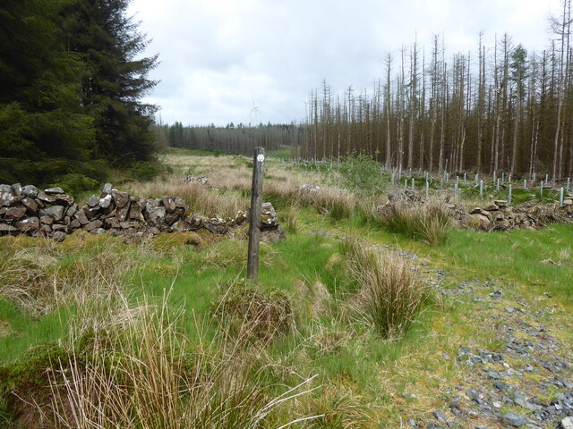
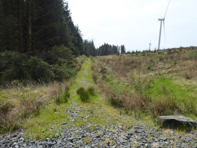
Moss is a charming village located in Wigtownshire, a historic region in southwest Scotland. Situated amidst the picturesque Galloway Forest Park, Moss is aptly named for its abundant woodlands and lush greenery. The village is surrounded by a serene and breathtaking natural landscape, making it a haven for nature lovers and outdoor enthusiasts.

The heart of Moss is its close-knit community, comprising friendly and welcoming residents who take pride in their village. Moss exudes a tranquil ambiance, with its quaint cottages and traditional stone buildings, creating a sense of timelessness.

For those seeking outdoor adventure, Moss offers a plethora of options. The Galloway Forest Park, which encompasses an area of 300 square miles, is a haven for hiking, cycling, and wildlife spotting. The park is also home to the famed Dark Sky Observatory, providing stargazers with an unparalleled opportunity to witness the wonders of the cosmos.

In addition to its natural beauty, Moss boasts a rich history. The village is located near several historical sites, including Wigtown, Scotland's National Book Town. Here, visitors can peruse through numerous independent bookshops, browse antique stores, and immerse themselves in the literary heritage of the area.

Overall, Moss is a hidden gem nestled in the idyllic countryside of Wigtownshire. Its enchanting woodlands, welcoming community, and proximity to natural wonders make it a must-visit destination for those seeking tranquility and a connection with nature.

If you have any feedback on the listing, please let us know in the comments section below.

Moss Images

Images are sourced within 2km of 54.99464/-4.7996611 or Grid Reference NX2170. Thanks to Geograph Open Source API. All images are credited.

The Southern Upland Way near Brockloch Hill
The Southern Upland Way near The Glaster
The Southern Upland Way near Knockniehourie
The Southern Upland Way near Brockloch Hill
The Southern Upland Way near Laggangarn
The Southern Upland Way near Muirglass
Forest track in Kilgallioch Forest An established track providing access around the commercial forest. The Southern Upland Way follows this track for part of its route through the forest.
Forest track in Kilgallioch Forest
An established track providing access around the commercial forest. The Southern Upland Way follows this track for part of its route through the forest.
Path heading into the trees near Muirglass The Southern Upland Way diverges from a forestry track and heads into a ride along a stony path.
Path heading into the trees near Muirglass
The Southern Upland Way diverges from a forestry track and heads into a ride along a stony path.
Wind turbine, Kilgallioch Forest One of only 96 wind turbines which make up the Kilgallioch Wind Farm.
Wind turbine, Kilgallioch Forest
One of only 96 wind turbines which make up the Kilgallioch Wind Farm.
Wind turbines in Kilgallioch Forest Looking across a cleared area of the forest with the tops of three wind turbines peeking over the brow of the sloping ground.
Wind turbines in Kilgallioch Forest
Looking across a cleared area of the forest with the tops of three wind turbines peeking over the brow of the sloping ground.
Clearing in Kilgallioch Forest A large grassy area free from tree cover in Kilgallioch Forest. The wooden shelter provides a small but welcome overnight resting place.
Clearing in Kilgallioch Forest
A large grassy area free from tree cover in Kilgallioch Forest. The wooden shelter provides a small but welcome overnight resting place.
Ruins at Laggangarn The ruins of old walls in the forest clearing at Laggangarn.
Ruins at Laggangarn
The ruins of old walls in the forest clearing at Laggangarn.
Path approaching Laggangarn Standing Stones A path through the Kilgallioch Forest which passes the standing stones near Laggangarn.
Path approaching Laggangarn Standing Stones
A path through the Kilgallioch Forest which passes the standing stones near Laggangarn.
Show me another place!

Moss is located at Grid Ref: NX2170 (Lat: 54.99464, Lng: -4.7996611)

Unitary Authority: Dumfries and Galloway

Police Authority: Dumfries and Galloway

What 3 Words

///unsettled.whistling.bikes. Near Cairnryan, Dumfries & Galloway

Nearby Locations

Moss

Related Wikis

Glenwhilly railway station

Glenwhilly railway station served the area of Glenwhilly, Dumfries and Galloway, Scotland from 1887 to 1965 on the Girvan and Portpatrick Junction Railway...

Kilgallioch

Kilgallioch Wind Farm is a 96 turbine wind farm in South Ayrshire, Scotland with a total capacity of up to 239 megawatts (MW). Consent granted by the Scottish...

New Luce

New Luce (Scottish Gaelic: Baile Ùr Ghlinn Lus) is a civil parish in Dumfries and Galloway, south-west Scotland. It lies in the traditional county of Wigtownshire...

New Luce railway station

New Luce railway station served the village of New Luce, Dumfries and Galloway, Scotland from 1887 to 1965 on the Girvan and Portpatrick Junction Railway...

Nearby Amenities

Located within 500m of 54.99464,-4.7996611
Craig Het
Ele: 186
Natural: peak
Lat/Long: 54.9932303/-4.7950732
Generator Method: wind_turbine
Generator Source: wind
Generator Type: horizontal_axis
Power: generator
Lat/Long: 54.9963273/-4.8021841
Generator Method: wind_turbine
Generator Source: wind
Generator Type: horizontal_axis
Power: generator
Lat/Long: 54.9937917/-4.7960902
Generator Method: wind_turbine
Generator Source: wind
Generator Type: horizontal_axis
Power: generator
Lat/Long: 54.9904187/-4.8023129
The data included in this document is from www.openstreetmap.org. The data is made available under ODbL.

Have you been to Moss?

Leave your review of Moss below (or comments, questions and feedback).