Cloch Plantation
Wood, Forest in Renfrewshire
Scotland
Cloch Plantation

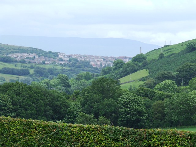
Cloch Plantation is a sprawling woodland located in Renfrewshire, Scotland. Covering an area of approximately 200 acres, it is a prime example of a well-managed and diverse forest. The plantation features a variety of tree species, including oak, birch, beech, and pine, creating a visually stunning landscape.
The management of Cloch Plantation focuses on sustainable practices, ensuring the long-term health and vitality of the woodland. Regular thinning and harvesting are carried out to maintain the ideal density of trees and promote healthy growth. This careful management also allows for the creation of open spaces and clearings, providing habitat diversity for wildlife.
The woodland is a haven for numerous species of flora and fauna. Visitors to Cloch Plantation may catch a glimpse of red deer, roe deer, or even the elusive red squirrel. The forest is also home to a wide array of bird species, including woodpeckers, owls, and various songbirds.
In addition to its natural beauty, Cloch Plantation offers a range of recreational opportunities for visitors. There are several well-maintained trails throughout the woodland, providing opportunities for walking, hiking, and cycling. These trails offer stunning views of the surrounding countryside and are suitable for individuals of all fitness levels.
Overall, Cloch Plantation is a true gem in Renfrewshire, offering a peaceful and picturesque setting for nature enthusiasts and outdoor lovers alike. Its diverse ecosystem, sustainable management practices, and recreational opportunities make it a must-visit destination for anyone seeking to connect with nature.
If you have any feedback on the listing, please let us know in the comments section below.
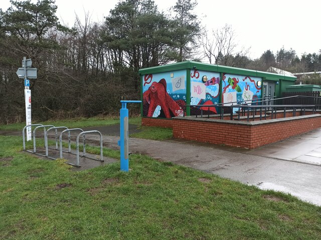
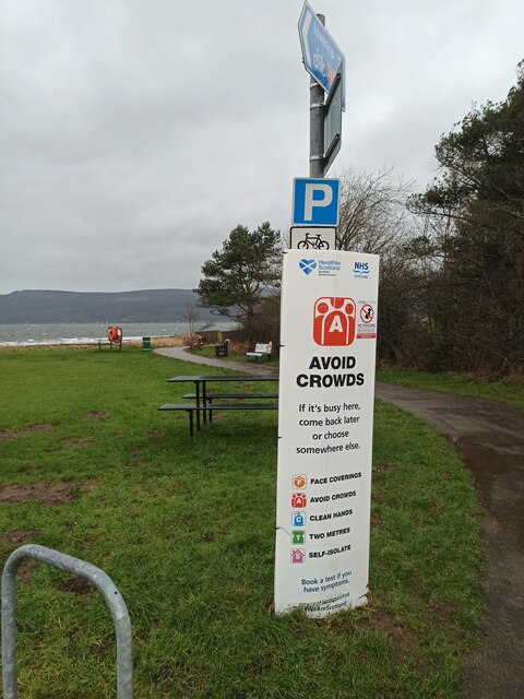
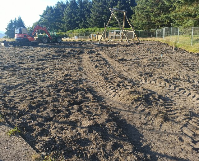
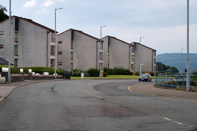
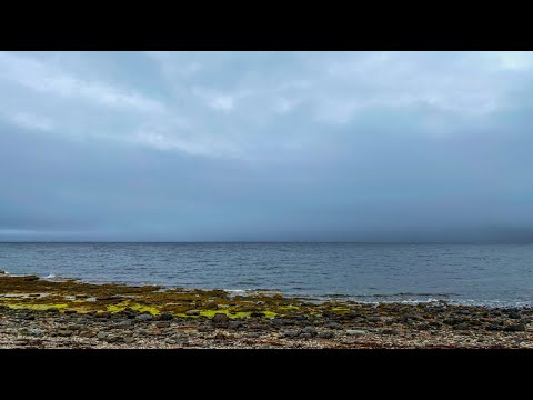
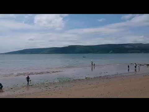
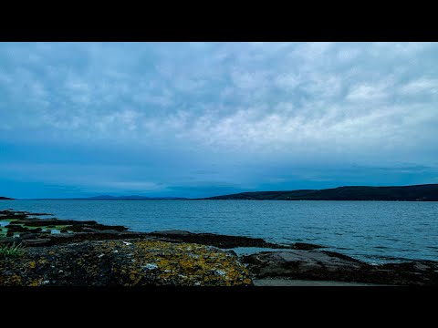
Cloch Plantation Images
Images are sourced within 2km of 55.940247/-4.8731928 or Grid Reference NS2075. Thanks to Geograph Open Source API. All images are credited.


Cloch Plantation is located at Grid Ref: NS2075 (Lat: 55.940247, Lng: -4.8731928)
Unitary Authority: Inverclyde
Police Authority: Renfrewshire and Inverclyde
What 3 Words
///detection.lamp.sway. Near Dunoon, Argyll & Bute
Nearby Locations
Related Wikis
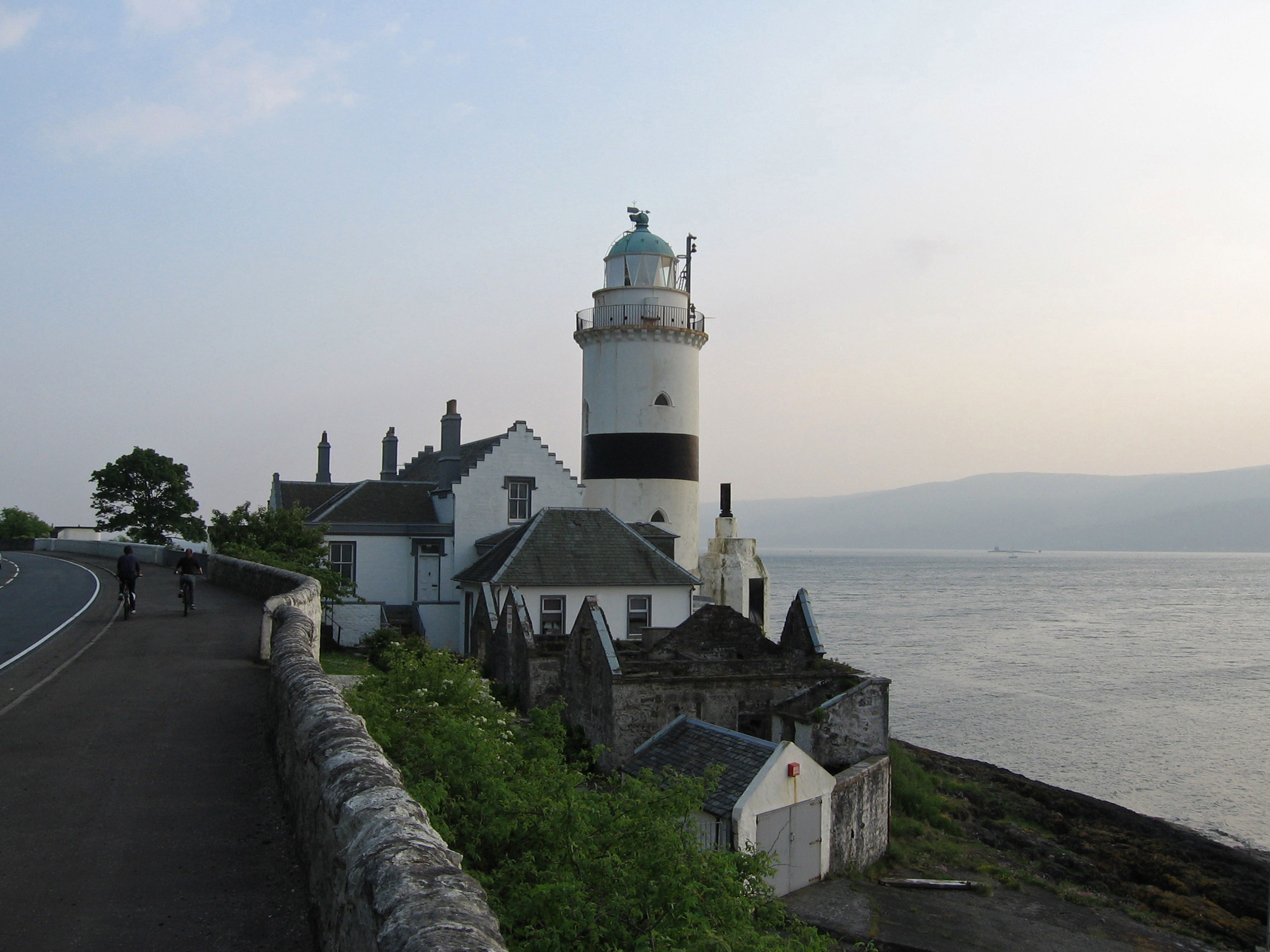
Cloch
Cloch or Cloch Point (Scottish Gaelic: stone) is a point on the coast of the Firth of Clyde, Scotland. There has been a lighthouse since 1797 to warn...

Castle Levan
Castle Levan (also known as Levan Castle) is a fortified tower house in Levan area of Gourock, Inverclyde, Scotland. A building had been on the site from...

Lunderston Bay
Lunderston Bay is located on the east coast of the Firth of Clyde in Inverclyde, by the A770 road approximately midway between the town of Gourock and...
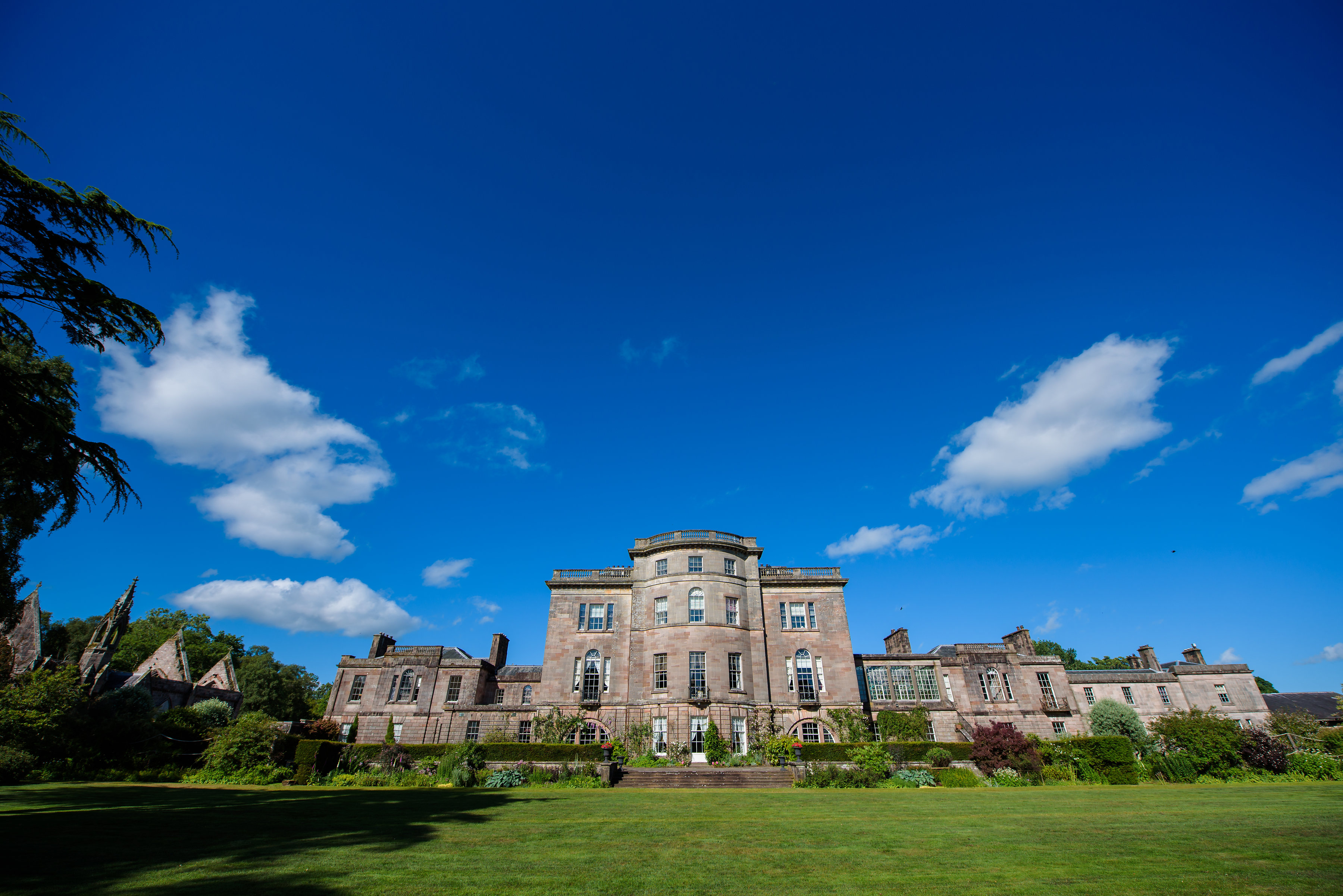
Ardgowan House
Ardgowan House, Castle & Gardens is a Privately owned late 18th-century mansion on the Firth of Clyde near Inverkip, Scotland. Ardgowan is located in Inverclyde...

Ardgowan Castle
Ardgowan Castle, originally called Inverkip Castle, is located in the Private Garden of "Ardgowan House, Castle & Gardens" near Inverkip, Scotland. It...
The Gantocks
The Gantocks is a small group of rocks lying off Dunoon in the upper Firth of Clyde, West of Scotland. A navigation beacon was constructed on the rocks...
Spango Valley
Spango Valley is a steep sided valley to the south-west of Greenock, Scotland. It runs approximately south west to north east for around 2.4 km (1.5 mi...

Dunoon Pier
Dunoon Pier is a Victorian pier in Dunoon, Argyll and Bute, Scotland. It is owned by Argyll and Bute Council, and was completed in its current form in...
Related Videos
Canoe trip on the clyde
Spark drone view of Lunderson bay.

Cloch Lighthouse With Music On History Visit To The Firth Of Clyde Scotland
Tour Scotland short 4K travel video clip, with Scottish music, of Cloch Lighthouse on ancestry, genealogy, family history visit to the ...
Nearby Amenities
Located within 500m of 55.940247,-4.8731928Have you been to Cloch Plantation?
Leave your review of Cloch Plantation below (or comments, questions and feedback).