Black Wood

Wood, Forest in Ayrshire

Scotland

Black Wood

River Stinchar Near Pinmore Bridge
River Stinchar Near Pinmore Bridge Credit: Iain Thompson

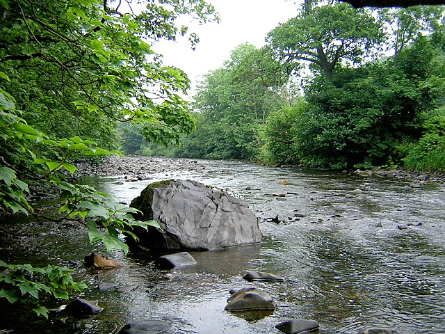
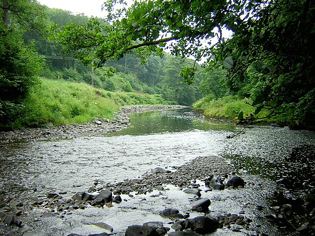
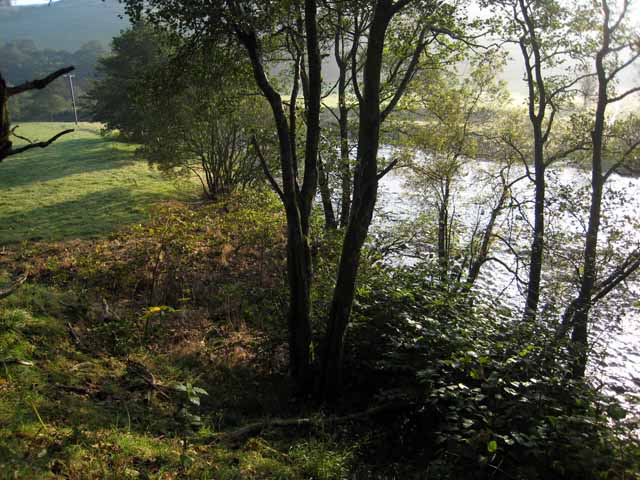
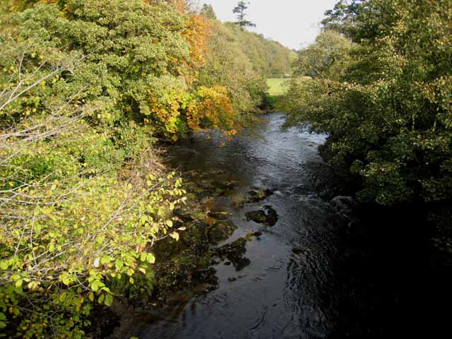
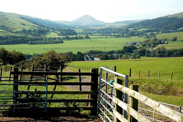
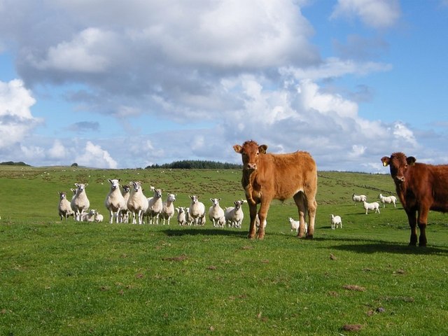
Black Wood is a dense forest located in Ayrshire, Scotland. Stretching across an area of approximately 500 acres, it is known for its rich biodiversity and captivating natural beauty. The wood is primarily composed of native tree species, including oak, birch, ash, and pine, creating a thriving ecosystem that supports a wide variety of flora and fauna.

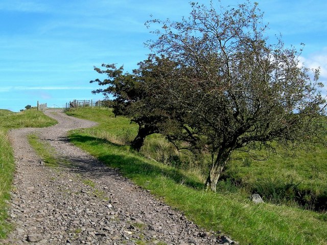
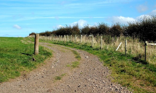
The forest features a network of well-maintained paths and trails, making it a popular destination for outdoor enthusiasts and nature lovers. These pathways offer visitors the opportunity to explore the wood at their own pace, taking in the sights and sounds of the surrounding environment. The tranquil atmosphere of Black Wood provides an ideal setting for hiking, birdwatching, and photography.

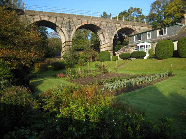
Being one of the oldest woodlands in the region, Black Wood has a long history that can be traced back centuries. Its ancient trees and diverse ecosystem have made it an important site for conservation efforts, with various organizations working to protect its natural heritage.

In addition to its natural beauty, Black Wood also holds cultural significance. It has been a source of inspiration for artists and writers throughout the years, capturing the imaginations of those who venture into its depths. Its mystical atmosphere and ethereal charm have made it a favorite location for storytelling and folklore.

Overall, Black Wood in Ayrshire is a captivating forest that offers a sanctuary for both wildlife and humans alike. Its breathtaking scenery, diverse ecosystem, and rich history make it a must-visit destination for anyone seeking an escape into nature.

If you have any feedback on the listing, please let us know in the comments section below.
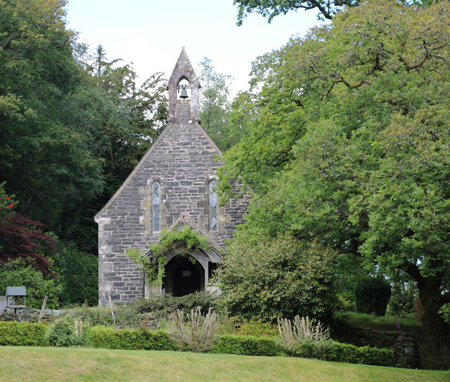
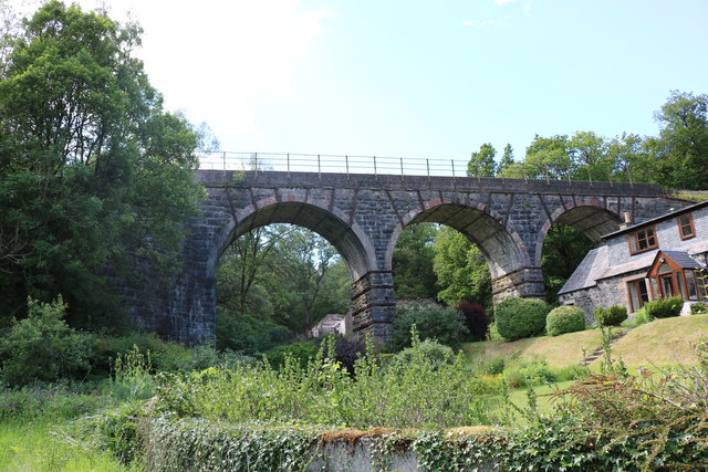
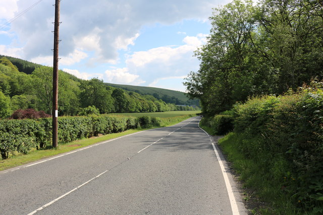
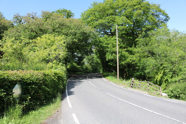
Black Wood Images

Images are sourced within 2km of 55.156178/-4.8349786 or Grid Reference NX1988. Thanks to Geograph Open Source API. All images are credited.

River Stinchar Near Pinmore Bridge
By the banks of the River Stinchar, between Pinmore and Pinwherry
Viaduct at Holmhead, Pinmore On the Girvan to Stranraer railway. Seen from the A714 Girvan to Newton Stewart road.
Viaduct at Holmhead, Pinmore
On the Girvan to Stranraer railway. Seen from the A714 Girvan to Newton Stewart road.
River Stinchar from Pinmore Bridge
Farm Track Near Pinwherry The two hawthorn trees by the track reveal the direction of the prevailing wind.
Farm Track Near Pinwherry
The two hawthorn trees by the track reveal the direction of the prevailing wind.
Going Up A farm track giving access to fields in the Stinchar Valley, near Pinwherry.
Going Up
A farm track giving access to fields in the Stinchar Valley, near Pinwherry.
Good Grazing Land Sheep grazing on improved pasture near Pinwherry, in the Stinchar Valley.
Good Grazing Land
Sheep grazing on improved pasture near Pinwherry, in the Stinchar Valley.
In The Sheepfold This sheepfold is shown on the Explorer Map.
In The Sheepfold
This sheepfold is shown on the Explorer Map.
Stinchar Valley View The view from the sheepfold on the hillside.  The hill in the distance is Knockdolian.
Stinchar Valley View
The view from the sheepfold on the hillside. The hill in the distance is Knockdolian.
Watching the photographer
Old Milestone by the A714, Daljarrock, Colmonell parish Stone post by the A714, in parish of Colmonell (District), Daljarrock, apex of junction with UC road to Colmonell.

Inscription reads:-
: BARRHILL / {<-arrow} 5 / GIRVAN / 7½ {arrow->} : : COLMONELL / 4 {arrow->} / BALLANTRAE / 9 {arrow->} 

Surveyed

Milestone Society National ID: AYS_GVBH08
Old Milestone by the A714, Daljarrock, Colmonell parish
Stone post by the A714, in parish of Colmonell (District), Daljarrock, apex of junction with UC road to Colmonell. Inscription reads:- : BARRHILL / {<-arrow} 5 / GIRVAN / 7½ {arrow->} : : COLMONELL / 4 {arrow->} / BALLANTRAE / 9 {arrow->} Surveyed Milestone Society National ID: AYS_GVBH08
Old Milestone by the A714, north of Laggansarroch Bridge, Colmonell Parish By the A714, in parish of Colmonell (District), North of Daljarrock railway bridge, on straight opposite double metal field gate.

Inscription reads:- : GIRVAN / 7 : : BARRHILL / 5½ :

Surveyed

Milestone Society National ID: AYS_GVBH07
Old Milestone by the A714, north of Laggansarroch Bridge, Colmonell Parish
By the A714, in parish of Colmonell (District), North of Daljarrock railway bridge, on straight opposite double metal field gate. Inscription reads:- : GIRVAN / 7 : : BARRHILL / 5½ : Surveyed Milestone Society National ID: AYS_GVBH07
Pinmore Chapel Just off the A714.
Pinmore Chapel
Just off the A714.
Kinclair Viaduct, Pinmore At Holmhead, thanks to the Ayrshire Rivers Trust Website it&amp;#039;s called Kinclair
Kinclair Viaduct, Pinmore
At Holmhead, thanks to the Ayrshire Rivers Trust Website it's called Kinclair
The A714 to Newton Stewart Via Pinwherry and Barrhill.
The A714 to Newton Stewart
Via Pinwherry and Barrhill.
The A714 to Girvan Via Pinmore, viewed from near Holmhead Farm.
The A714 to Girvan
Via Pinmore, viewed from near Holmhead Farm.
Pinmore Chapel Situated next to the A714.
Pinmore Chapel
Situated next to the A714.
Show me another place!

Black Wood is located at Grid Ref: NX1988 (Lat: 55.156178, Lng: -4.8349786)

Unitary Authority: South Ayrshire

Police Authority: Ayrshire

What 3 Words

///jolt.lame.dreaming. Near Girvan, South Ayrshire

Nearby Locations

Bargain Hill Black Wood

Related Wikis

Pinwherry railway station

Pinwherry railway station served the village of Pinwherry, South Ayrshire, Scotland from 1887 to 1965 on the Girvan and Portpatrick Junction Railway....

Pinwherry

Pinwherry is a hamlet in the civil parish of Colmonell, in the council area of South Ayrshire, Scotland. It is 8 miles south of Girvan. In 1961 it had...

Pinmore railway station

Pinmore railway station served the hamlet of Pinmore, South Ayrshire, Scotland from 1877 to 1965 on the Girvan and Portpatrick Junction Railway. ��2�...

Colmonell

Colmonell (Scottish Gaelic: Cill Cholmain Eala) (meaning the church of St. Colman of Lainn Eala - in Lynally, County Offaly, Ireland) is a small village...

Nearby Amenities

Located within 500m of 55.156178,-4.8349786
Power: pole
Lat/Long: 55.1534002/-4.8290385
Power: pole
Lat/Long: 55.1539811/-4.8286682
Power: pole
Lat/Long: 55.1544207/-4.8288885
Power: pole
Lat/Long: 55.1547195/-4.828817
Power: pole
Lat/Long: 55.1546685/-4.8282453
Power: pole
Lat/Long: 55.155386/-4.827766
Power: pole
Lat/Long: 55.156171/-4.8272849
Power: pole
Lat/Long: 55.1572479/-4.8280884
Power: pole
Lat/Long: 55.1580332/-4.8278702
Place: farm
Lat/Long: 55.1555354/-4.8293015
Bargain Hill
Ele: 219
Natural: peak
Lat/Long: 55.1567316/-4.8403243
Power: pole
Lat/Long: 55.1528858/-4.8298135
Bus Stop
Pinwherry, Daljarrock Caravan Park
Naptan AtcoCode: 61901006
Naptan NaptanCode: 29784356
Public Transport: platform
Lat/Long: 55.1556857/-4.832599
Bus Stop
Pinwherry, Daljarrock Caravan Park
Naptan AtcoCode: 61901007
Naptan NaptanCode: 29742756
Public Transport: platform
Lat/Long: 55.1556857/-4.8325132
Power: pole
Lat/Long: 55.154705/-4.8295023
Power: pole
Lat/Long: 55.1547547/-4.8308286
Power: pole
Lat/Long: 55.1548125/-4.8317575
Power: pole
Lat/Long: 55.155053/-4.8311014
Power: pole
Lat/Long: 55.1564907/-4.8314283
Power: pole
Lat/Long: 55.1564088/-4.8307792
Power: pole
Lat/Long: 55.1563281/-4.8301842
Power: pole
Lat/Long: 55.1564222/-4.8283263
Power: pole
Lat/Long: 55.155537/-4.8285814
The data included in this document is from www.openstreetmap.org. The data is made available under ODbL.

Have you been to Black Wood?

Leave your review of Black Wood below (or comments, questions and feedback).