Bargain Hill

Hill, Mountain in Ayrshire

Scotland

Bargain Hill

River Stinchar Near Pinmore Bridge
River Stinchar Near Pinmore Bridge Credit: Iain Thompson

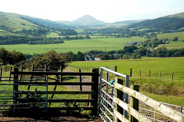
Bargain Hill is a prominent hill located in the region of Ayrshire, Scotland. Situated just outside the town of Dalmellington, it is part of the Southern Uplands range and stands at an elevation of approximately 1,060 feet (323 meters) above sea level.

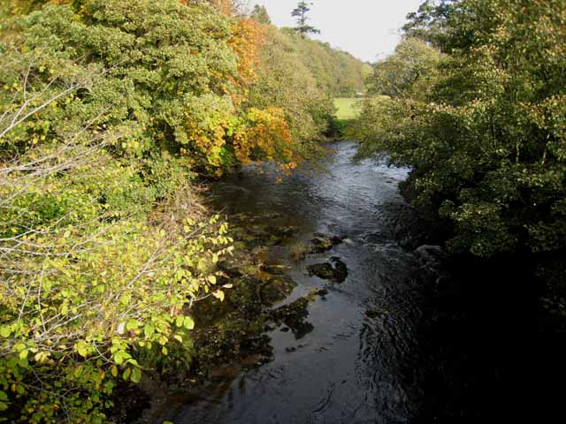
This distinctive hill offers breathtaking panoramic views of the surrounding countryside, making it a popular destination for hikers, nature enthusiasts, and photographers. Its strategic location provides stunning vistas of the nearby Galloway Forest Park, with its rolling hills, dense forests, and picturesque lochs. On a clear day, the views extend as far as the Ailsa Craig, an iconic island in the Firth of Clyde.

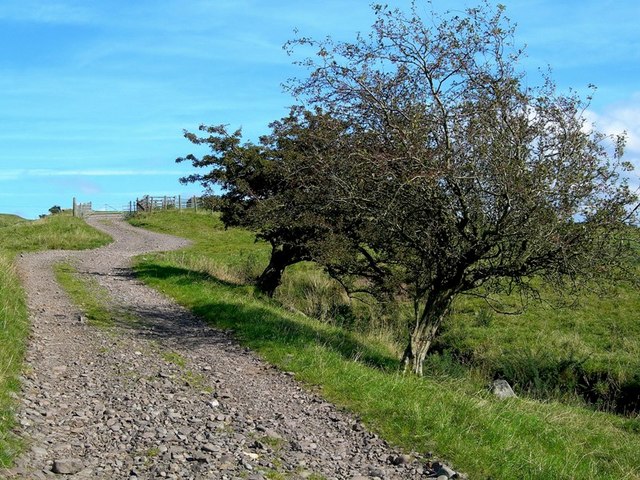
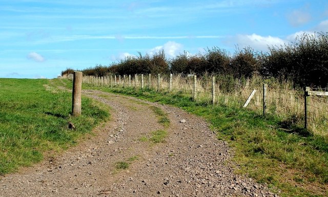
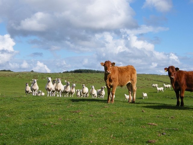
Bargain Hill is easily accessible by foot, with several well-marked trails leading to its summit. The ascent can be challenging in places, but the effort is rewarded by the stunning scenery that unfolds along the way and at the top. The hill is home to a diverse range of flora and fauna, including heather, mosses, and a variety of bird species.

The surrounding area boasts a rich history, with traces of prehistoric settlements and ancient burial mounds found nearby. Bargain Hill itself has remnants of an Iron Age fort, adding to its historical significance. Visitors can immerse themselves in the past while exploring the hill and its surroundings.

Overall, Bargain Hill in Ayrshire is a captivating natural landmark that offers both physical challenges and visual delights, making it a must-visit destination for outdoor enthusiasts and those seeking a connection with Scotland's rich heritage.

If you have any feedback on the listing, please let us know in the comments section below.
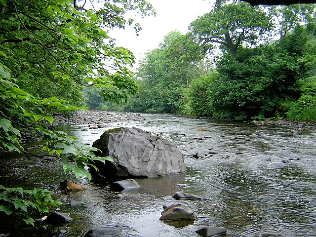
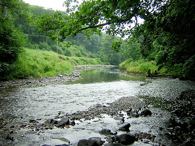
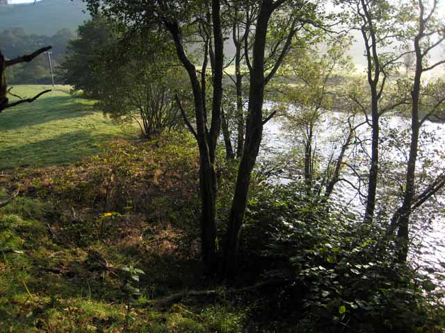
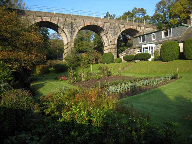
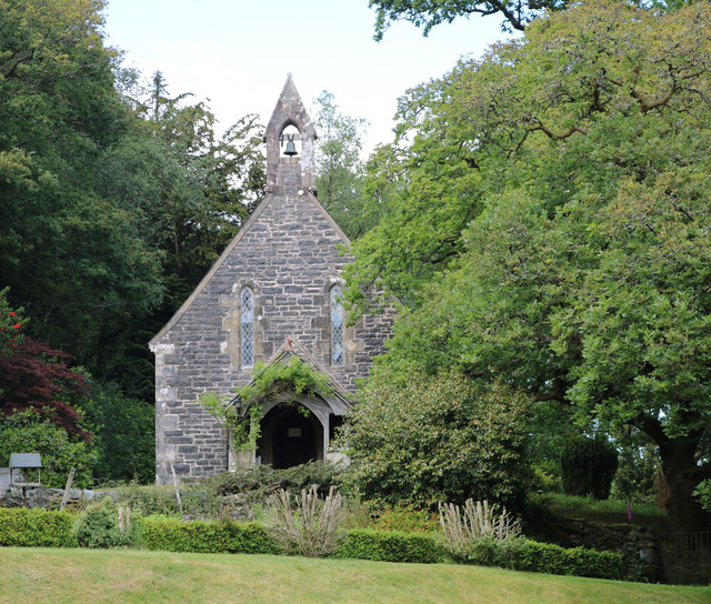
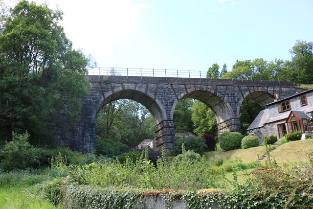
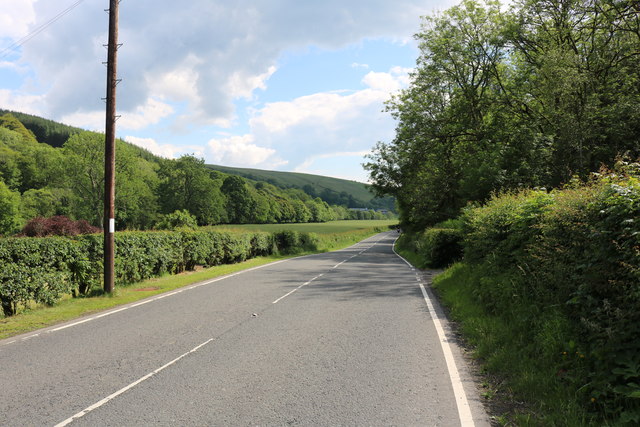
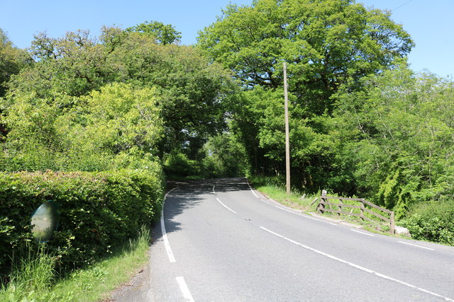
Bargain Hill Images

Images are sourced within 2km of 55.1569/-4.8406348 or Grid Reference NX1988. Thanks to Geograph Open Source API. All images are credited.

River Stinchar Near Pinmore Bridge
By the banks of the River Stinchar, between Pinmore and Pinwherry
Viaduct at Holmhead, Pinmore On the Girvan to Stranraer railway. Seen from the A714 Girvan to Newton Stewart road.
Viaduct at Holmhead, Pinmore
On the Girvan to Stranraer railway. Seen from the A714 Girvan to Newton Stewart road.
River Stinchar from Pinmore Bridge
Farm Track Near Pinwherry The two hawthorn trees by the track reveal the direction of the prevailing wind.
Farm Track Near Pinwherry
The two hawthorn trees by the track reveal the direction of the prevailing wind.
Going Up A farm track giving access to fields in the Stinchar Valley, near Pinwherry.
Going Up
A farm track giving access to fields in the Stinchar Valley, near Pinwherry.
Good Grazing Land Sheep grazing on improved pasture near Pinwherry, in the Stinchar Valley.
Good Grazing Land
Sheep grazing on improved pasture near Pinwherry, in the Stinchar Valley.
In The Sheepfold This sheepfold is shown on the Explorer Map.
In The Sheepfold
This sheepfold is shown on the Explorer Map.
Stinchar Valley View The view from the sheepfold on the hillside.  The hill in the distance is Knockdolian.
Stinchar Valley View
The view from the sheepfold on the hillside. The hill in the distance is Knockdolian.
Watching the photographer
Old Milestone by the A714, Daljarrock, Colmonell parish Stone post by the A714, in parish of Colmonell (District), Daljarrock, apex of junction with UC road to Colmonell.

Inscription reads:-
: BARRHILL / {<-arrow} 5 / GIRVAN / 7½ {arrow->} : : COLMONELL / 4 {arrow->} / BALLANTRAE / 9 {arrow->} 

Surveyed

Milestone Society National ID: AYS_GVBH08
Old Milestone by the A714, Daljarrock, Colmonell parish
Stone post by the A714, in parish of Colmonell (District), Daljarrock, apex of junction with UC road to Colmonell. Inscription reads:- : BARRHILL / {<-arrow} 5 / GIRVAN / 7½ {arrow->} : : COLMONELL / 4 {arrow->} / BALLANTRAE / 9 {arrow->} Surveyed Milestone Society National ID: AYS_GVBH08
Old Milestone by the A714, north of Laggansarroch Bridge, Colmonell Parish By the A714, in parish of Colmonell (District), North of Daljarrock railway bridge, on straight opposite double metal field gate.

Inscription reads:- : GIRVAN / 7 : : BARRHILL / 5½ :

Surveyed

Milestone Society National ID: AYS_GVBH07
Old Milestone by the A714, north of Laggansarroch Bridge, Colmonell Parish
By the A714, in parish of Colmonell (District), North of Daljarrock railway bridge, on straight opposite double metal field gate. Inscription reads:- : GIRVAN / 7 : : BARRHILL / 5½ : Surveyed Milestone Society National ID: AYS_GVBH07
Pinmore Chapel Just off the A714.
Pinmore Chapel
Just off the A714.
Kinclair Viaduct, Pinmore At Holmhead, thanks to the Ayrshire Rivers Trust Website it&amp;#039;s called Kinclair
Kinclair Viaduct, Pinmore
At Holmhead, thanks to the Ayrshire Rivers Trust Website it's called Kinclair
The A714 to Newton Stewart Via Pinwherry and Barrhill.
The A714 to Newton Stewart
Via Pinwherry and Barrhill.
The A714 to Girvan Via Pinmore, viewed from near Holmhead Farm.
The A714 to Girvan
Via Pinmore, viewed from near Holmhead Farm.
Pinmore Chapel Situated next to the A714.
Pinmore Chapel
Situated next to the A714.
Show me another place!

Bargain Hill is located at Grid Ref: NX1988 (Lat: 55.1569, Lng: -4.8406348)

Unitary Authority: South Ayrshire

Police Authority: Ayrshire

What 3 Words

///reason.animals.baker. Near Girvan, South Ayrshire

Nearby Locations

Bargain Hill Black Wood

Related Wikis

Pinwherry railway station

Pinwherry railway station served the village of Pinwherry, South Ayrshire, Scotland from 1887 to 1965 on the Girvan and Portpatrick Junction Railway....

Pinwherry

Pinwherry is a hamlet in the civil parish of Colmonell, in the council area of South Ayrshire, Scotland. It is 8 miles south of Girvan. In 1961 it had...

Pinmore railway station

Pinmore railway station served the hamlet of Pinmore, South Ayrshire, Scotland from 1877 to 1965 on the Girvan and Portpatrick Junction Railway. ��2�...

Colmonell

Colmonell (Scottish Gaelic: Cill Cholmain Eala) (meaning the church of St. Colman of Lainn Eala - in Lynally, County Offaly, Ireland) is a small village...

Nearby Amenities

Located within 500m of 55.1569,-4.8406348
Bargain Hill
Ele: 219
Natural: peak
Lat/Long: 55.1567316/-4.8403243
The data included in this document is from www.openstreetmap.org. The data is made available under ODbL.

Have you been to Bargain Hill?

Leave your review of Bargain Hill below (or comments, questions and feedback).