Piedmont Wood
Wood, Forest in Ayrshire
Scotland
Piedmont Wood
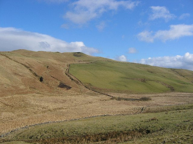
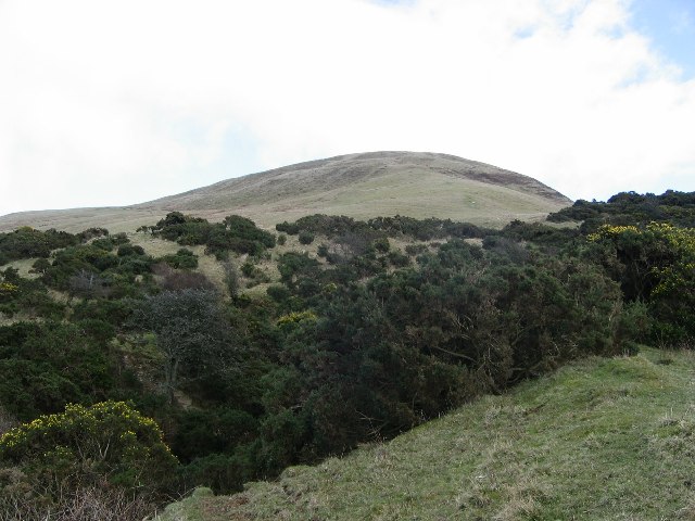
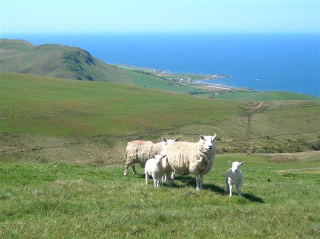
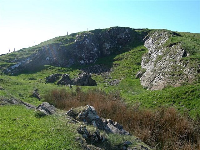
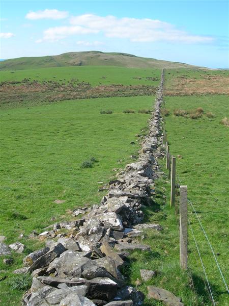
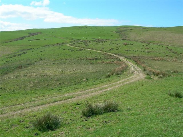
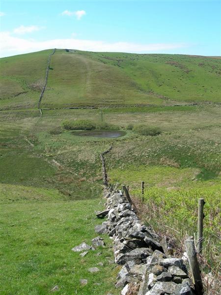
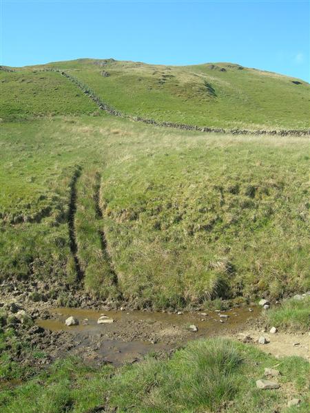
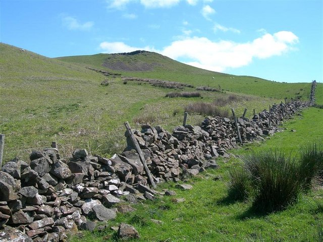
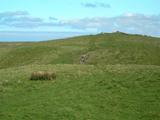
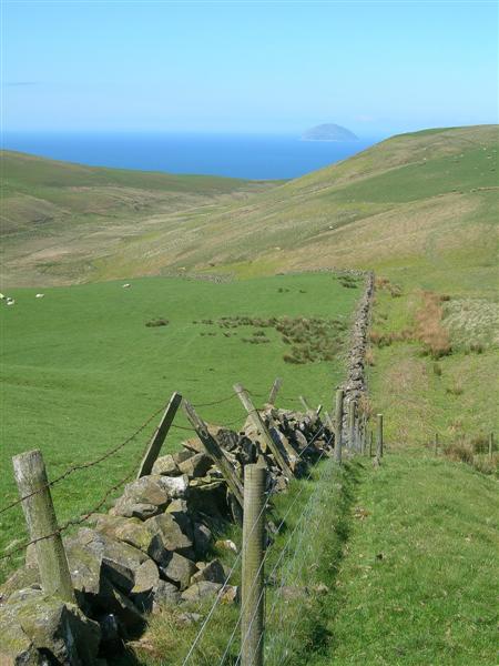
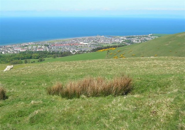
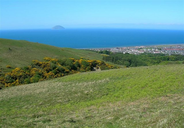
Piedmont Wood, located in Ayrshire, Scotland, is a picturesque forest spanning over a vast area of land. The wood is situated at the foothills of the majestic Piedmont Hills, which provide a stunning backdrop to the landscape. With its lush greenery, diverse wildlife, and tranquil atmosphere, Piedmont Wood is a haven for nature enthusiasts and those seeking solace in the great outdoors.
The wood boasts a varied range of tree species, including ancient oaks, towering Scots pines, and delicate silver birches. These trees create a dense canopy that filters sunlight and casts dappled shadows on the forest floor. Walking through Piedmont Wood, one can admire the interplay of light and shade, as well as the vibrant hues of the changing seasons.
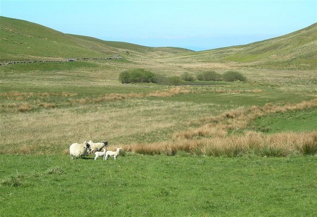
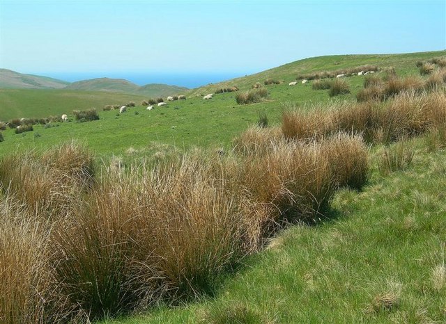
The forest is home to a rich assortment of wildlife. Deer can often be spotted grazing in the open meadows, while red squirrels scurry among the branches. Birdsong fills the air, with species such as woodpeckers, owls, and thrushes calling Piedmont Wood their home. Nature enthusiasts can enjoy birdwatching or simply relish the peaceful ambiance.
Piedmont Wood offers numerous walking trails that cater to different levels of fitness and interest. Visitors can embark on leisurely strolls along well-maintained paths or opt for more challenging hikes that take them deeper into the heart of the woodland. Regardless of the chosen route, one is guaranteed breathtaking vistas and the opportunity to connect with nature.
In conclusion, Piedmont Wood stands as a testament to the beauty and tranquility of Ayrshire's natural landscape. Its diverse flora and fauna, coupled with its well-defined walking trails, make it an ideal destination for anyone seeking respite from the hustle and bustle of everyday life.
If you have any feedback on the listing, please let us know in the comments section below.
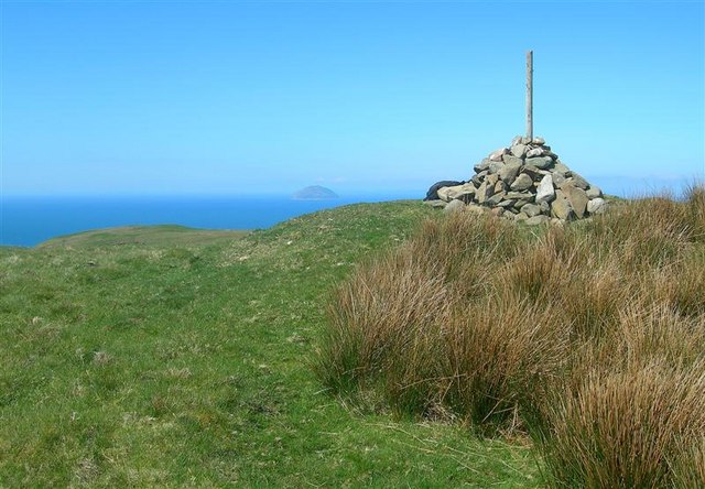
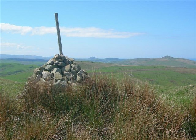
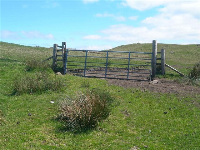
Piedmont Wood Images
Images are sourced within 2km of 55.229004/-4.8446268 or Grid Reference NX1996. Thanks to Geograph Open Source API. All images are credited.
Piedmont Wood is located at Grid Ref: NX1996 (Lat: 55.229004, Lng: -4.8446268)
Unitary Authority: South Ayrshire
Police Authority: Ayrshire
What 3 Words
///crunches.actors.running. Near Girvan, South Ayrshire
Nearby Locations
Related Wikis

Girvan
Girvan (Scottish Gaelic: Inbhir Gharbhain, "mouth of the River Girvan") is a burgh and harbour town in Carrick, South Ayrshire, Scotland. Girvan is situated...

Ian Henderson (RAF officer)
Captain Ian Henry David Henderson (2 October 1896 – 21 June 1918) was a British World War I flying ace credited with seven aerial victories. == Biography... ==
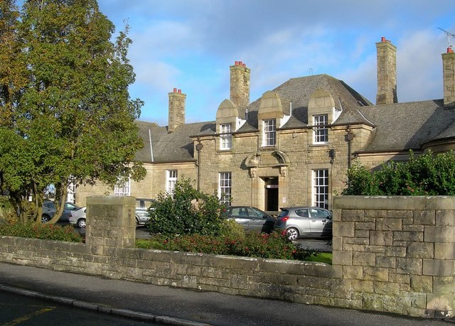
Davidson Hospital
The Davidson Hospital was a health facility in Girvan, South Ayrshire, Scotland. It was managed by NHS Ayrshire and Arran. It remains a Category B listed...

Girvan Steeple
The Girvan Steeple is a steeple and the site of a former townhouse in Girvan, South Ayrshire, Scotland. Its popular name, "Stumpy Tower", "Stumpy Jail...
West FM
West FM is an Independent Local Radio station based in Glasgow, Scotland, owned and operated by Bauer as part of the Hits Radio network. It broadcasts...
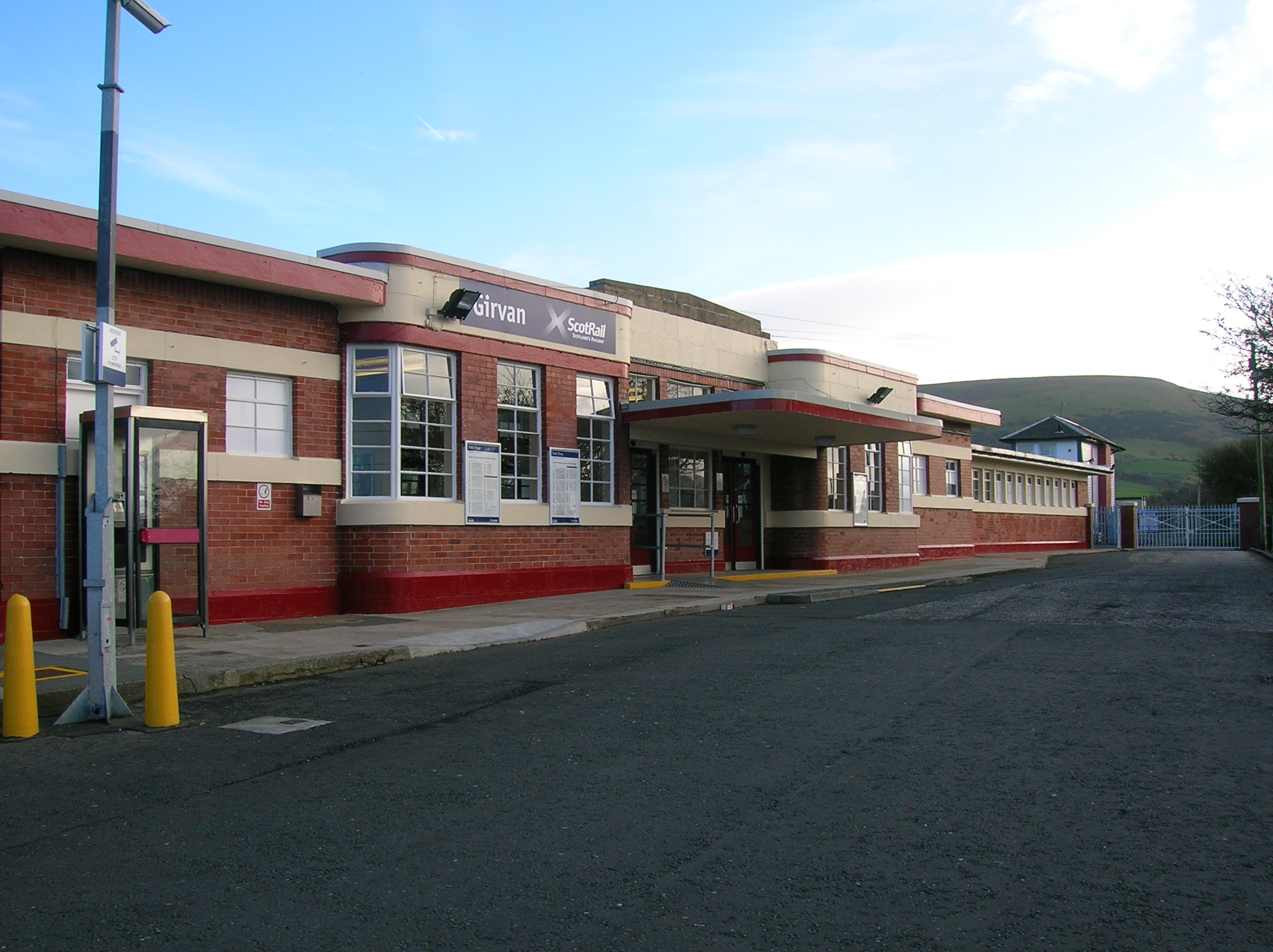
Girvan railway station
Girvan railway station is a railway station serving the town of Girvan, South Ayrshire, Scotland. The station is managed by ScotRail, who operate all passenger...
Girvan F.C.
Girvan Football Club is a Scottish football club based in Girvan, South Ayrshire. Nicknamed the Seasiders, they were formed in 1947 and play at Hamilton...

Girvan (old) railway station
Girvan Old railway station was a terminus station opened in Girvan, in Carrick, South Ayrshire, Scotland by the Maybole and Girvan Railway. Although ambitions...
Nearby Amenities
Located within 500m of 55.229004,-4.8446268Have you been to Piedmont Wood?
Leave your review of Piedmont Wood below (or comments, questions and feedback).