Dow Hill
Hill, Mountain in Ayrshire
Scotland
Dow Hill
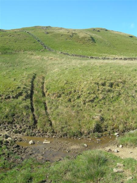
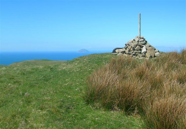
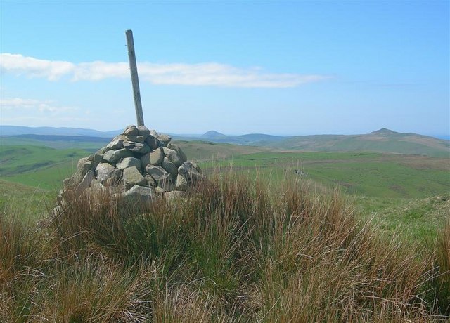
Dow Hill is a prominent hill located in Ayrshire, a county in southwestern Scotland. Rising to an elevation of approximately 457 meters (1,500 feet), it is often referred to as a mountain due to its significant height and commanding presence in the landscape.
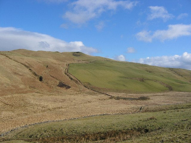
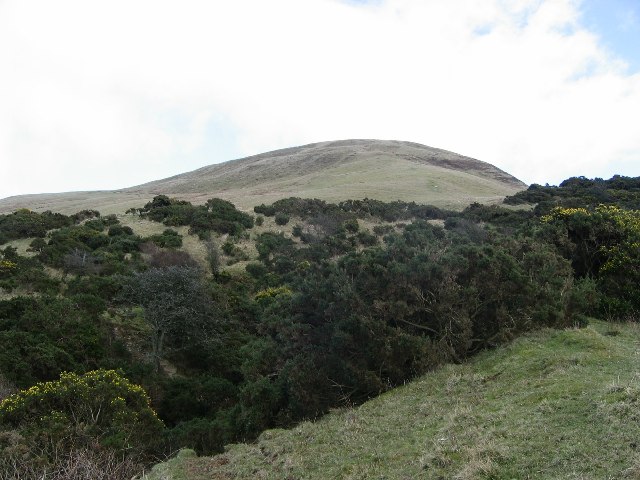
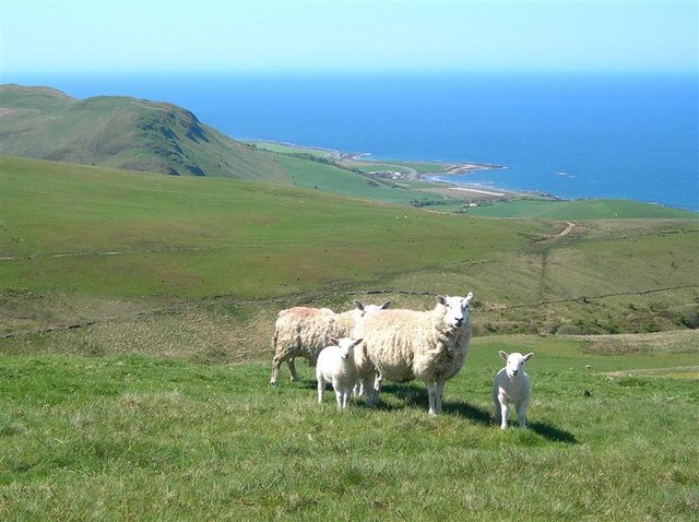
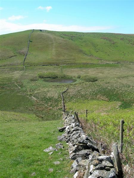
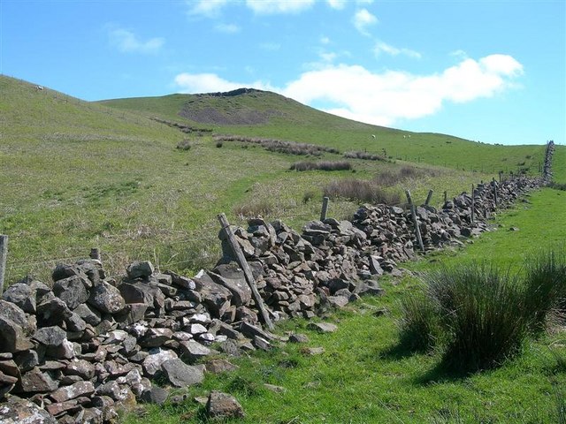
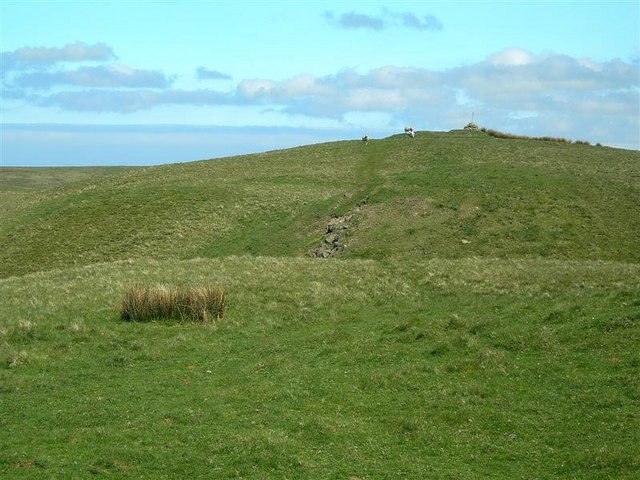
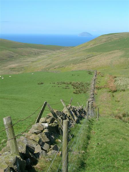
Situated within the Carrick Hills, Dow Hill offers breathtaking panoramic views of the surrounding countryside, including the town of Maybole and the Firth of Clyde. Its location in a rural area makes it a popular destination for outdoor enthusiasts, hikers, and nature lovers.
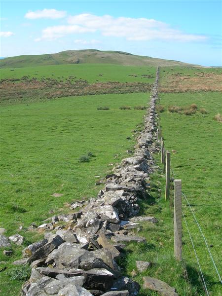
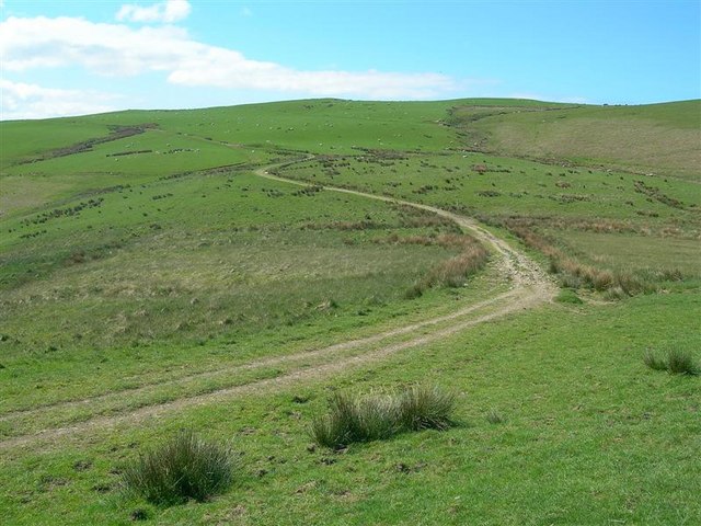
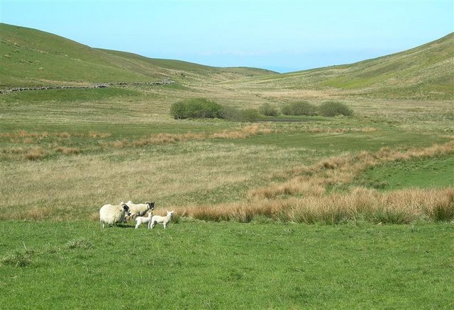
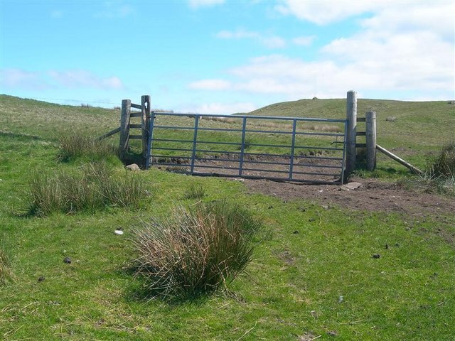
The hill is characterized by its gentle slopes, covered in a patchwork of grassy fields, heather moorland, and scattered woodland. Its well-maintained trails and pathways make it accessible to walkers of all abilities, offering opportunities to explore its diverse flora and fauna.
Dow Hill is also home to diverse wildlife, including a variety of bird species such as buzzards, kestrels, and peregrine falcons. The hill's rich biodiversity attracts nature enthusiasts and birdwatchers who come to observe and photograph these remarkable creatures.
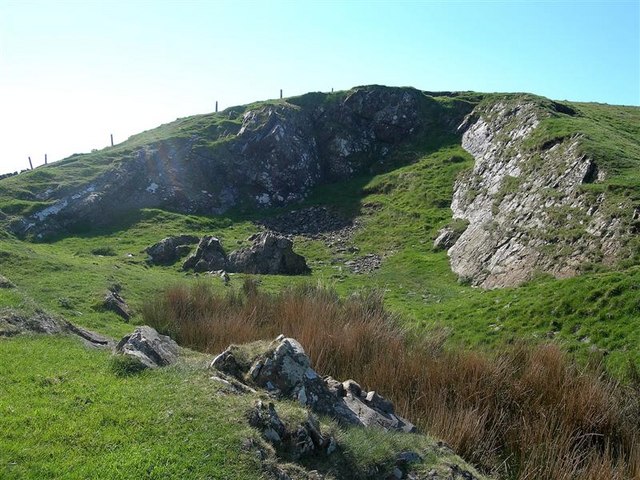
Additionally, Dow Hill has a historical significance as it is believed to have been inhabited in ancient times. Archaeological remains, including Iron Age forts and burial mounds, can be found in the vicinity, providing insights into the area's past.
Overall, Dow Hill is a captivating natural landmark that offers stunning views, abundant wildlife, and a glimpse into the region's history. It remains a cherished destination for those seeking tranquility and a connection with nature in Ayrshire.
If you have any feedback on the listing, please let us know in the comments section below.
Dow Hill Images
Images are sourced within 2km of 55.225859/-4.8430182 or Grid Reference NX1996. Thanks to Geograph Open Source API. All images are credited.


Dow Hill is located at Grid Ref: NX1996 (Lat: 55.225859, Lng: -4.8430182)
Unitary Authority: South Ayrshire
Police Authority: Ayrshire
What 3 Words
///crabmeat.vase.videos. Near Girvan, South Ayrshire
Nearby Locations
Related Wikis

Ian Henderson (RAF officer)
Captain Ian Henry David Henderson (2 October 1896 – 21 June 1918) was a British World War I flying ace credited with seven aerial victories. == Biography... ==
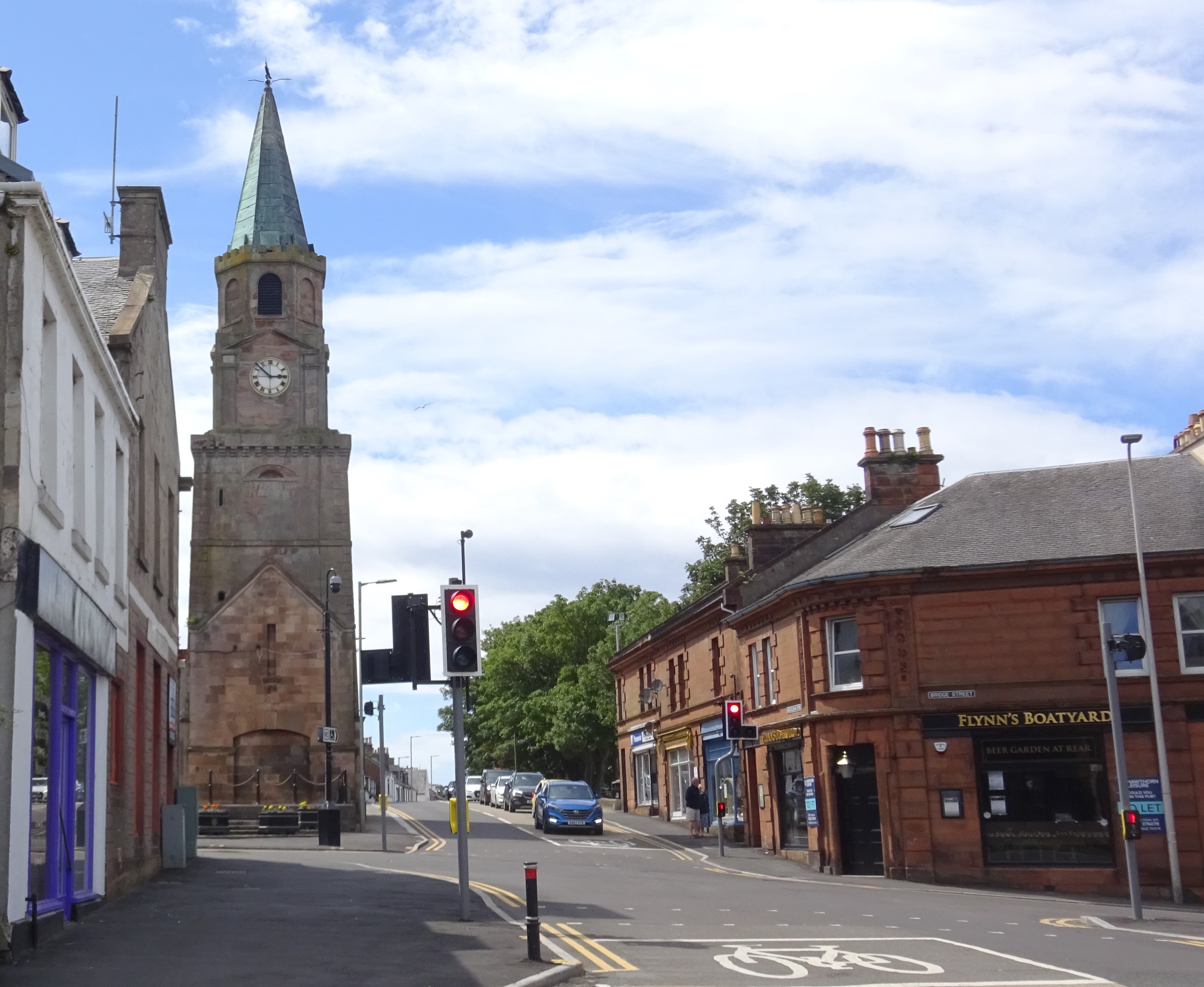
Girvan
Girvan (Scottish Gaelic: Inbhir Gharbhain, "mouth of the River Girvan") is a burgh and harbour town in Carrick, South Ayrshire, Scotland. Girvan is situated...
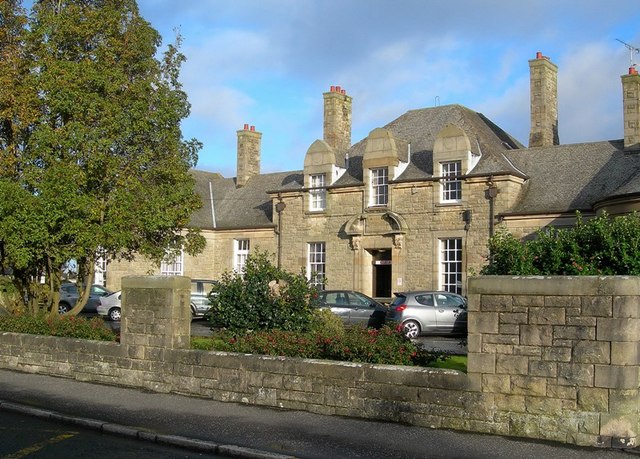
Davidson Hospital
The Davidson Hospital was a health facility in Girvan, South Ayrshire, Scotland. It was managed by NHS Ayrshire and Arran. It remains a Category B listed...

Girvan Steeple
The Girvan Steeple is a steeple and the site of a former townhouse in Girvan, South Ayrshire, Scotland. Its popular name, "Stumpy Tower", "Stumpy Jail...
West FM
West FM is an Independent Local Radio station based in Glasgow, Scotland, owned and operated by Bauer as part of the Hits Radio network. It broadcasts...
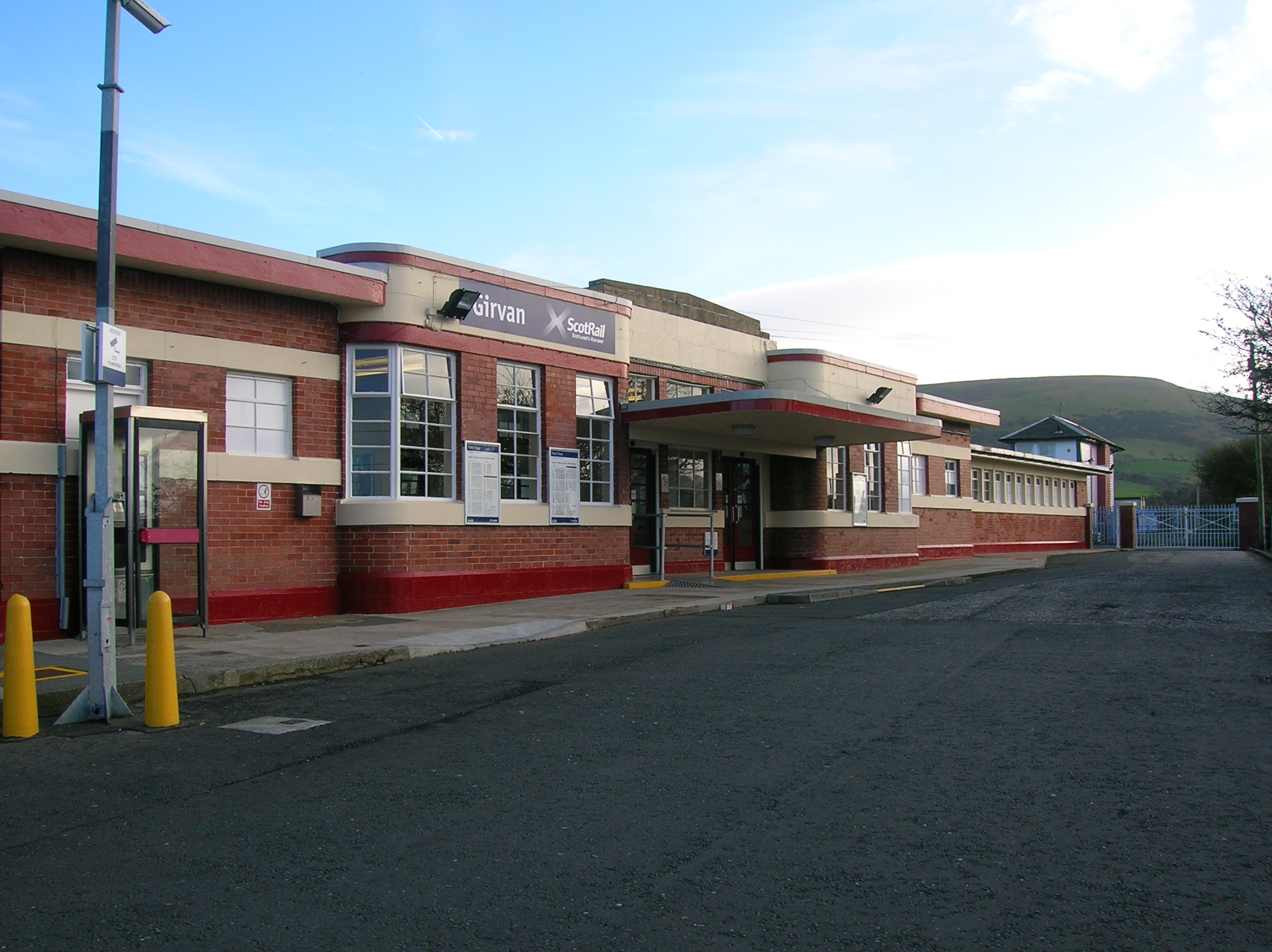
Girvan railway station
Girvan railway station is a railway station serving the town of Girvan, South Ayrshire, Scotland. The station is managed by ScotRail, who operate all passenger...
Girvan F.C.
Girvan Football Club is a Scottish football club based in Girvan, South Ayrshire. Nicknamed the Seasiders, they were formed in 1947 and play at Hamilton...

Girvan (old) railway station
Girvan Old railway station was a terminus station opened in Girvan, in Carrick, South Ayrshire, Scotland by the Maybole and Girvan Railway. Although ambitions...
Nearby Amenities
Located within 500m of 55.225859,-4.8430182Have you been to Dow Hill?
Leave your review of Dow Hill below (or comments, questions and feedback).