Camlan
Settlement in Merionethshire
Wales
Camlan
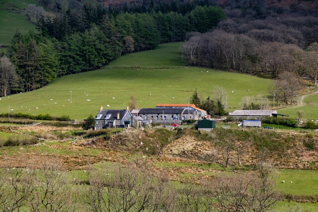
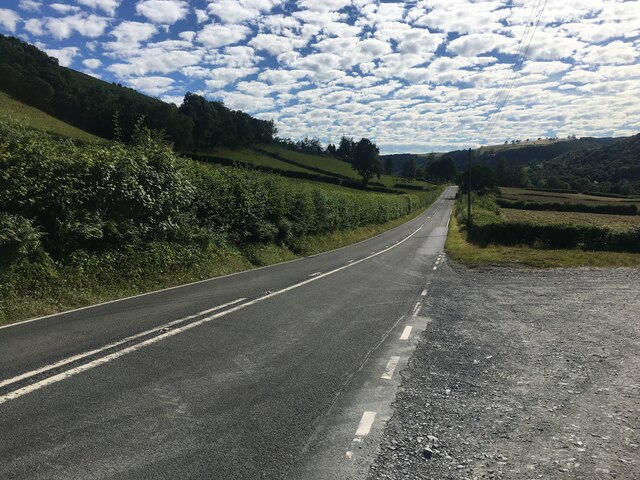
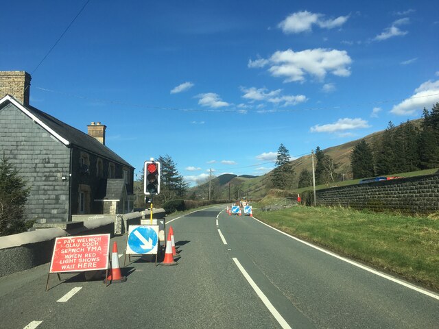
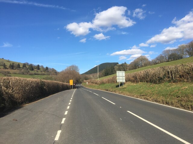
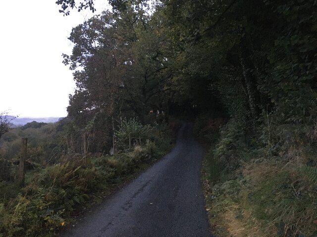
Camlan is a small village located in the county of Merionethshire, Wales. Situated in the beautiful Snowdonia National Park, the village is surrounded by stunning natural landscapes and offers a peaceful and picturesque setting.
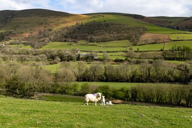
With a population of around 300 residents, Camlan has a tight-knit community that is known for its friendly and welcoming atmosphere. The village is primarily residential, with a mix of traditional Welsh cottages and modern houses. The local economy is largely based on agriculture and tourism, with farming being a prominent activity in the area.
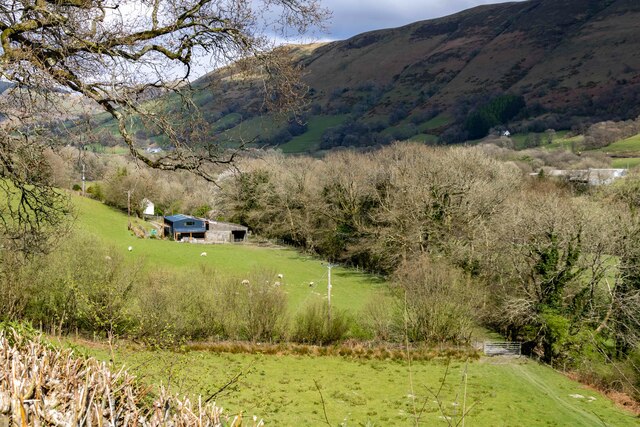
Camlan is a popular destination for outdoor enthusiasts, offering a range of activities for visitors to enjoy. The village is surrounded by rolling hills, mountains, and valleys, providing ample opportunities for hiking, cycling, and exploring the countryside. The nearby Rhinog Mountains are particularly popular among hikers, offering breathtaking views and challenging trails.
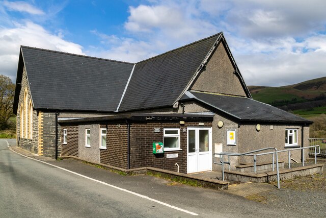
Within the village, there are a few local amenities, including a community center, a small shop, and a pub that serves as a social hub for residents and visitors alike. The village also hosts various events throughout the year, such as festivals and farmers' markets, which showcase the local culture and produce.
Overall, Camlan is a charming village that offers a tranquil escape in the heart of the Welsh countryside. Its natural beauty, friendly community, and outdoor activities make it an attractive destination for those seeking a peaceful retreat or an adventure in nature.
If you have any feedback on the listing, please let us know in the comments section below.
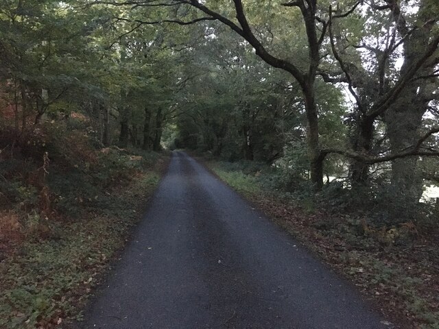
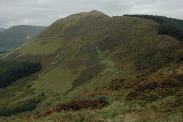
Camlan Images
Images are sourced within 2km of 52.693932/-3.698054 or Grid Reference SH8512. Thanks to Geograph Open Source API. All images are credited.


Camlan is located at Grid Ref: SH8512 (Lat: 52.693932, Lng: -3.698054)
Unitary Authority: Gwynedd
Police Authority: North Wales
What 3 Words
///parts.baking.tastings. Near Cwm-Llinau, Powys
Nearby Locations
Related Wikis

Mallwyd
Mallwyd () is a small village at the most southern end of Gwynedd, Wales, in the Dinas Mawddwy community, in the valley of the River Dyfi. It lies on the...

Meirion Mill Railway
The Meirion Mill Railway was a narrow gauge railway that operated at Meirion Mill in Dinas Mawddwy, Wales. It only operated for three years from 1975 to...

Pont Minllyn
Pont Minllyn (also known as Pont-y-Ffinant or Pontrusk Bridge) is a bridge spanning the Afon Dyfi, north of the village of Mallwyd, in Gwynedd, Wales....
Moel y Ffridd
Moel y Ffridd (also known as Foel y Ffridd) is a mountain in Wales. It lies north-west of the village of Aberangell and west of Mallwyd and is one of the...
Aberangell railway station
Aberangell railway station was an intermediate railway station on the Mawddwy Railway which ran from Cemmaes Road to Dinas Mawddy in the Welsh county...

Aberangell
Aberangell () is a village in Gwynedd, Wales. == Geography == Aberangell stands at the confluence of the Afon Angell and the Afon Dyfi, and lies within...
Foel Dinas
Foel Dinas is a mountain in Wales. It is the north-westernmost peak of the Dyfi Hills and sits above the town of Dinas Mawddwy. In the 1870s its eastern...

Afon Angell
The Afon Angell is a river in Gwynedd, Mid Wales. The river flows eastwards from its source on the eastern flank of Mynydd Dolgoed, joining the Afon Dyfi...
Nearby Amenities
Located within 500m of 52.693932,-3.698054Have you been to Camlan?
Leave your review of Camlan below (or comments, questions and feedback).