Leckmelm Wood

Wood, Forest in Ross-shire

Scotland

Leckmelm Wood

Loch Broom Viewed from the A835.
Loch Broom Credit: Clint Mann

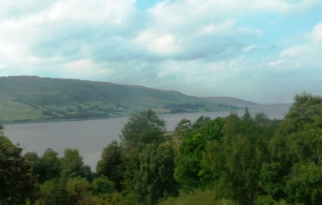
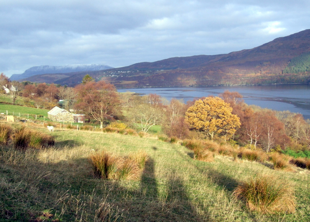
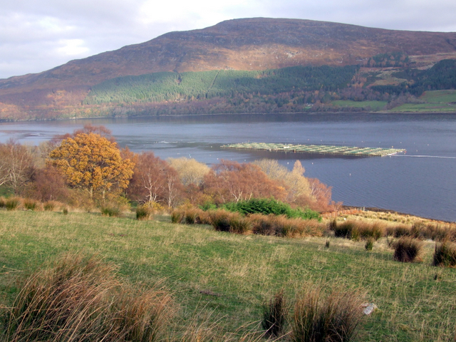
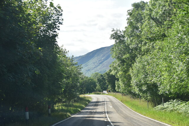
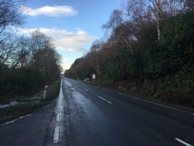
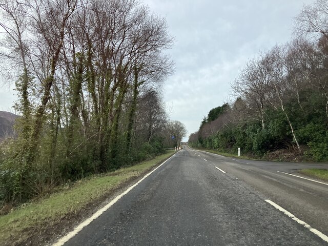
Leckmelm Wood, located in Ross-shire, Scotland, is a picturesque and enchanting forest that covers an area of approximately 3,000 acres. Nestled in the scenic Highlands, this ancient woodland is a haven for nature enthusiasts and outdoor adventurers alike.

The wood is primarily composed of native broadleaf trees, such as oak, birch, and rowan, which create a diverse and vibrant ecosystem. The dense canopy provides shelter for a wide variety of wildlife, including red squirrels, deer, and a plethora of bird species. The forest floor is rich in flora, with bluebells, primroses, and wood sorrel carpeting the ground during the spring months.

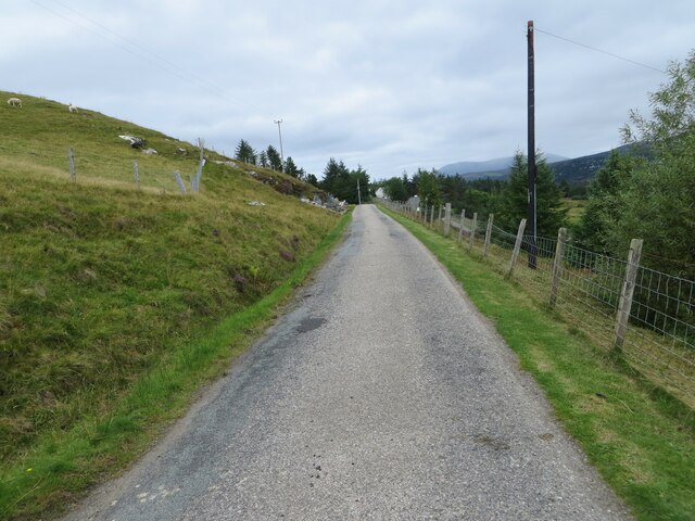
Leckmelm Wood boasts a network of well-maintained trails and paths, allowing visitors to explore its beauty on foot or by bicycle. The routes wind through the woodland, offering breathtaking views of the surrounding countryside and the nearby Loch Broom. There are also several picnic areas and benches scattered throughout the forest, providing the perfect spot to sit back, relax, and soak in the tranquility of nature.

In addition to its natural beauty, Leckmelm Wood has historical significance. The remains of an Iron Age fort can be found within the forest, serving as a reminder of the area's ancient past.

Overall, Leckmelm Wood is a captivating destination for those seeking solace in nature. Its lush foliage, diverse wildlife, and stunning vistas make it a must-visit location for anyone exploring the Scottish Highlands.

If you have any feedback on the listing, please let us know in the comments section below.

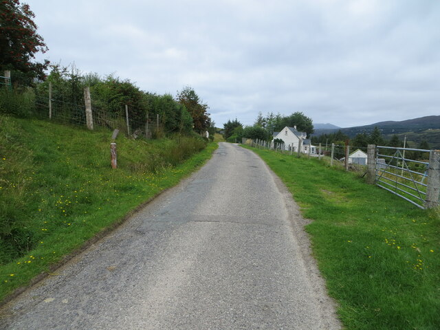
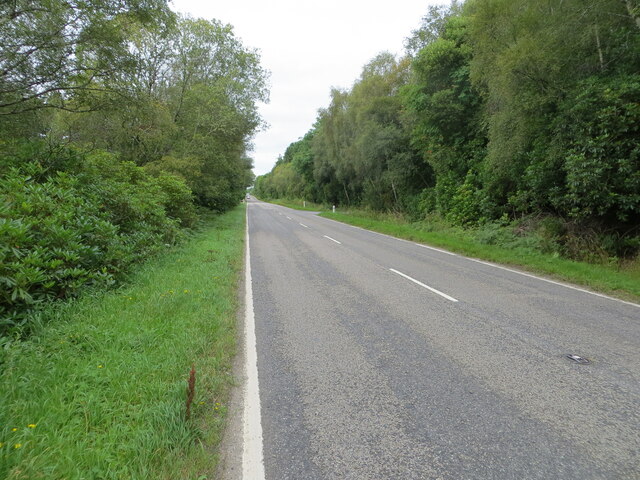
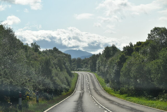
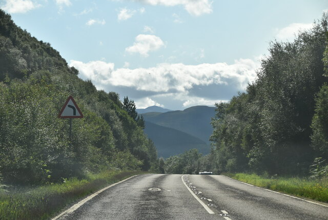
Leckmelm Wood Images

Images are sourced within 2km of 57.875682/-5.1020179 or Grid Reference NH1691. Thanks to Geograph Open Source API. All images are credited.

Loch Broom Viewed from the A835.
Loch Broom
Viewed from the A835.
Loch Broom Cabins Just a stone's throw from Ullapool, these cabins look out over Loch Broom
Loch Broom Cabins
Just a stone's throw from Ullapool, these cabins look out over Loch Broom
Rhiroy, Loch Broom
Rhiroy, Loch Broom
Fish farming in Loch Broom, near Rhiroy
Minor road between Rhiroy and Loggie Looking north-westward.
Minor road between Rhiroy and Loggie
Looking north-westward.
Minor road at Loggie Looking north-westward.
Minor road at Loggie
Looking north-westward.
Road (A835) beside Leckmelm Wood Looking north-westward in the direction of Ullapool.
Road (A835) beside Leckmelm Wood
Looking north-westward in the direction of Ullapool.
Track giving access to Campbelltown, Leckmelm Looking north-eastward from the A835.
Track giving access to Campbelltown, Leckmelm
Looking north-eastward from the A835.
Track from Leckmelm House at Campbelltown Looking north-westward.
Track from Leckmelm House at Campbelltown
Looking north-westward.
Ordnance Survey Flush Bracket G1960 This bracket can be found on the wall of a house - a private dwelling - near to Blarbog, Leckmelm.
The recorded details give a height of 27.95 metres above sea level.
For more details see : <span class="nowrap"><a title="https://www.bench-marks.org.uk/bm20074" rel="nofollow ugc noopener" href="https://www.bench-marks.org.uk/bm20074">Link</a><img style="margin-left:2px;" alt="External link" title="External link - shift click to open in new window" src="https://s1.geograph.org.uk/img/external.png" width="10" height="10"/></span>
Ordnance Survey Flush Bracket G1960
This bracket can be found on the wall of a house - a private dwelling - near to Blarbog, Leckmelm. The recorded details give a height of 27.95 metres above sea level. For more details see : LinkExternal link
A835 The A835 runs 66 miles from Tore to Ledmore <a href="https://www.geograph.org.uk/photo/7135759">NC2412 : A835, A837 junction, Ledmore</a>, via Ullapool.
<span class="nowrap"><a title="https://www.sabre-roads.org.uk/wiki/index.php?title=A835" rel="nofollow ugc noopener" href="https://www.sabre-roads.org.uk/wiki/index.php?title=A835">Link</a><img style="margin-left:2px;" alt="External link" title="External link - shift click to open in new window" src="https://s1.geograph.org.uk/img/external.png" width="10" height="10"/></span>
A835
The A835 runs 66 miles from Tore to Ledmore NC2412 : A835, A837 junction, Ledmore, via Ullapool. LinkExternal link
A835, Leckmelm The A835 runs 66 miles from Tore to Ledmore <a href="https://www.geograph.org.uk/photo/7135759">NC2412 : A835, A837 junction, Ledmore</a>, via Ullapool.
<span class="nowrap"><a title="https://www.sabre-roads.org.uk/wiki/index.php?title=A835" rel="nofollow ugc noopener" href="https://www.sabre-roads.org.uk/wiki/index.php?title=A835">Link</a><img style="margin-left:2px;" alt="External link" title="External link - shift click to open in new window" src="https://s1.geograph.org.uk/img/external.png" width="10" height="10"/></span>
A835, Leckmelm
The A835 runs 66 miles from Tore to Ledmore NC2412 : A835, A837 junction, Ledmore, via Ullapool. LinkExternal link
A835 towards Ullapool
Show me another place!

Leckmelm Wood is located at Grid Ref: NH1691 (Lat: 57.875682, Lng: -5.1020179)

Unitary Authority: Highland

Police Authority: Highlands and Islands

What 3 Words

///eggs.pasta.consoles. Near Ullapool, Highland

Nearby Locations

Leckmelm Wood

Related Wikis

Battle of Leckmelm

The Battle of Leckmelm was a Scottish clan battle that took place in 1586, in the Scottish Highlands. It was fought between the Clan Gunn against the Clan...

Leckmelm

Leckmelm (Scottish Gaelic: Leac Mailm) is a small settlement on the eastern shore of Loch Broom, in Wester Ross in the Highland council area of Scotland...

Beinn Eilideach

Beinn Eilideach (mountain of hinds) is a mountain near Ullapool in Ross-shire in the Scottish Highlands. It is 559 metres high, and listed as a Marilyn...

Rhiroy

Rhiroy is a remote crofting township situated on the west shore of Loch Broom in Garve, Ross-shire, Scottish Highlands and is in the Scottish council area...

Nearby Amenities

Located within 500m of 57.875682,-5.1020179
Source: PGS
Lat/Long: 57.8754643/-5.1102493
Source: PGS
Lat/Long: 57.8752525/-5.1093651
Created By: almien_coastlines
Source: PGS
Lat/Long: 57.875022/-5.109229
Source: PGS
Lat/Long: 57.874599/-5.1083363
Created By: almien_coastlines
Source: PGS
Lat/Long: 57.874403/-5.107992
Created By: almien_coastlines
Source: PGS
Lat/Long: 57.874279/-5.107744
Created By: almien_coastlines
Source: PGS
Lat/Long: 57.874155/-5.107497
Source: PGS
Lat/Long: 57.8736668/-5.106675
Source: PGS
Lat/Long: 57.8735112/-5.106427
Source: PGS
Lat/Long: 57.8732577/-5.1059532
Source: PGS
Lat/Long: 57.8731095/-5.1056824
Source: PGS
Lat/Long: 57.8726717/-5.1049952
Source: PGS
Lat/Long: 57.8725875/-5.1048229
Created By: almien_coastlines
Source: PGS
Lat/Long: 57.872536/-5.104758
Created By: almien_coastlines
Source: PGS
Lat/Long: 57.872296/-5.103783
Source: PGS
Lat/Long: 57.8718167/-5.1027629
Created By: almien_coastlines
Source: PGS
Lat/Long: 57.871676/-5.102546
Parking
Lat/Long: 57.8752329/-5.1080873
Parking
Lat/Long: 57.874489/-5.1058385
Power: pole
Lat/Long: 57.8736023/-5.1007247
Power: pole
Lat/Long: 57.8745394/-5.1037717
Power: pole
Lat/Long: 57.8753382/-5.106301
Power: pole
Lat/Long: 57.876328/-5.1095009
Board Type: nature
Information: board
Tourism: information
Lat/Long: 57.872652/-5.1008085
Barrier: entrance
Foot: yes
Lat/Long: 57.8728363/-5.1017166
The data included in this document is from www.openstreetmap.org. The data is made available under ODbL.

Have you been to Leckmelm Wood?

Leave your review of Leckmelm Wood below (or comments, questions and feedback).