Cameron Bridge
Settlement in Fife
Scotland
Cameron Bridge

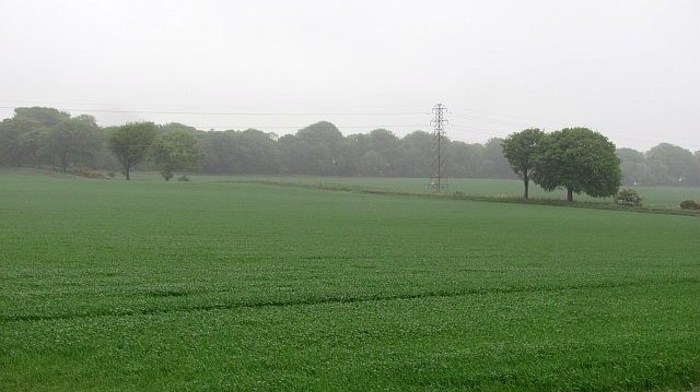
Cameron Bridge is a small village located in the county of Fife, Scotland. Situated on the northern banks of the River Leven, it is nestled between the towns of Leven and Windygates. The village is well-known for its historic bridge, which dates back to the 17th century.
The bridge, after which the village is named, spans the River Leven and serves as a crucial link between the two banks. It has played a significant role in the area's transportation network, facilitating trade and connecting the surrounding communities. The bridge itself is an architectural marvel, with its stone arches and sturdy construction standing the test of time.
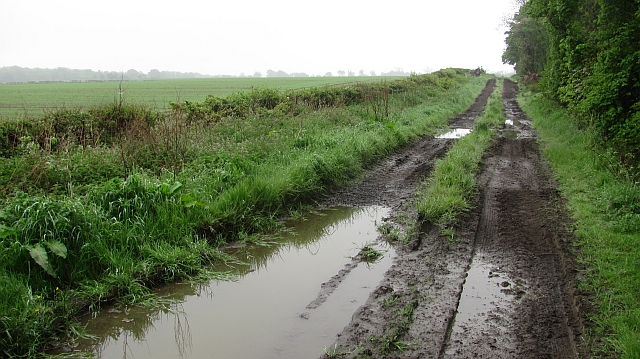
While Cameron Bridge is primarily a residential area, it is also home to a few small businesses and amenities. The village boasts a local pub, a convenience store, and a post office, catering to the needs of its residents. Additionally, the picturesque surroundings make it an attractive place for nature lovers, with opportunities for walks along the riverbank and scenic views of the nearby countryside.
Cameron Bridge's proximity to the larger towns of Leven and Windygates means that residents have access to a wider range of services, including schools, healthcare facilities, and shopping centers. The village also benefits from good transport links, with regular bus services connecting it to surrounding areas.
Overall, Cameron Bridge offers a peaceful and picturesque setting, with its historic bridge and natural beauty making it a charming place to live or visit in Fife.
If you have any feedback on the listing, please let us know in the comments section below.
Cameron Bridge Images
Images are sourced within 2km of 56.179048/-3.0647378 or Grid Reference NT3499. Thanks to Geograph Open Source API. All images are credited.


Cameron Bridge is located at Grid Ref: NT3499 (Lat: 56.179048, Lng: -3.0647378)
Unitary Authority: Fife
Police Authority: Fife
What 3 Words
///start.tamed.shuts. Near Buckhaven, Fife
Nearby Locations
Related Wikis
Cameron Hospital
Cameron Hospital is a health facility in Cameron Road, Windygates, Fife, Scotland. It is managed by NHS Fife. The original building, known as Haig House...

Cameron Bridge
Cameron Bridge is a village in the conurbation of Levenmouth in Fife, Scotland. It is near to the village of Windygates and 2 miles (3 kilometres) west...
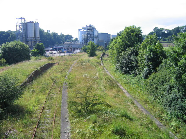
Cameron Bridge railway station
Cameron Bridge railway station served the village of Cameron Bridge, Fife, Scotland from 1854 to the 1990s on the Fife Coast Railway. The line and station...
Kirkcaldy (district)
Kirkcaldy (Scottish Gaelic: Dùn Phàrlain, Scots: Dunfaurlin) was a local government district in the Fife region of Scotland from 1975 to 1996. The district...
Nearby Amenities
Located within 500m of 56.179048,-3.0647378Have you been to Cameron Bridge?
Leave your review of Cameron Bridge below (or comments, questions and feedback).